


Hazy Morning
The best part about that morning was that Dan W had kept the fire going all night and when I awoke, Jay was stoking it up. I dragged my chair over and just enjoyed the peace for a little bit... at least as long as Sunny and Zuko allowed. it.
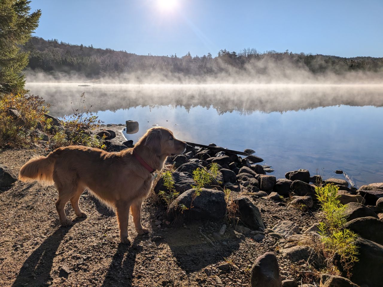
When we went down to get water, I got some morning photos of Sunny's fur glowing like a halo in the sunrise. Mist rose gently from the lake late into the morning. All weekend the water had been warmer than the air and today was no different.
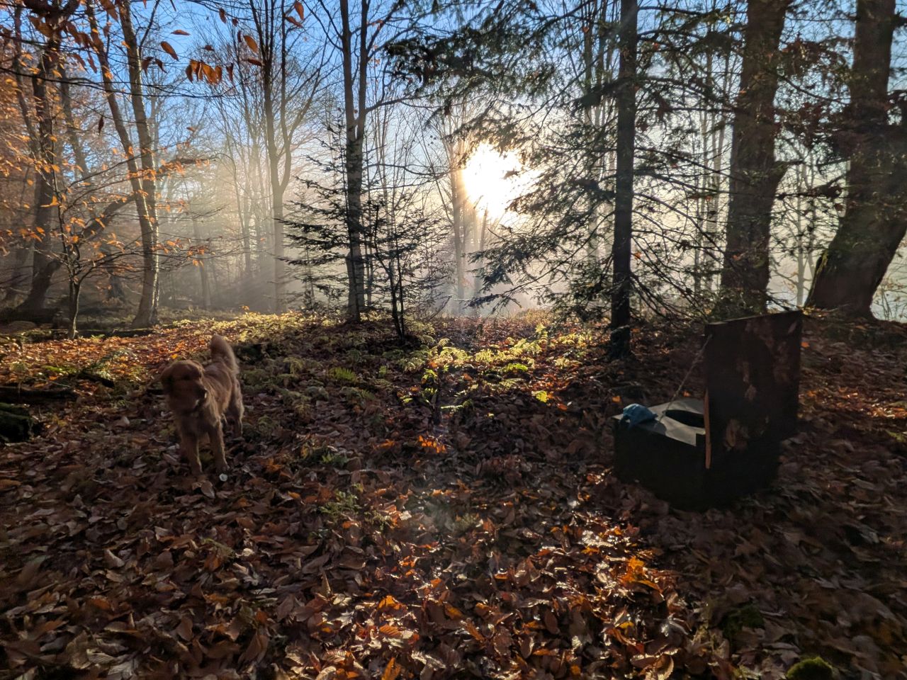
The privy at Cedar Lakes Lean-to #1 was choice. Dan H gave it 5/5 half-moons. I couldn't disagree at all. Sadly, it is just about full at this point.
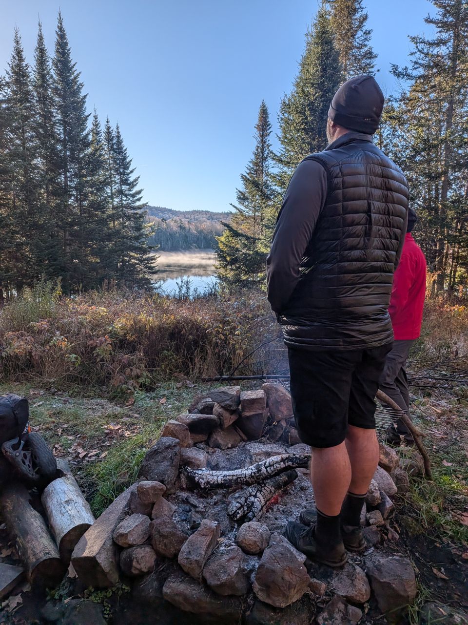
The warming of feet was still a number one priority among the group. I was okay, though, with the Merrell sandals and fresh socks today.
In the past, anxiety at time tables has made this part of backpacking difficult for me. I worry that I'm going too slow or, alternatively making people feel rushed. I didn't really feel any of that today. Perhaps it was the whole vibe of the weekend. Perhaps it's my prescriptions! Either way, we only had 4.4 miles or so back to the trailhead and it was...
...all downhill from here...
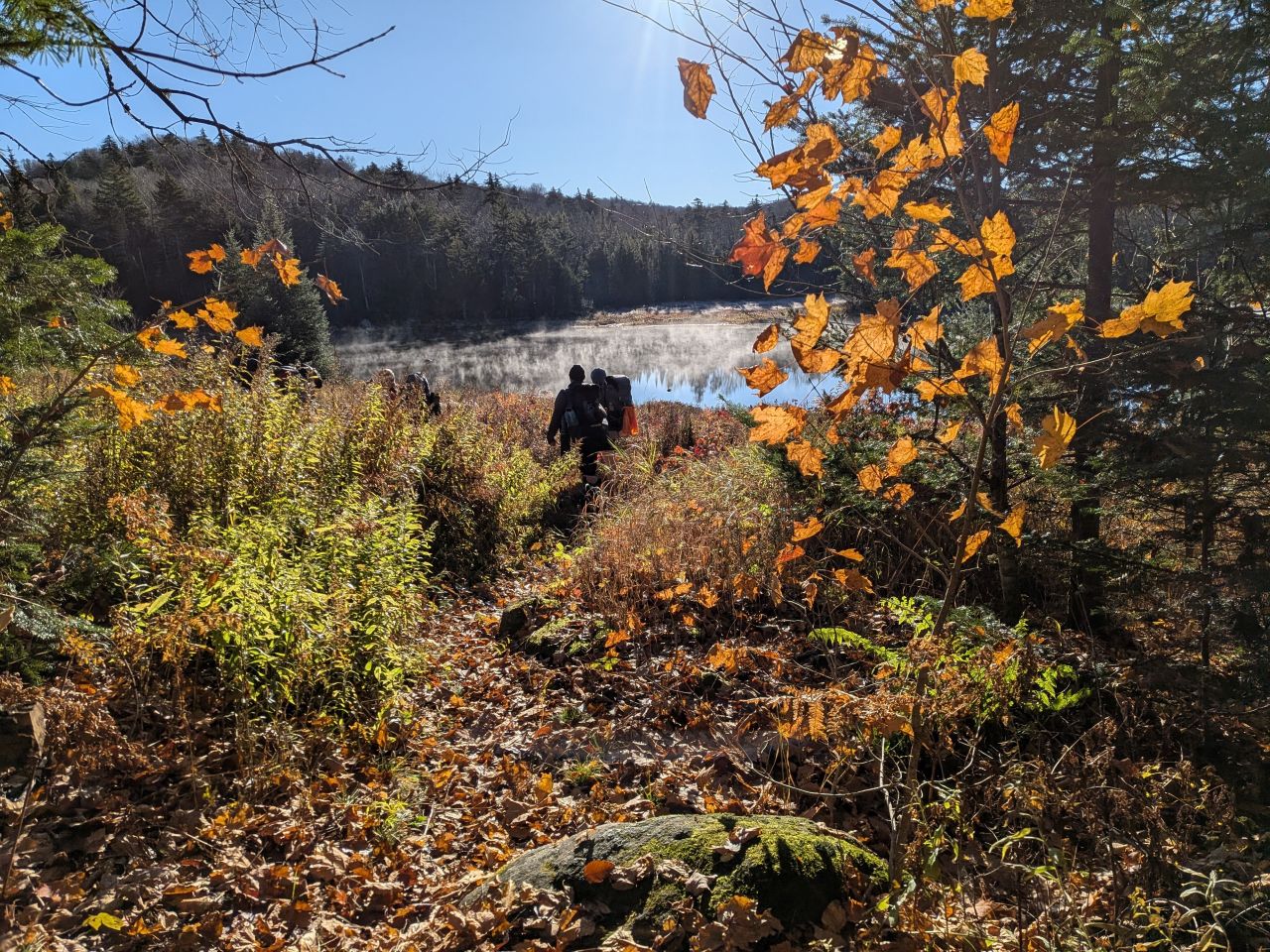
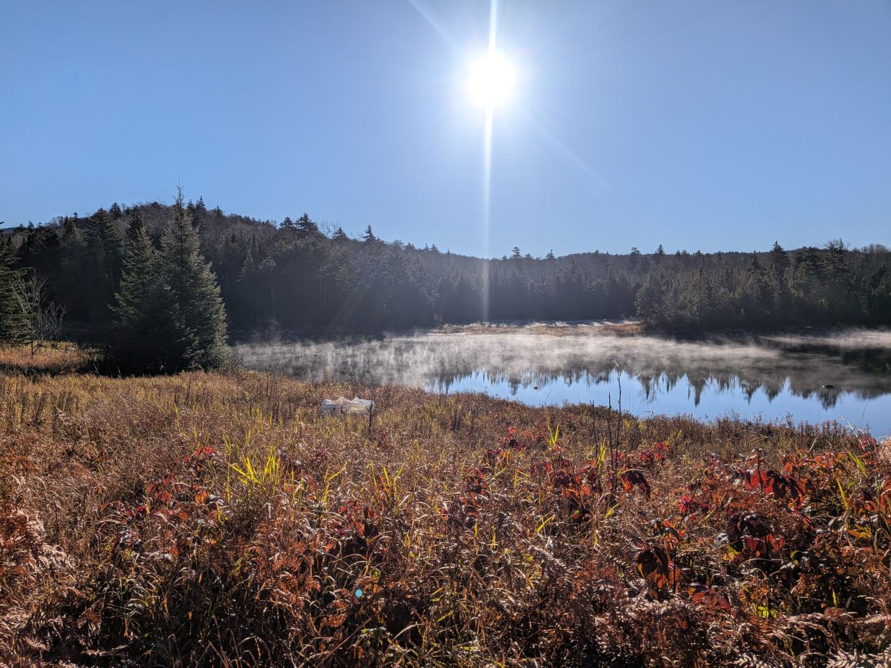
We set off from camp at around 7:35. The lake seemed to be saying goodbye to us as we rounded the Eastern shore.
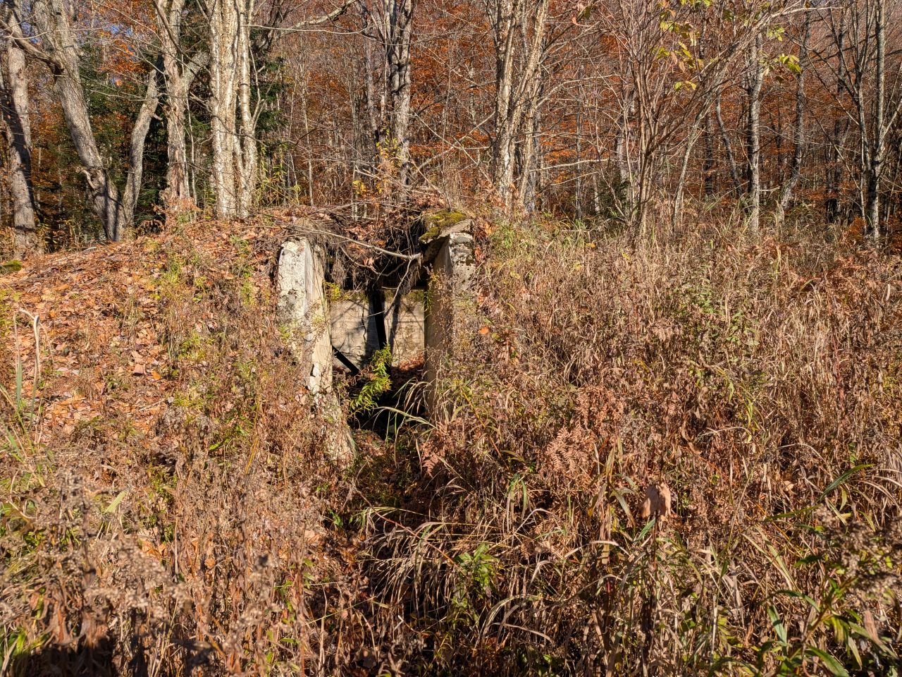
There's an old root cellar, marking the ruins an old ranger station, standing on the left side of the trail heading towards the dam. This was one of two ranger station ruins in the area, the other being French Louie's old abode.
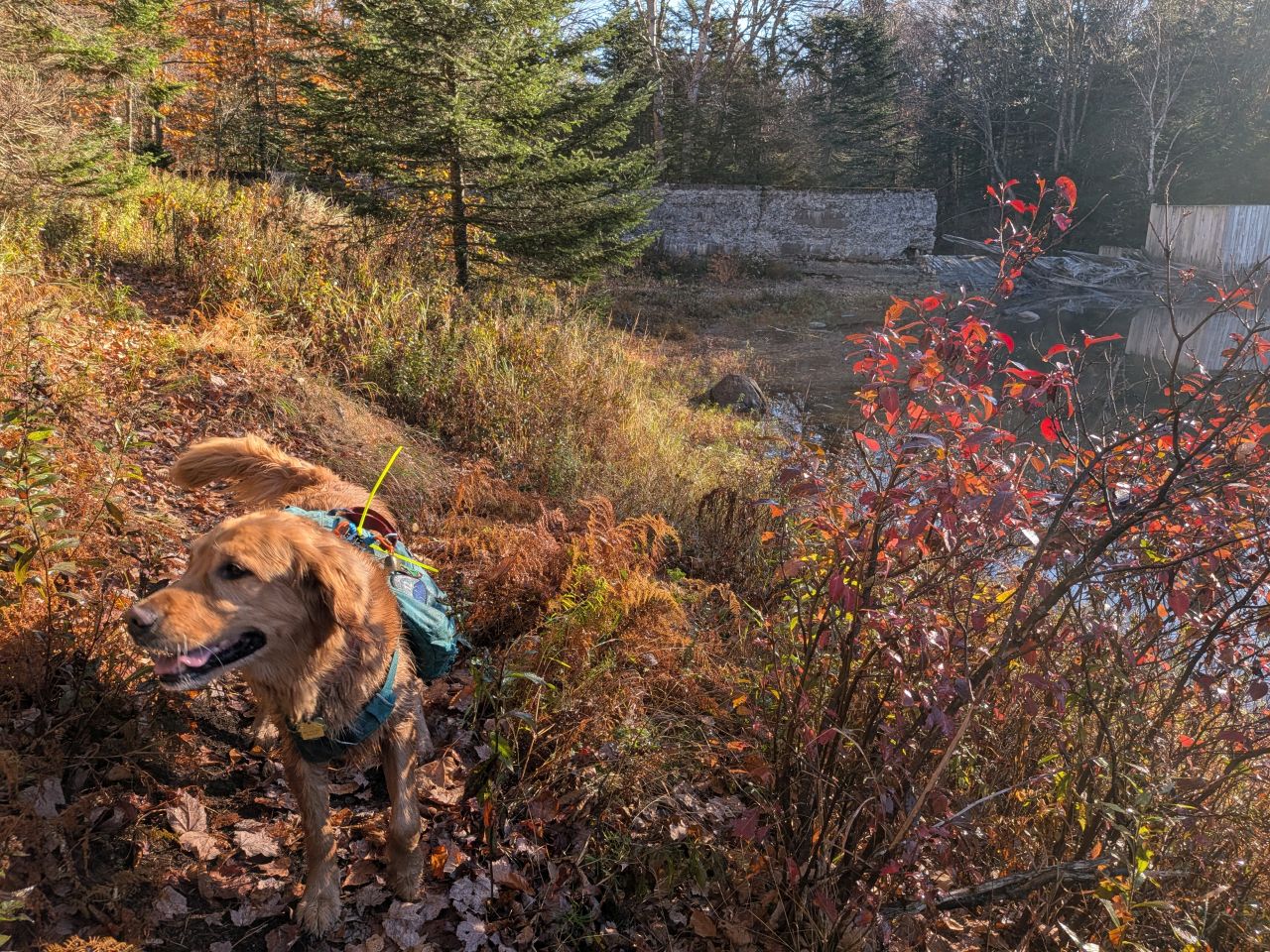
The dam itself was built by lumber companies to facilitate the moving of logs downstream in the early 20th century. The dam is not intended as the method for crossing the outlet of the river.
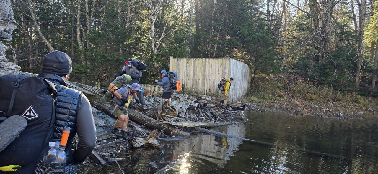
FR tho. I almost took a bath.
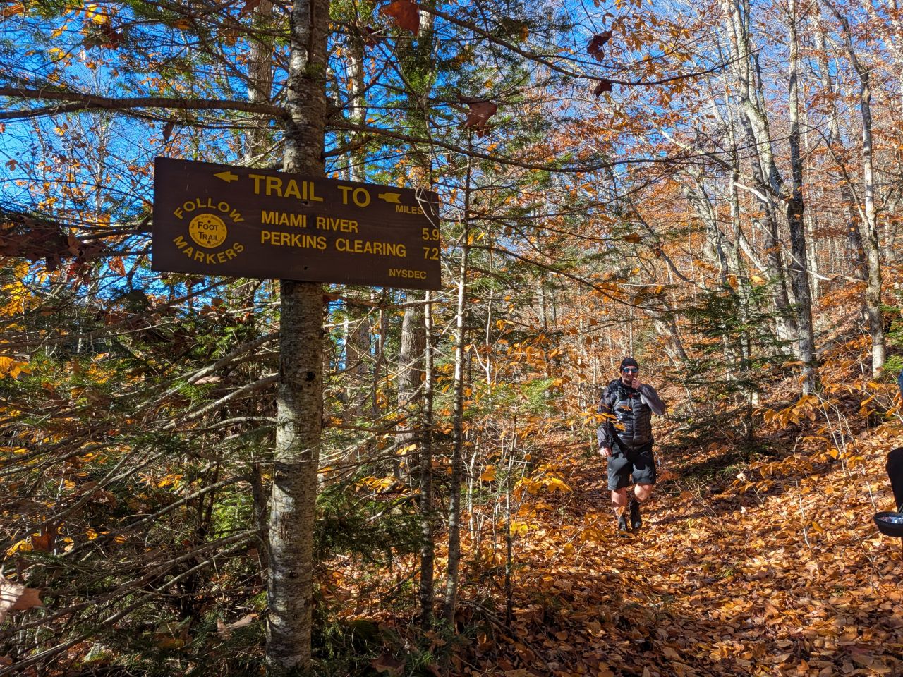
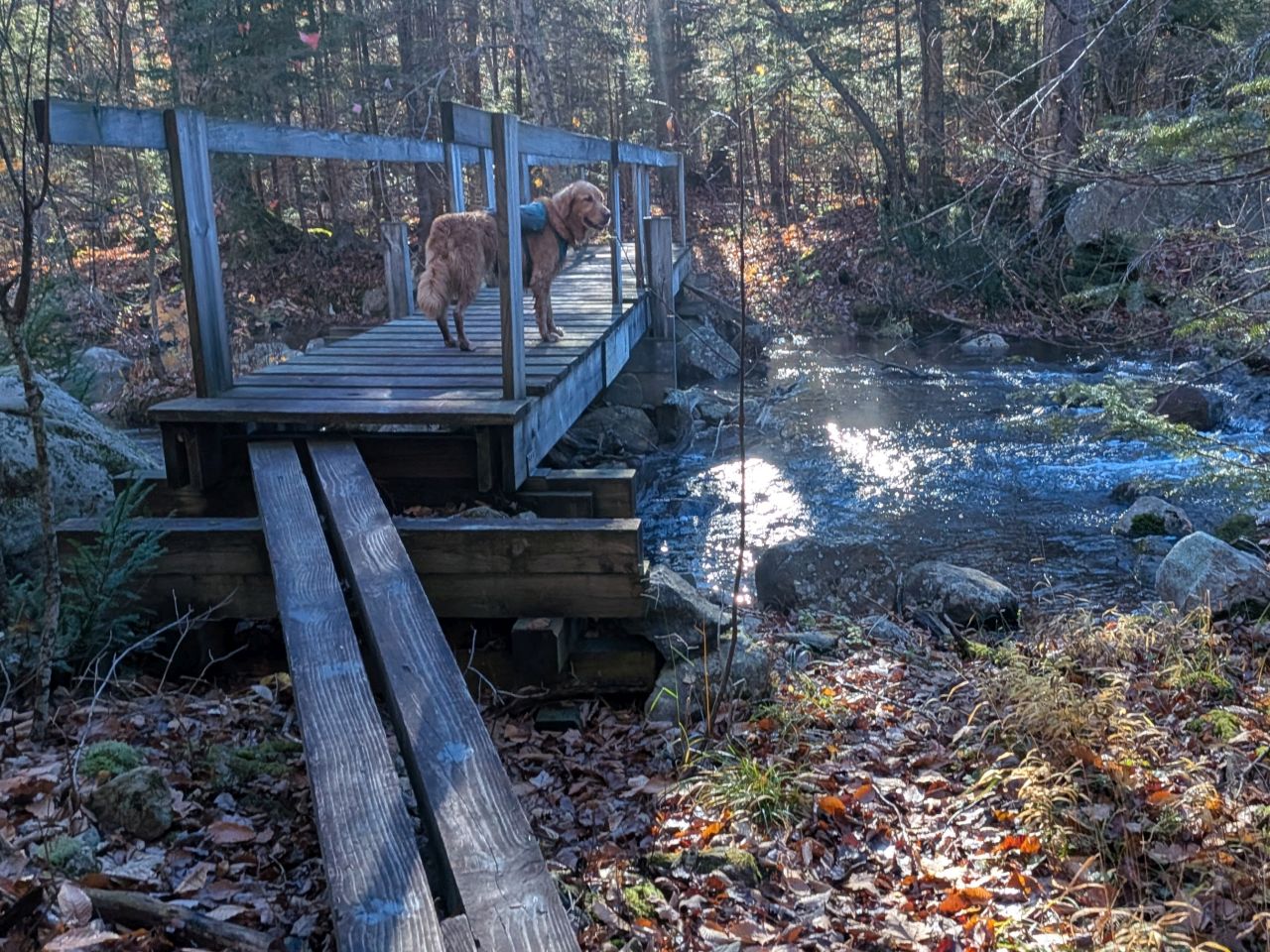
Looking at the map, we found there was a bridge for crossing. We did that instead. It was a nice bridge, too.
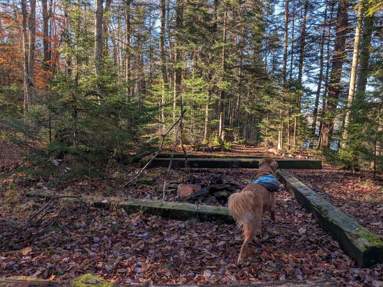
Both sides of the dam feature some expansive camping opportunities. Large groups should take notice of this specific area for any future adventures out here. The size, nature, and historical significance of the site might make for a good Scout destination.
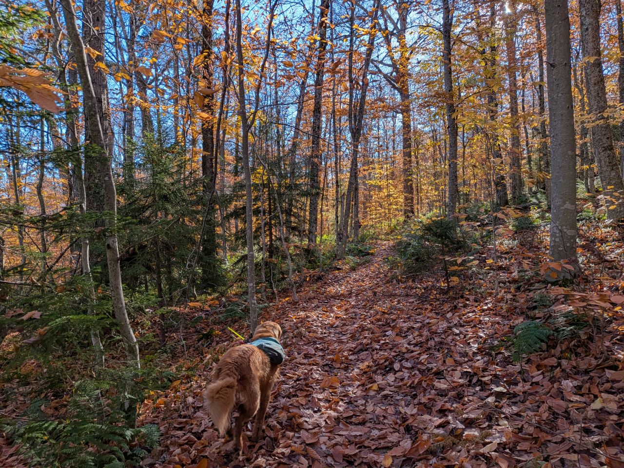
We went uphill a bit before continuing along the trail, but we weren't mad about it. Our feet were dry and the day was beaming. As such, our hearts were light enough to carry us over the hill.
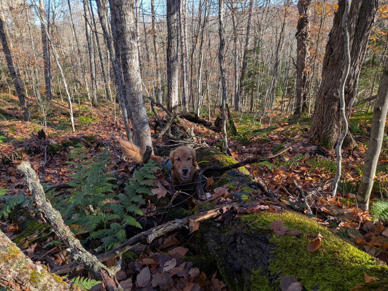
A squirrel captured Sunny in a trap.
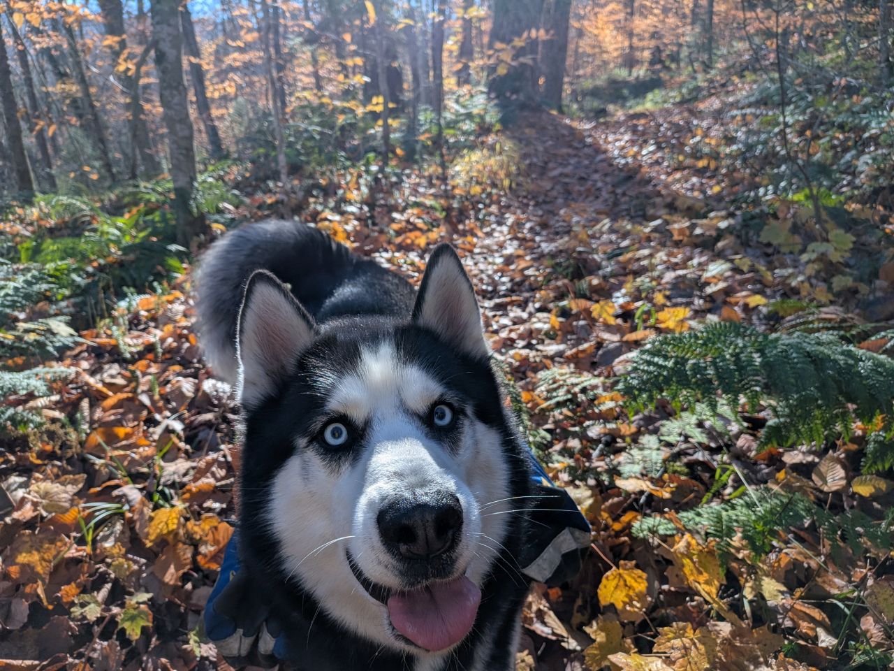
"Hi. What a great day. Running in woods. Also going home to my couch."
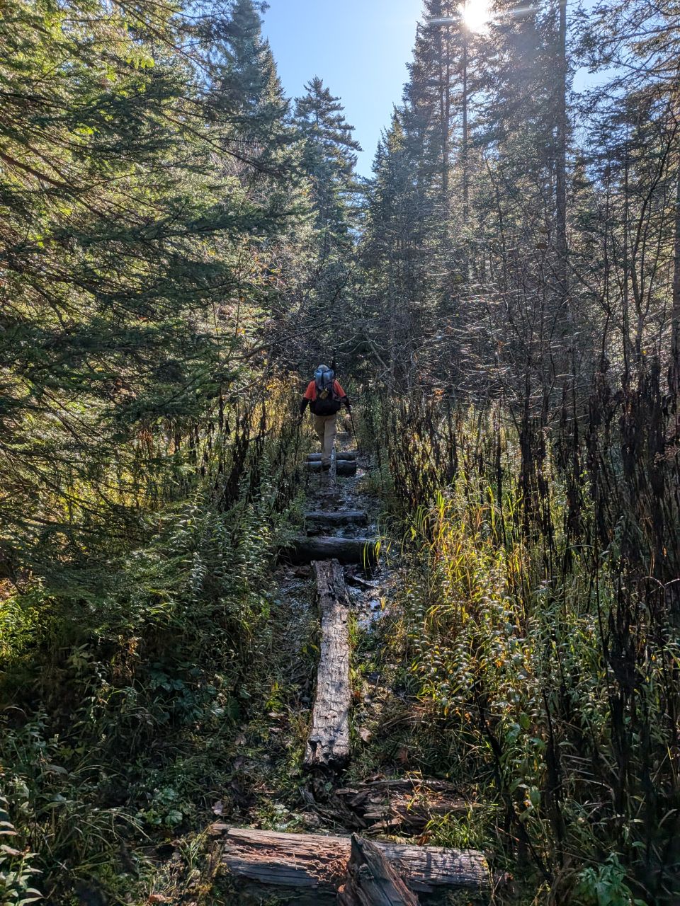
The Cedar Lakes Trail is generally downhill, but honestly mostly flat and it does have some sections of rotting log balancing. I ate shit at least once today, but my feet remained (mostly) dry. The wet was certainly nothing compared to the first day.
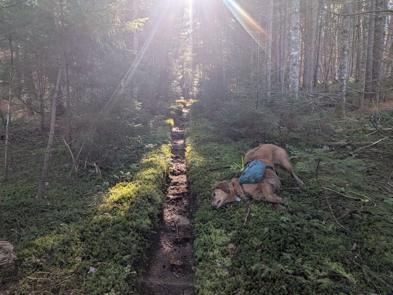
"OMG I LOVE LIVERWORTS!"
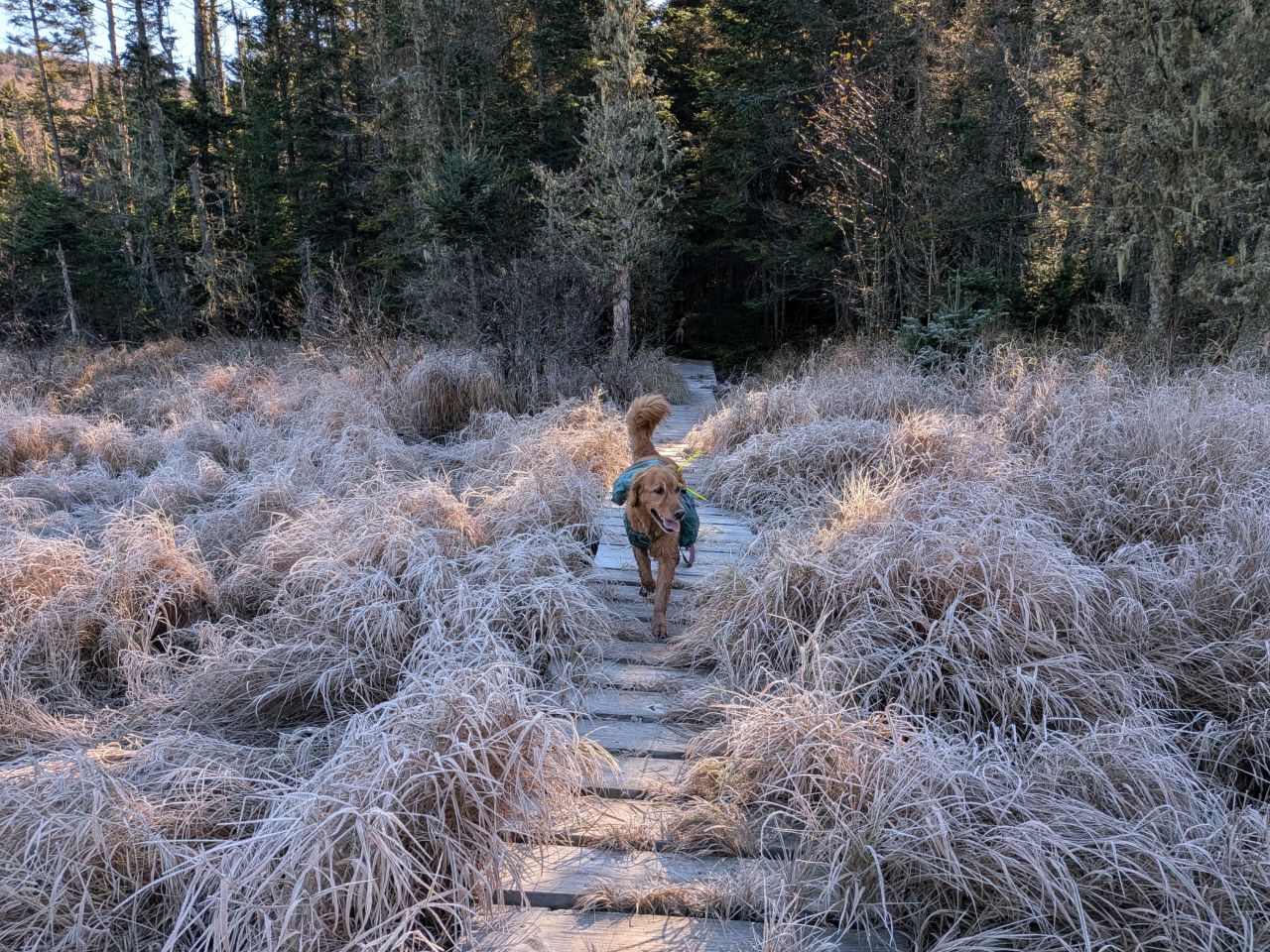
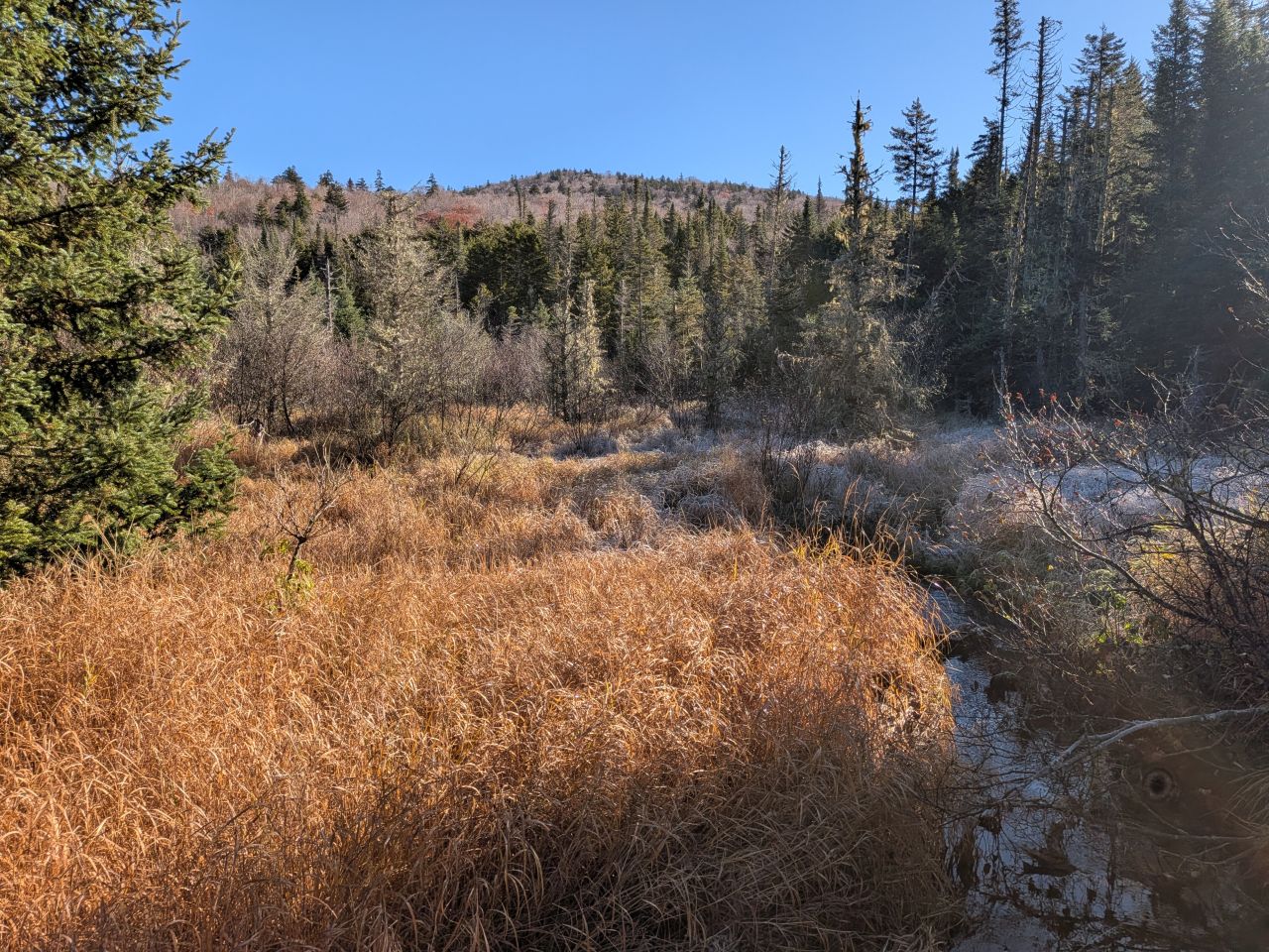
We dipped down into a few places where the cold was trapped by shadow and gravity. Frost rimed this crossing, but it was beautiful, as was the expanse of golden marsh grasses beyond. I believe this is a crossing over the "Grassy Brook" which is an apt name. Later, after some slight uphill hiking, we cross it again as...
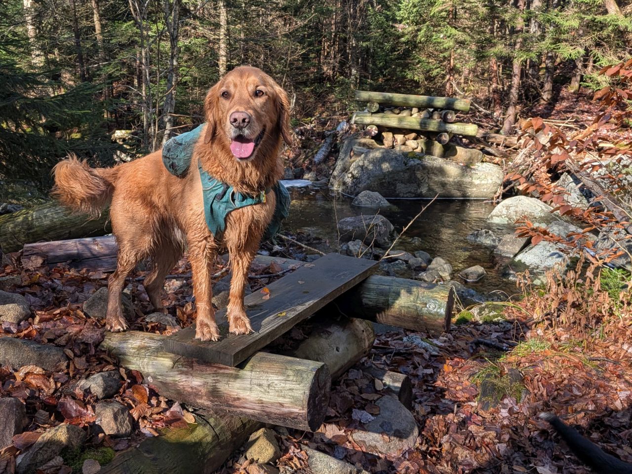
...the "Stony Brook". It seems that water comes rushing through here in the spring from Blue Ridge Peak in the East (#55 on the Adirondack 100 highest). As such, the bridge here has been swept away, so if you're coming here in shoulder season, you may need to consider the risk of the crossing being impassable.
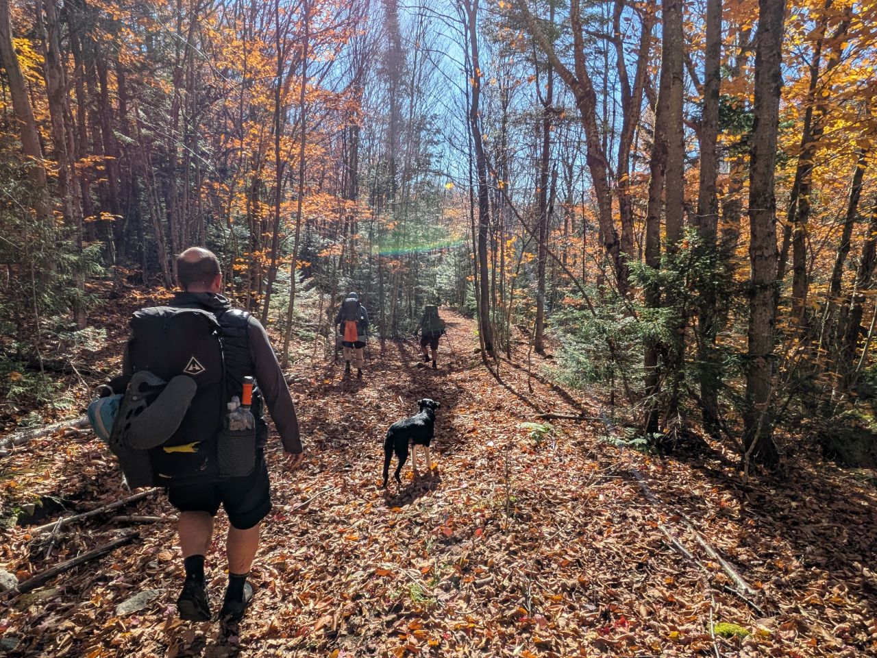
The real downhill began after we reached the French Louis Trail junction. Hiking down over the leaf-carpeted rocks was twice as dangerous as hiking up them. Especially considering how much weight I was carrying on my back, I didn't feel bad about keeping a reasonably consistent and methodical pace while negotiating this terrain.
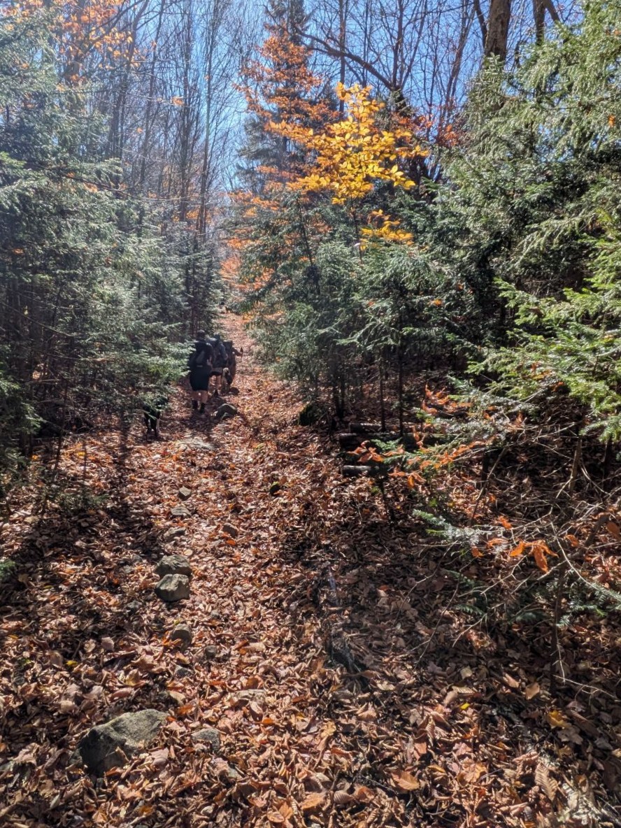
Even without snow on everything, the hike down was still pretty. We reached the parking area at 9:00am sharp, less than an hour and a half after we'd left camp. I'd say that, despite it being downhill, that's pretty darn impressive.
Pillsbury Mountain
We hung out at the trailhead for a little while and stowed our gear and said our goodbyes. Mark, Dan H, and I repacked bags for the climb up Pillsbury Mountain. I was delighted to find that my brain was fully into the idea of tackling this mountain despite having hiked 22+ miles already this weekend.
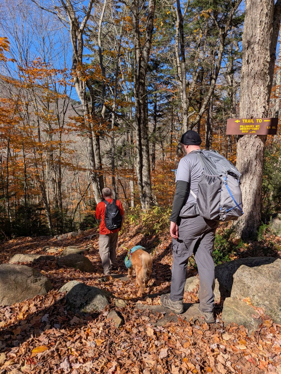
Hiking downhill and carrying minimal baggage in my day pack, I couldn't help but think, "Gosh, I could do this all day!"
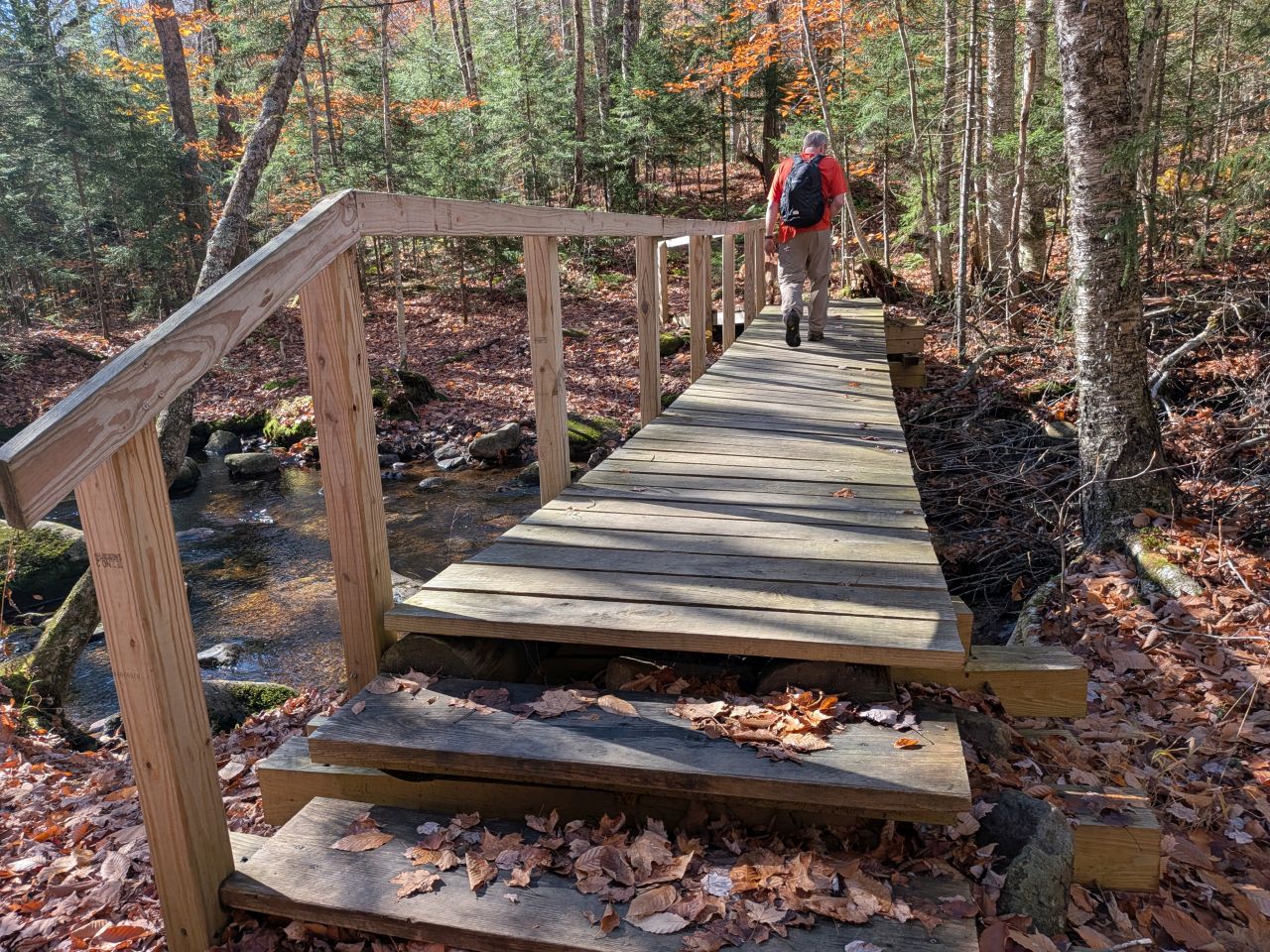
Sadly, the brand new bridge over the Miami River is listing fairly badly to the upstream side. There's also a huge blowdown over the river there now and I'm not sure if that has anything to do with it.
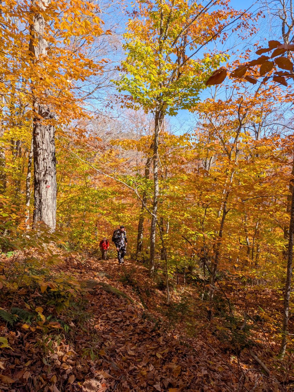
Holy shit, this side of the mountain was still absolutely gorgeous with foliage today. Again, the vistas weren't much to look at today, but the conditions at hiker-level were truly spectacular. It was a really lovely hike.
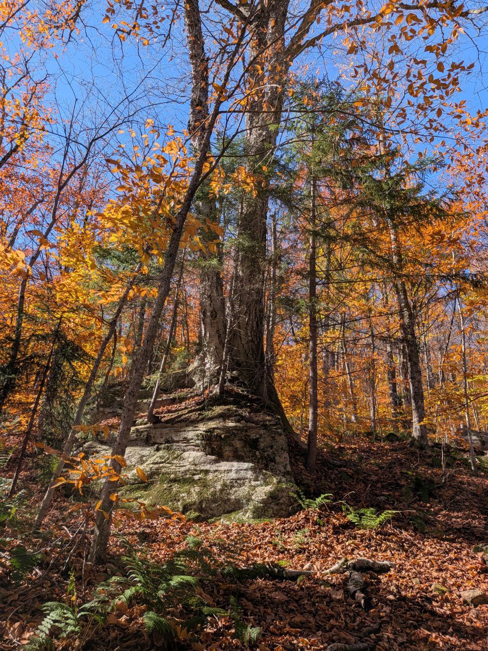
As anyone who's hiked the mountain knows, it's a really steep climb all the way up. I've recently joined a hiking-themed training program and I think it's really helped. Obviously, my legs have always been strong, but today I really felt my arms doing quite a bit more work than usual. Also, I found my breathing to be less labored. Was I huffing and puffing? Sure, but this mountain is nearly 1500' of elevation gain over 1.6 miles and that ain't nothing.
It is true, however, that my memory of the trail was not so great and it's possible I may have provided false hope to my friends on several occasions.
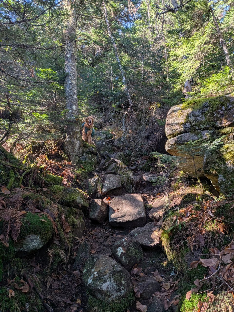
Sunny still had plenty of gas in his tank for climbing a mountain. In fact, I bet he was wondering all weekend where the goddamned peak (and his goddamned summit sandwich) was.
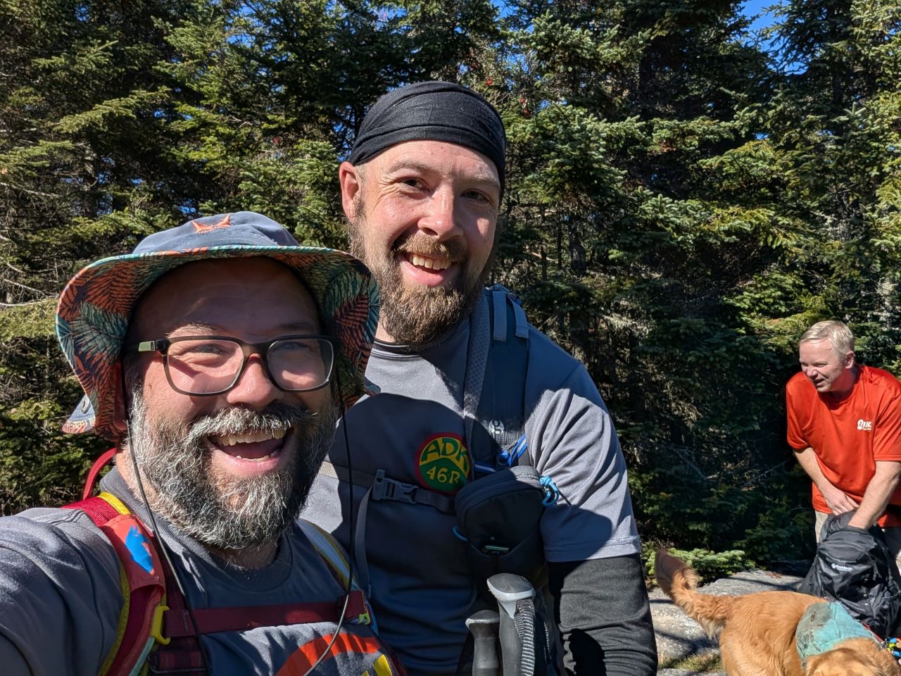
We reached the summit and lived to tell the tale. Dan and I popped our relax-a-chairs open and had a lovely sit and a snack.
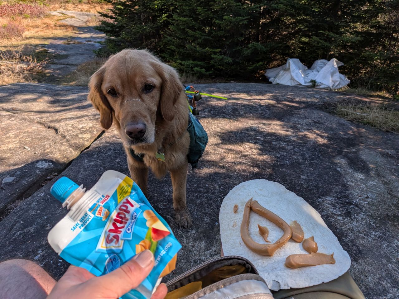
Dan was kind enough to donate a tortilla to the cause.
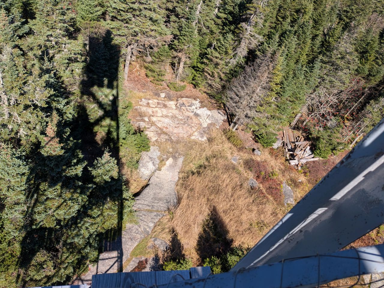
The caretaker's cabin has been totally removed and even though some remnants remain, a lot of the big bags of refuse that had been stacked here have been helicoptered away. It's a lot more visually appealing in this clearing than it once was.
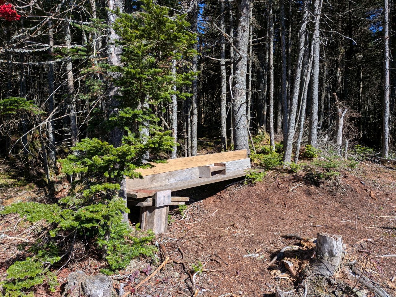
The crews have left a lot of lumber up here, however, and some industrious individual has constructed a bench here for folks to use.
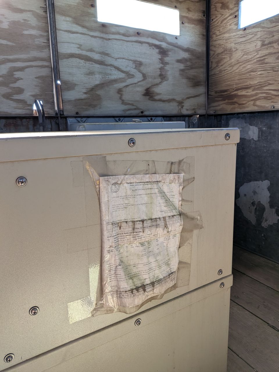
The cabin at the top of the fire tower was actually unlocked this time. The door is extremely rusted and heavy. When I opened it, I found an electronics equipment locker, the contents of which was likely powered by the solar panels attached to the South side of the building. The windows in here are plexiglass. There is no reason at all to go in the cabin here despite it being unlocked now.
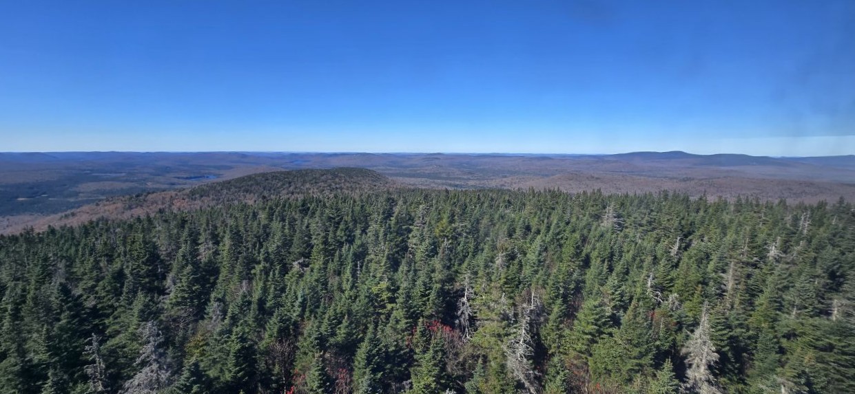
Dan took this panorama of the part of West Canada Lakes Wilderness we'd hiked. He nailed it, really. South and West lakes are situated to the left and the terrain to the right is the Cedar Lakes region. It feels really good to look at this and consider we hiked that huge tract of the Adirondack Park. My GPX track says 26.6 miles and 3724' of elevation gain. With my meandering course and exploring (and maybe forgetting to turn off my GPS at camp once or twice), I'd say that's pretty close. I don't even want to think about what Sunny's stats are!
I'm really happy to have the opportunity to have spent time with such an admirable assortment of individuals and I'm looking forward to the next outing.
Read about the whole trip:
Route Map
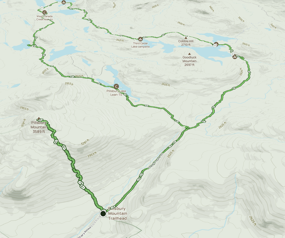
Afternoon_hike_at_French_Louie_Trip_1.gpx (958.97 KB)