


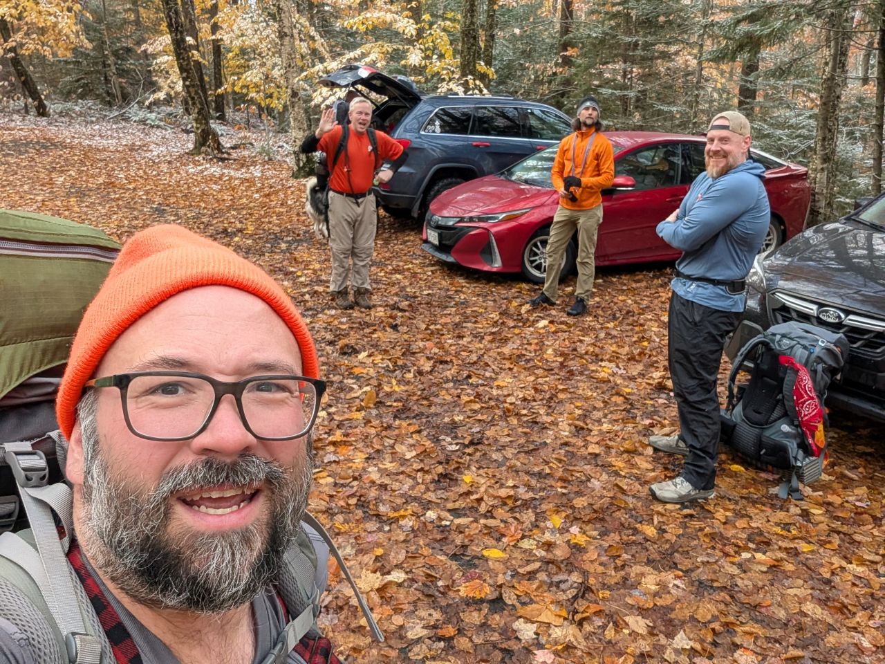
This hike can be started from the Pillsbury Mt. Trailhead as long as your car can make it over the rough road and you aren't trying to hike Dec 1 to May 31 when the road is closed. There seems to have been some recent road mending and there were a variety of cars in the lot; just drive with care.
The adventurers this weekend were Dan H, Dan W with Luna, Jay with Zuko, John, Mark, and me with Sunny.
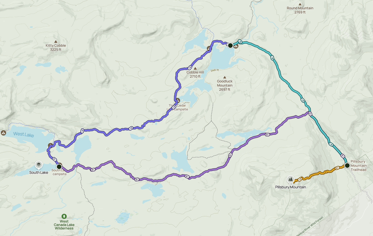
Jay's plan was to hike the loop clockwise starting with the French Louis trail on the South side, hiking 9ish miles to the South Lake Lean-to and staying the night there. The second day, we would hike 7is miles on an iconic section of the Northville-Placid Trail to Cedar Lakes Lean-to #1 and stay the night there. On the third day, we would hike 4.5ish miles back out to the car on the Cedar Lakes Trail. If we were feeling strong, we were leaving the option open to drop our backpacking gear in the cars and climb Pillsbury before leaving for home.
The documentation says it's actually about a 22 mile hike, but distances in the Adirondacks are more of a suggestion than a rule, especially for hikers who tend to wander back and forth along the trail and go exploring from time to time.
The trail is named for Louis Seymour (Adirondack French Louie) who was active in the region in the late 1800s and early 1900s, establishing a cabin near West Lake. The location of the cabin ruins isn't on the trail, however, and requires a bit of a side-adventure which we wouldn't be doing on this trip.
Originally from Ottawa, Seymour spent his time in New York as a carnie, driving mules on the Erie Canal, and working in logging camps. Later, he decided to re-establish himself in the Adirondacks and become a hunter, trapper, and guide. He maintained a lot of camp infrastructure throughout the West Canada Lakes and had many guide clients over the years. Although technically a hermit, Louie made many trips to Speculator where he was a bit of a local celebrity. Check out this Northern Woodlands article for more info. there's also a book about him if you're really interested.
Hiking the French Louis Trail
It was a bit of an adventure to get to our adventure. Dan, Mark, and I met at the Exit 12 park-and-ride (which is in a development) where we found a "no overnight parking" sign, then at exit 15 in the Northway Mall where we found another one. The guys suggested we just park at Walmart, but I was dubious. We moved on to exit 16 park-and-ride which is a little sketchy and unpaved, but there was no sign banning overnight parking. As it turns out, it seems that any park-and-ride which shares a lot with another business doesn't allow overnight parking, but the official stand-alone ones do.
Jay and John met up at Exit 9 park-and-ride to drive up and they reported snow as they approached the park. Dan, Mark, and I also drove through some squalls as we got closer. It had rained the day and night before, but the forecast showed decent weather for the entirety of our backpacking trip after about 10am and for the perpetuity of our adventure.
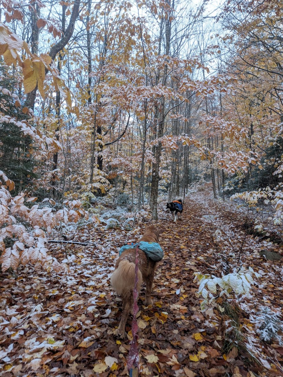
The ground was a bit mushy to start, but the leaves covered everything. It was easy to follow the well-established trail, especially with the snow melting over the warmer and more sun-exposed trail ground.
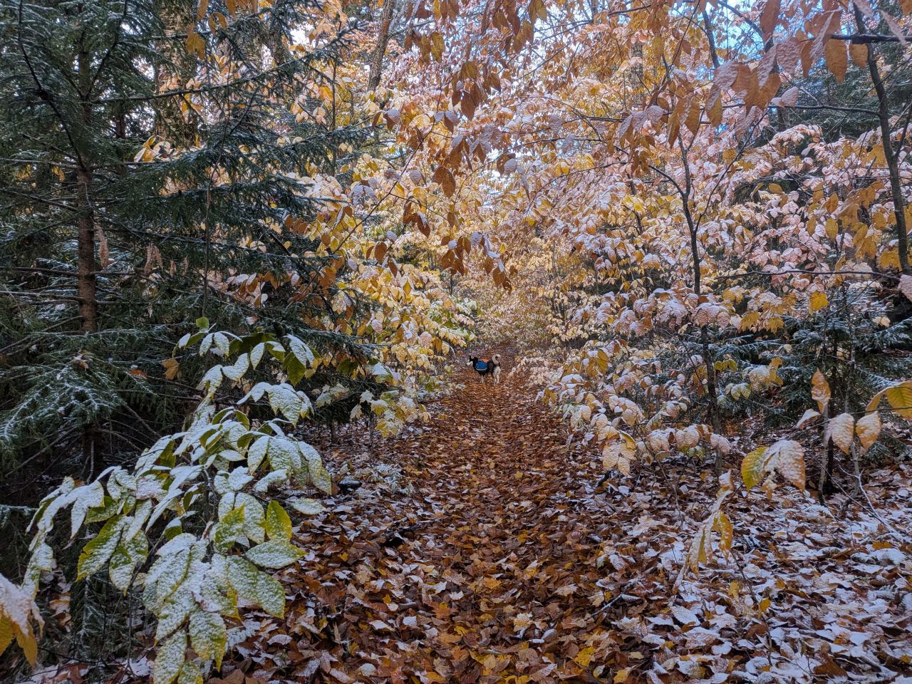
The snowliage was gorgeous today. The dogs were absolutely reveling in it. In some places, we did have to bat at the branches a bit ahead of us to avoid getting soaked, but overall the trail was wide and clear.
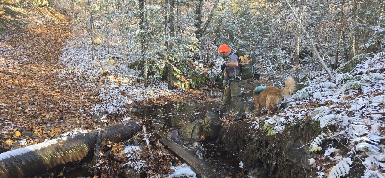
We soon came to the first of many crossings on this trip. Dan got this shot of Sunny and me planning our angle of attack. I was glad to have my trekking poles here.
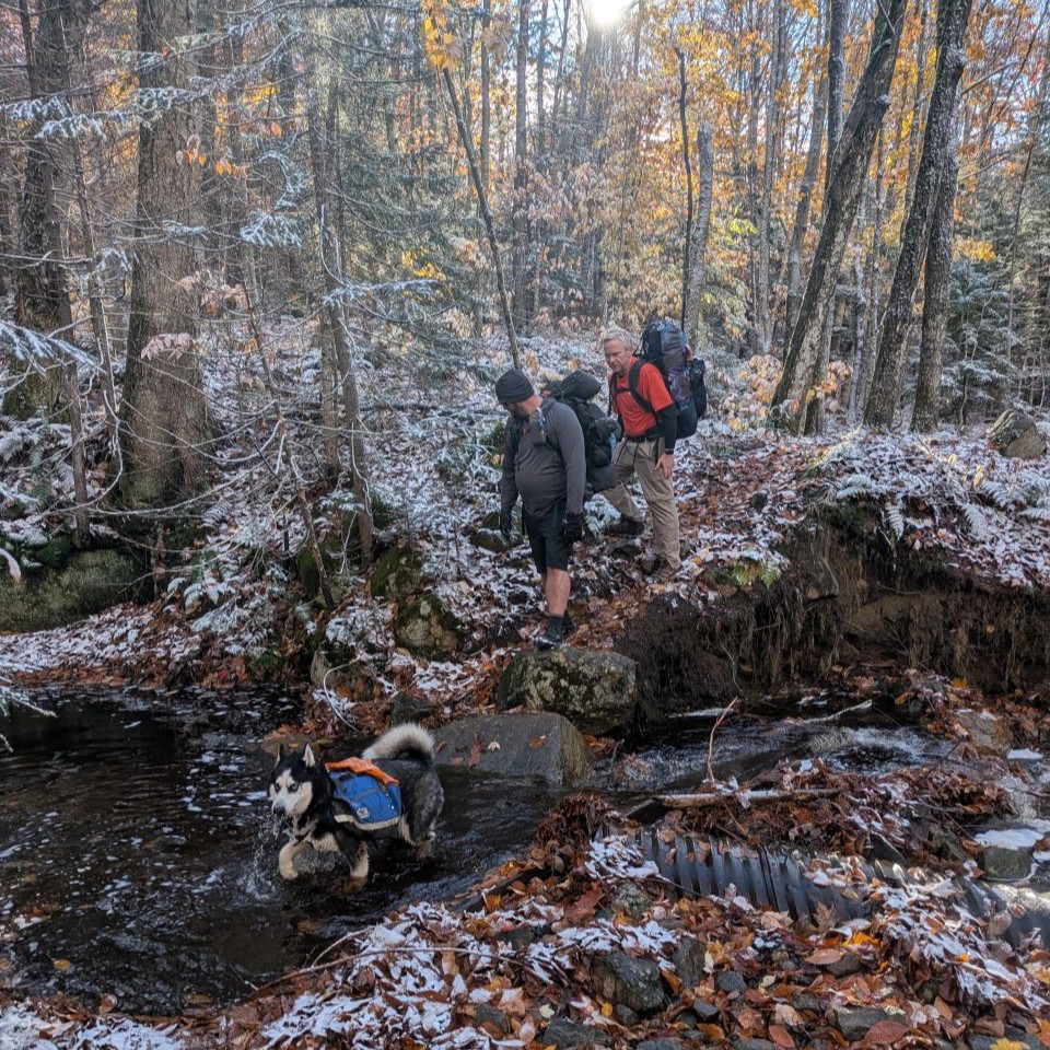
I helpfully recorded the crossing of John and Dan H just in case someone fell and we wanted to laugh about it later. Jay did the same. This is always an important part of every trip. It's possible we have video of someone getting close to the earth in a rapid fashion.
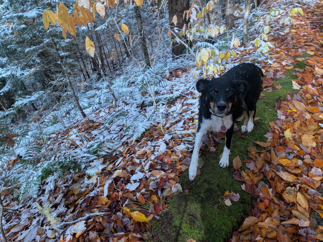
Luna was recovering from an injury months before, but she was back on trail today in good form, keeping up without much issue. She did stay close to her dad for the most part, though. She also kept a close eye on the boys to make sure they were behaving themselves.
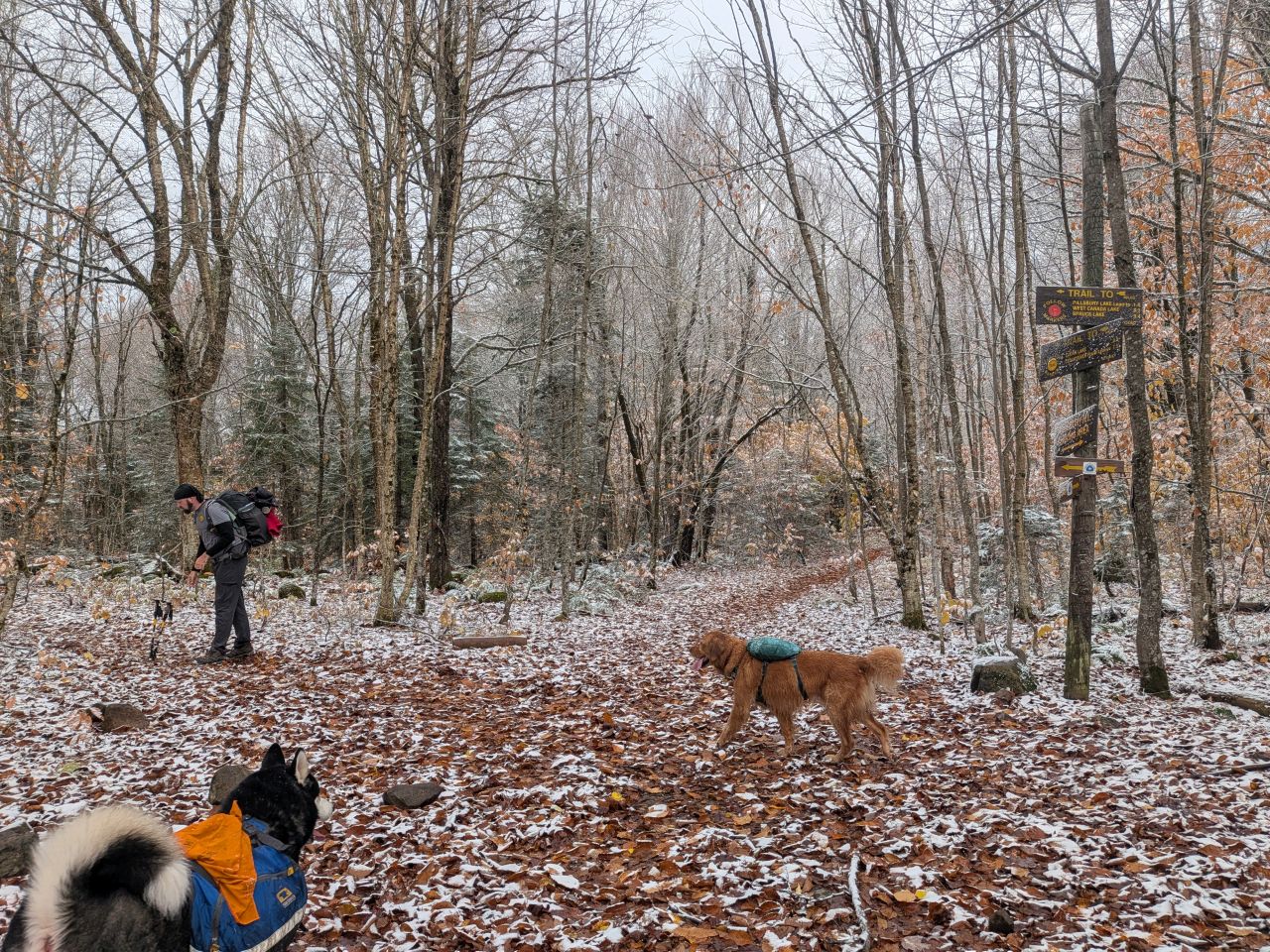
The trail up from the Pillsbury trailhead is a bit of a climb, reminding me a bit of Thomas mountain, just not as steep. The gain is about 400' of ankle-threatening rocks underneath a blanket of leaves. We managed to reach the first junction without injuring ourselves. We hung a hard left and after that it's a little bit more of a climb up to the bowl where we'd be hiking the rest of the time.
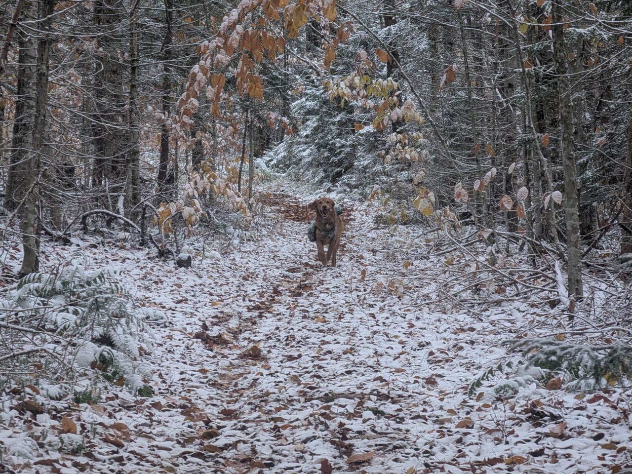
It snowed a bit more this morning, covering even the warmer trail ground. Sunny was living his best life. Although the dangers of hunting and trapping as well as encounters with wildlife were a bit higher here and now, I let him run free. The risk and reward calculus was deep into "fun" territory this weekend.
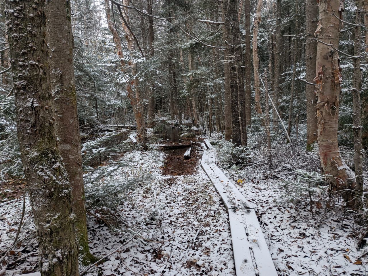
After the initial climb, boardwalks began to appear on the trail. I knew these would be a constant feature in this region. Many of them were quite old, however. Where they were intact, they were slippery as hell and I took at least two falls this weekend. In other places, the lumber was rotted pretty badly, their metal spikes standing naked to the air.
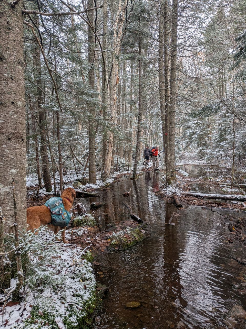
The trail along the East side of Pillsbury Lake is particularly flooded and the boardwalks are either submerged or floating. There's a marshy area on the left (South) side of the trail which flows into Pillsbury Lake which isn't really on the map. The area does have an established spillway, but it is insufficient for the drainage necessary after a rain; instead the water flows over the banks into the trail in several spots.
We got quite wet going through here. Mark, Dans, and Jay tried to use the floating planks to create bridges from one side of the trail to the other and cross. They were fairly successfulish. I tried bypassing over logs and hillocks through the woods with zero success and ended up just sending it down the trail. I did have three additional pairs of socks after all. John skipped the middle man and just yolo'd down the trail.
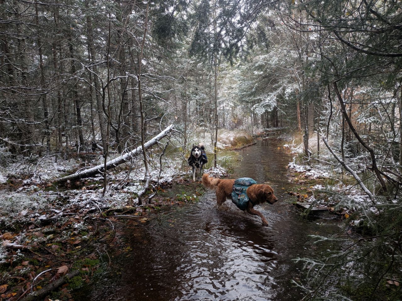
Sunny and Zuko couldn't figure out what our problem was.
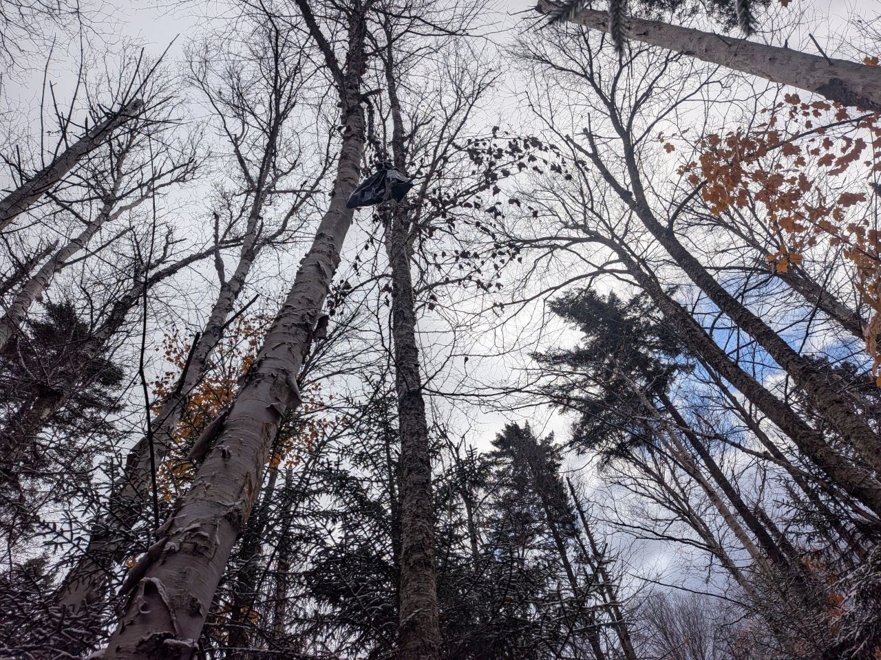
We soon came to the Pillsbury Lake Lean-to. We took the little spur trail down to check it out. On the way down, we found the odd sight of a black trash bag hanging from a tree. It's possible it was a balloon of some kind instead, but we were quite perplexed by it. Had someone used a trash bag as a bear bag and gotten it stuck in a tree? Did some pilot decide to dump their trash out of an airplane? Had a plastic garbage bag gotten caught in the wind, settled here, and filled with water? The mystery persists.
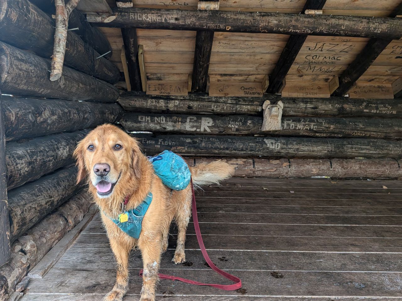
The lean-to is great. It features a cute carving of a bear on the back wall. Sunny wondered if we were sleeping here or what.
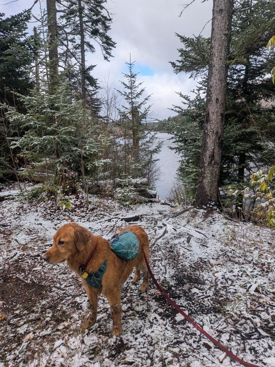
The lake view is pretty, but there are plenty of trees for a wind break which is great. The privy is a thunderbox.
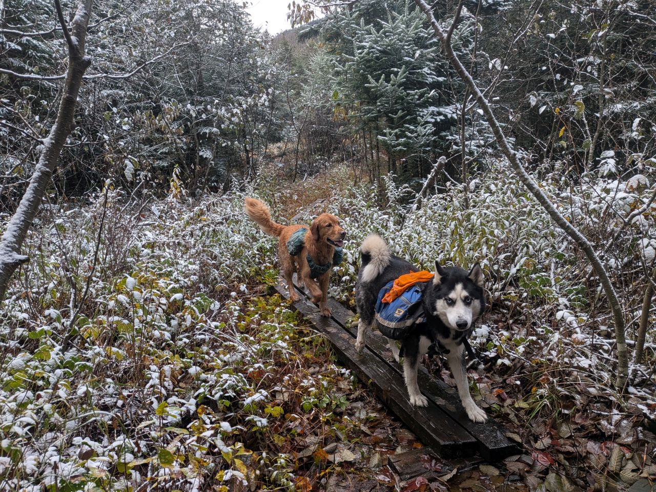
We were soon on our way again, once more hopping from one boardwalk to another. I was still very glad for my trekking poles. My feet remained wet, but with the goretex the wet socks were warm wet socks, so there's that.
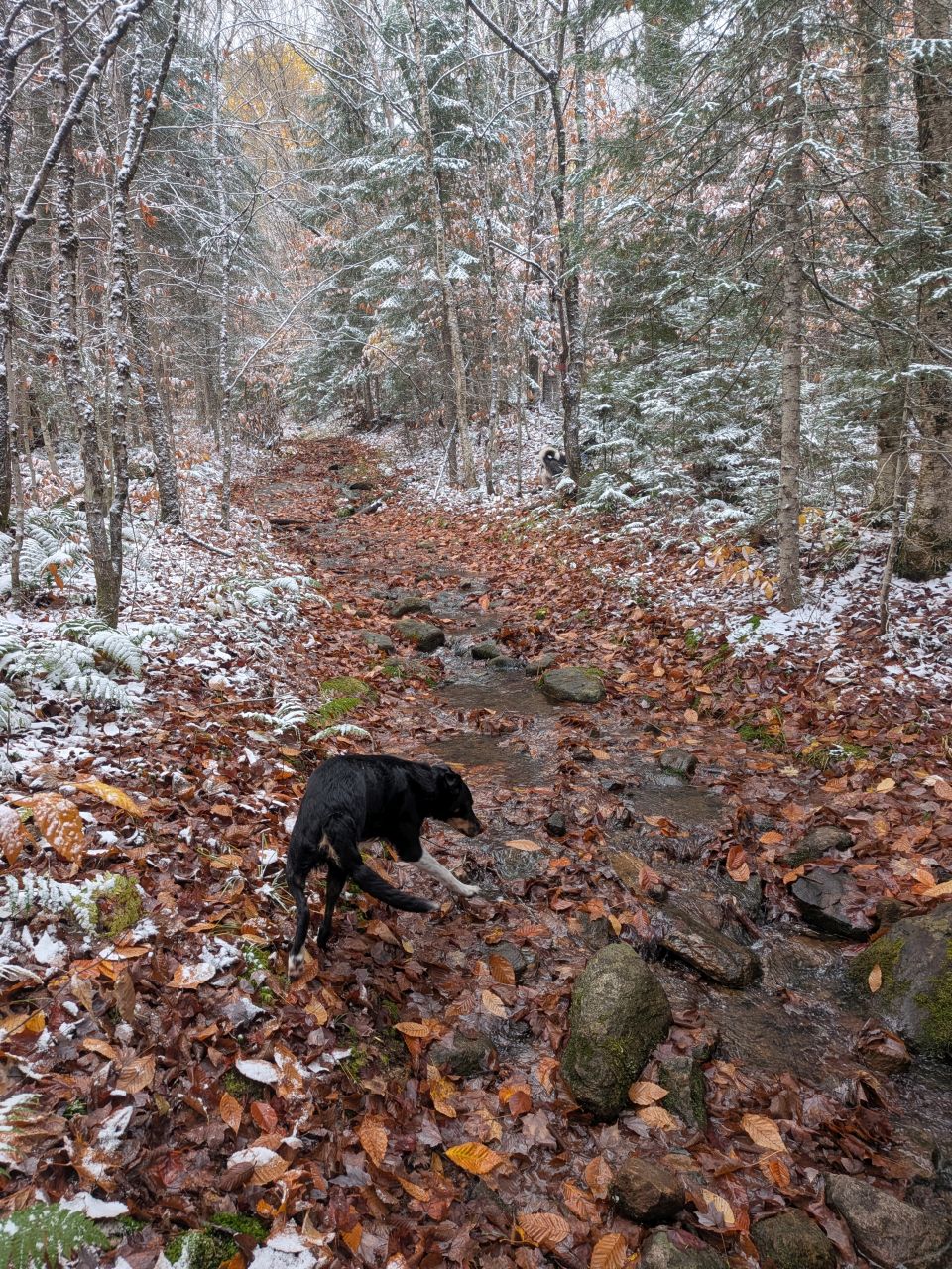
After the lean-to, there are a few herd path spur trails that wander into the center of the wilderness area, connecting to Whitney Lake and Southern Cedar Lakes (Pillsbury Bay). I suspect this is area is more popular with sportsmen and the historic stomping grounds of French Louie. Indeed, after French Louie's time, many semi-permanent logging and hunting camps throughout the region and they were burned to the ground under orders by the DEC many years ago.
Shortly after our hike, Dru told me that there are definitely a bunch of campsites scattered around this area, all connected by a spiderweb of herd paths. He said Lake Whitney is quite the hidden gem if you can make it out there.
We passed these junctions and continued on the main trail which was beginning to climb up to slightly higher ground. The trail was a running stream two or three times along here which didn't surprise me.
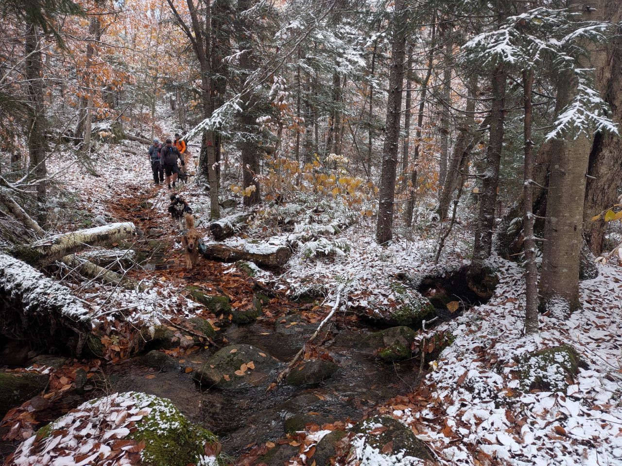
We found a few more pretty crossings along the way.
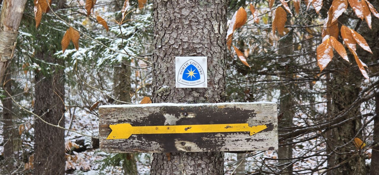
Apparently, the French Louis Trail section of our trip is part of the North Country Scenic Trail which is a 5000-mile collection of trails and roads that runs from North Dakota to Vermont.
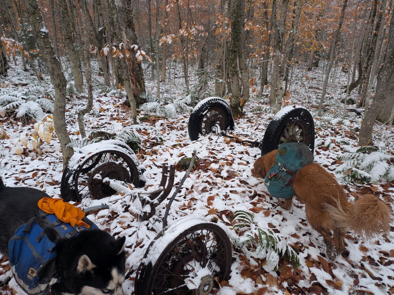
We came across the skeleton of an old wagon as we climbed over the big PUD of the day. The tires were still in oddly good shape. I wondered if that meant they were largely petroleum based rather than rubber. According to the internet, the opposite is true; vulcanized rubber is extremely resistant to the breakdown due to moisture, temperature changes, and exposure to sunlight. Interesting!
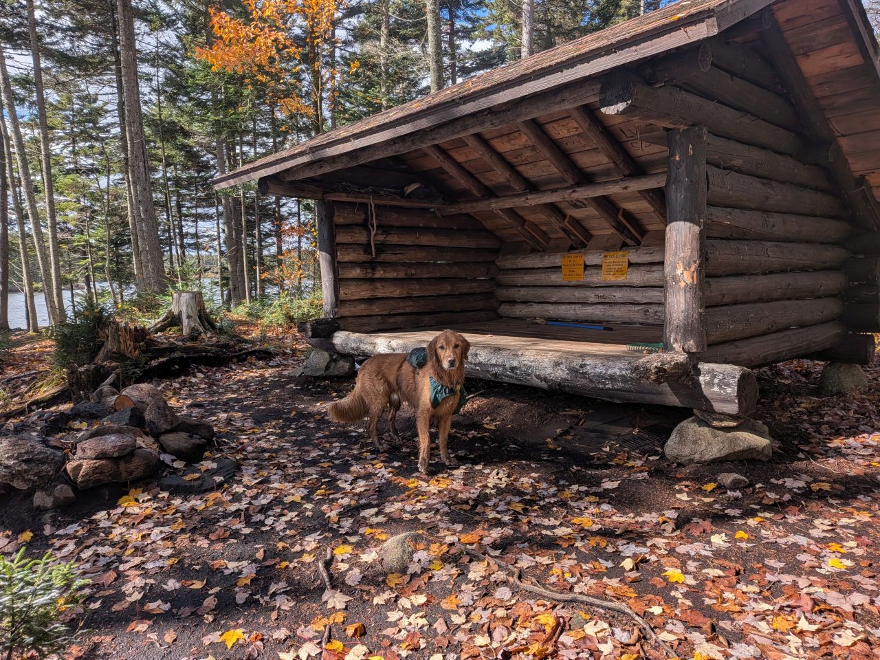
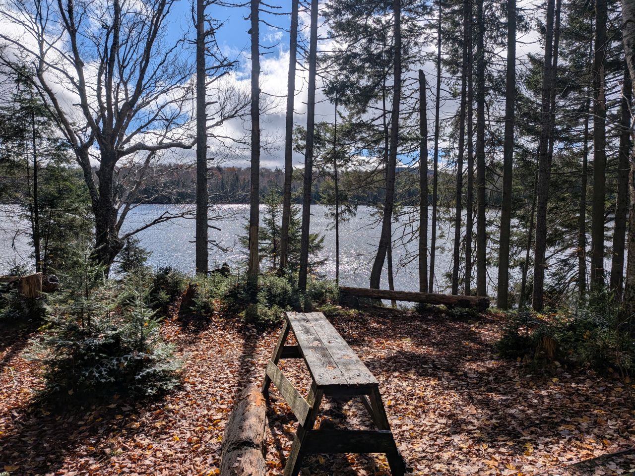
Sampson Lake is situated on the South side of the trail and getting to the lean-to is a bit of a mini-adventure on its own. There are some extant yellow trail markers along the spur, but they are few and far between. Dan W and I managed to wander our way down there to get some photos. It is an incredible lean-to with gorgeous views and amenities. The privy is a thunderbox. Note that the lean-to is largely exposed and would make a better Summer getaway than a Winter basecamp. Still, there was a very large tarp stowed under the lean-to which tells me at least one group probably uses this lean-to in the colder months, perhaps as a hunting basecamp.
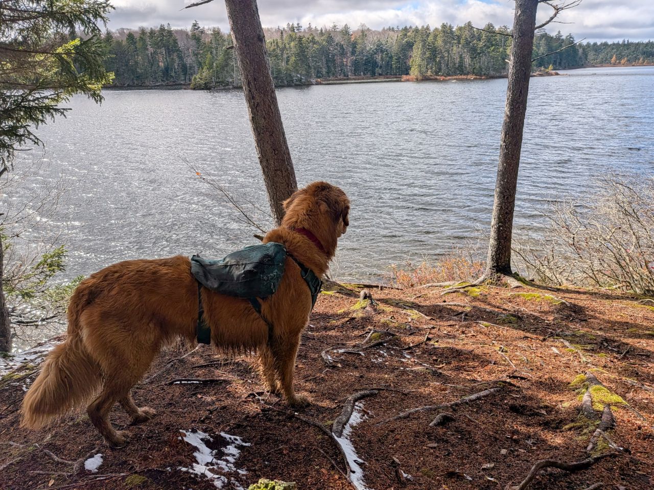
There's a stand of evergreens near the Sampson Lake Lean-to which offers a lovely, sunny place to relax and maybe string up a napping hammock.
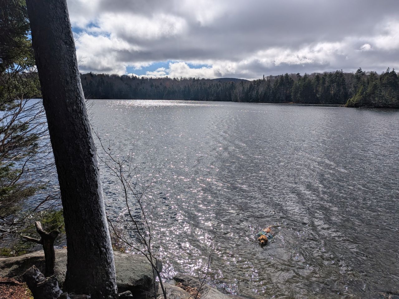
It was 36 degrees and mostly cloudy. Of course Sunny went for a swim. Fortunately, as a water dog, Sunny doesn't really get soaked to the bone. As I stated before, I'm sure to always leave his coat long so that his vapor- and moisture-barrier remains intact in all four seasons. By the time we reached camp later he was no more wet than anyone else.
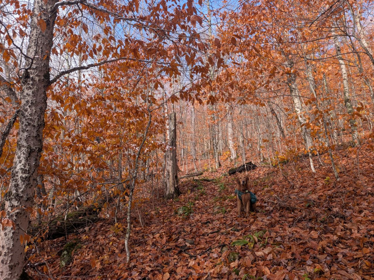
We were soon on our way again. Our group was a bit stretched out at this point and on the section between Sampson Lake and West Canada Creek lean-to, Sunny and I had some private hiking time together. This section traveled over several humps of land, meaning it was much drier than the previous section and I quite liked it despite the constant elevation change. It was quite pretty here, too.
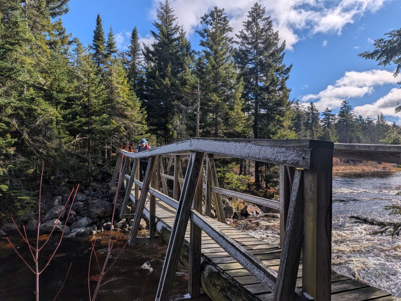
The bridge over West Canada Creek is a little crooked, but sturdy.
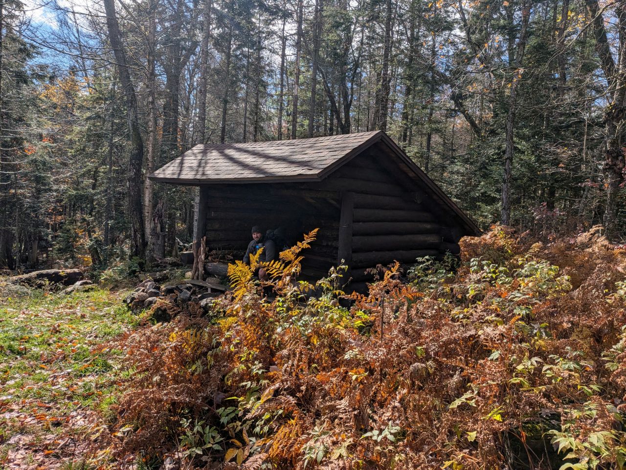
West Canada Creek Lean-to is situated on a hill and right on the trail. Here, John and I declared ourselves "hangry". We were eager to get to camp and have a meal and/or a nap.
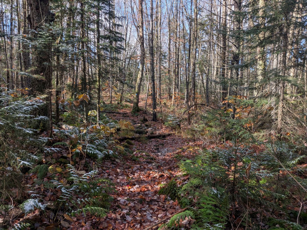
The remainder of the trail that day was forgiving, at least compared to what we'd endured in the 2nd quarter of the hike.
Setting up Camp at South Lake Lean-to
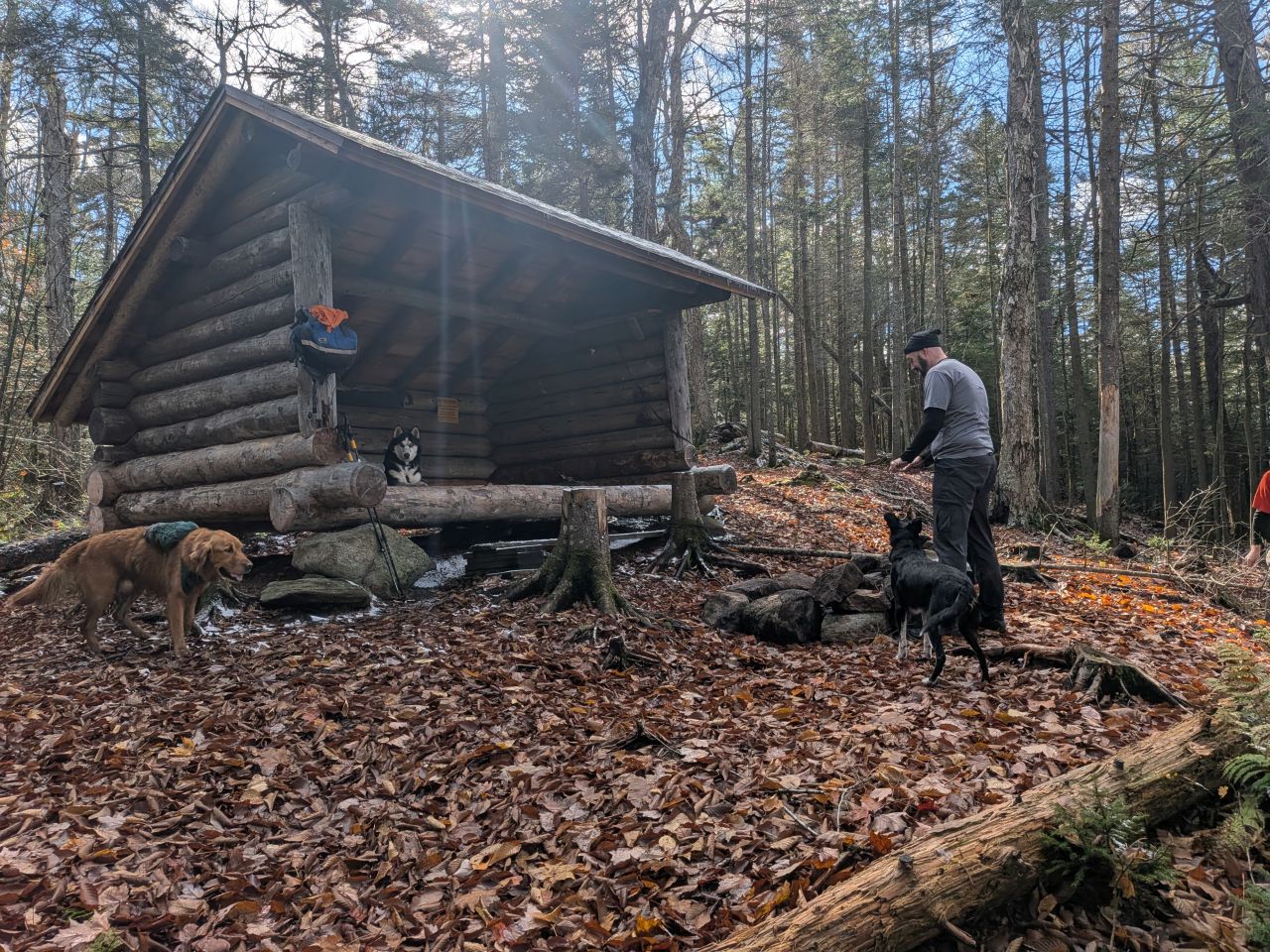
When we arrived at South Lake Lean-to, we found that Mark, Dan H, and Zuko had already gotten a fire going and collected some wood. As promised, I got out my saw and headed into the nearby woods to grab a few dead softwood and hardwood trees to burn. Later, Dan W pushed down one old tree and cut down another dead one. We all took turns taking apart the trees into easy-to-manage pieces.
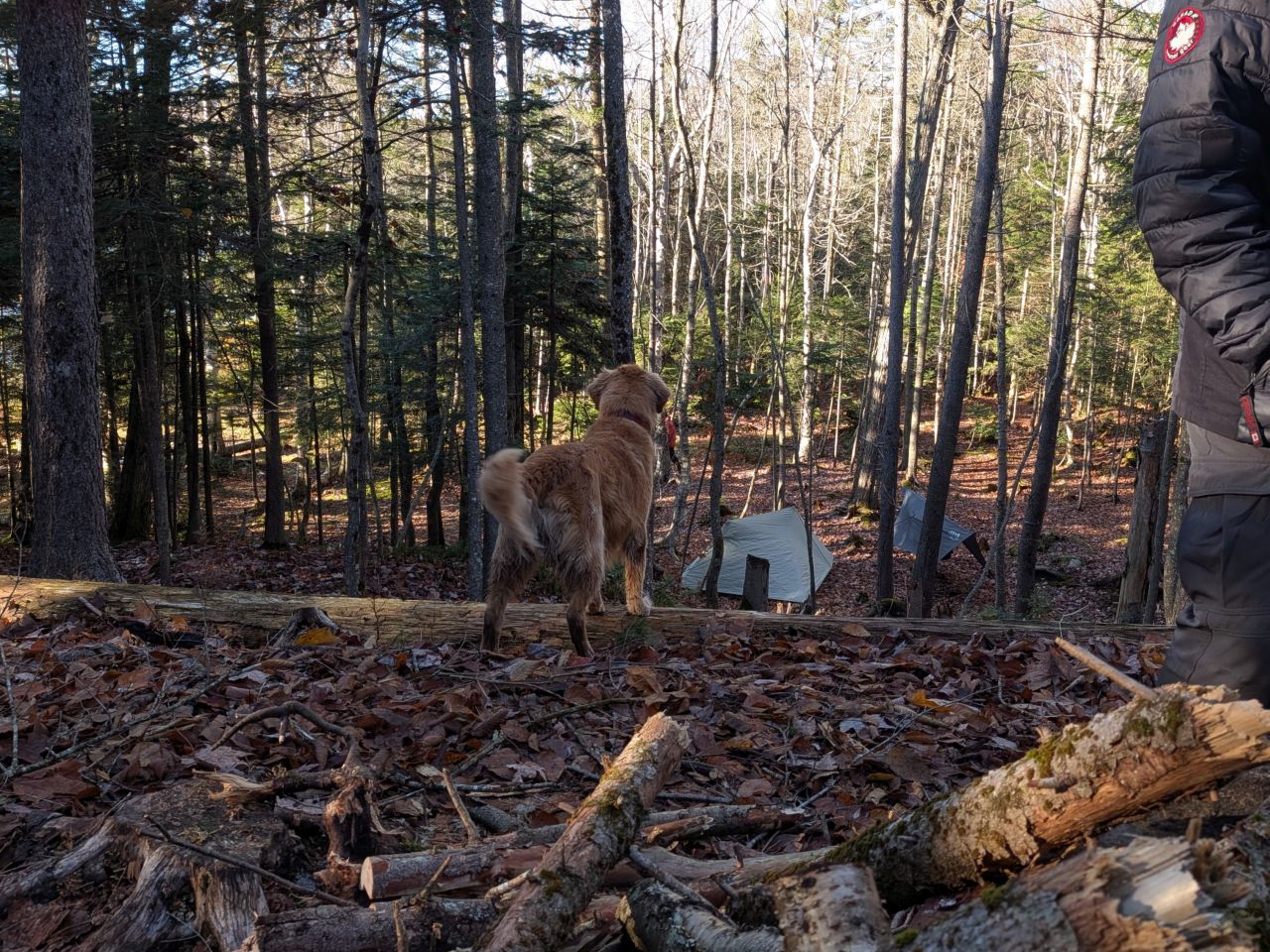
The lean-to had recently been moved from the lakeshore to higher ground. The fireplace at the lean-to was in a spot that Dan H surmised might have been to avoid setting roots on fire, but it was somewhat inconveniently large and we struggled a bit finding places for us to sit. We made it work, though.
Dan H and Mark set up tents down below, not so close to the lake that they'd be chilled to the bone. At first, I thought I'd put up the tent as well. I knew it would be cold tonight and I wanted us to be comfortable. However, fatigue made the decision to just roll out into the lean-to instead.
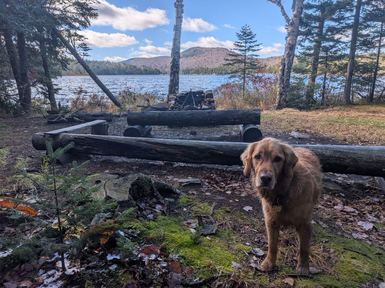
The old lean-to was in a very pretty location and still featured the firepit. Why not?
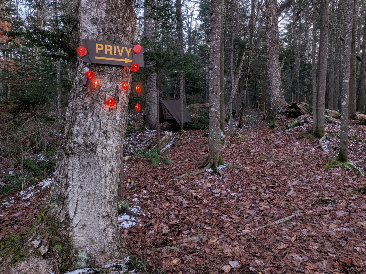
John set up his hammock a bit closer, up on the hill. I strung up some festive lights as usual.
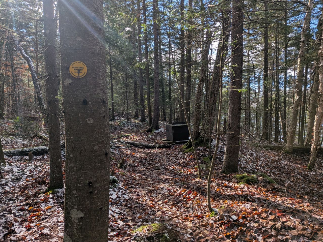
The privy was a thunderbox on top of the ridge overlooking the lake. The view is obscured, but it's pretty nice.
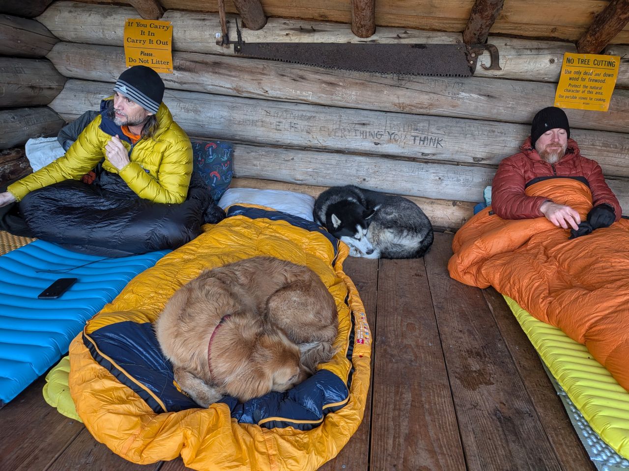
We were all quite ready for some rest & relaxation, especially the pups.
Campfire Time
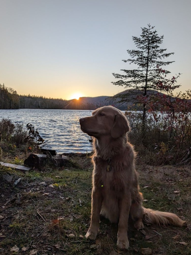
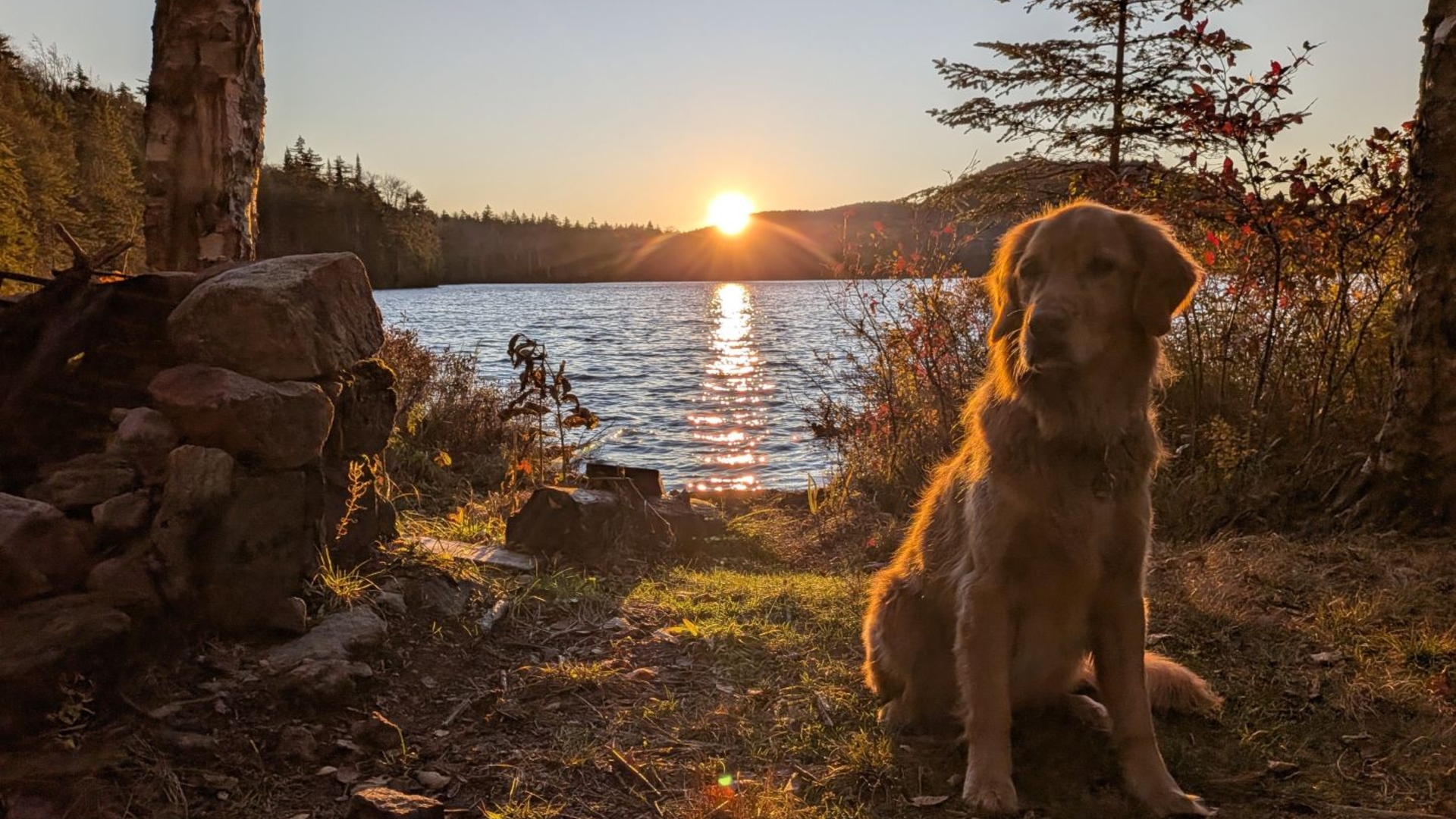
Before I got into comfy mode, I wanted to get a few sunset photos. Sunny obliged to do a few "golden" photos by the lakeside.
Now that we were settled in and had wood cut, I took off my shoes, changed my socks, and put on my Merrell "crocs". I find that this is a lot warmer than just changing socks and putting boots back on. We all dried our shoes and socks by the fire tonight. Sunny had graciously carried a few cans of beer for me which was kind of him. I opened my relax-a-chair, opened a beer, and sat. I was super comfortable and the sitting was glorious.
As we settled in and chatted, enjoying the fire, the constant breeze that had accompanied our camp setup quieted down to about nothing. We were quite glad for that and it made things far more comfortable.
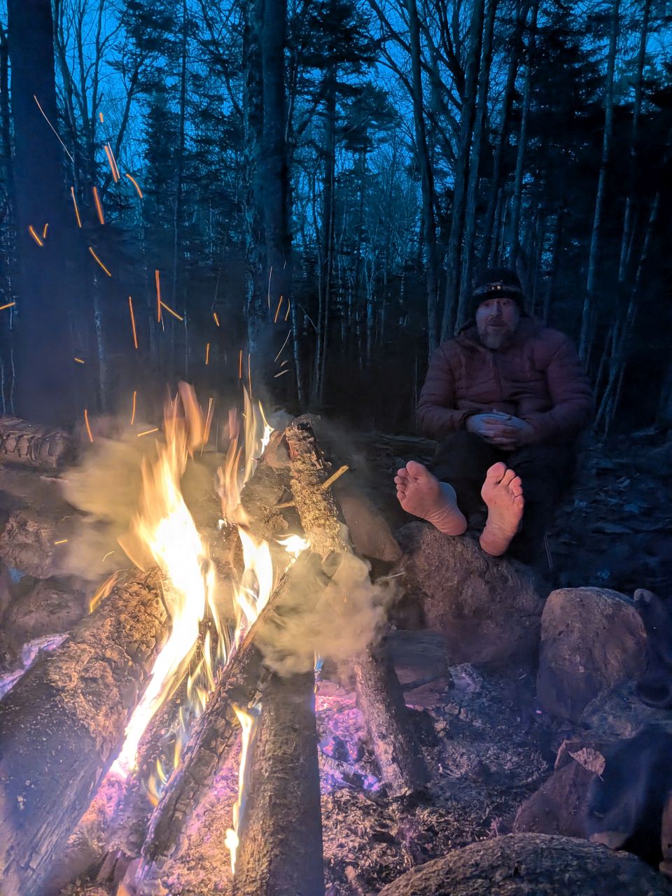
The order of the day was the warming of the feet. I'm sure some of us would have put our feet in the fire if we thought we could get away with it. "Time to pay the daddy tax!"
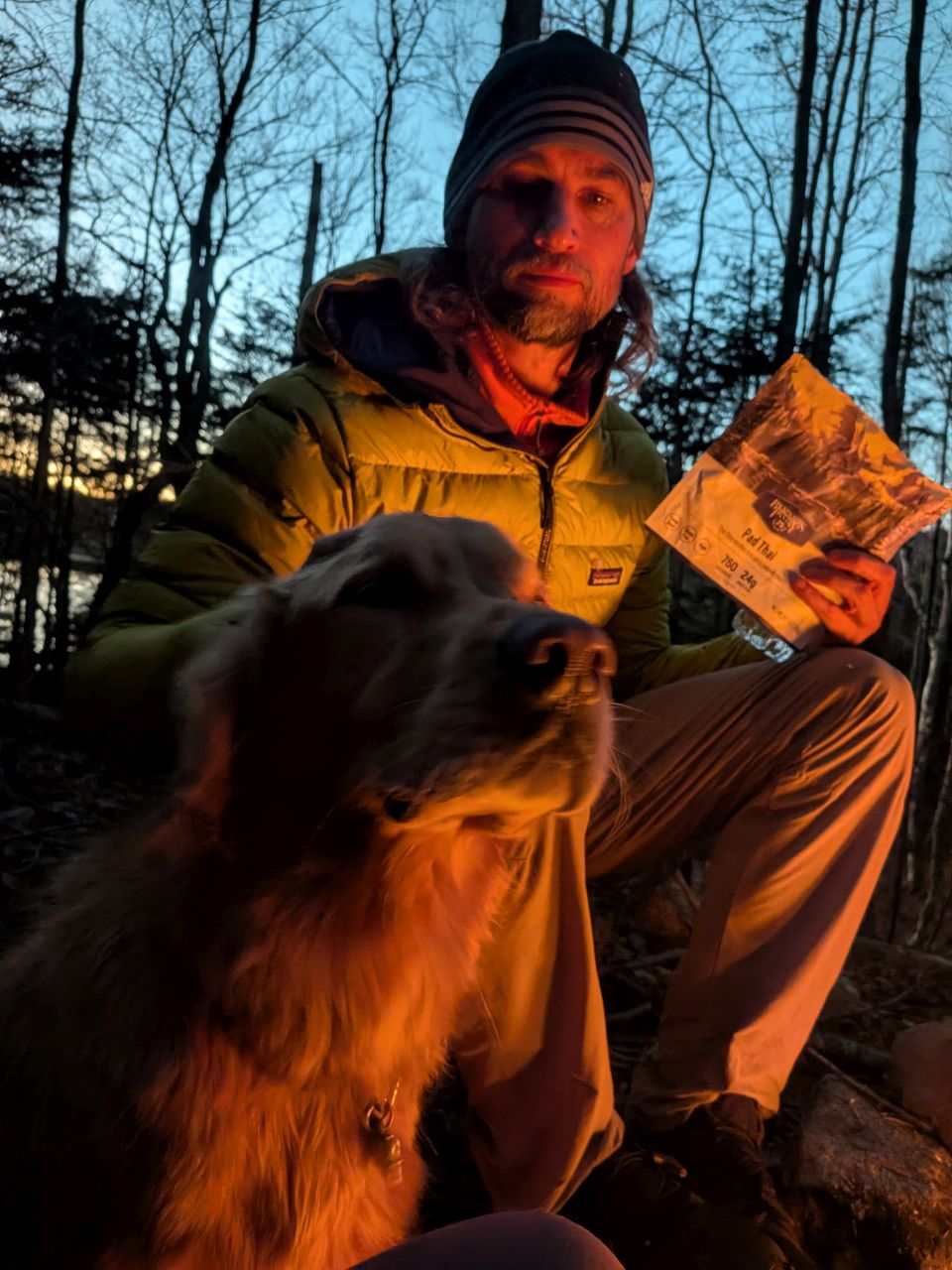
Sunny got a lot of pets this weekend. Here's Dan W doing his duty!
Your job is "throw stick". You must throw stick!
The night was quite cold, as predicted. I'd painted myself into a bit of a predicament. I'd left my 40 degree topper zipped on and left the 20 degree topper loose in case I got too warm or Sunny got too cold. At some point, Sunny did get cold and started shivering. I gave him the topper and he settled down. However, that meant my feet were chilly the rest of the night. I was wearing my puffy, so my core was warm, but I was very uncomfortable managing Sunny and managing my own comfort. If I'd planned correctly, I'd have ensured the 20 degree bag was zipped on with the 40 as an optional addition (as I'd done to great effect in the Winter previously).
More than once I cursed my decision to sleep in the lean-to instead of the tent. As usual, my chief enemy is obstinance. I love sleeping in the open air, but tonight I got very little sleep for no real good reason.
We survived, though, and the next day promised to be, I think, the best of the weekend and one of the best in general.
Read about the whole trip:
Route Map
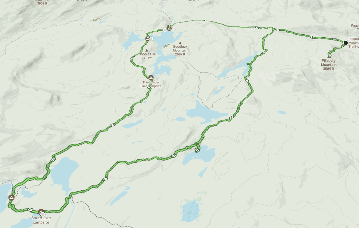
Afternoon_hike_at_French_Louie_Trip.gpx (958.97 KB)