


Sleepy Morning
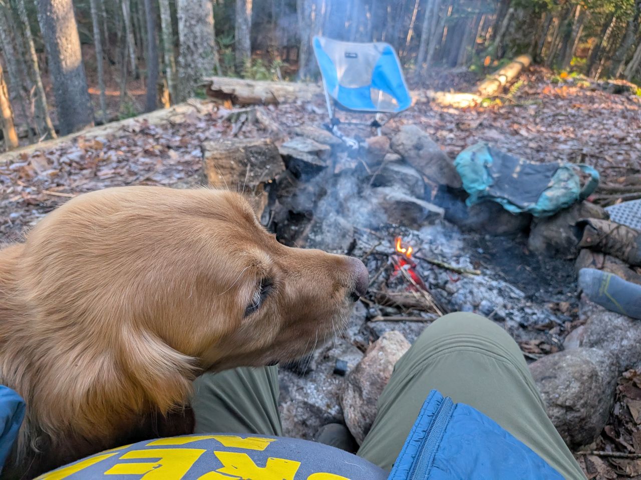
We had some relaxation time before packing up camp. We had seven or so miles ahead of us and the forecast for the day was promising, so we weren't too worried about breaking camp.
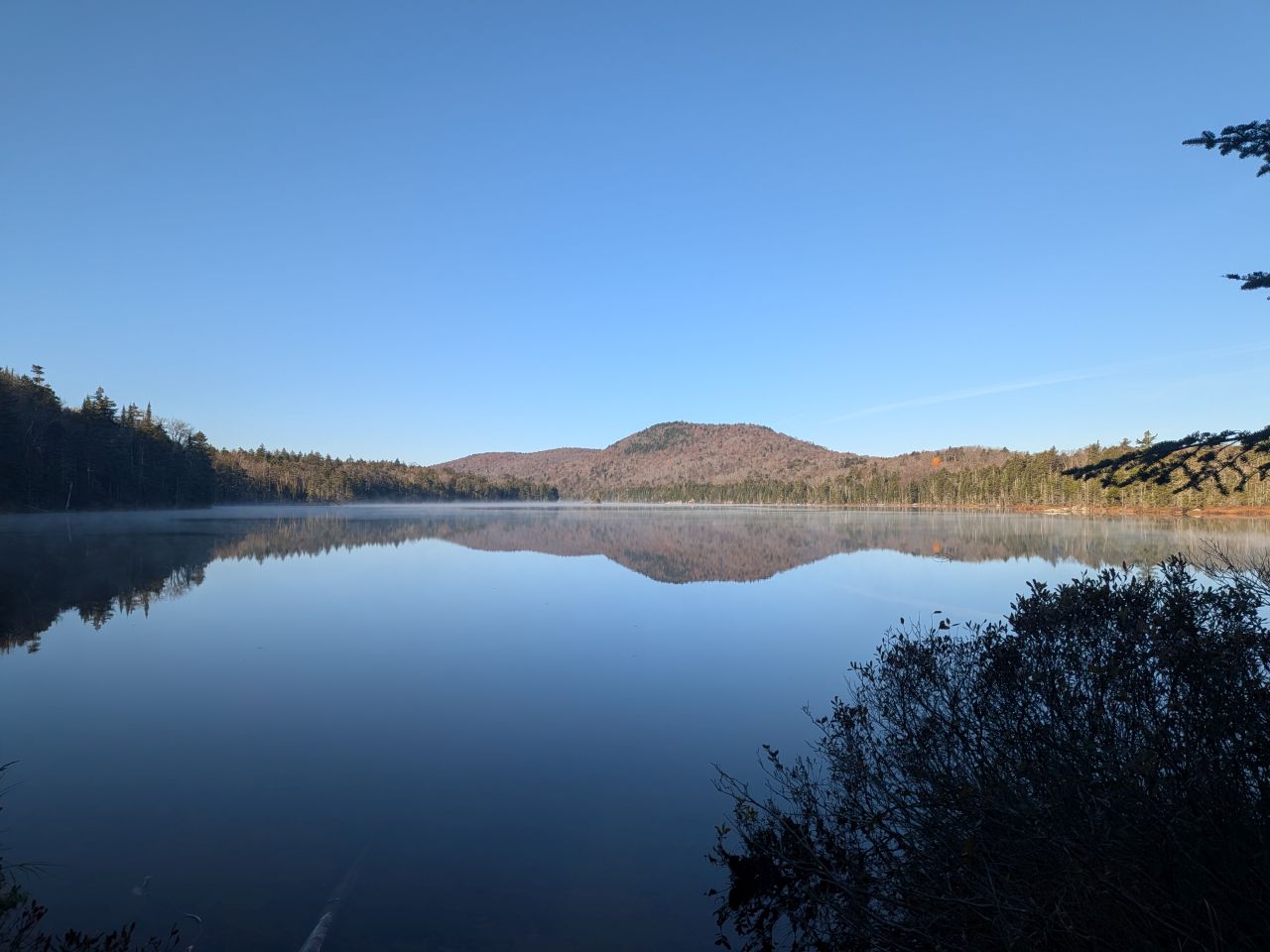
It was a gorgeous, clear morning with mist on the lake under blue skies.
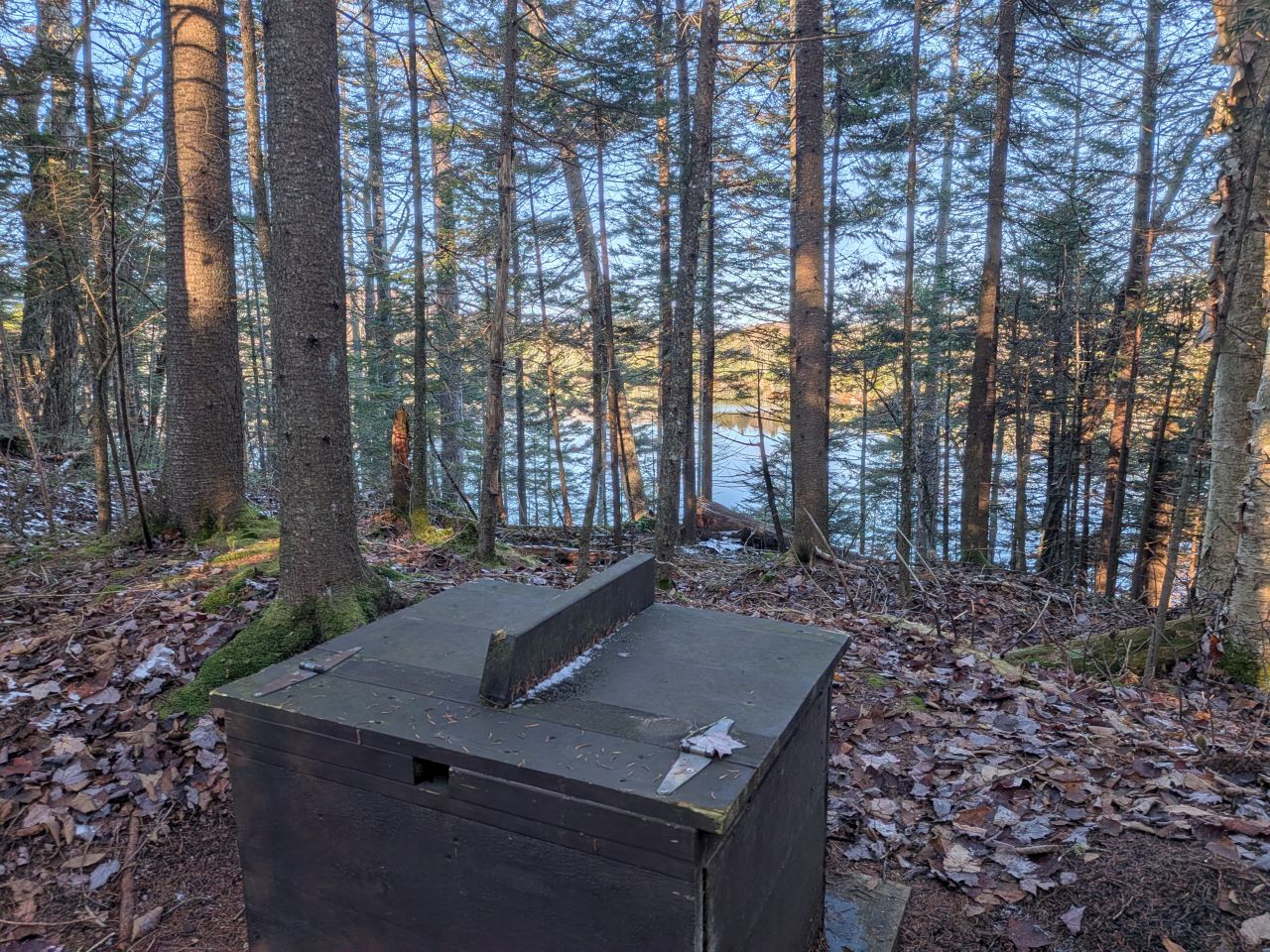
The morning also featured one of the best privy visits in history.
Hiking the NPT
I've never hiked any section of the Northville-Placid Trail before and there are many infamous sections; today we'd be hiking one of them.
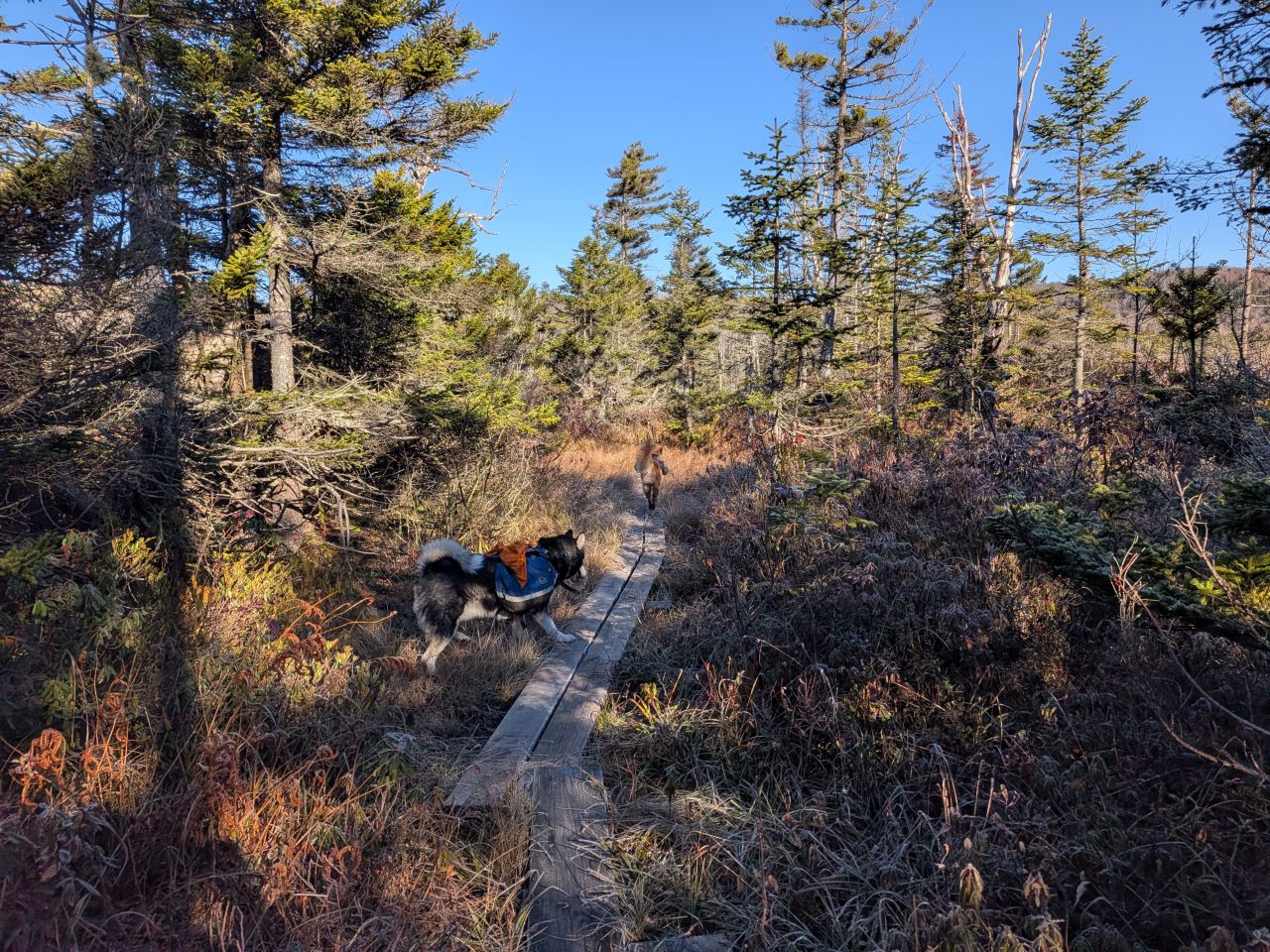
Our day started out crossing a long stretch of lowlands connecting South Lake and Mud Lake offering wide vistas of wet grasslands... or grassy wetlands...? Either way, we crossed a lot of boardwalks.
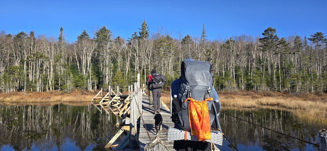
Thanks to Dan for catching this photo of the crew crossing the bridge over the wetlands. There are many photos of this bridge out there, featured even in wall calendars and guide books. The bridge has been repaired in recent years and it was in great shape. Some old photos show the bridge listing to one side or the other. That condition would have been quite problematic today with frost covering everything and making the terrain much more slippery.
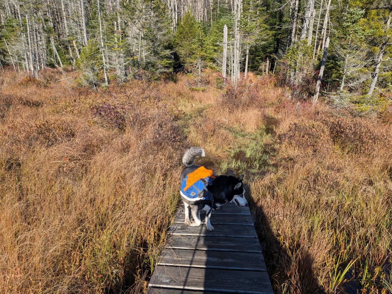
The landing after the bridge, however, is just a pool of water in the grass. I appreciate all the effort that went into fixing the bridge, but some rock work after the bridge would be awesome.
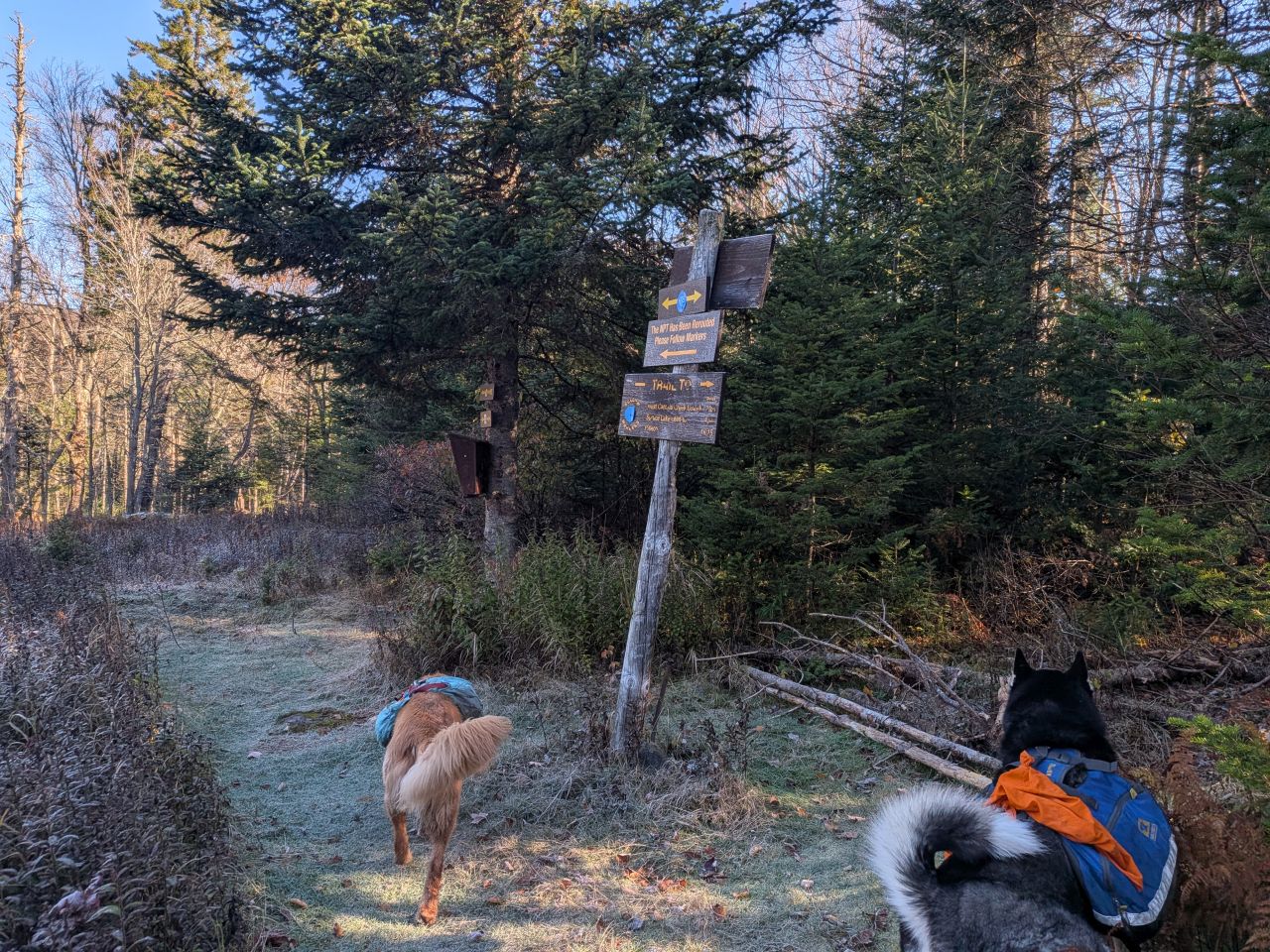
We quickly wandered past West Lake (and West Lake lean-to) and came to a clearing with a bit of ruins in it. Here we found a trail register next to a brush-in for the trail and a marked bypass.
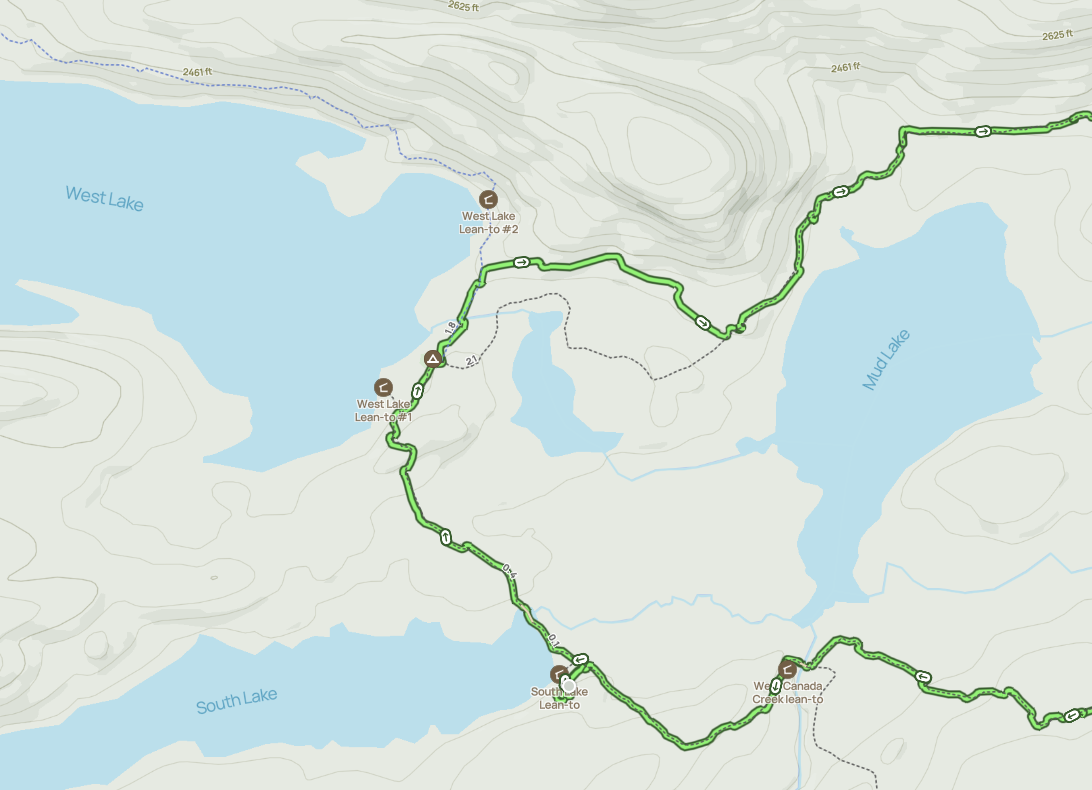
Some of the others had learned that there was a bypass recently cut through this next next section where they'd had a hell of a time crossing on previous journeys. We'd looked at the map last night and wondered if the trail was significantly diverted over some nearby high ground. This turned out to be true. You can tell from the map how the previous trail had passed through the kind of terrain that any seasoned hiker would suspect as being very wet. I guess this had been compounded by beaver activity. The new trail (marked in green by my gpx track) paths over much higher elevation.
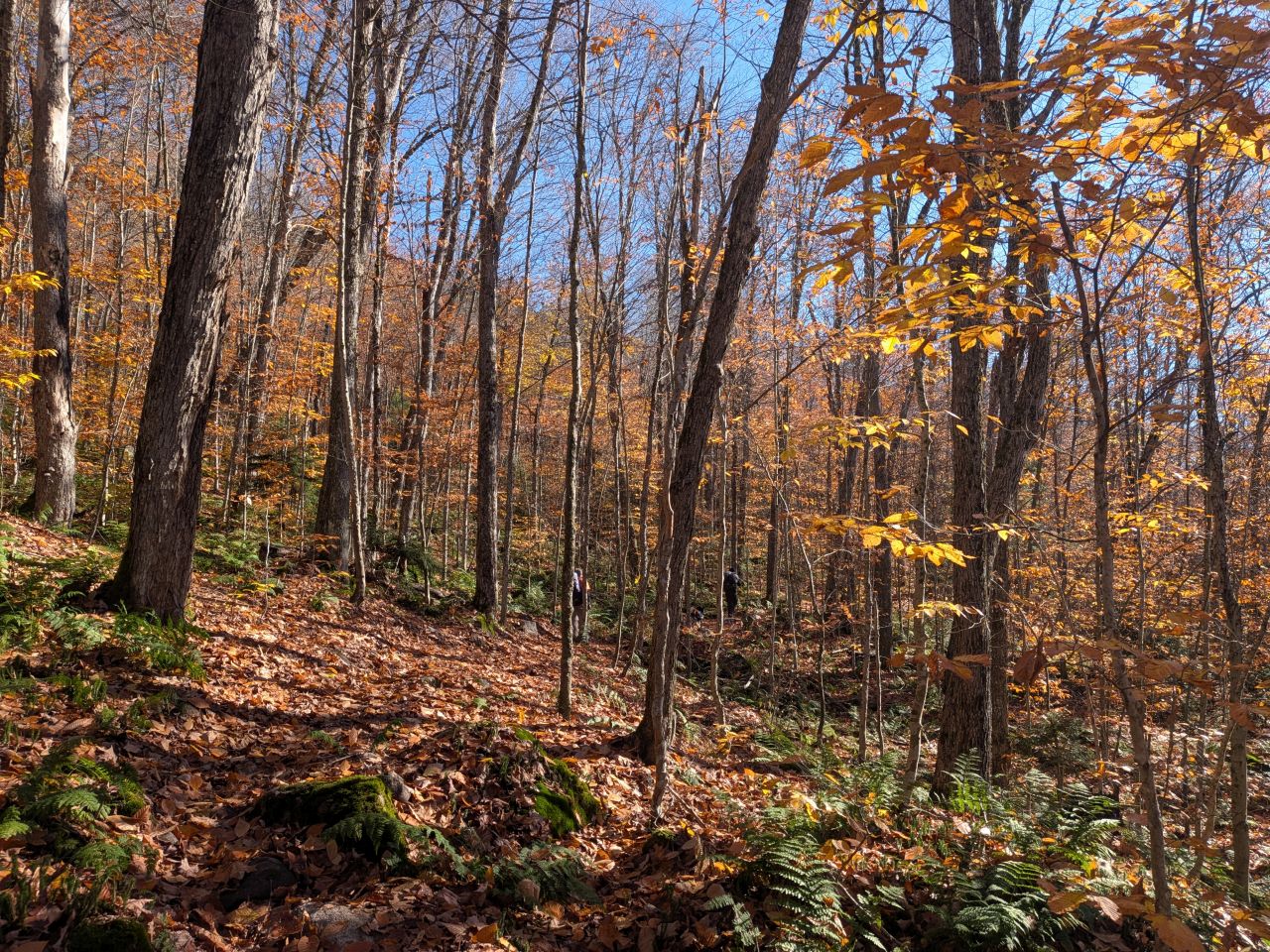
It was beautiful hiking through this new section of the NPT. Although all the vistas in the Adirondacks had turned quite brown and gray, Autumn was still going strong below the canopy. The sun filtering through the branches and the smells were all inviting and nostalgic.
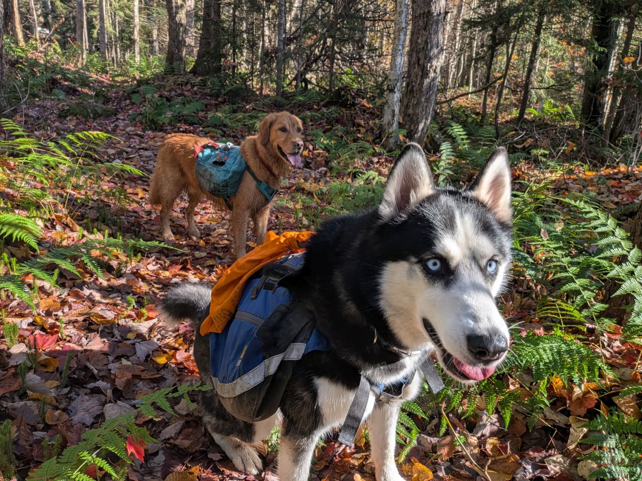
It was easy to see the trail was quite new, but it was still easy to follow. I'm not sure I'd want to do it in the dark, but finding our way wasn't a big deal in the sunlight.
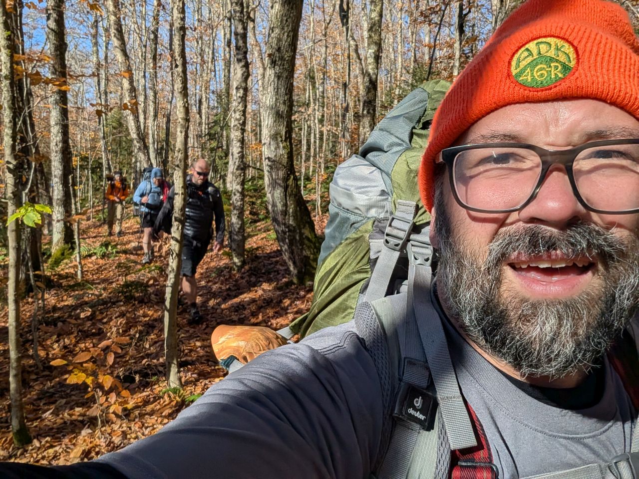
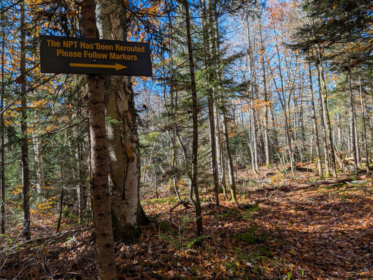
Based on the descriptions by folks experienced with the former trail, I'm guessing that, today, we were flying down the trail by comparison, starting from the trail register at 8:34am and the other end at 8:54, traversing the 0.75 mile in 20 minutes.
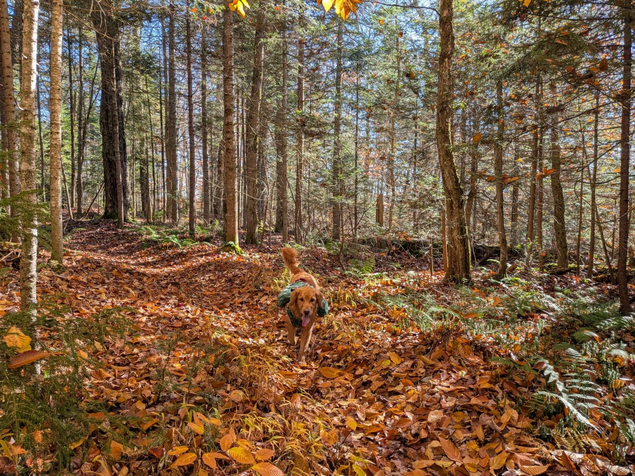
Sunny was having a great day.
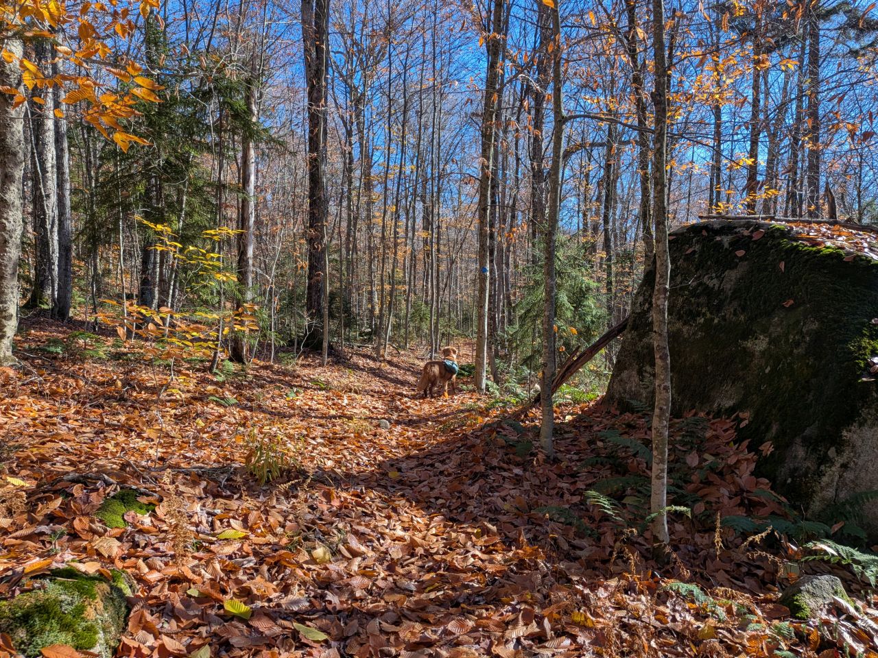
The terrain continued to be beautiful as we passed Mud Lake. The trail was constructed on firm ground above the lake rather than right along the shore which was a nice change of pace.
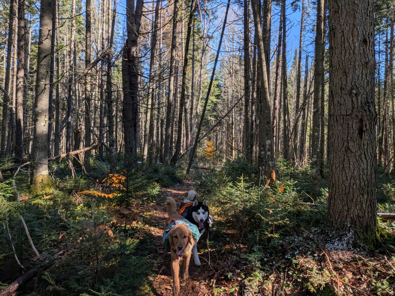
We also enjoyed several stands of open pines, mostly cool and shady despite the bright day. The trail continued to be fast and firm. There were, of course, some muddy spots, which were draining away into the earth as time progressed from the rain two nights previous.
The trail climbed up and over several hills and through some little valleys. The ascents were only made challenging by our heavy packs, but the sun was shining and my spirits were quite high.
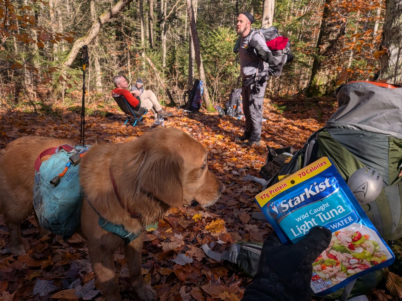
We arrived at the junction to Cedar Lakes Lean-to #3 in drips and drabs. Mark had arrived first and hiked the half mile down to the lean-to. He said it was a great spot and even had a boat! I wondered if trappers and hunters camped here and paddled out to the other side of the pond to access the remote central area of the region.
With the trails spiderwebbing out there, but no designated campsites, I also wondered if there were a lot of unofficial camps over there. Later, Dru told me that there were, indeed several stealth camps and loads of herd paths in the Whitney Lake/Pillsbury Bay area.
At any rate, we stopped here on the trail for lunch. It was also near here where we crossed our first real blowdown. We also met our first group other than ourselves: a group of three or four trail runners, apparently trail running the NPT. Wow. I love that for them.
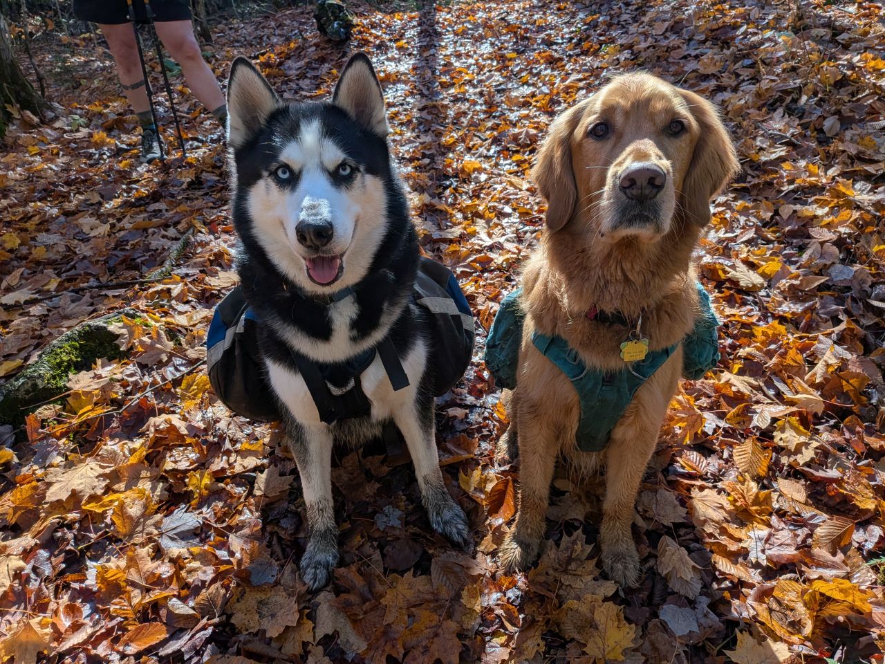
Snacks?
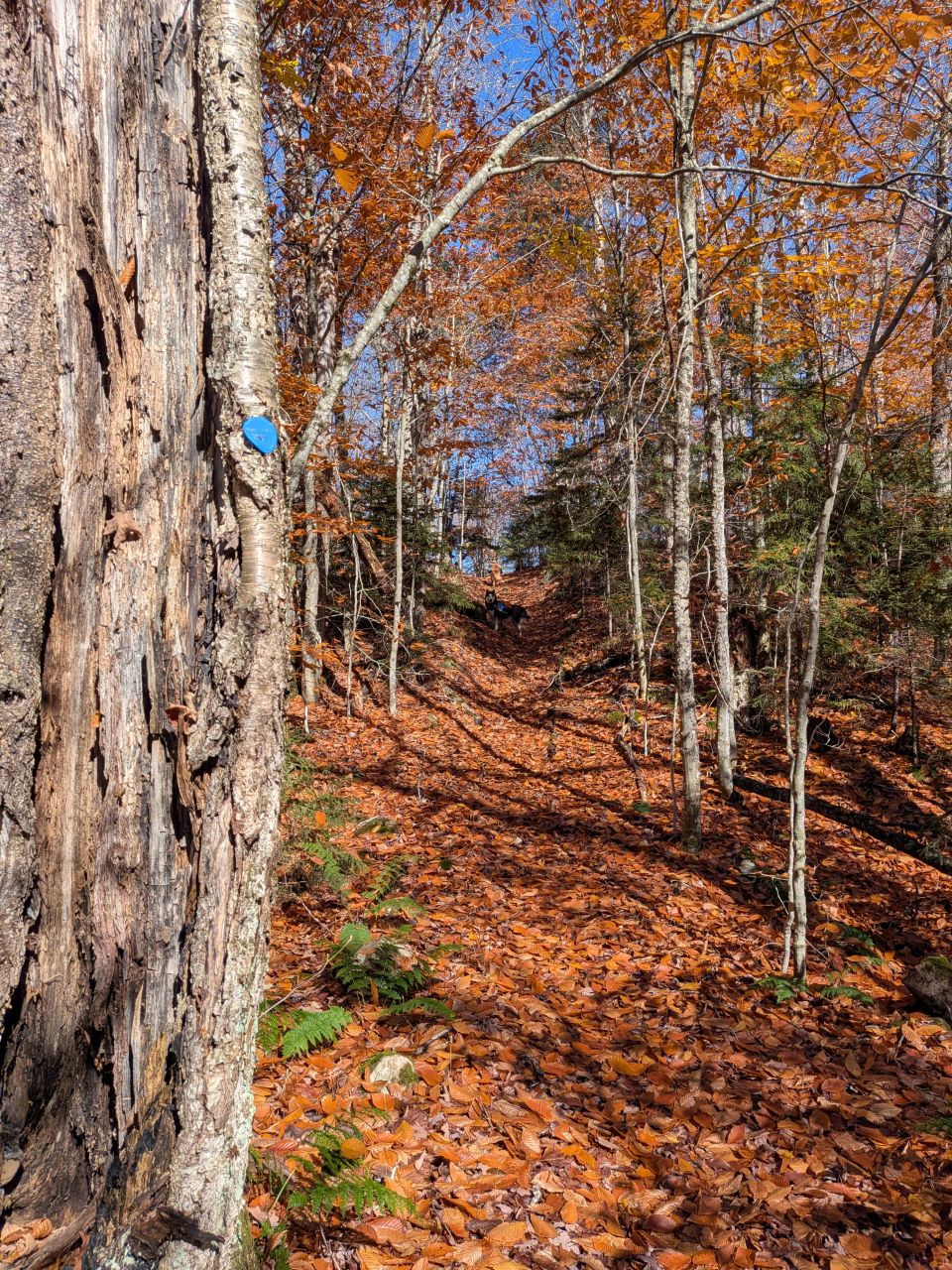
After lunch, the big effort of the day was climbing over "Cobble Hill". The West side was mostly pine with the summit and the descent mostly hardwoods. It was a challenging but quite beautiful, easily my favorite part of the hike.
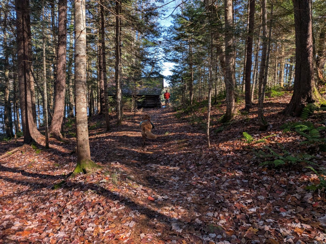
Immediately after climbing over Cobble Hill, the trail leads past a point on Cedar Lakes where Lean-to #2 is situated. Here, we had a packs-off recharge and enjoyed the lovely views. This seemed like a really great spot for a backpacking trip and some of the fellas had stayed here previously. There were lots of pieces of thunderbox all over and the existing one had two seat-holes for some reason. The exposure of the lean-to on the point did make me wonder if this was a better Summer spot than Winter spot, but it faced Northeast and was protected on the South side by a rise in the terrain so I couldn't really be sure.
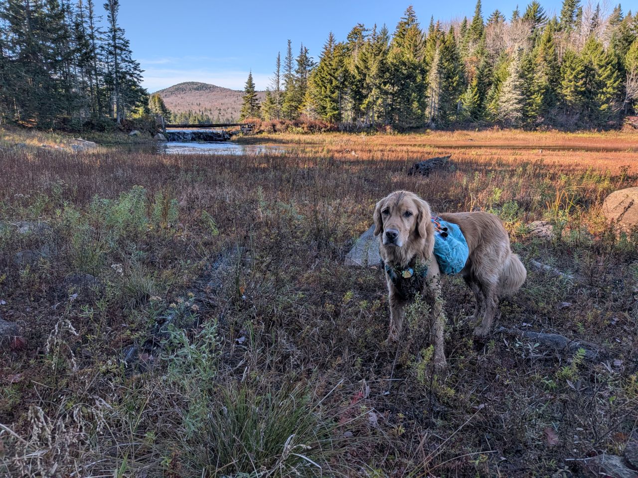
The lakeshore was a wide, gravely flood plain, but it was fairly dry when Sunny and I went to investigate. It was warm and inviting even in the afternoon shade.
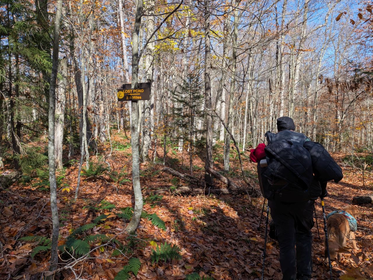
We were keen to be on our way, however. We passed a spur trail that would lead to one of the many "Lost Ponds" in the Adirondacks. The maps also showed some logging trails over that way. Mark and I'd hoped to explore a bit, but we never got around to it.
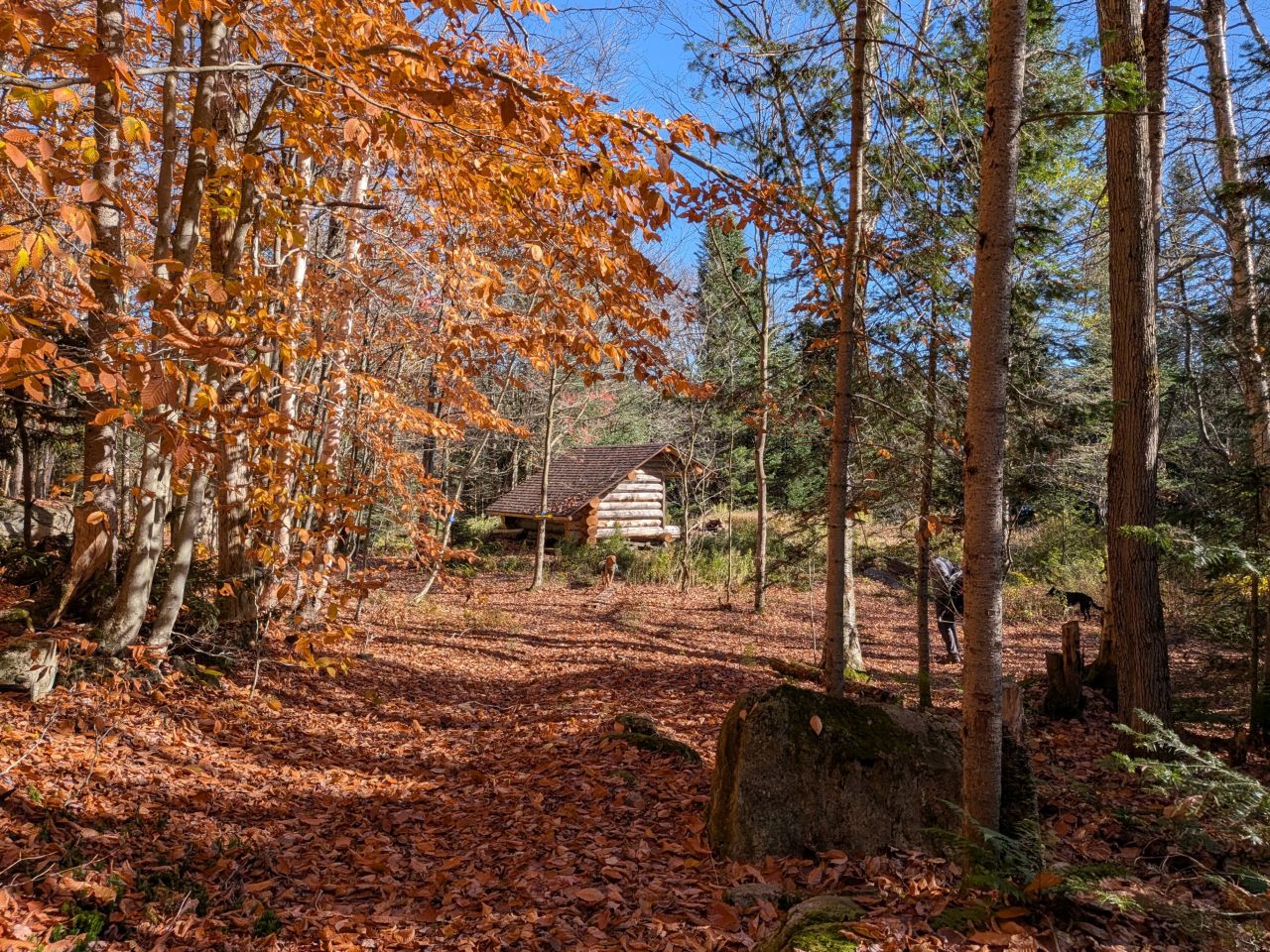
We arrived at Cedar Lakes Lean-to just before 1pm. Again, Mark and Dan H had already started on the fire when we got there.
Camping at Cedar Lakes Lean-to #1
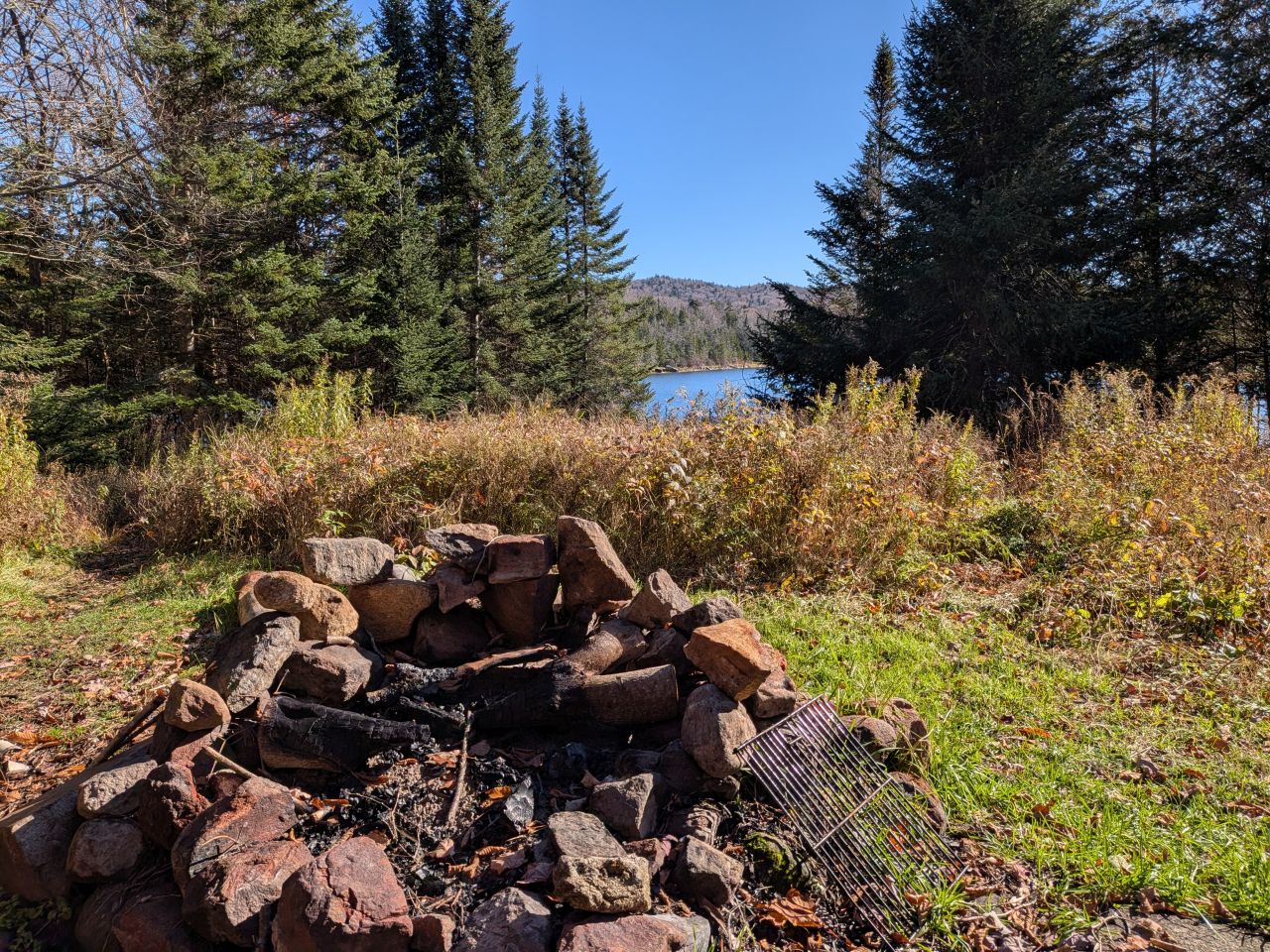
The lean-to was situated close to the lake which had clean water for filtering. Despite it's proximity to the water, the area enjoyed a decent wind break. The fire pit was great as well and had enough rocks to reflect heat. We didn't really need to collect much wood today as there was already a lot of firewood available at the lean-to. Still, everybody pitched in sawing stuff as needed.
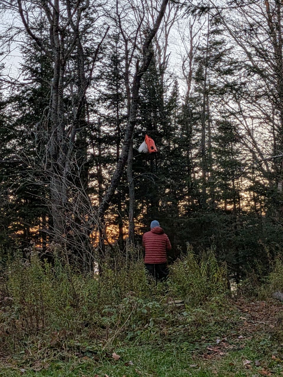
The guys instructed me on the use of the bear bag and we got our bags strung up. Not wanting a repeat of the night previous, I decided to put up my tent. Jay helped me out with this. Every time I erect the tent, I get very frustrated because I forget how the tension lines work and I can't wrap my head around it.
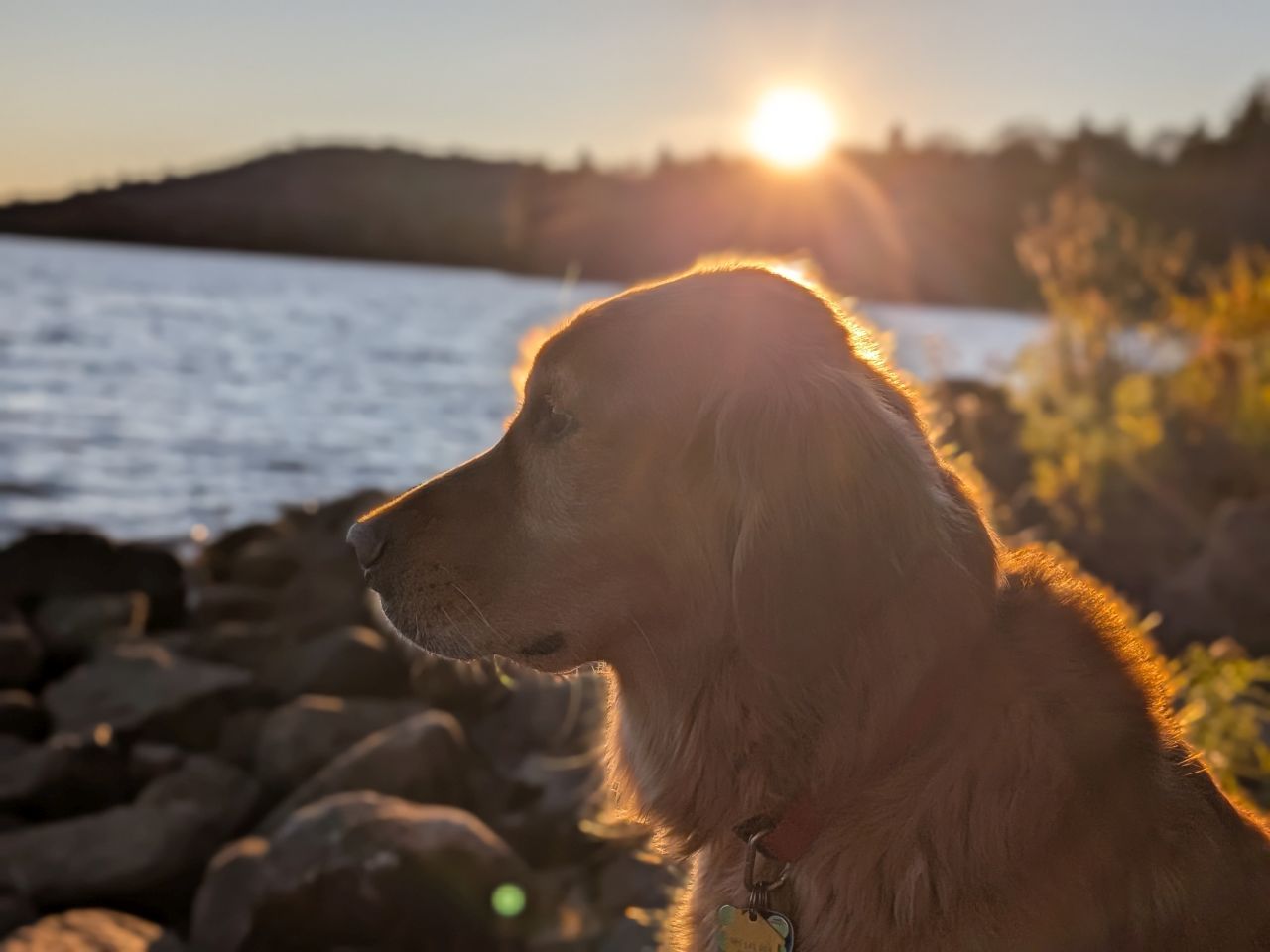
We had another beautiful sunset tonight.
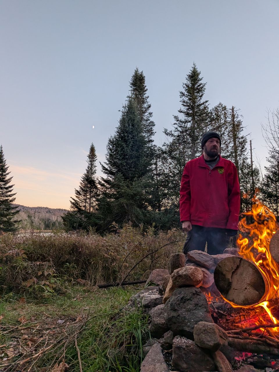
Not only did we enjoy the sunset, but the lazy progress of the moon and stars throughout the night. One of the great joys of backpacking is waking up to pee at 1am and looking at the stars.
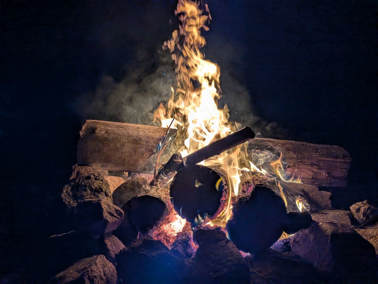
Dan H shared his whiskey with me and Dan W shared his vodka with me (mixed with a hydration packet and water of course) and we all shared some laughs. The cool night and hot fire were just about perfect. I honestly just didn't want to go to bed.
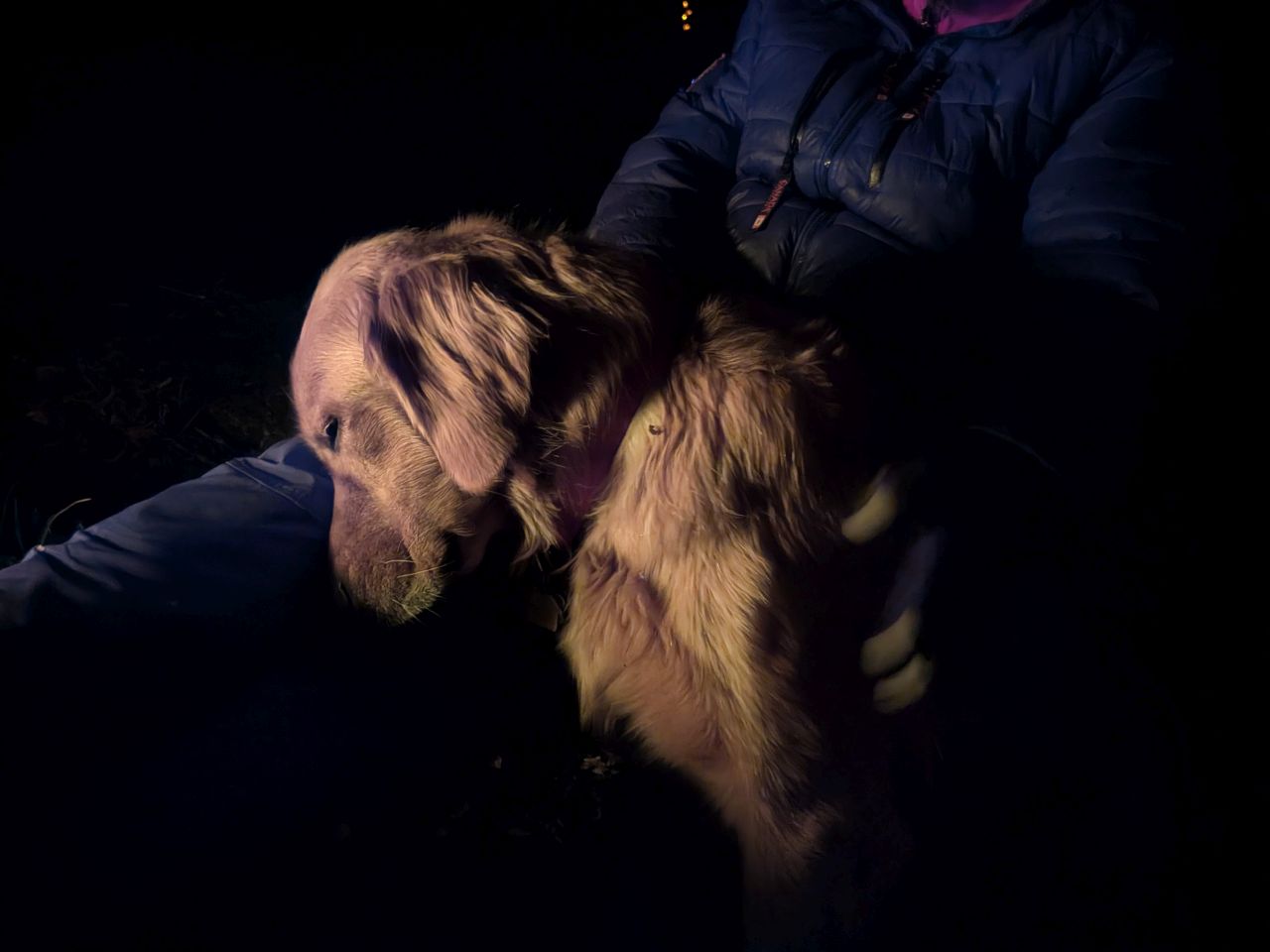
Mark put Sunny to sleep standing up.
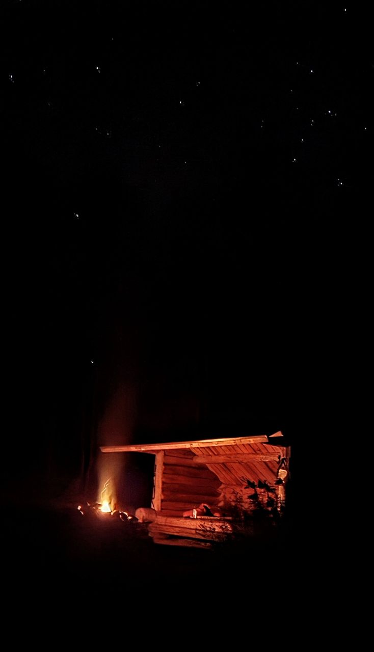
Jay caught this awesome photo of the starry night above the lean-to basked in golden light and that about sums up the evening.
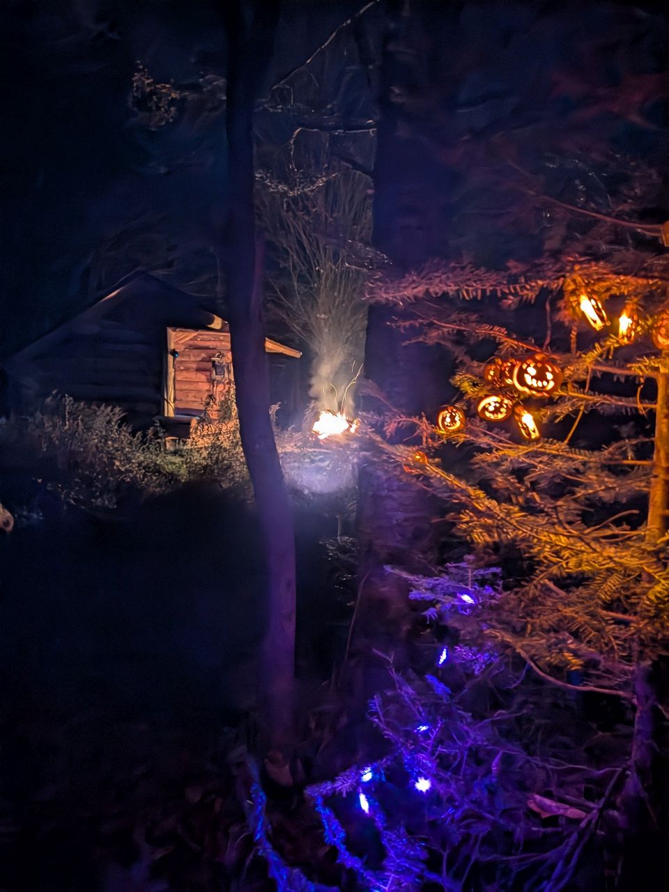
It was soon bed time. Dan W kept the fire going all night and by all accounts, the lean-to was cozy. I was a little jealous as I went to bed, but in the end, I think sleeping in the tent had been the right call.
Read about the whole trip:
Route Map
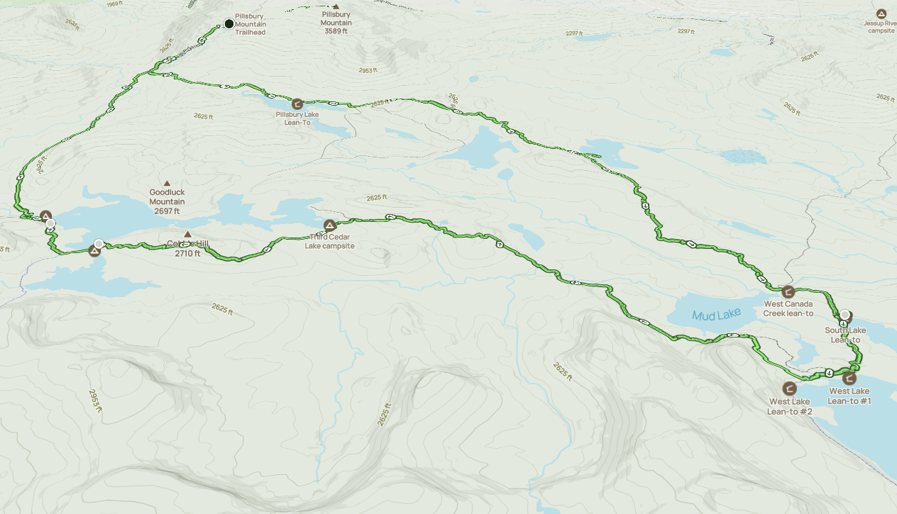
Afternoon_hike_at_French_Louie_Trip_0.gpx (958.97 KB)