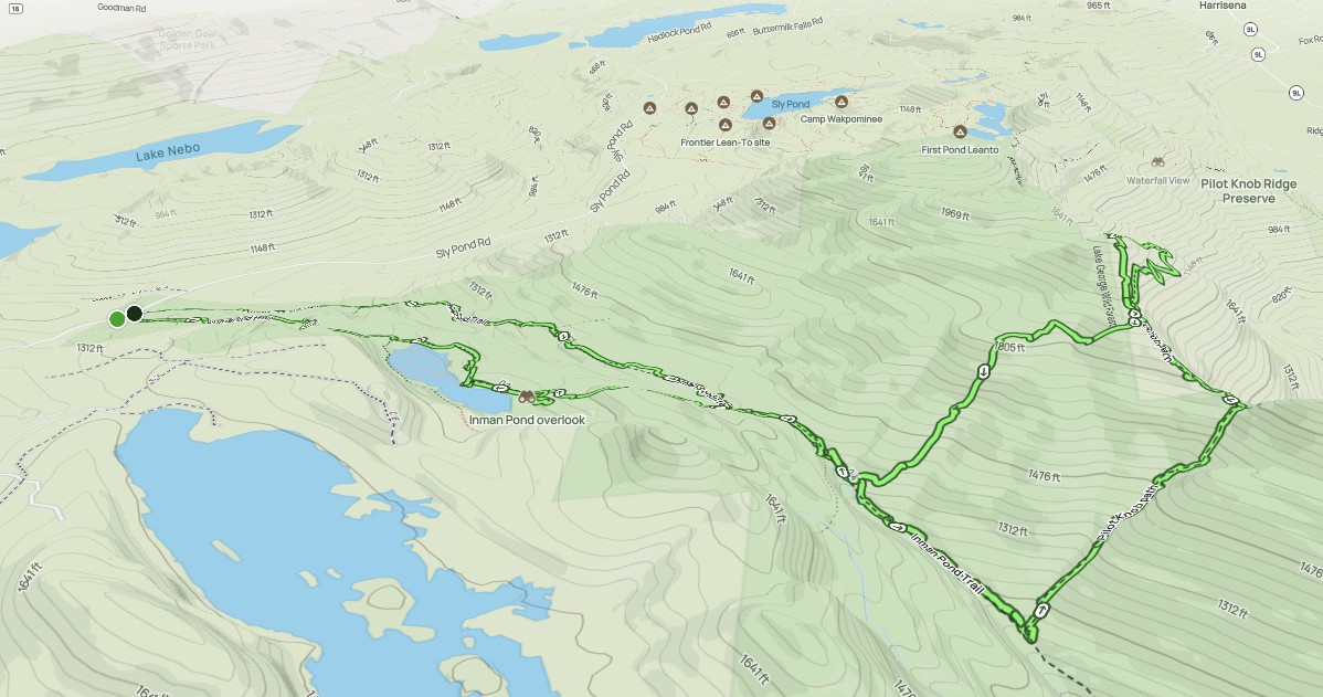
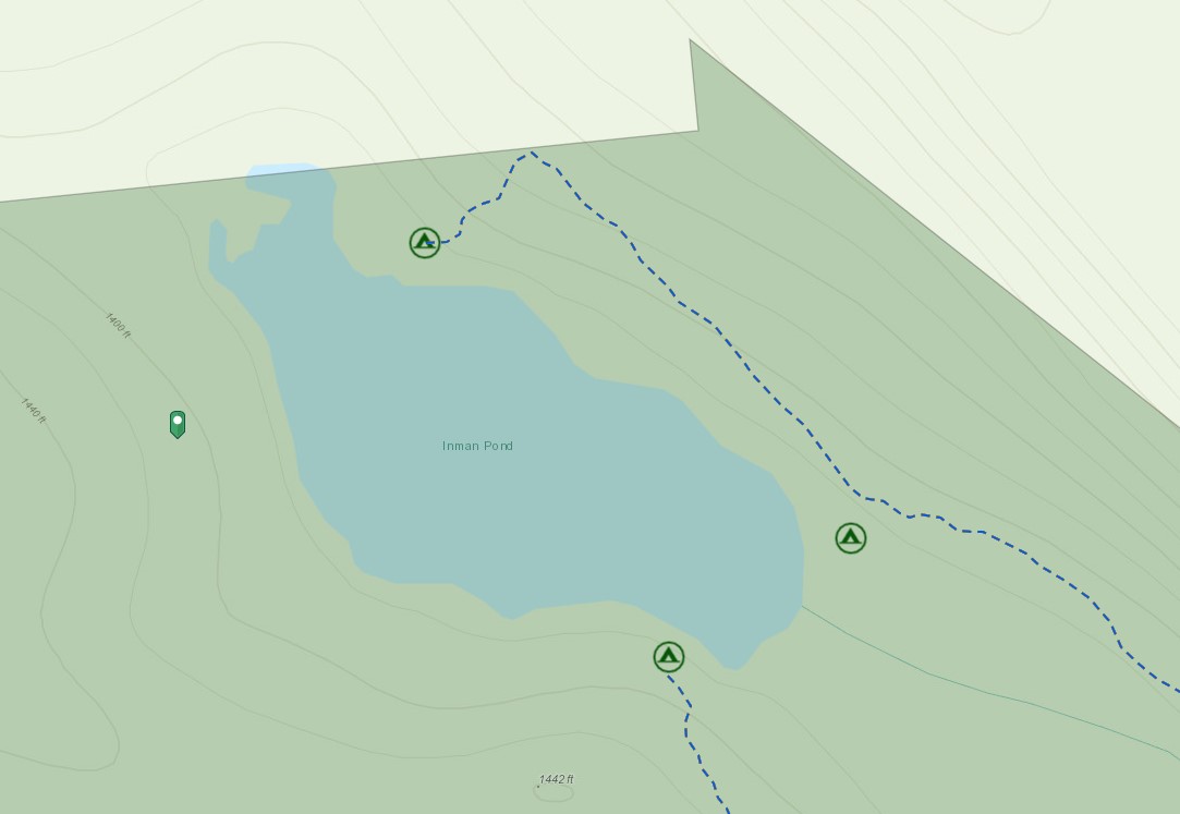
Inman Pond Trail

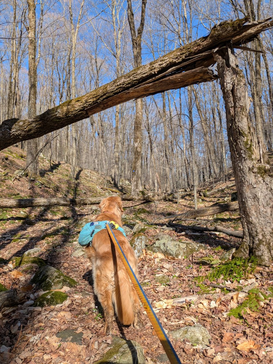
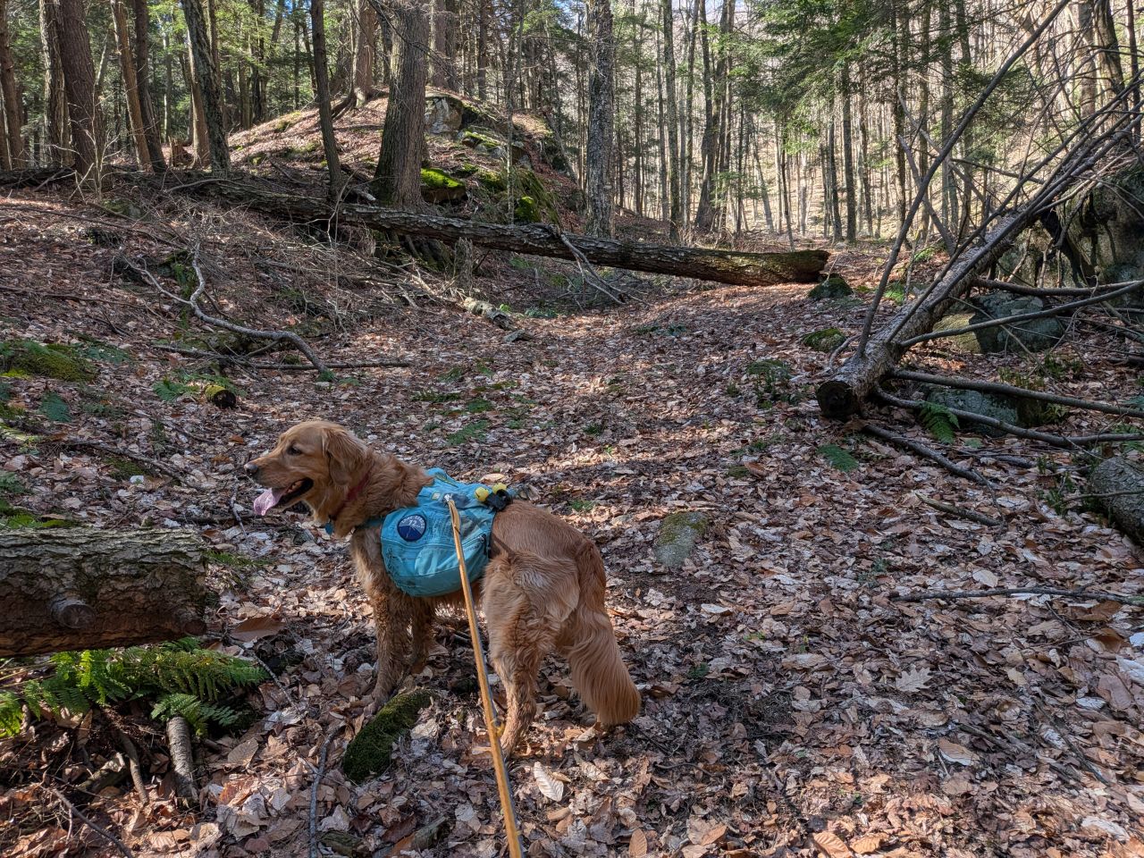
We arrived at the spacious Inman Pond Trailhead at 8:20am. The sun was shining and the temps were in the mid-50s with 70s forecasted in the afternoon. We were both quite excited to get a move on. The plan was to hike out to a known herd path which leads up the back (East) side of Pilot Knob to the true summit. Targets of opportunity were the plane wreckage, the ridge view, a climbing wall, and Inman Pond.
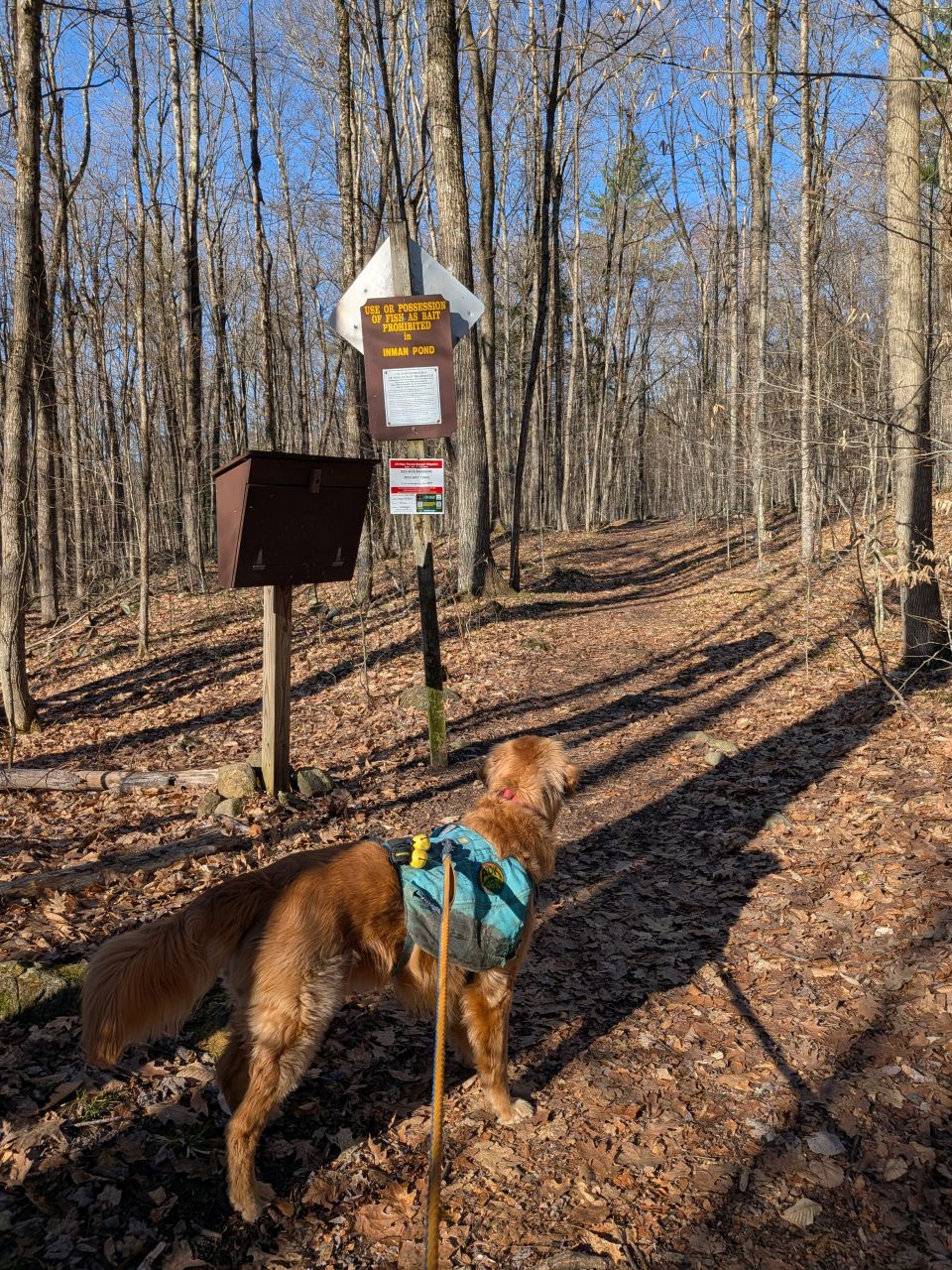
There are two trails from the trailhead; the marked Inman Pond Trail that leads all the way to the Buck Mt. Trailhead and an unmarked trail that leads directly to Inman Pond. Since we were heading to the mountain first, we started on the marked trail.
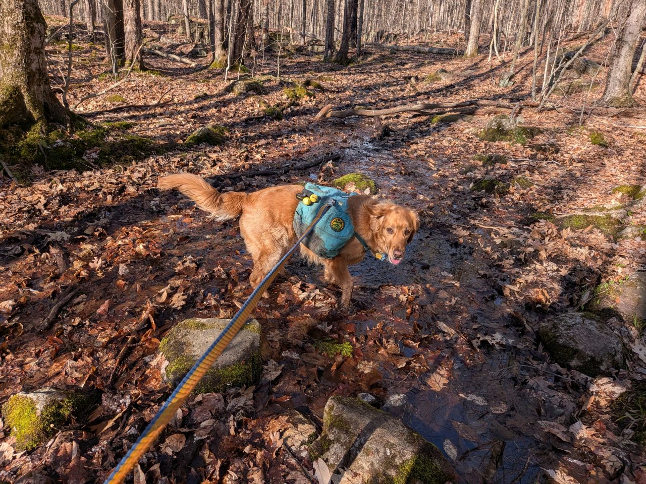
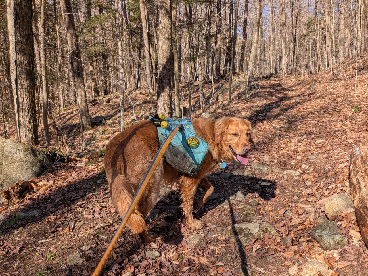
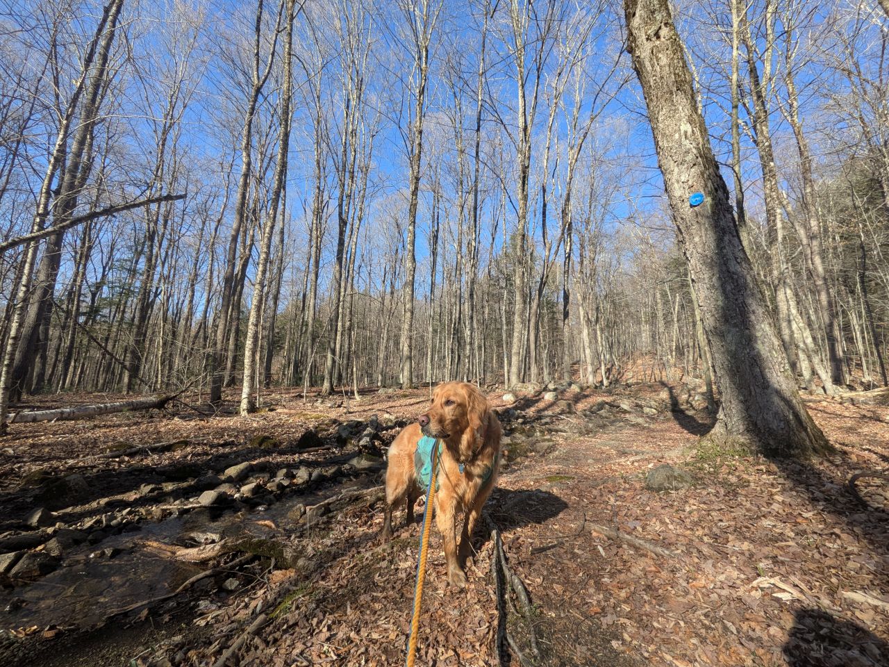
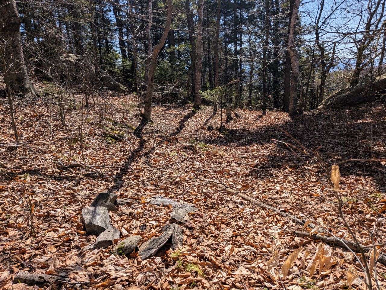
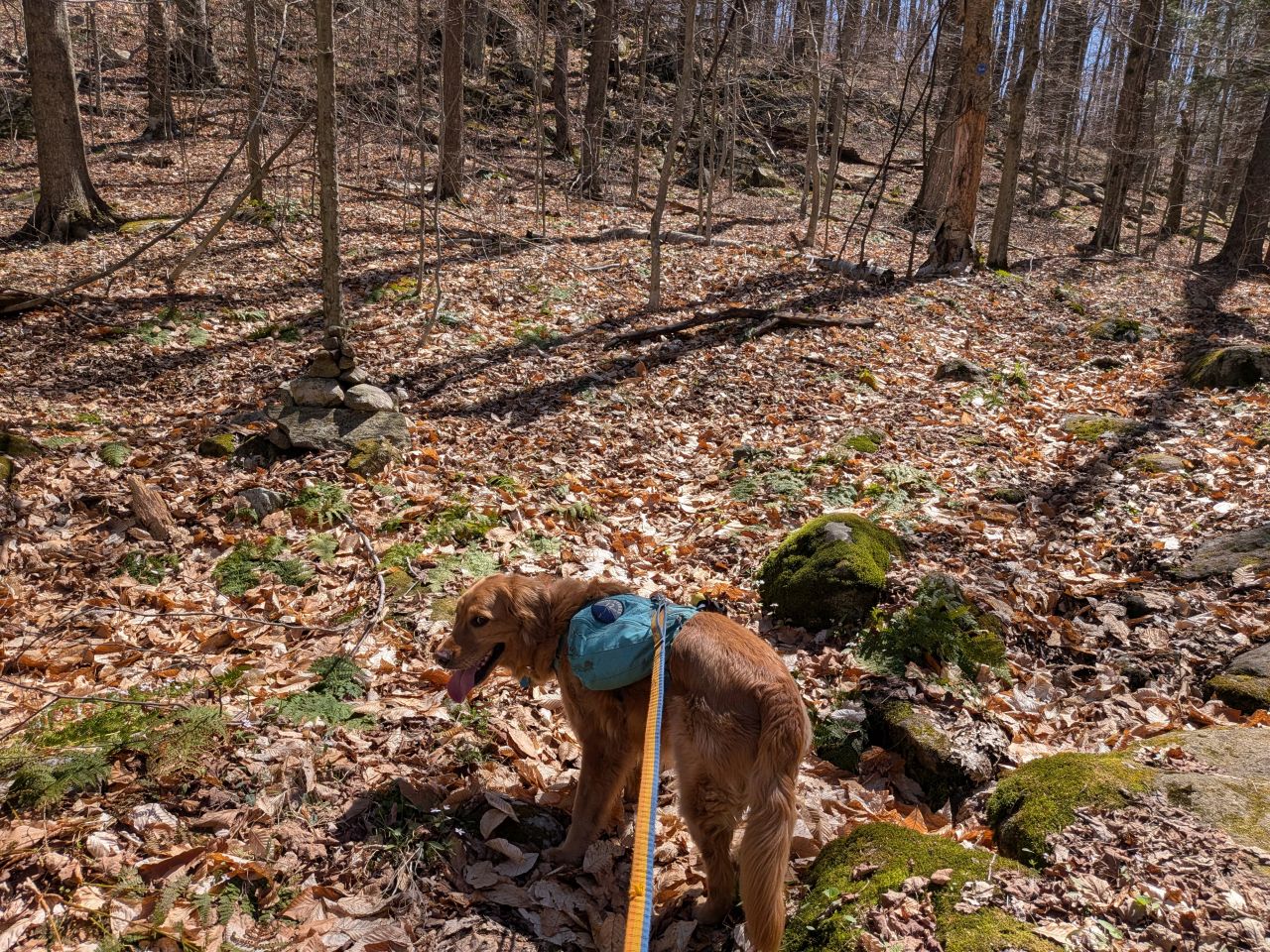
Although there were a handful of small puddles on the trail today, they were few and far between. For the most part, the trails were dry. Inman Pond Trail is about as wide at this end as I remember it being on the other side of the ridge. I'm sure this was a cart path from the lake to the hiking and camping area at one point in the past. It was easy to hike on, with very few roots, but plenty of rocks to look out for.
I've been looking at some older topographical maps. They actually mark this trail and other wide ones in the area as "Jeep Trails".
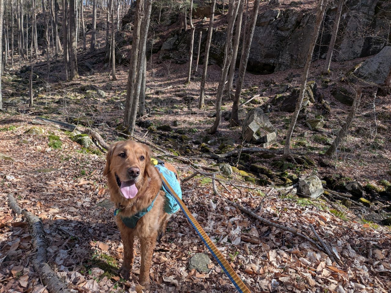
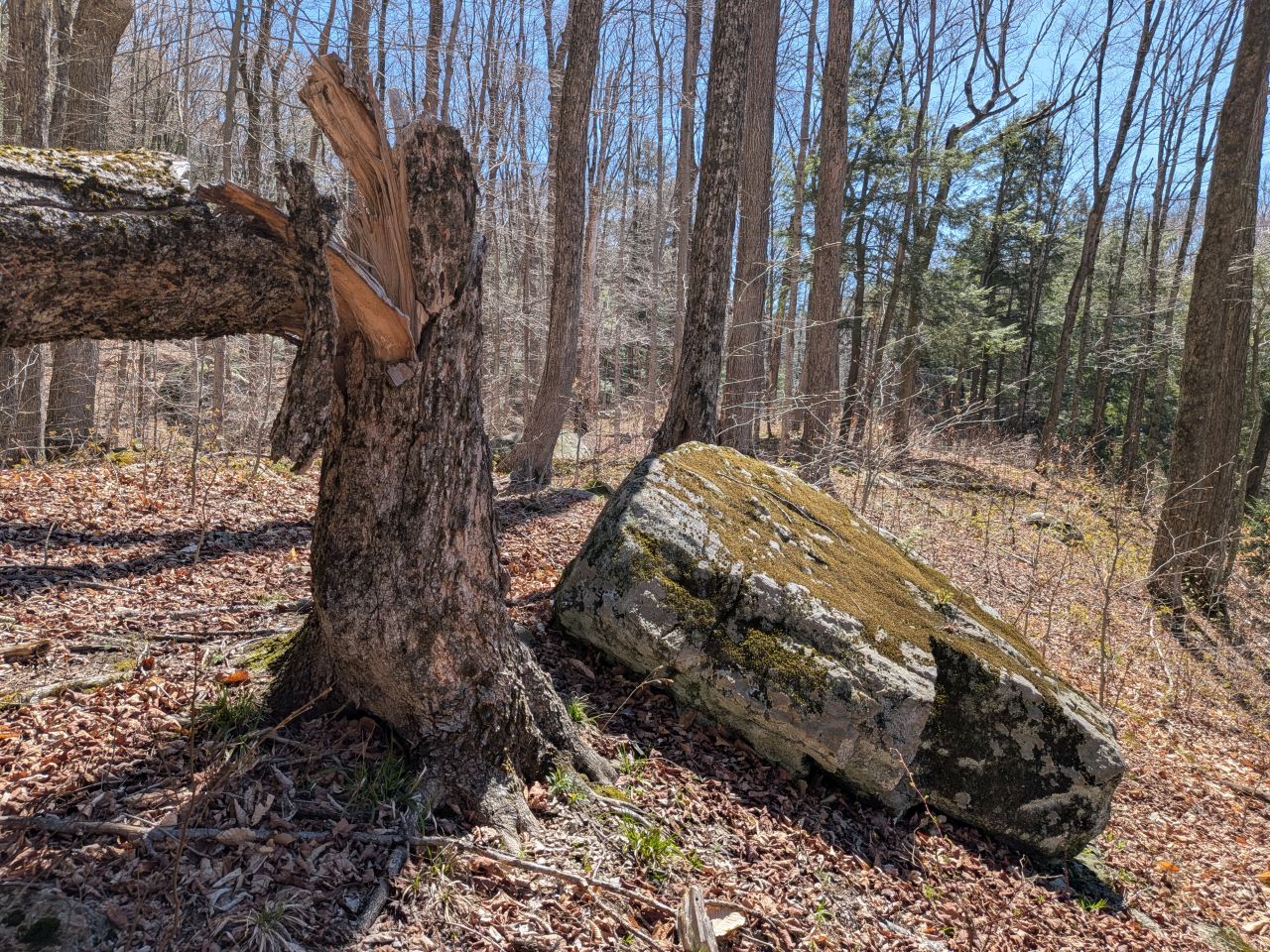
The sights along the way were pretty standard Lake George fare. Rocky streams cut across our path a few times which Sunny took advantage of. Rocky outcroppings slashed across the landscape past the trees on both sides. Although the deciduous trees had not yet decided to bloom much, the birds were singing (especially Jays). Hard-working woodpeckers were a constant companion today.
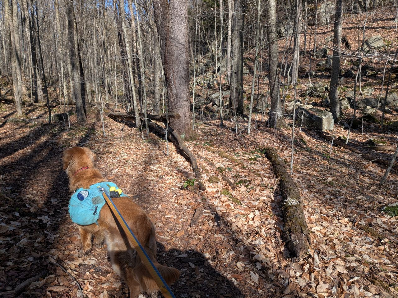
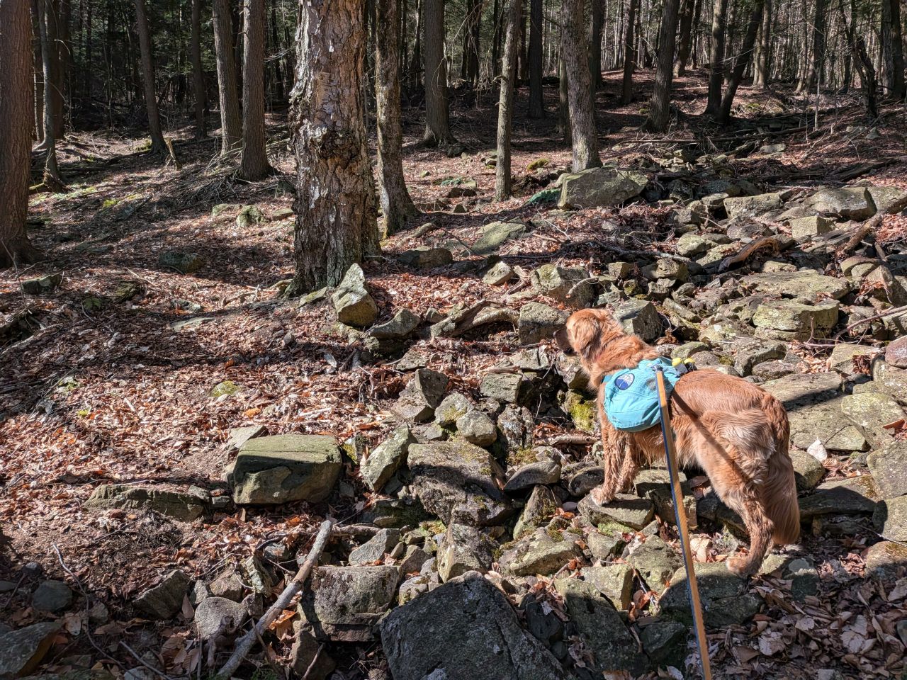
There was lots of evidence of constant trail maintenance on the trail. As is normal with this area, I saw a few spots that could have easily been herd paths of some kind. The most obvious of these was a cairn I saw about a mile into the hike. I thought about following it, but stayed on task. The AllTrails map does have a "Woods Road" marked so maybe I'll check that out the next time we come out here.
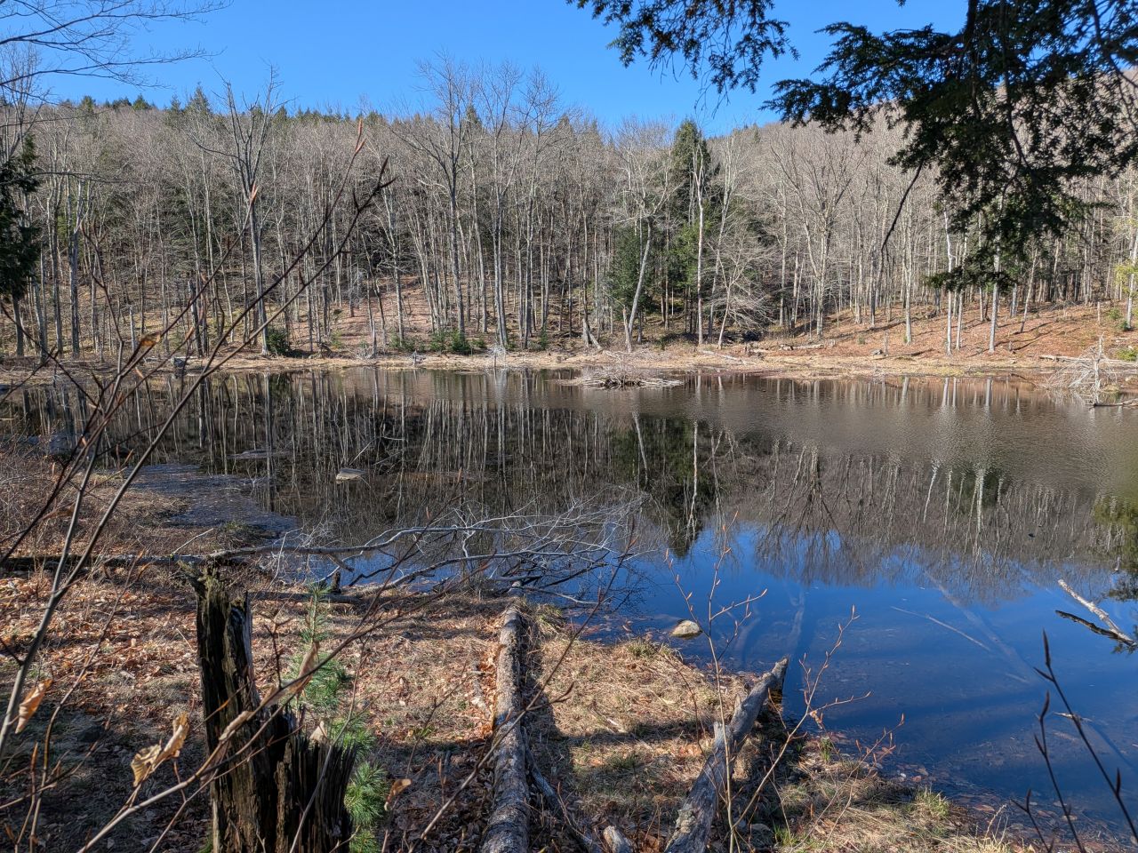
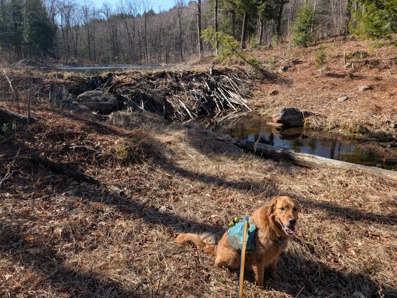
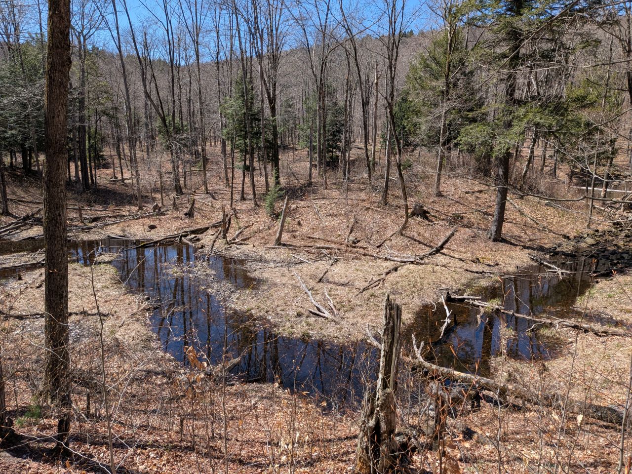
About a mile and a half from the trailhead, the trail passes a cluster of ponds not on any maps. There is, what appears to be, an old beaver dam in the middle of the largest of these. As expected, the flooded area was held back by a sturdy beaver dam.
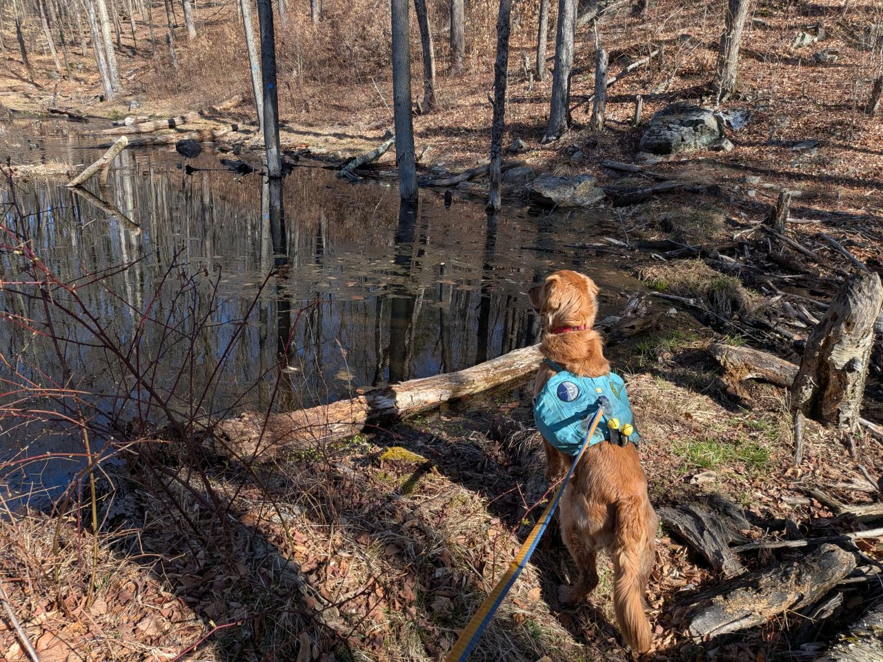
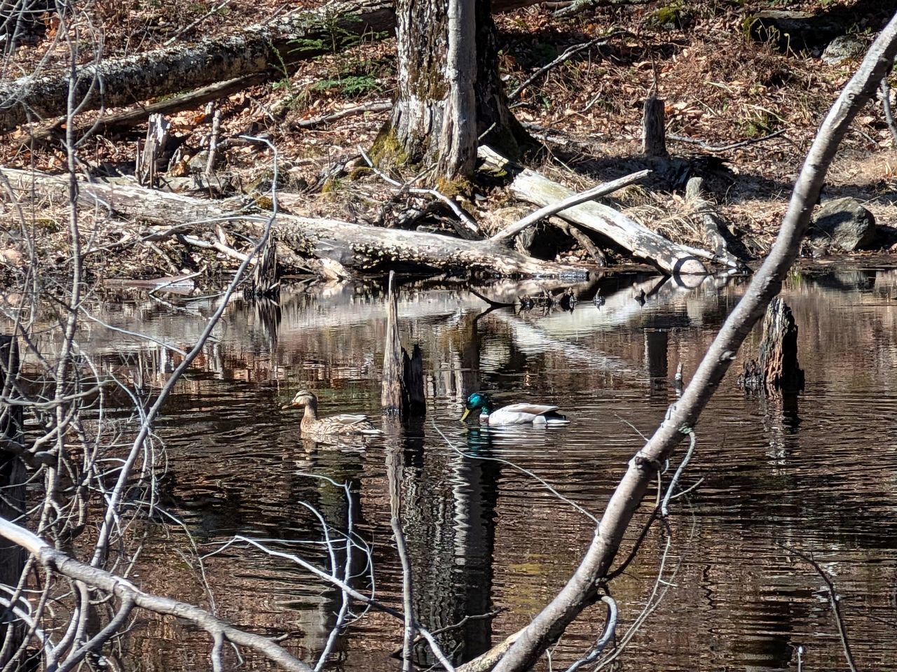
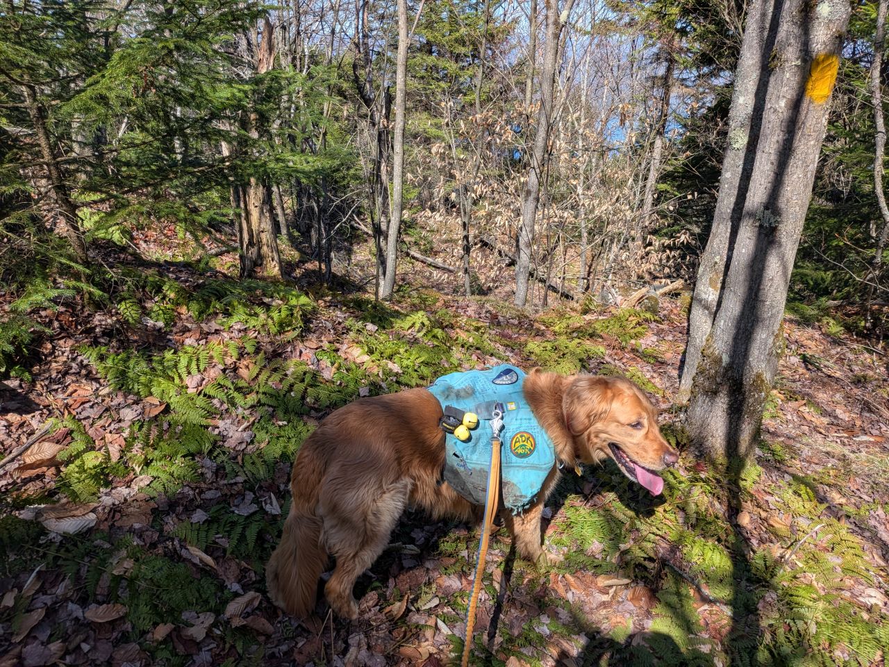
Sunny was quite alerted to the presence of a couple of Mallards swimming about in one of the smaller ponds.
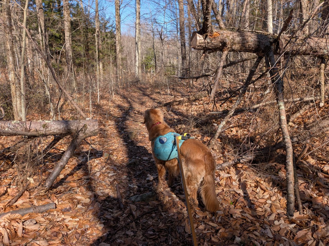
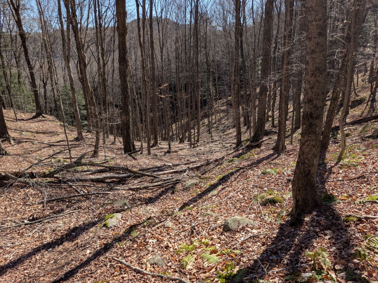
The terrain continued to climb up slowly and steadily the entire way. As it did, the trail under our feet got rockier.

We soon came to the highest point on the trail at the 1.8 mile mark. Here, the trail meanders through a very rocky section between two lumps in the range. I guess the best way to describe it would be as a "pass". After that point, the trail descends down towards Lake George along the Butternut Brook.
I thought about the situation and would have liked to just bushwhack up to the summit instead of hiking down to the mapped herd path. In the end I figured it was worth losing the 350' of elevation in order to document everything properly. I figured we could bushwhack down the mountain later if we felt like it.
The hike down the brook was pretty cool. Lake George hiking is lots of fun, especially this time of year. The brush isn't thick and you can see all the fun rock formations and other terrain through the trees.
A half mile and 350' of elevation loss later and we were at the junction with the herd path. I was surprised to see how clear it was. In fact, I wondered if anyone ever accidentally went up the herd path instead of the main trail. Sunny and I wasted no time regaining our lost elevation up the Pilot Knob herd path.
Pilot Knob Herd Path and Bushwhack

The map kind of makes it seem like you'll be toiling inside a drainage the whole way up. However, the herd path was wide, smooth, and clear, it ascended above and on the right side of the deeper and more eroded center line of the drainage. The view across was nice to look at and I'm sure it's quite magical other times of the year. The sun was really cresting over the mountains and hills to the East at this point and the day was warming up. We felt great.
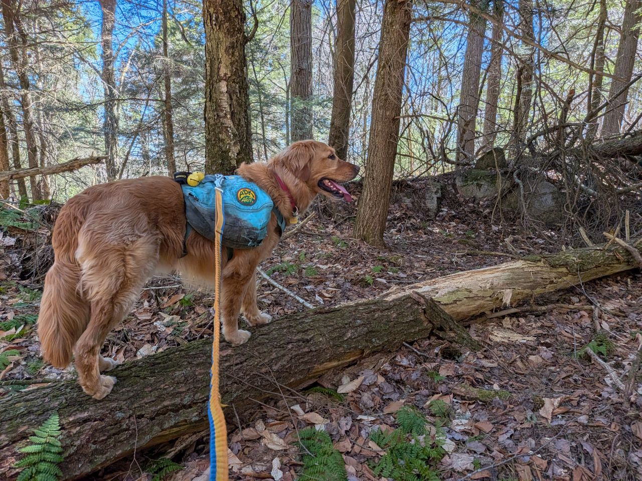
The trail crosses a rocky tributary about a third of the way up.
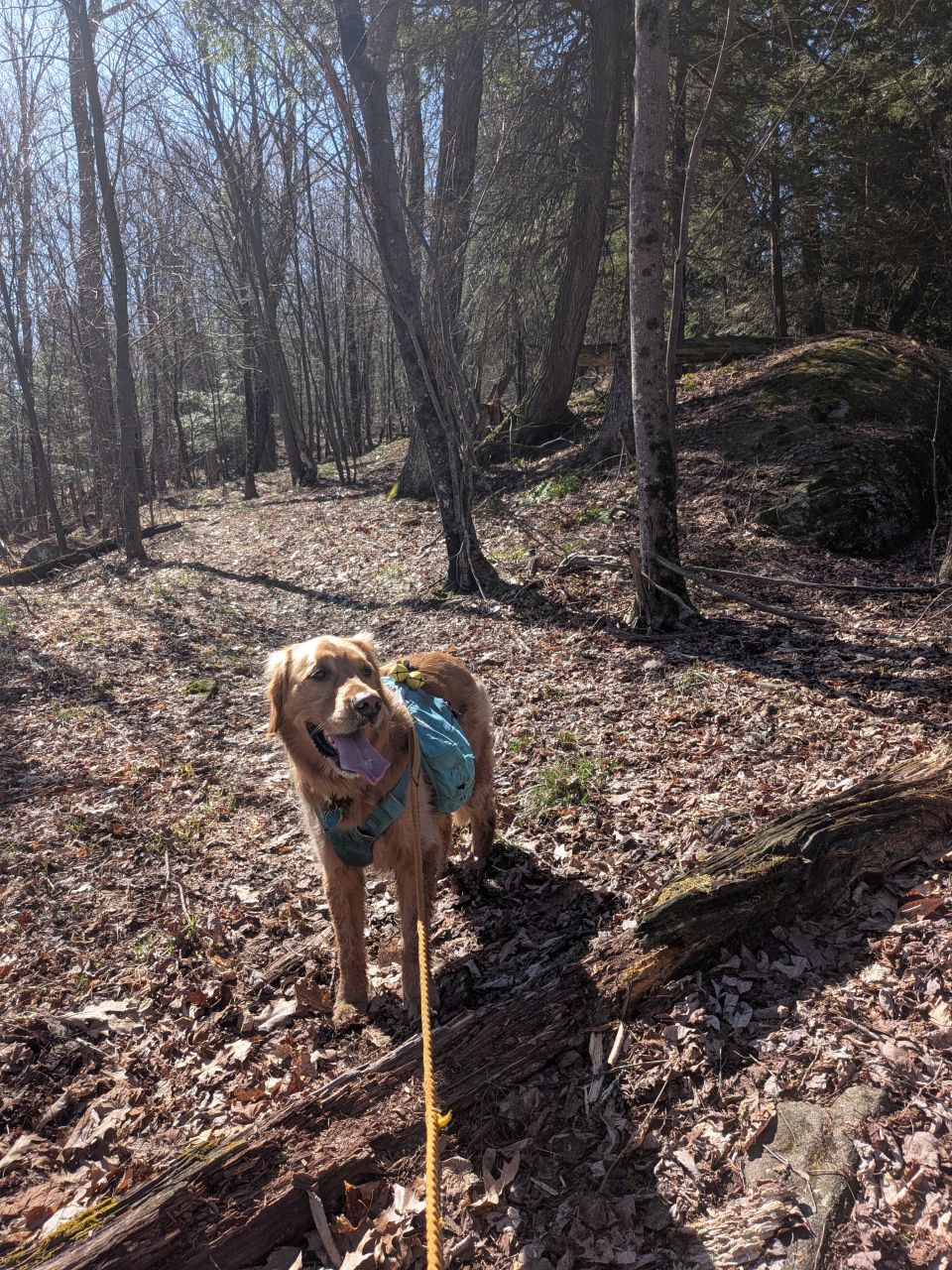
The land evens out about halfway up for a short stint before the ultimate ascent. Here you can see evidence that someone does come up here to do trail maintenance now and again.
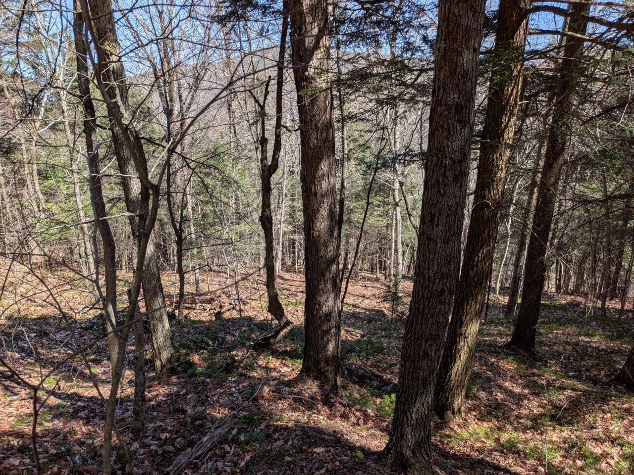
As we climbed up from there, I turned around to catch a view of our progress.
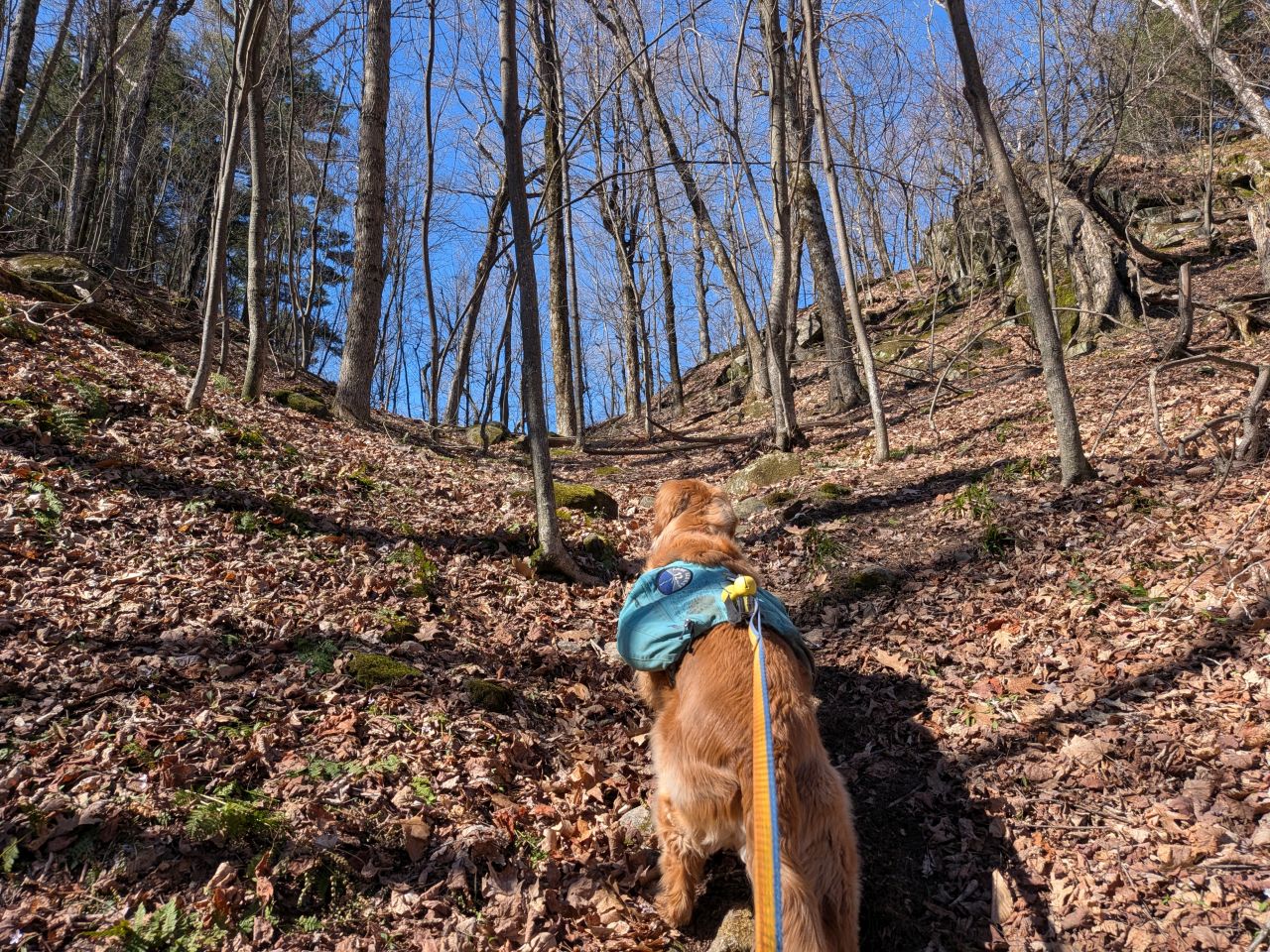
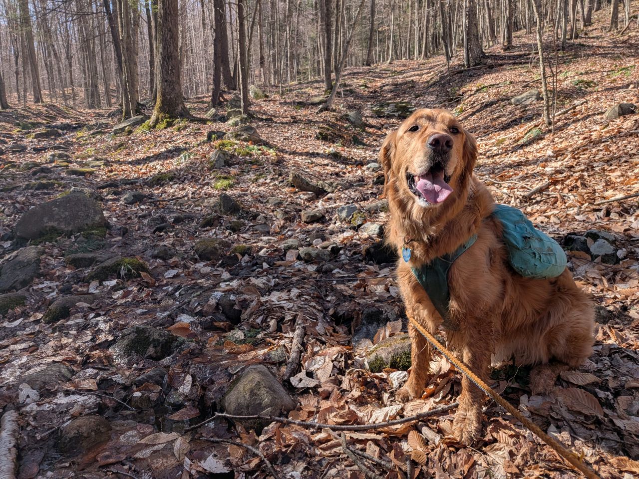
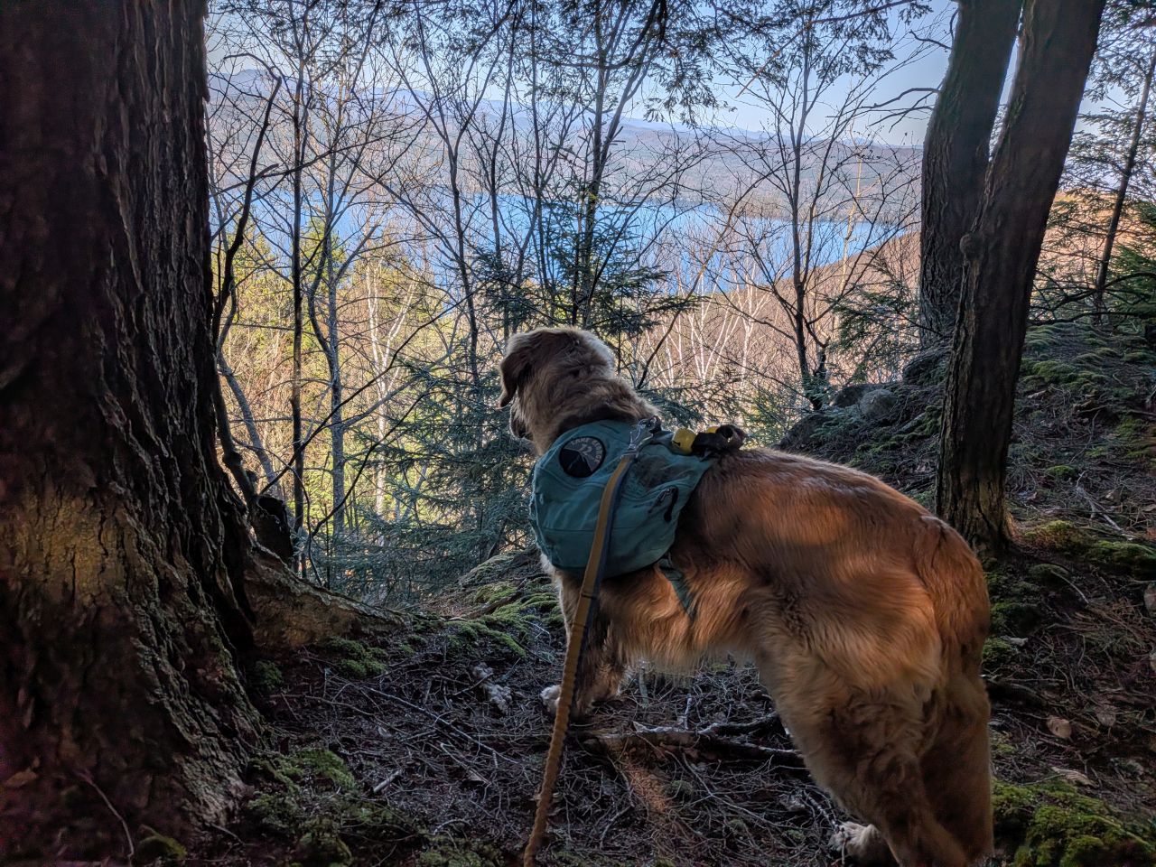
By 10am we were cresting the ridge. The beautiful open ridge-line was a short climb to the right, but I was focused on seeing the true summit today. We turned left (South).
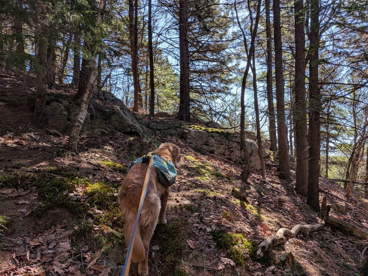
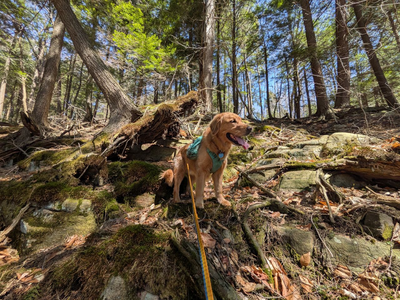
The trail here remains a herd path, clambering over layers of stone, duff, and logs. It's all quite passable and well-maintained. There was a clear path heading left up to the summit and right across the summit's headwall. I decided we'd take the right herd path to see if it leads past the plane wreckage.
We never did find the wreckage, but it was a lovely walk in the woods. The headwall is neat and the obscured views are nice enough. I am pretty sure many of the herd paths through here are literal herd paths. We saw definite signs of deer here and Sunny was kind of losing his mind.
After walking past the headwall, I led us up to the spur ridge where we followed more deer herd paths up to the summit.
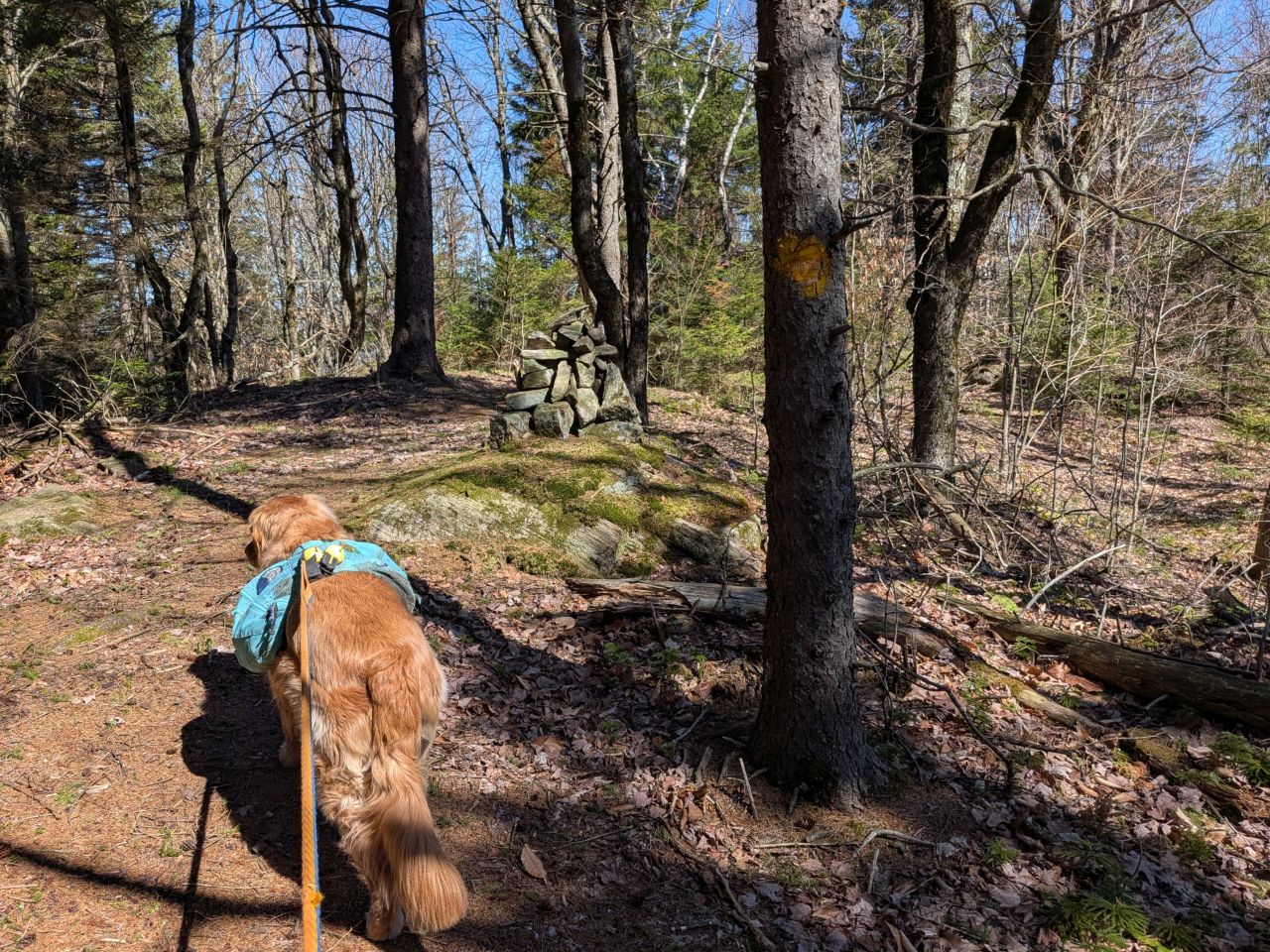
We found the summit before 10:30. It was pleasant enough there and we both had a snack and water. There are yellow trail markers on the summit which lead Northeast-ish. I'm not totally sure where they go because they don't follow the ridge. Someone on Facebook said those markers lead to the plane wreckage. I thought it was on the other side of the mountain. Maybe next time.
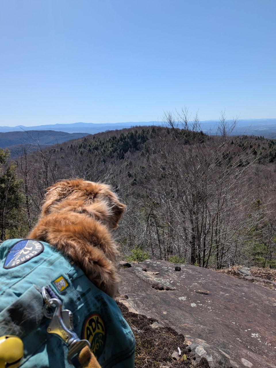
The East side of the summit has a slab overlooking the surrounding terrain and Vermont beyond. It isn't a breathtaking view, but it sure is a great place to sit in the morning sun.
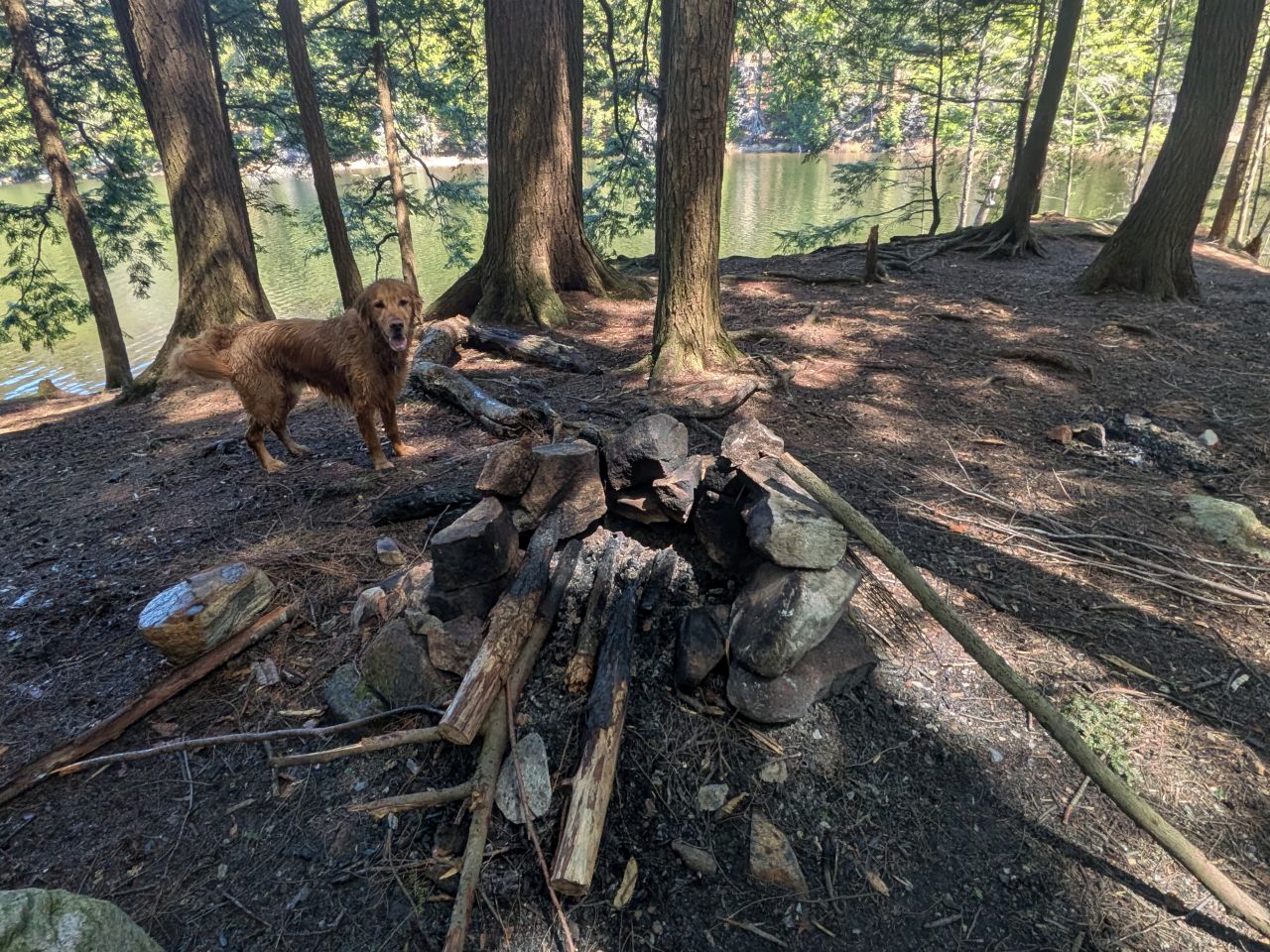
Wandering around the summit, I found a clearing with a fire pit. Clearly there's no disc here, and it's not in the Shelving Rock special management area (which has different rules), however standard ADK camping rules do apply in Lake George Wild Forest. I don't know if this would count as being 150' from a trail or not since this isn't a designated trail. However, what does trump any of this is that this site does seem to be just a few yards off from being on state land. I do think it's probably still public (town) land, but I don't think it's a good idea to camp, let alone have a fire here.
We did follow the yellow-marked trail for a little bit, but we were losing elevation fast and I wanted to make a decision about our bonus objectives. I wanted to make sure I was home in time for Quinn, after all. I decided we'd skip the views from the ridge for now and make a bee-line for the climbers' path junction which, I calculated, would save us hundreds of feet of elevation re-gain. We made a hard right and started bushwhacking down the slope.
I tried to avoid dumping us into a drainage as best I could, aiming for a spur that should take us right to the junction on the trail below. I kept to a consistent bearing, but did find myself following herd paths over and through obstructions. I figured the deer must know what they're doing. It seemed to work well for us at any rate.
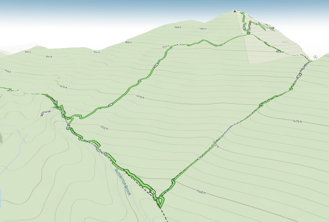
We came out shy of the junction by a dozen meters or so. As you can see from the 3D map above, we did save ourselves quite a bit of elevation gain. I'm not sure I'd do it in warmer months, but it was a fun bushwhack today.
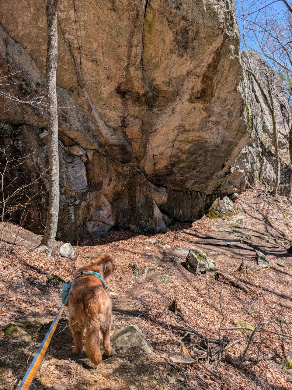
When we came to the junction for the New Buck climbing wall, I thought about the day ahead and how much time we had for the day ahead. I don't have a lot of interest in climbing myself, but I think the formations are cool. According to climbing sites, the New Buck wall is another one with fixed gear that climbers can make use of. According to the log book, people definitely use that spot year-round. Pics I've seen online imply that the spot is also great for ice climbing in the cold months.
I decided that we should focus on seeing Inman Pond and perhaps check out this climbing area another time. I did consider hiking up to the climbing area, then bushwhacking straight from there to the Inman Pond overlook, but there was a long depression along the way which I was concerned might be choked with dead vegetation and, perhaps, a vernal pool.
Inman Pond
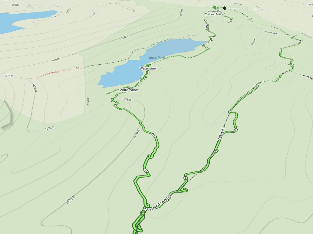
It would be quite a hike down the trail and back again in order to get to the Inman Pond overlook, so I decided we should try another bushwhack. Remembering the sodden pond area from the hike in, I knew I'd need to cut over somewhere near there. With that in mind, I knew the path needed to be done right to avoid any mess.
We skirted around around a band of stagnant water and up to higher ground.
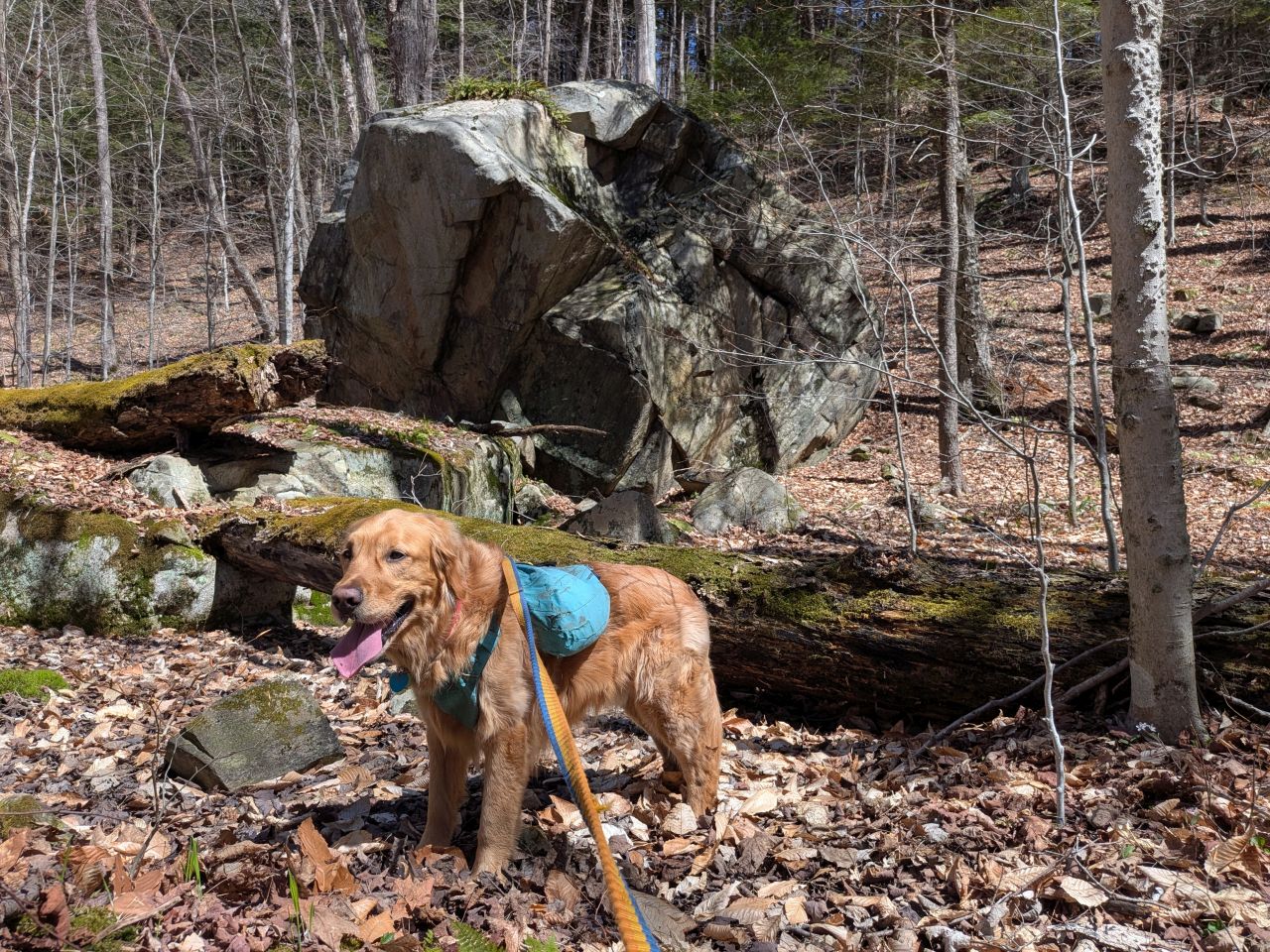
We crossed a dried-out marshy area with a massive erratic standing in it.
After that, we climbed a little more to avoid standing water to our right.
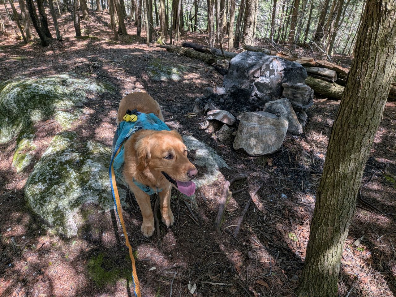
After that, it was a short whack through some thicker brush and a few rock-hops across a thin band of swampy land before climbing to the camping area at the Northwest tip of the pond. It's a fairly expansive spot with lots of opportunity for tents. I'm not totally sure about hammocks but there is a lot of open space and some big trees. Very near the overlook is a gorgeous fire pit.
The site near the overlook technically isn't a designated site according to DEC Info Locator. Having said that, it's definitely on state land and it's definitely far enough from a campsite. According the the DEC Info Locator, the fire pit is 200' from the water's edge as the crow flies; it's certainly farther than that accounting for slope. Any tents pitched in the woods would absolutely be fine as long as they stay off the private land to the North.
We didn't visit the sites on the North side of the lake. Folks seemed to indicate they liked those better because they are more secluded.
As an aside, I hear the current land holder of the Crossett Pond property wants to develop the land further. There's already a colossal McMansion on that lake and another big house on the pond North from there.
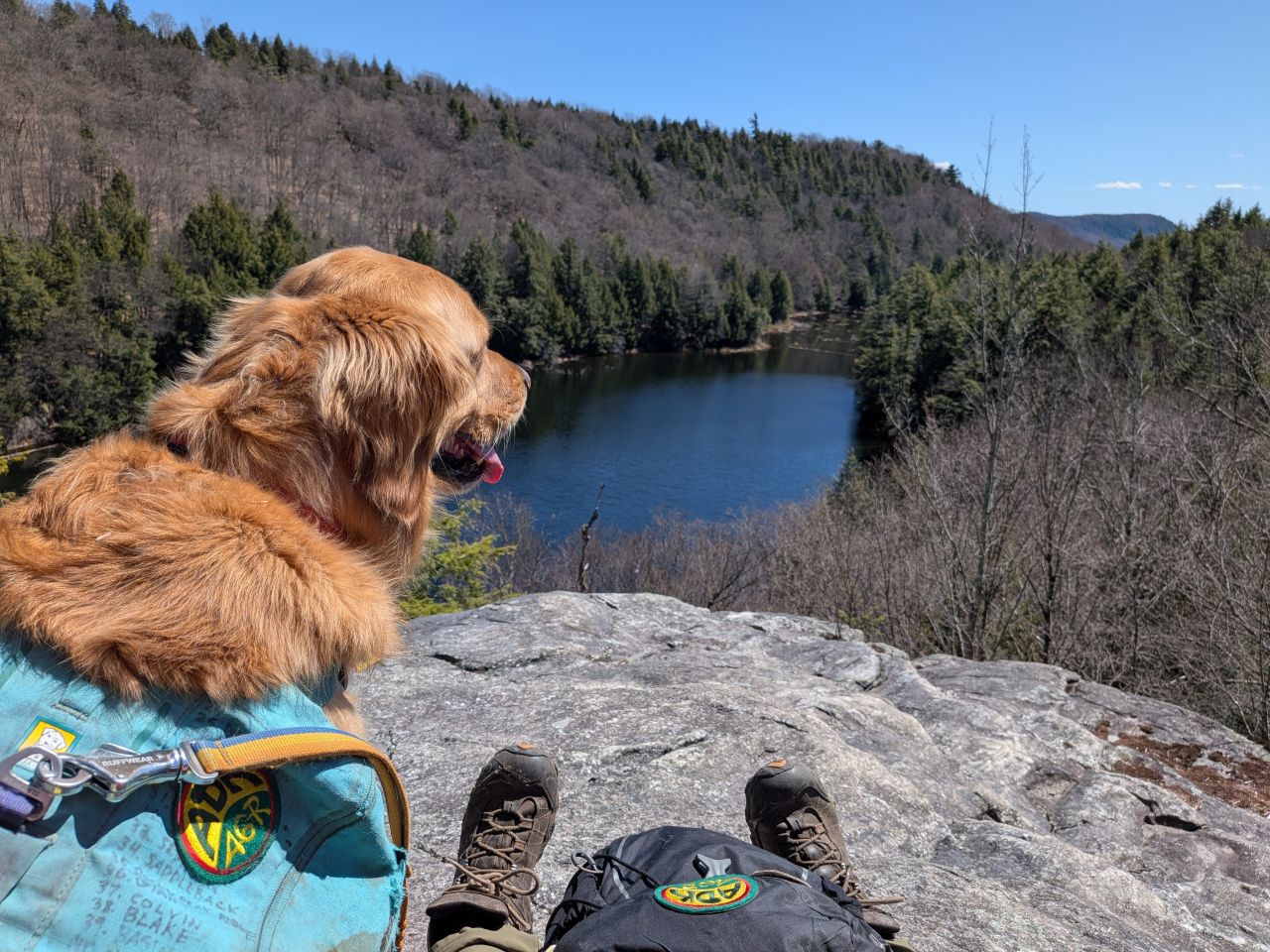
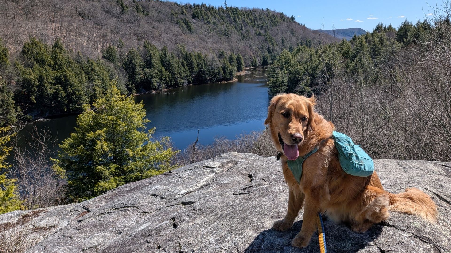
The overlook is situated on a huge, glacially-tortured rock formation. The view is quite beautiful. I'll be back here again I'm sure. After having lunch, we were packing up when our first hiker of the day approached us. Sunny was very happy to finally get some pets from a stranger, after which we left her to her solitude.
I am not sure if this is an erratic or an in-place formation that has been tortured by glaciation. Feeding the rock photos to various software has confirmed the rock as gneiss (rock formed under extreme pressure) which is common for the area. I guess the haphazard nature of the lines and how they are presented show they are actually formed by pressure stress; these are not the clear banding of sedimentary layers. The little pockets of weathering I mistook as a sedimentary trait are simply chemicals working on softer minerals in the compressed gneiss.
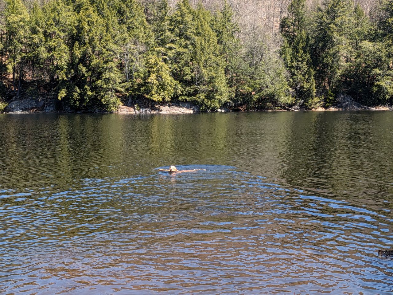
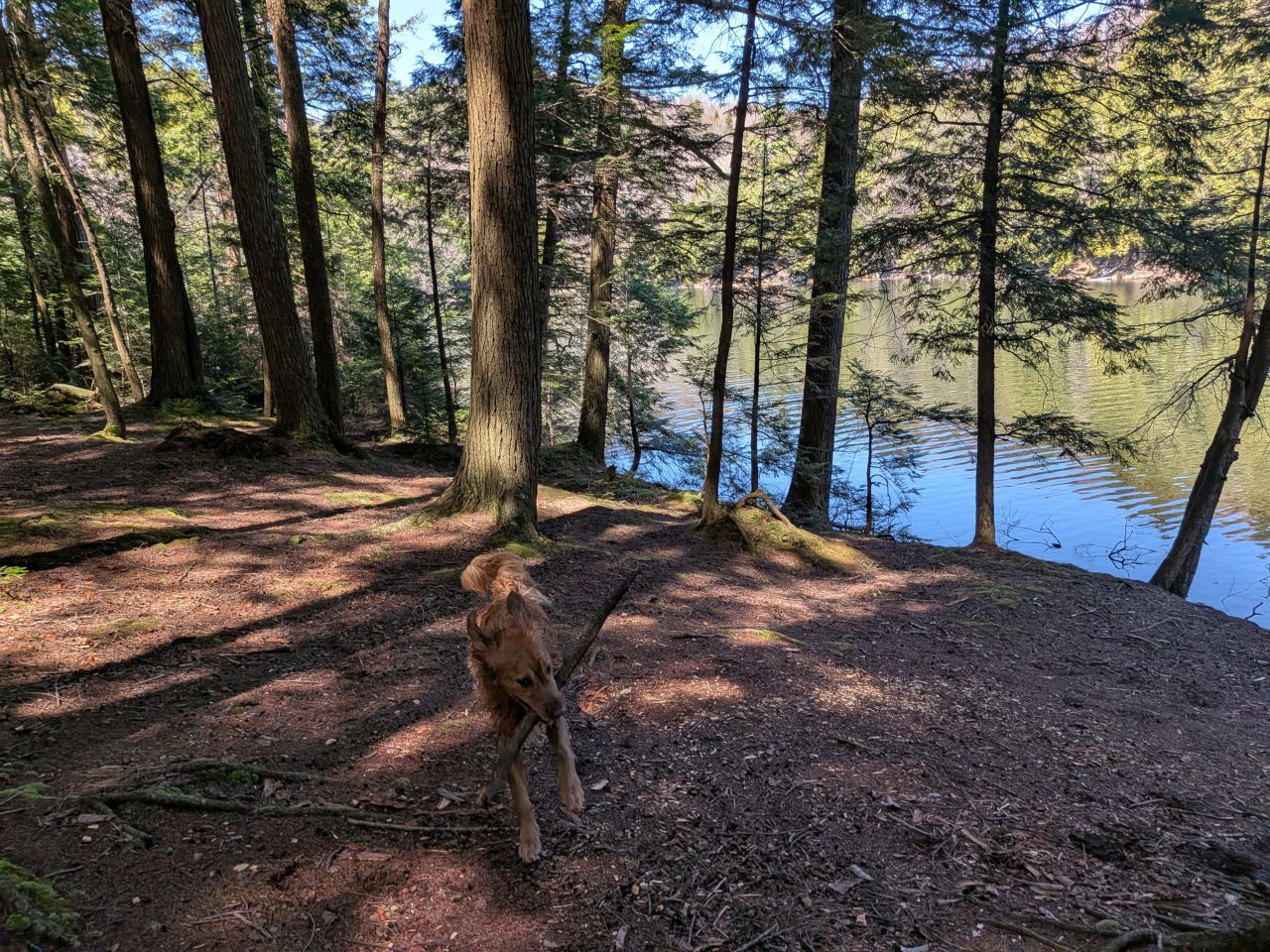
Sunny doesn't care about the differences between gneiss and limestone. Bro just wants to hike and swim. Sunny had an incredible time swimming for sticks (as usual). I'm not sure I'd want to swim in the pond, but the water was rather clear at the shore near the campsite.
We heard another dog bark across the pond a few times, but we never saw them. According to the person we spoke to on the overlook, there was someone camping over there.
Best day ever!
The designated campsite on the South side of the pond is super awesome. It's situated right on the shore and there are lots of spots for tents. Although the marked trail ends here, you may get visitors to your site heading for the overlook. If you're looking for solitude, go to the other side of the pond as we are not actually entitled to privacy in the wilderness.
As I started hiking away from the site, Sunny definitely indicated he wanted to go back to playing throw-the-stick. He still had the stick in his mouth and he stopped several times to dance back and forth. I felt bad, but it was time to go.
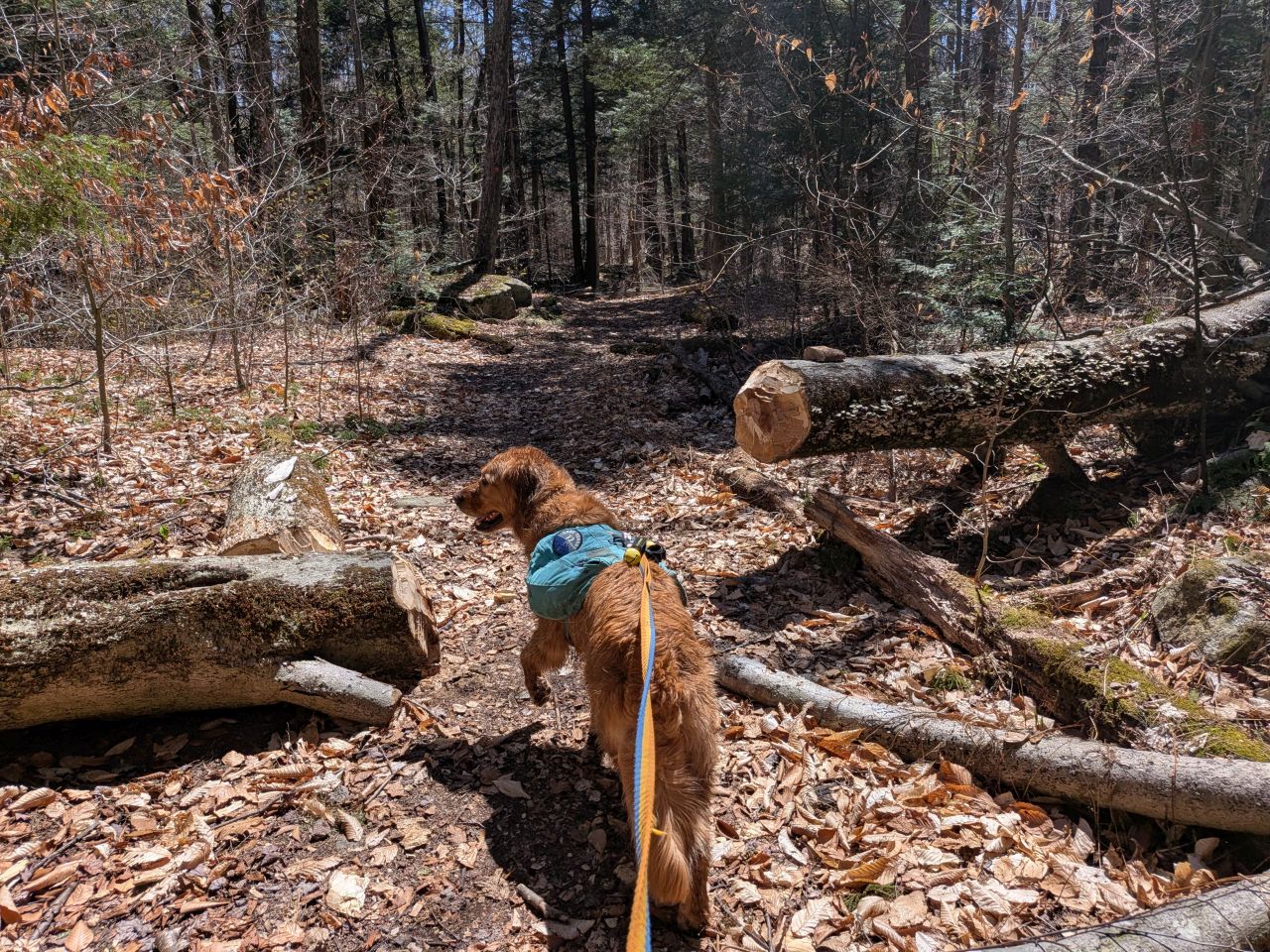
I replaced his pack when he'd dried off a bit. We met a few people on the way out and everyone was pretty cool. I decided to take the unmarked trail back to the car instead of jogging back to the main trail. I don't think we saved a ton of time or miles, but I wanted to see what the trail was like. I can now say that it is clear, fast, and quite well-maintained.
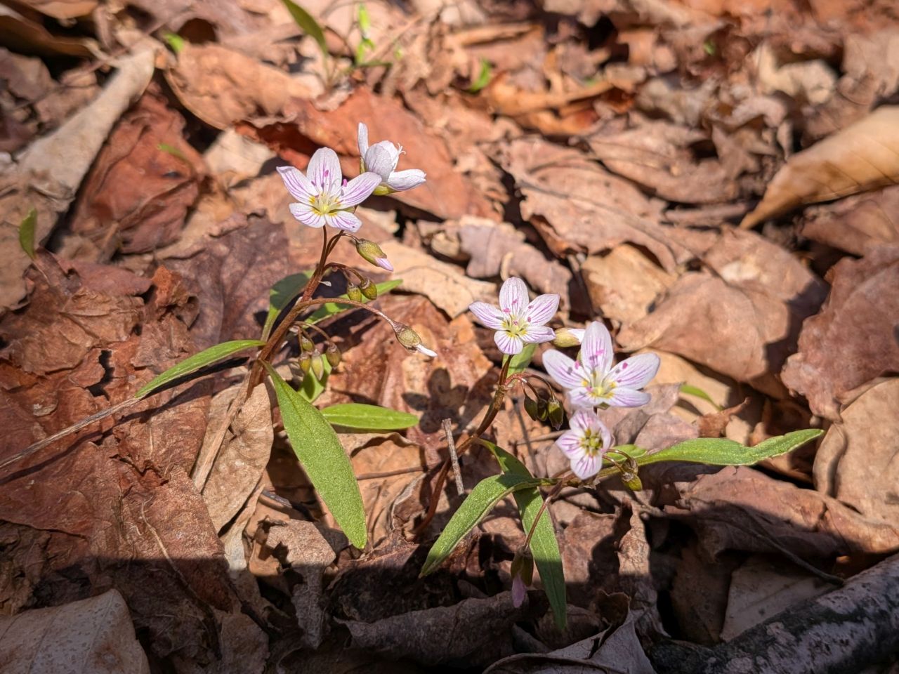
Springbeauty. Actually a starchy tuber you can cook and eat.
I hadn't checked my thermometer in a while and it was 74F by the time I got back to the car at around 1PM. I was really happy with how much hiking we got up to in less than five hours. All told it was a 7 mile and 1600' day and I felt great. We had enough time for a leisurely drive home to shower and relax.
We'll definitely be heading out to do trail maintenance soon. However, next weekend I'm hoping to get out for a quick Monday hike again. I'm not sure where. I'll definitely try to do something new again.
Route Map