


We arrived at the Loj bright and early. Well, dark and early. After feeding Sunny his power food, we were on our way at around 5:30. Luckily, the rain from the previous week had stopped and the humidity had broken.
We hiked around the Southern side of Heart Lake which was unsurprisingly well-maintained. I was in a great mood and full of caffeine and it's possible the ADK volunteer steward of the campground had to remind me that it wasn't even 6am yet.
Northern Indian Pass

The sun was really making it's presence known by the time we reached the Indian Pass junction. I think the only ones having a better morning than us were the birds.
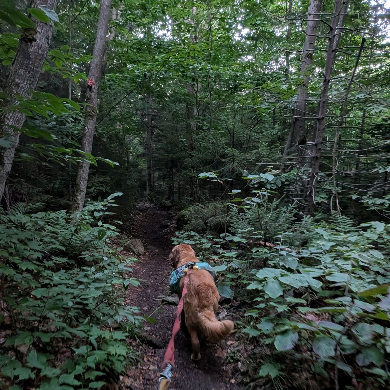

The Indian Pass Trail on this side of the pass was in much better shape than I'd been led to believe. It was extremely well-maintained. What's more, the layout of the trail's drainages was intuitive and well-executed. From Heart Lake to Scott Clearing, the trails were largely dry and smooth.
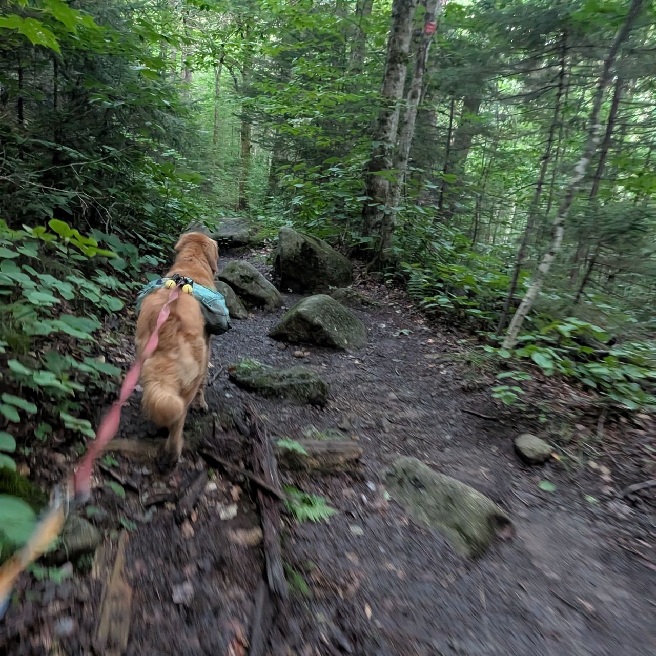

As well-used as the trail was, we were walking mostly on dirt the entire time. There were also some log and plank boardwalks erected here and there. They were in good shape, but they were still quite old, so many of them were very slippery.

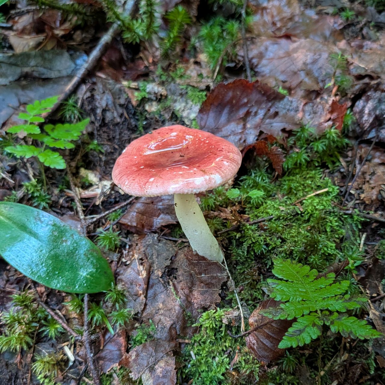
The mushrooms were in their prime. Adorable, vibrant little Amonita and Russula were growing all along the trails this morning.

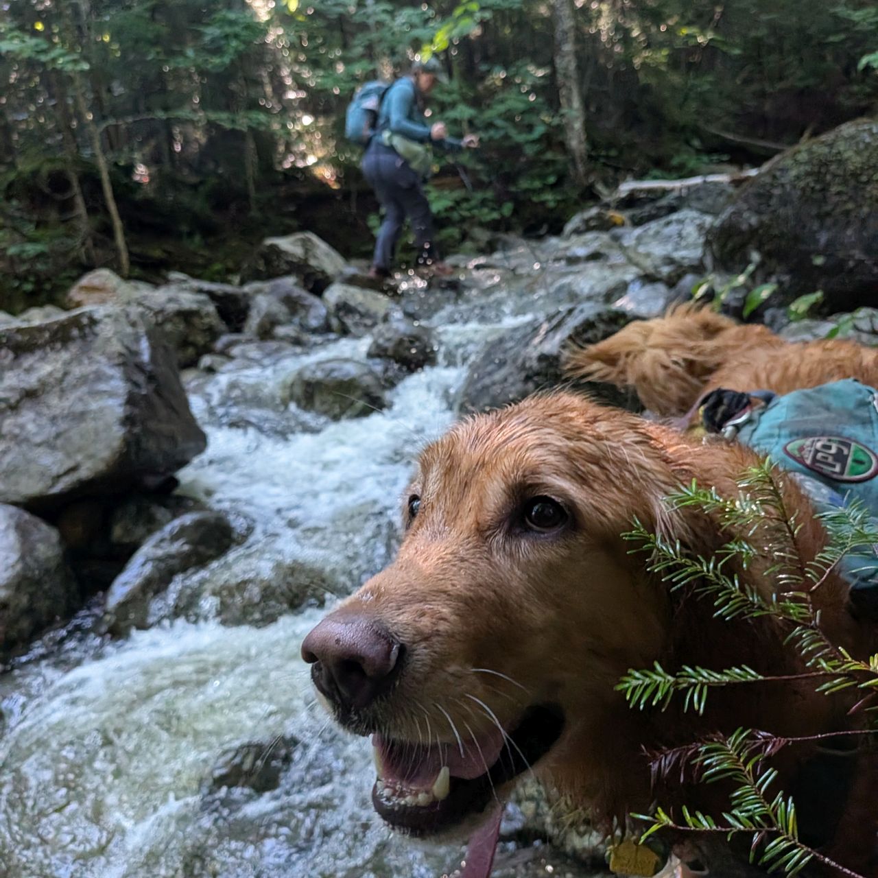
Unsurprisingly, little streams tumbling from the range crossed our path along the trail. The crossings were largely mild even after all the rain from the past week.

We reached the Rocky Falls junction about an hour after we'd started. I was keen to check out the falls and lean-to and Charissa obliged.
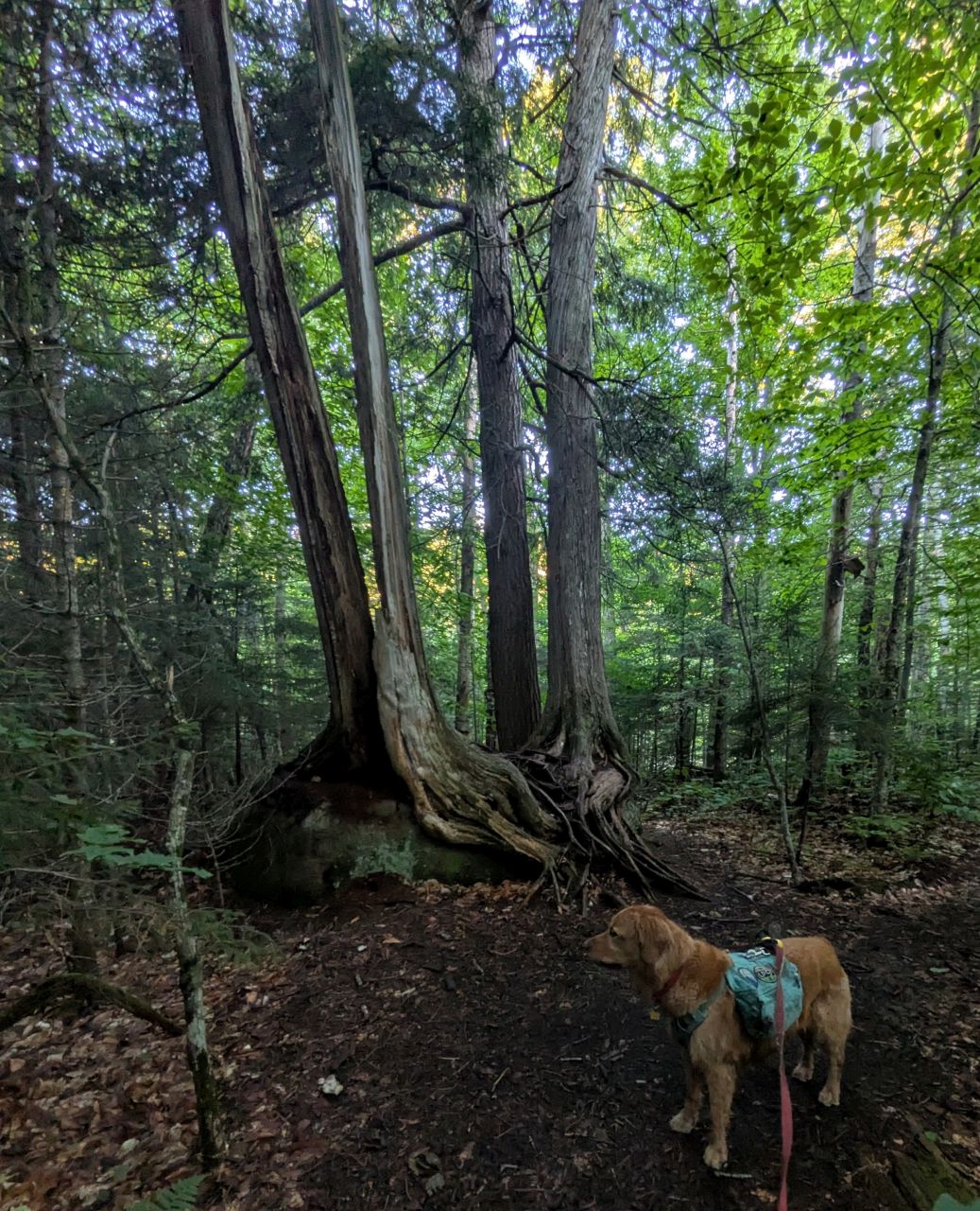
There was an awesome tree eating a rock on the way to the falls.
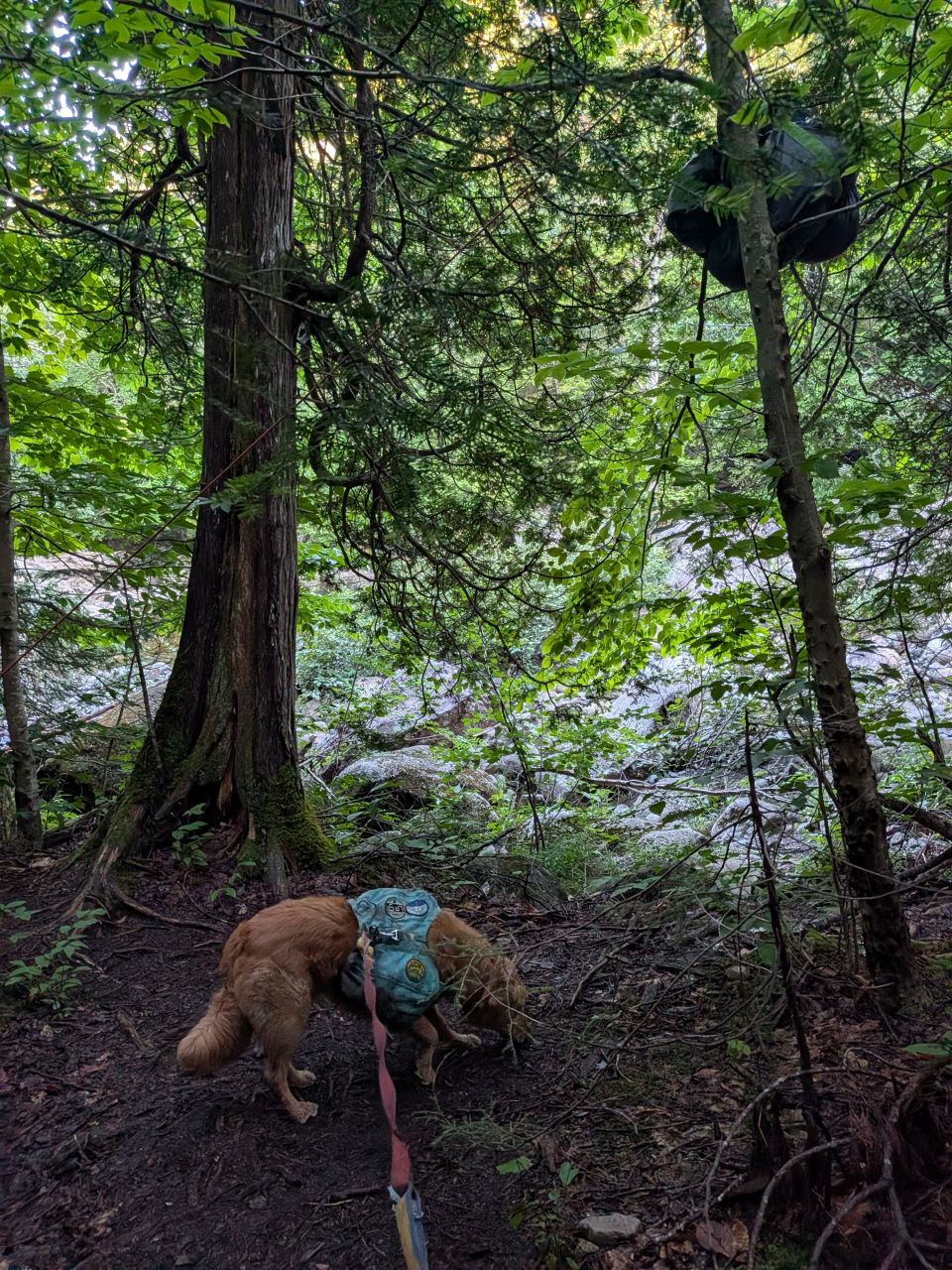
We also passed a bear bag satchel near the falls. Charissa, a seasoned backpacker out West and elsewhere, was dubious about the effectiveness of the methodology on display here.
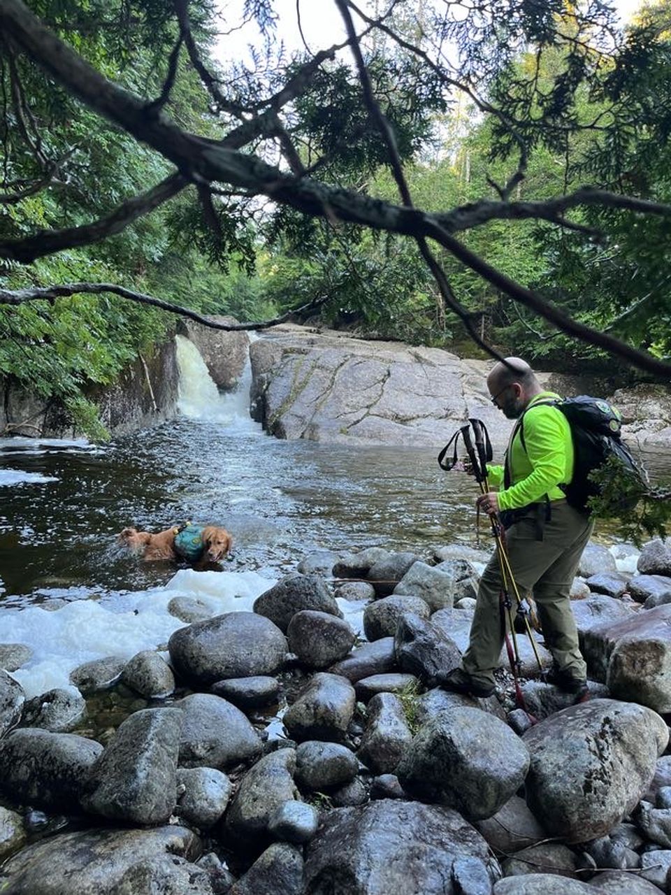
Sunny was very glad to find a place to swim. The falls were cool to look at, but they were far from the last we'd see today.

We climbed up to the lean-to where we found a hiker and a bunch of gear. The hiker said it was cool if I took a picture. The lean-to looks like it's in incredible condition. I'd love to stay here someday. The region of the lean-to has a lot of herd paths spiderwebbing away from it, probably because it's set pretty far away from the junction in the trail that brings you here, but it's actually just a short bushwhack up to the trail. As such, that's what we did.

It was shaping up to be a beautiful day.

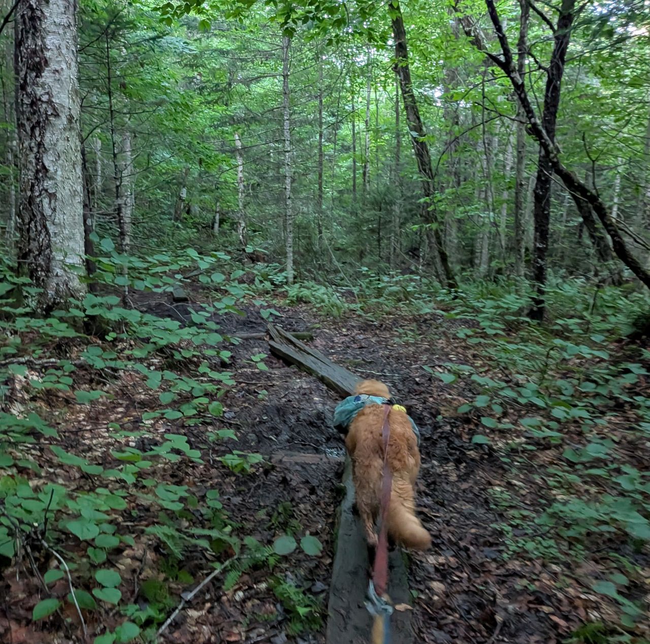
The trail continued to impress us with its speed and dryness. We were so relieved to find it in this condition. I'd considered bringing full heavy rain gear to keep dry despite no rain in the forecast.
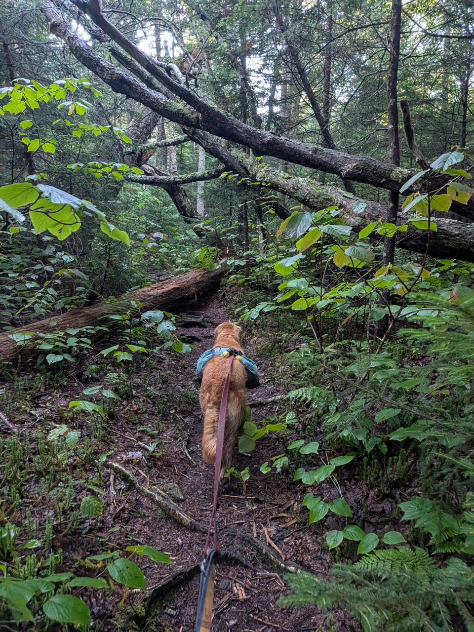
We did find some blowdown here and there, but nothing crazy that couldn't be avoided.
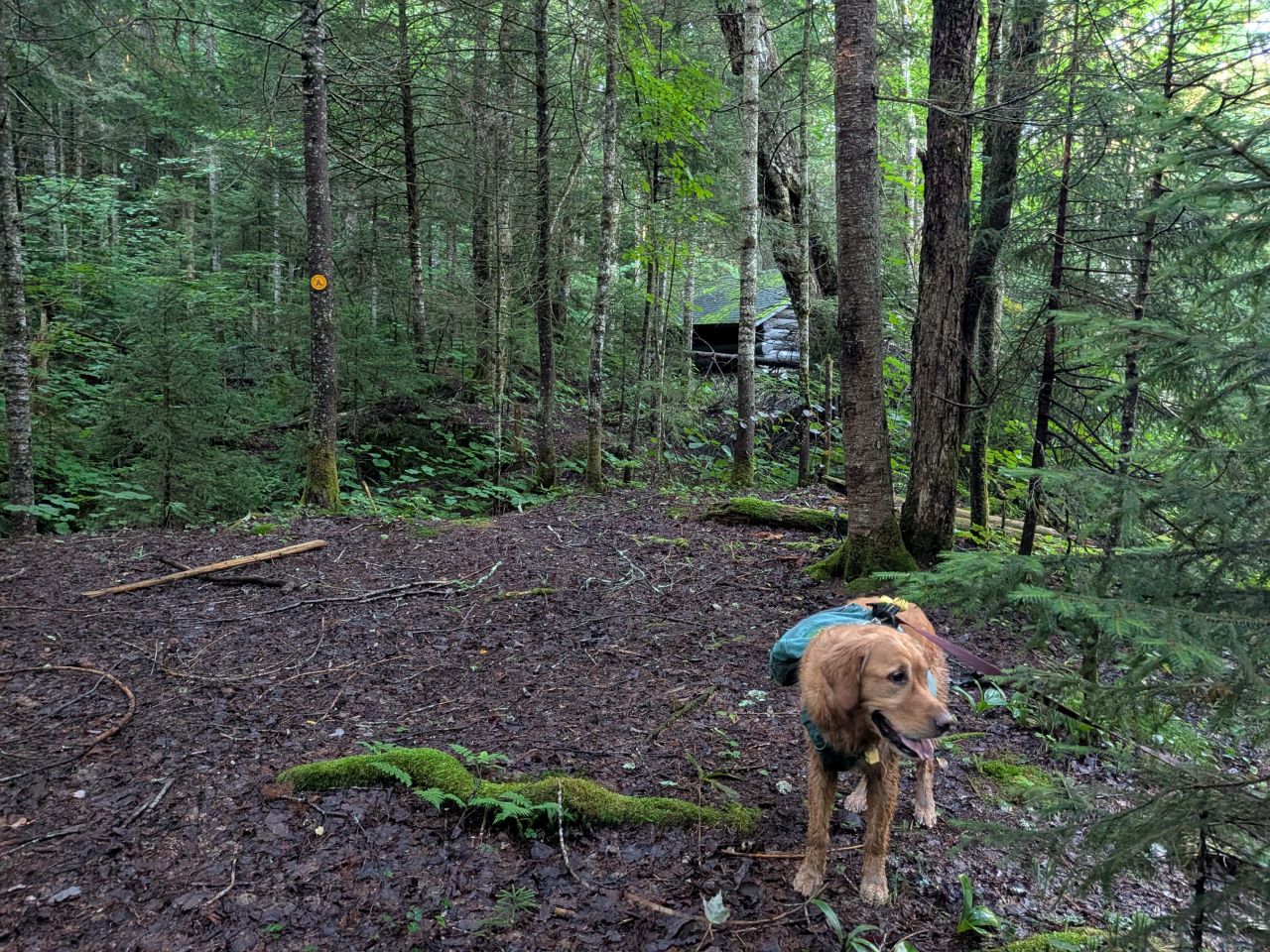
We arrived at Scott Clearing at 7:40, just two hours after we'd started. Here we found our first "no camping at this perfect camping spot" disc.

The lean-to is situated right on the trail. It's in excellent condition and I wouldn't hate staying here either. It's a beautiful spot. Sadly, no fires allowed here either despite being deep in the back-country. We took a packs-off break here to eat, drink, and rest our feet.
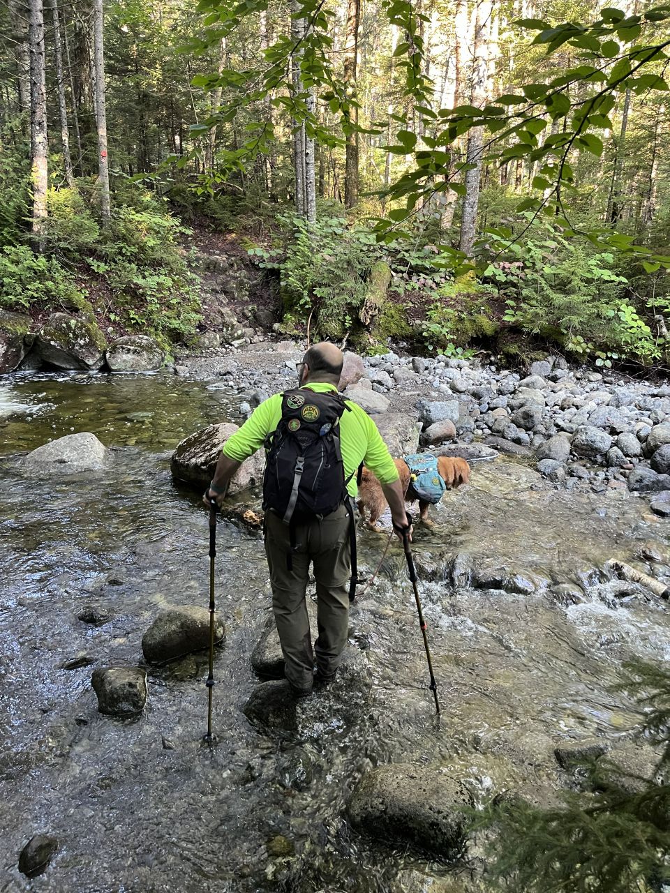
The trail continues from here, one last time crossing the little brook coming down from Iroquois. It was just a little rock hop today but I suspect it can be more engorged at times.

We soon arrived at the tenting area at the Wallface Ponds junction. It was a huge campground under the pines. This entire area is really a cool place to get away from the crowds. However, today there was a big hiking group camped here and we would meet up with them later.
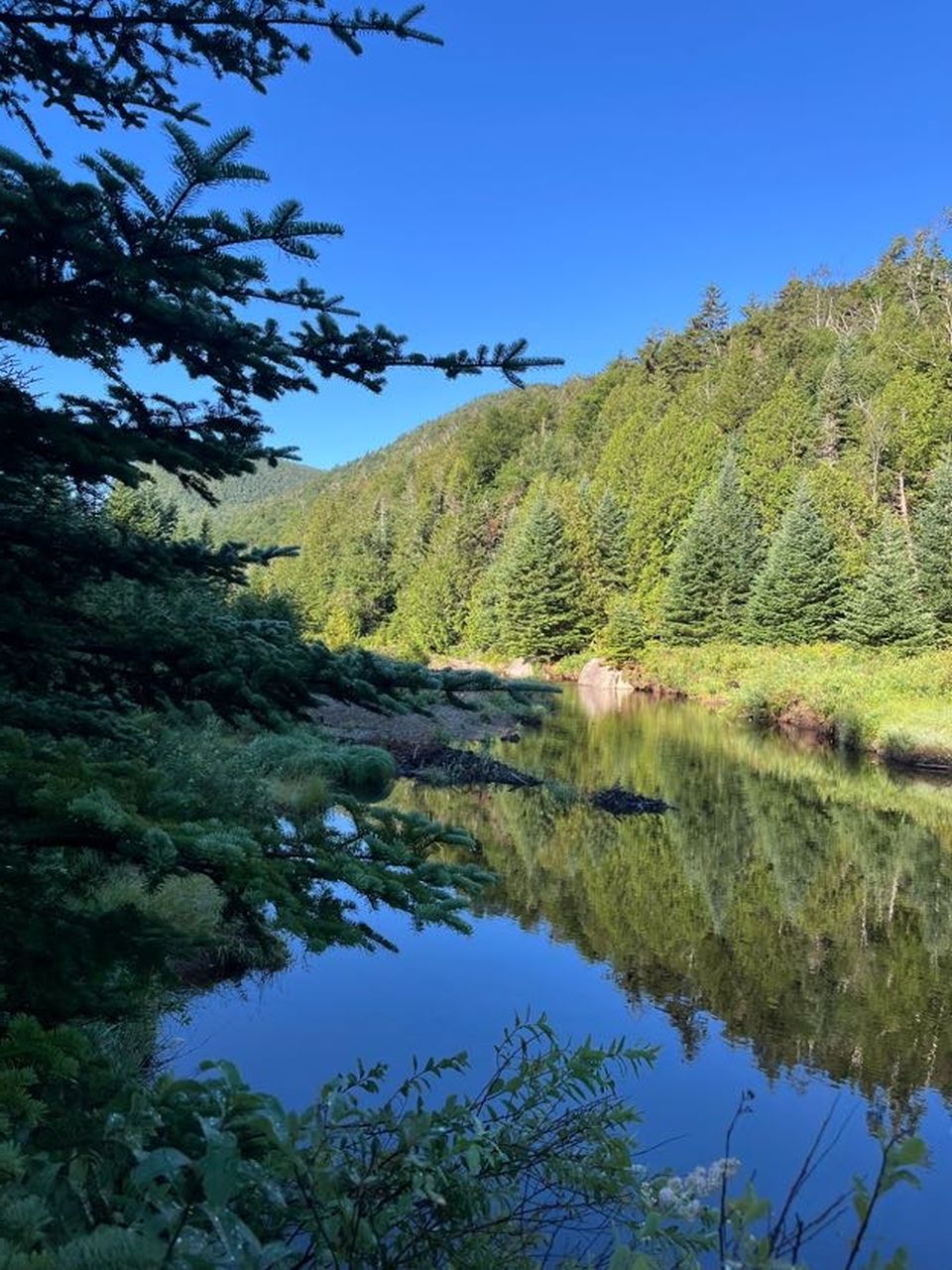
In addition to the trail North (where we came from) and the Wallface Ponds trail heading West, there are two different routes of Indian Pass Trail heading South from the campground. One trail follows close to Indian Pass Brook and the other climbs up onto the shoulder of the mountain for a bit and then down. After a while, the two routes meet up again further South. One person on Facebook called the high road a "high water route". I don't think this is quite true. I'd call the lower trail a "Winter Route" and the higher trail "the way".
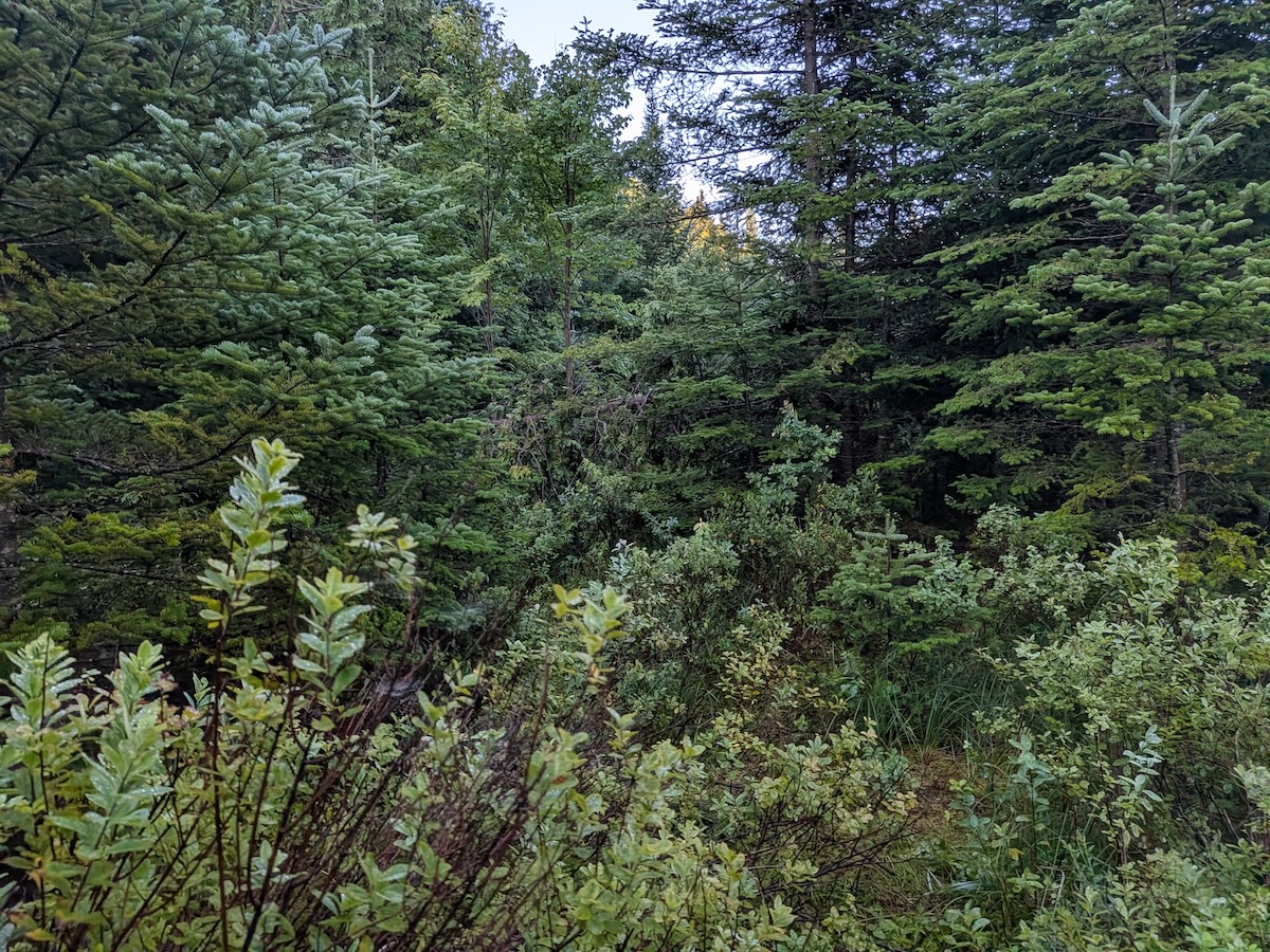
The lower-elevation trail is unmarked and unmaintained. We immediately faced mud, standing water, blowdown, and spiderwebbing herd paths. It's a mess. Despite being represented even on very old trail maps, I do not recommend it when there's no snow on the ground.
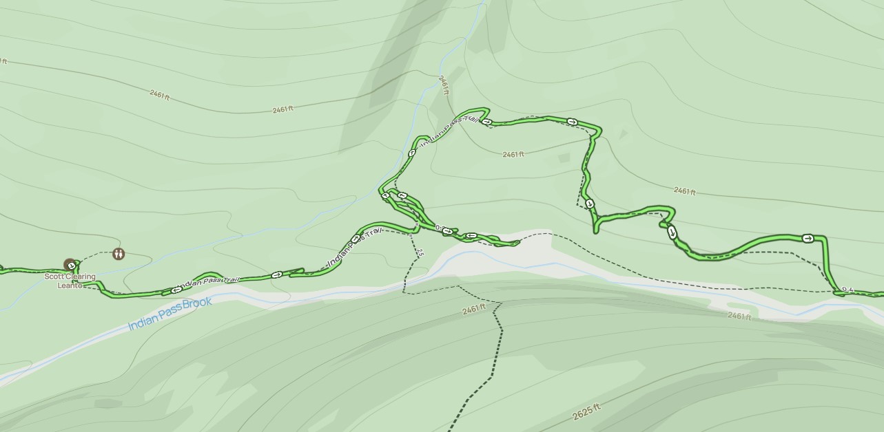
Here you can see in this map how we tried to head down the low trail for a bit, but soon gave up. We were sad that our feet had finally gotten wet.
I'm sure it's fine in the winter, but after sloshing around for a few minutes, we decided we'd get to the other side faster if we just took the other trail.
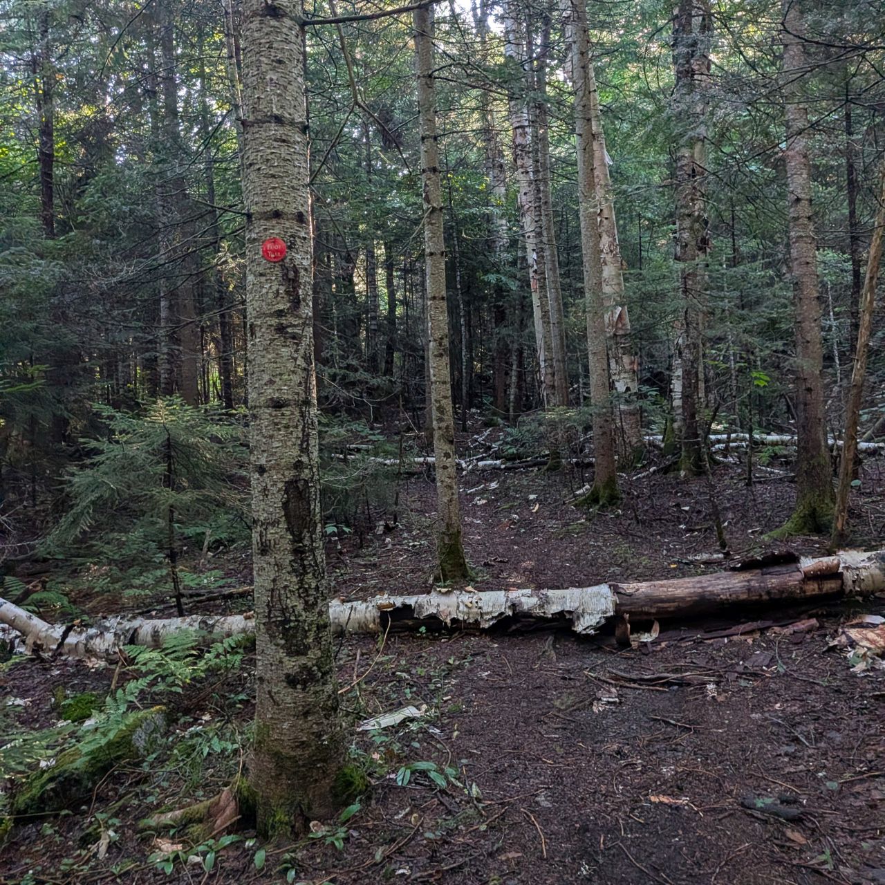

The high route is marked and although there is some blowdown, it is easy to follow and mostly dry.
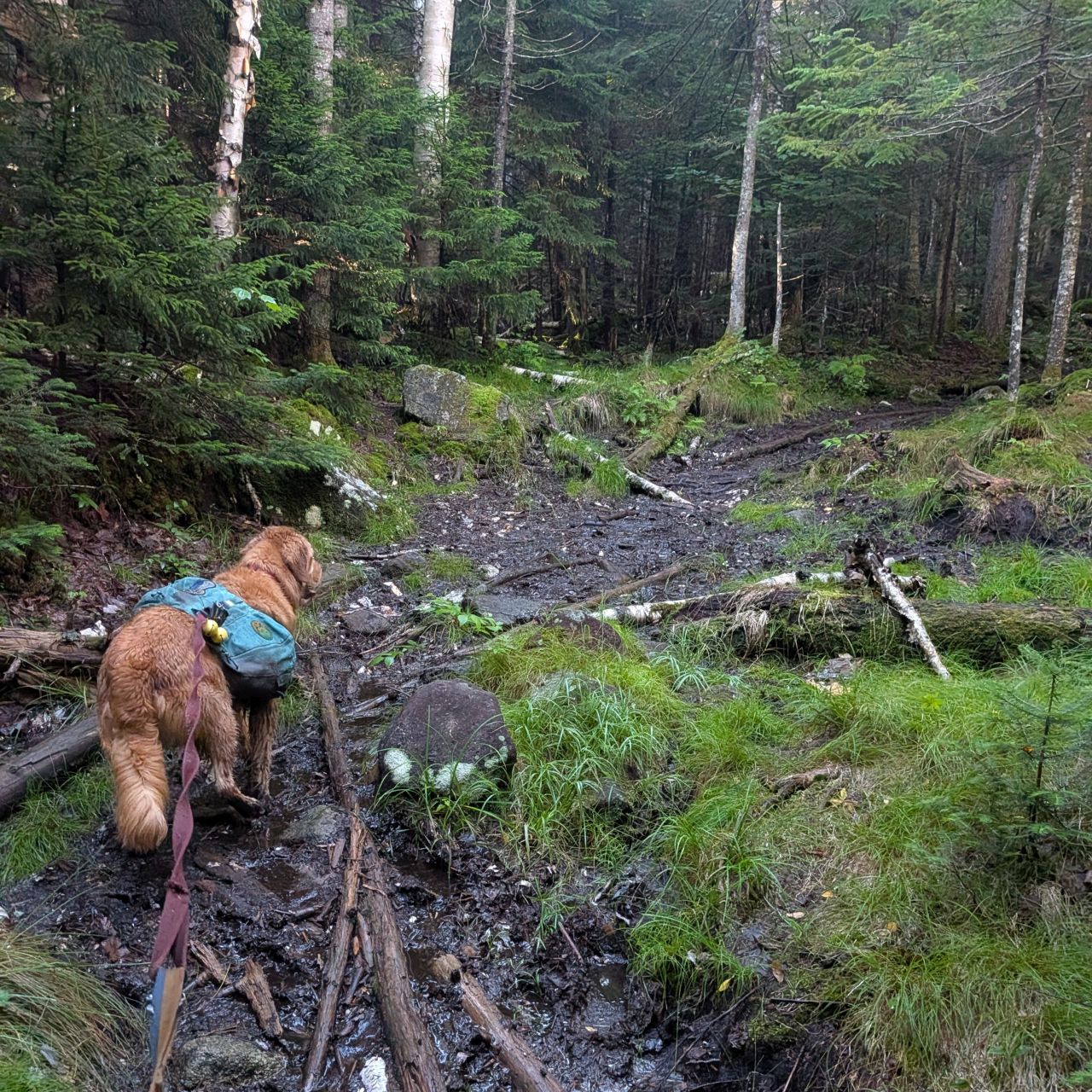
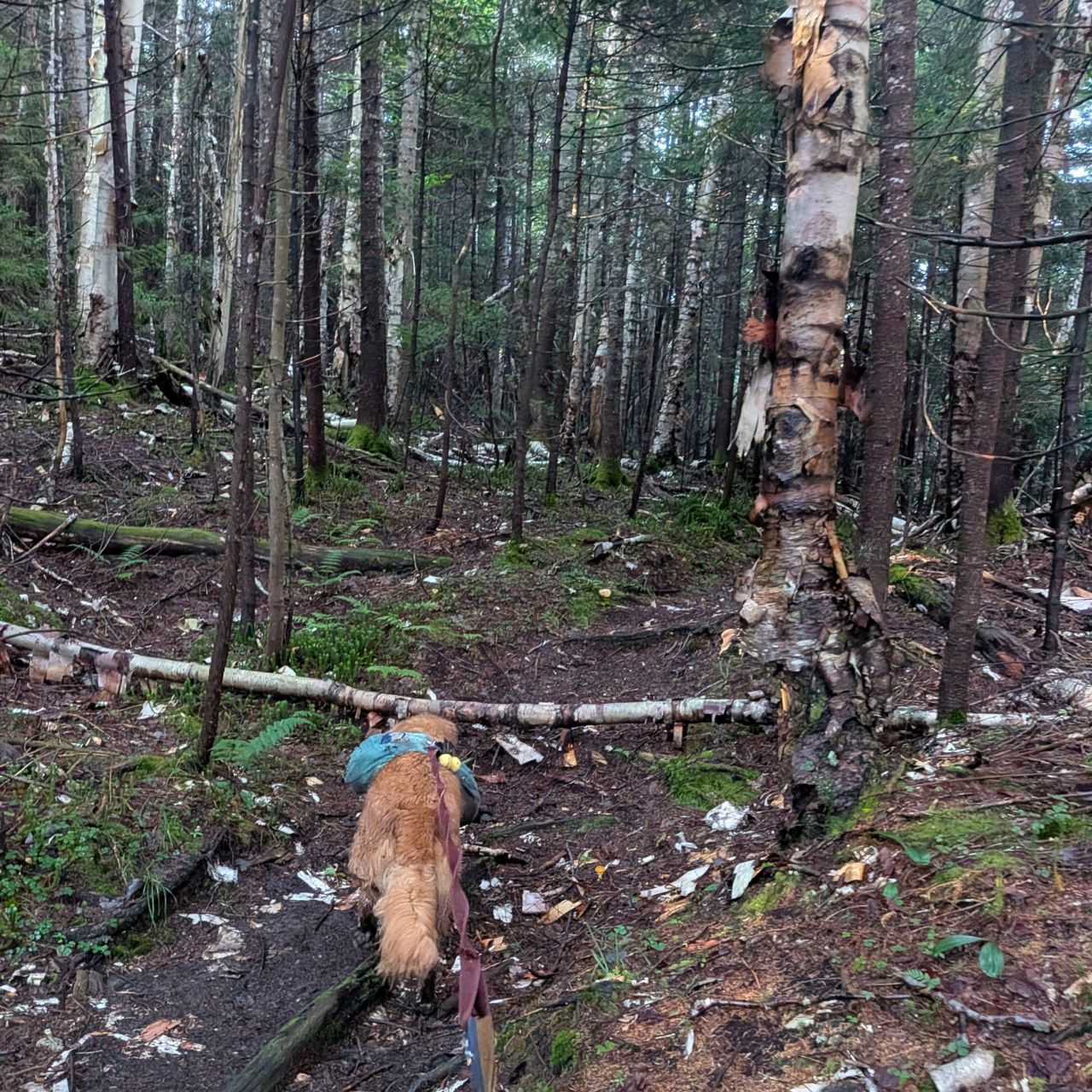
Mostly dry. It rises up to the shoulder of the mountain only 100'. It's fine. It also paths through some lovely, open forest.

It's hard to see in this photo, but the high trail ends in a bit of a steep climb down, but nothing really dangerous. I'm sure in the Winter it can be sketchy, but in the Winter you're probably taking the low road anyways.
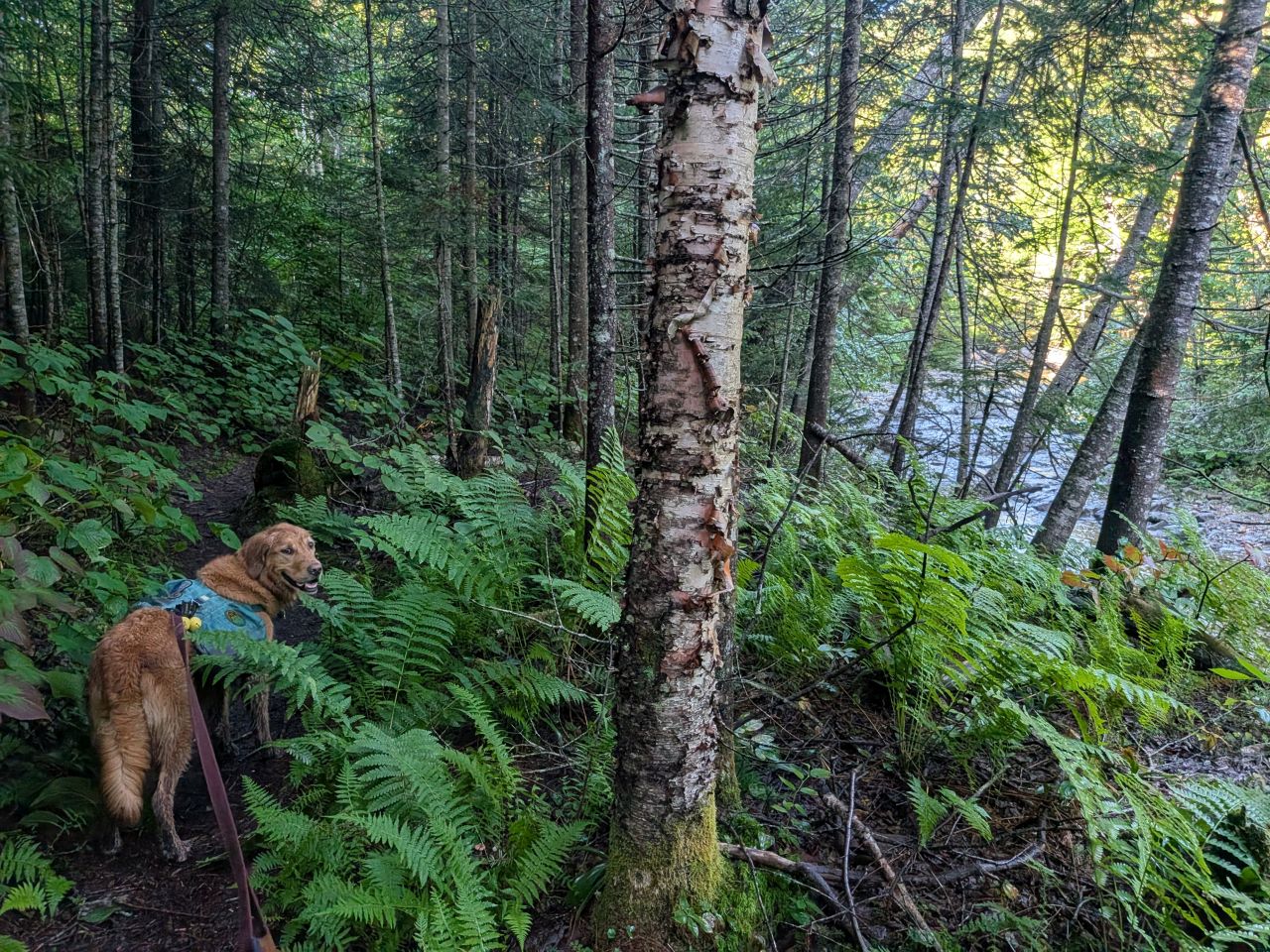
From here, the trail bends left and follows Indian Pass Brook again. The trail here quite resembles the trail as it presents itself as you approach this location from the South. No surprise there. It meanders a little, but generally stays close to the brook.
This entire section is poorly-maintained compared to the rest of the Northern half of Indian Pass Trail. Hiker erosion has created a channel cut deep into the soil, but no effort has been made to cut drainages to divert the water or provide rock work to avoid it.
We had at least 13 more miles and thousands of feet of elevation gain remaining on our day and I was not amenable to just walking shin-deep in standing water. We did our best to stay on-trail just the same.
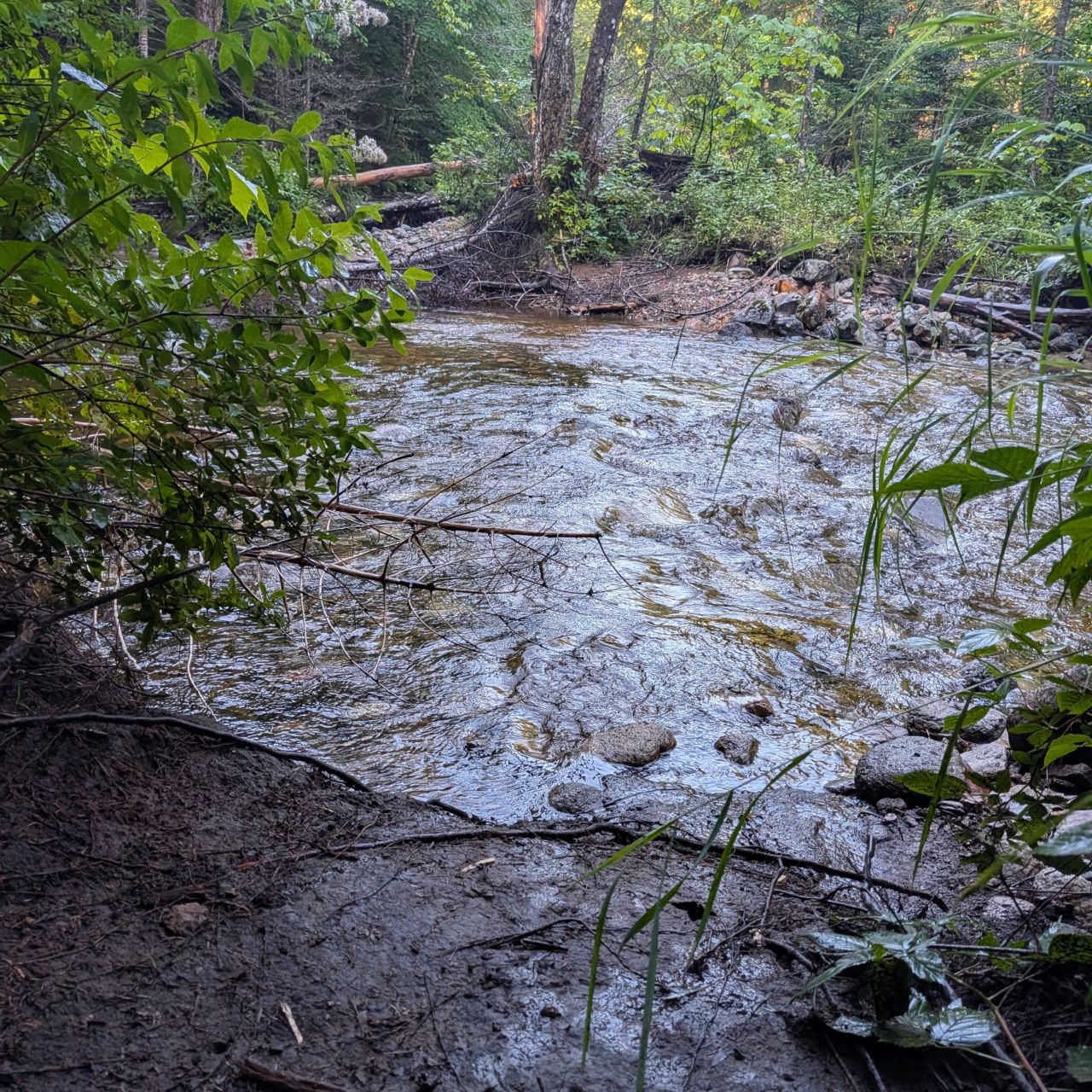
The trail never crosses Indian Pass Brook along here. There is one spot where it looks like it might, but you hang a hard left (heading South). There's also one more tributary crossing as we crossed the Cold Brook for the first time (but certainly not the last time) today.

We reached the Indian Pass/Cold Brook junction at 8:45am. It had taken us just under 2.5 hours to go from the Loj to the Wallface Ponds junction -- 5 miles which includes some messing around at Rocky Falls and a rest at the lean-to. Then it took us 45 minutes to go from there to the Cold Brook junction -- 1 mile. That should tell you how much more rugged the trail is between the junctions. I'm just glad we changed course when we did.
We were still in a positive mood, but the first big climb of the day loomed and we didn't know what to expect from Cold Brook Pass.
Cold Brook Trail to Marshall
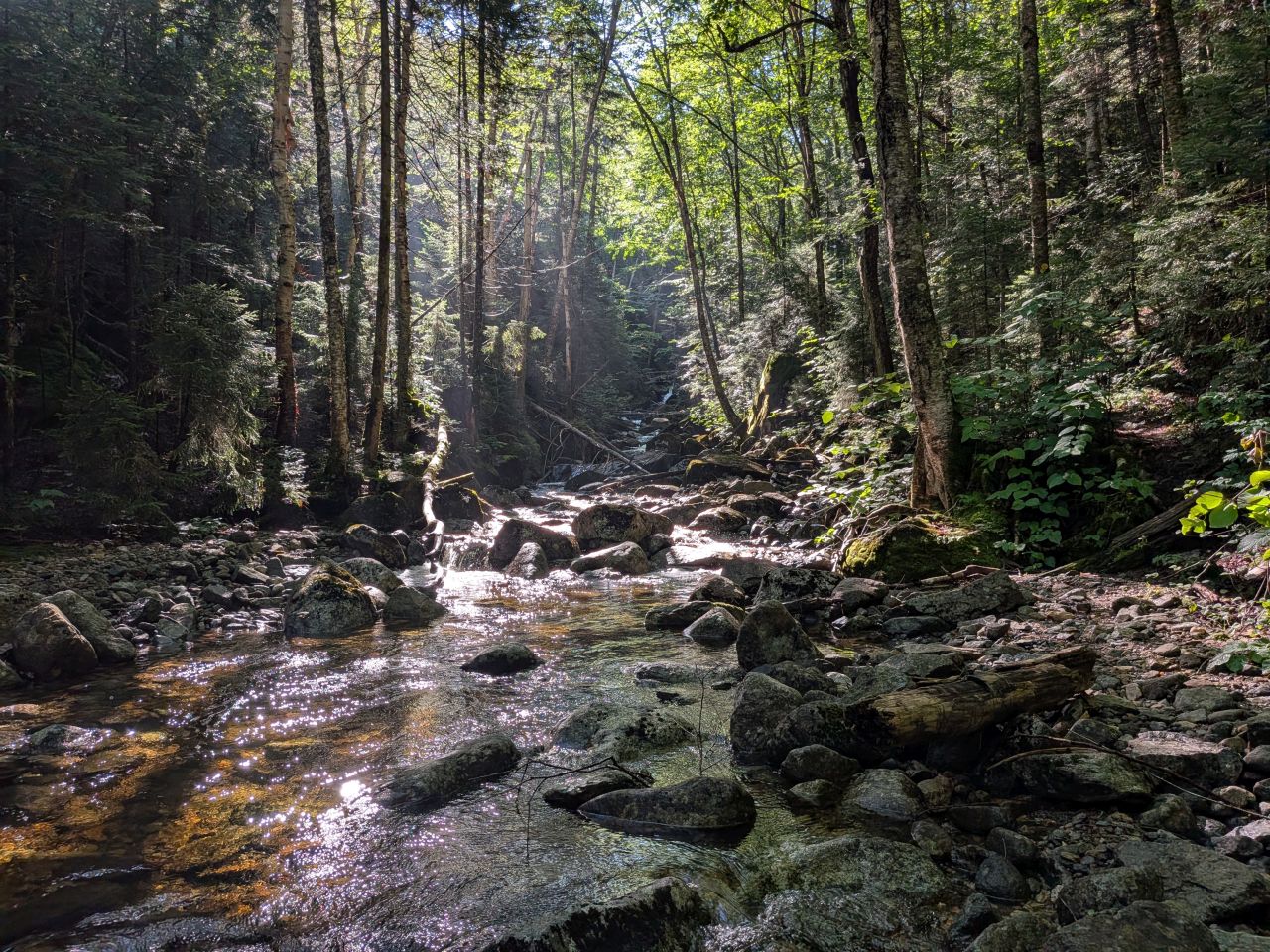
If you recall from our last trail maintenance trip, the entrance to Cold Brook Pass Trail was very overgrown and cluttered with branches. This made it seem as if the hike would be very dense and rugged indeed. Imagine our surprise when the trail opened up almost immediately, revealing the magical realm I managed to capture in the photo above.

As expected, there is some blowdown to be had going up the trail, but it's all fairly manageable. The trail is quite clear to see most of the time.
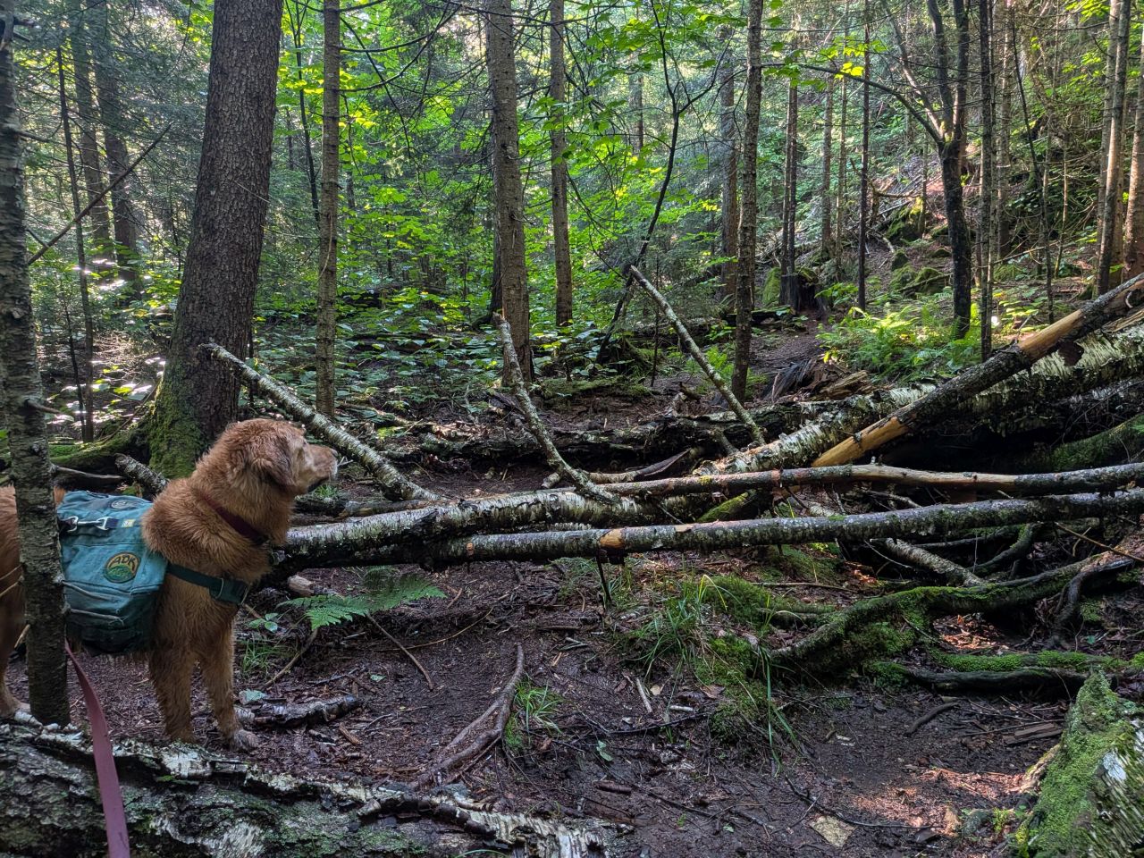
Much of the blowdown was fairly new and I can't help but think there's someone out there who loves this trail and still tries to help maintain it from time to time. I think I will, given time, also help out here during my maintenance trips up Indian Pass in the future. I'm hoping to keep my trail maintained enough that adding a few miles and a few more trees to the trek won't be a huge deal.
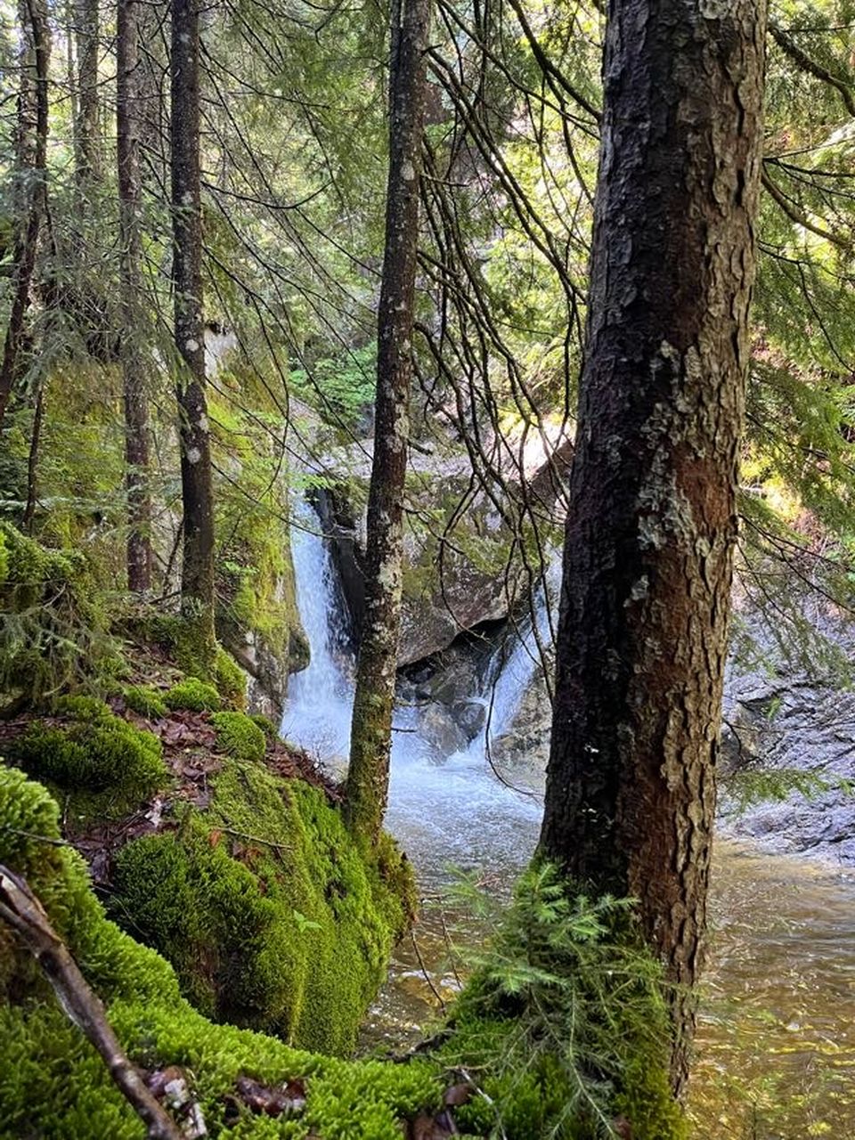
Charissa caught this photo of one of the many waterfalls on the trail. I'm sure the waterfalls are a bit less spectacular in dry times, but we'd had tons of rain last week. I wouldn't be exaggerating if I said waterfalls were a constant companion on this trail today.
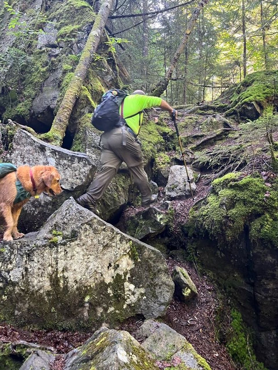
There were a few sketchy climbs on the trail, but none of it was overwhelming. Still, I was glad I wasn't alone. Although we'd seen some boot tracks, we knew this was a road less traveled.
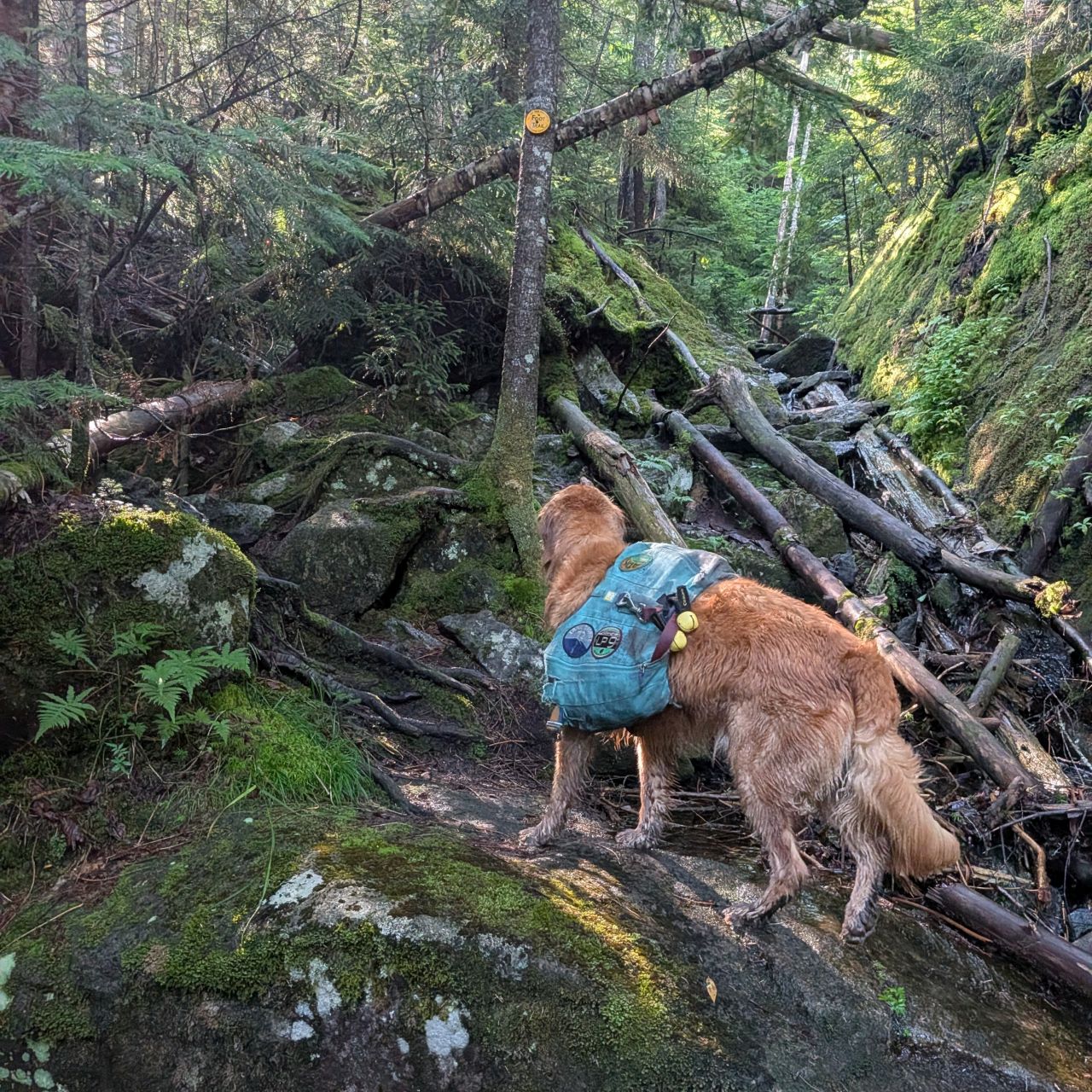
Again, there was evidence that the trail isn't as poorly-maintained as we were led to believe. The trail is still very well-marked and many of the trail markers look newer. At least, they're in very good condition. It could simply be that this is quite a dim place and the sun hasn't baked them to dust.

There was still some significant blowdown as we climbed the trail, but we never got confused by it. The trail was obvious. Having said that, the trail was mostly soft earth rather than rock or mud which added to our enjoyment of it.
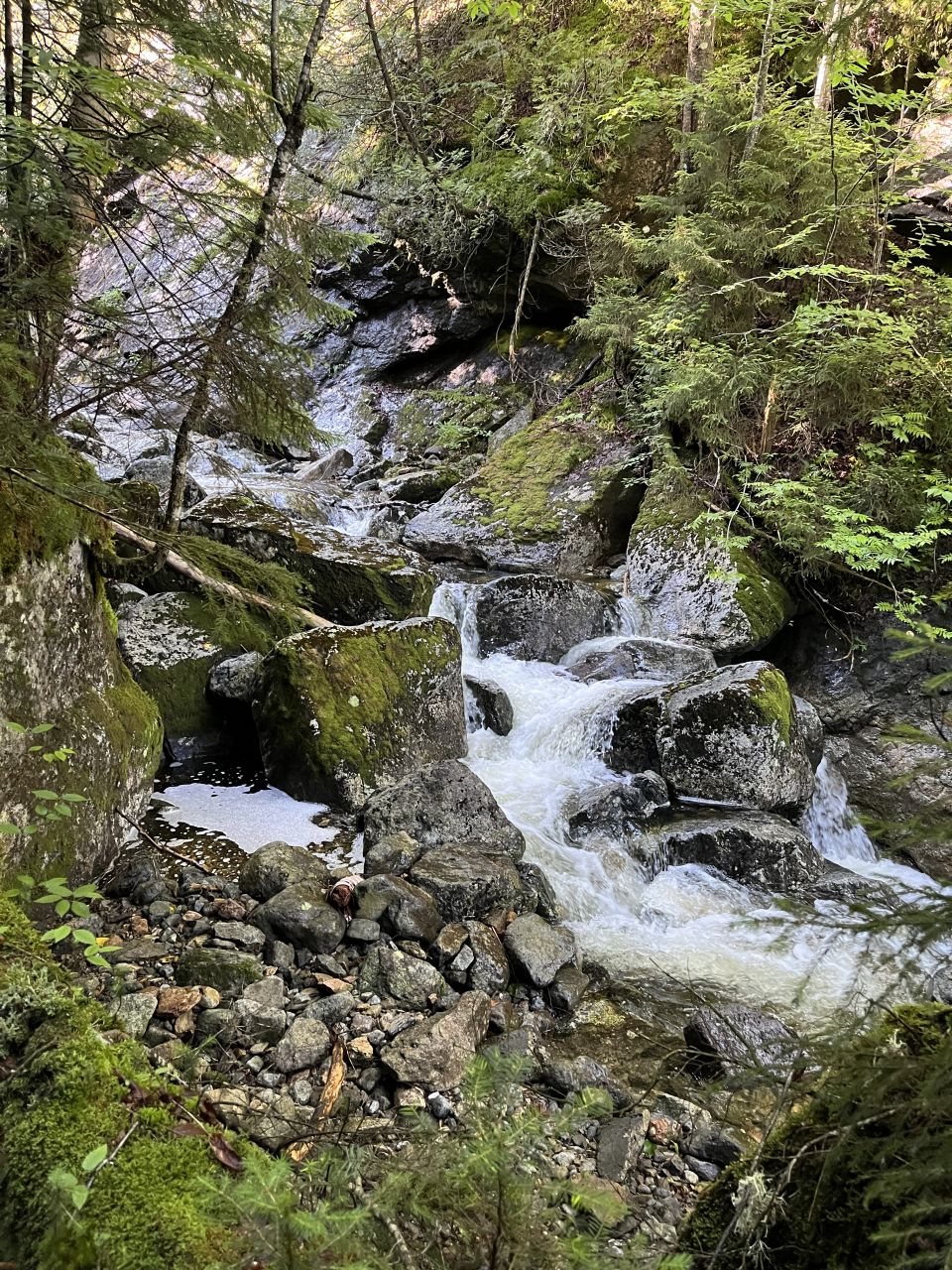
Charissa caught another great shot of one of the chunky, little waterfalls beside the trail.
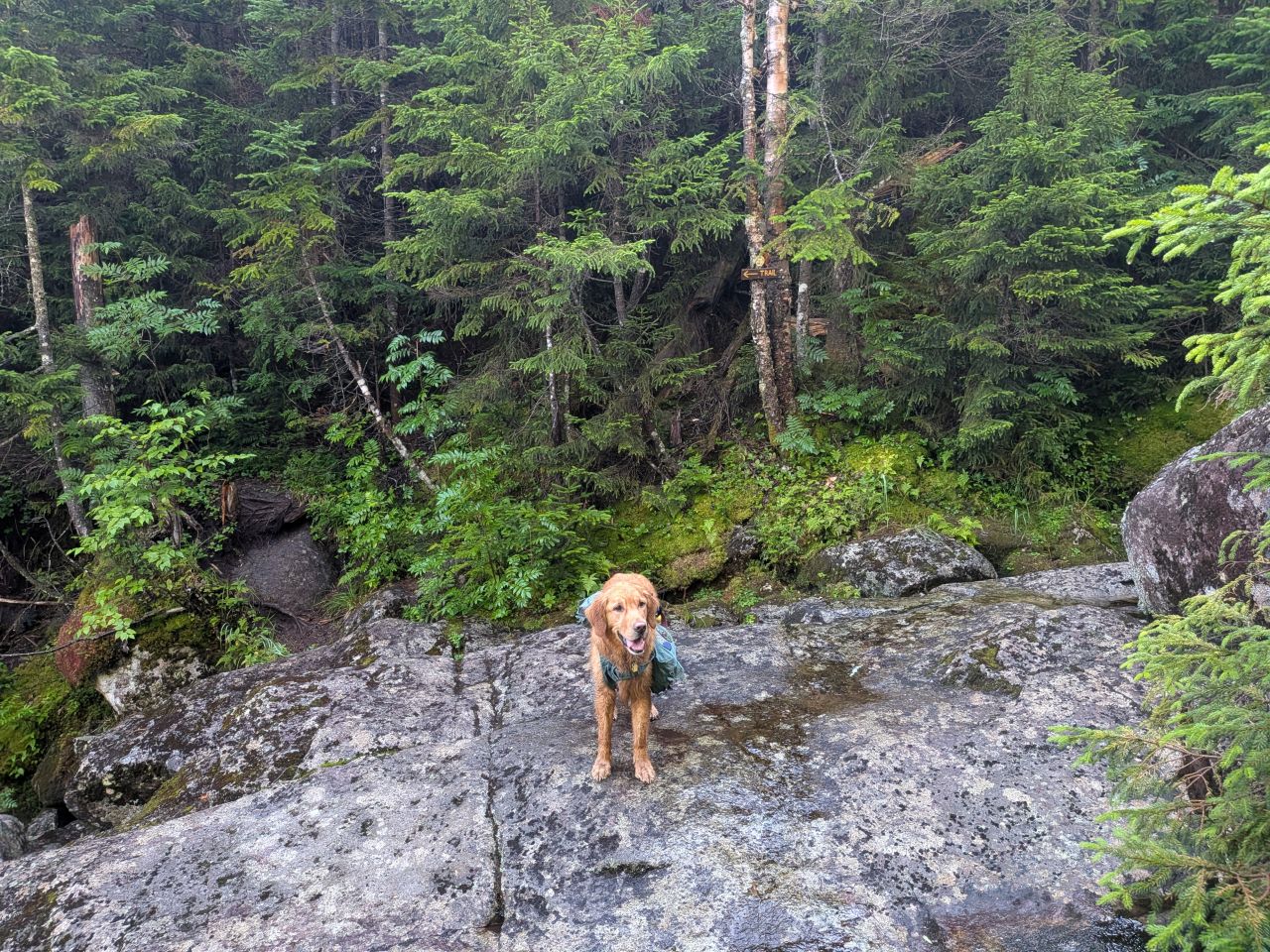
We had to cross the Cold Brook and various tributaries multiple times. This isn't a surprise considering the terrain, the brook winding close to one side of the pass, then the other, leaving little room to hike on one side, thus forcing a crossing to the other. The only confusing crossing was this one which had a sign pointing to an opening in the trees across the brook. The sign, however, also points downhill. After investigation, the trail does go into the woods a bit and bends uphill. It was the right direction.
Also of note, someone had recently (I think last year) trimmed the young branches of a tree near the opening so that hikers could see the trail better from the other side.
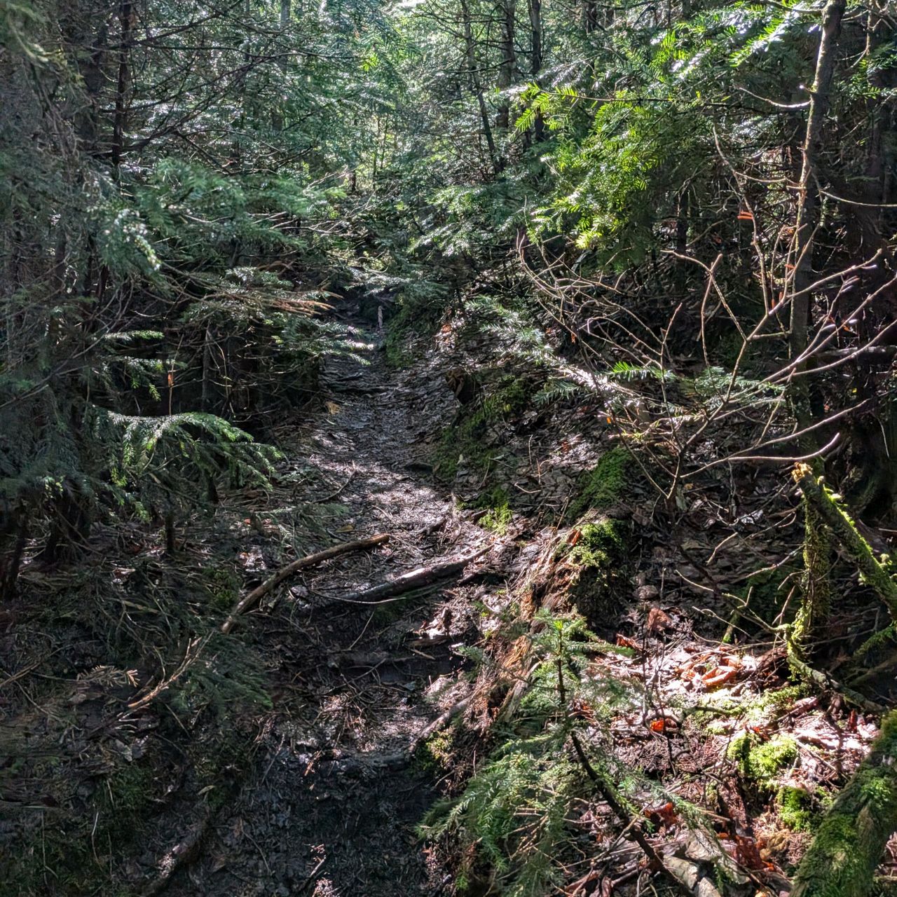
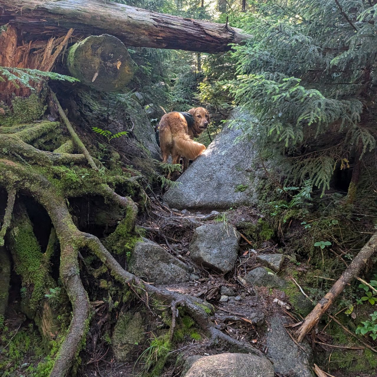
The rugged trail continued to march uphill, sometimes earthy and sometimes rocky, but always beautiful. Sunny was having a great time leaping and sniffing and splashing his way up the mountain. Destination: share of the sandwich!

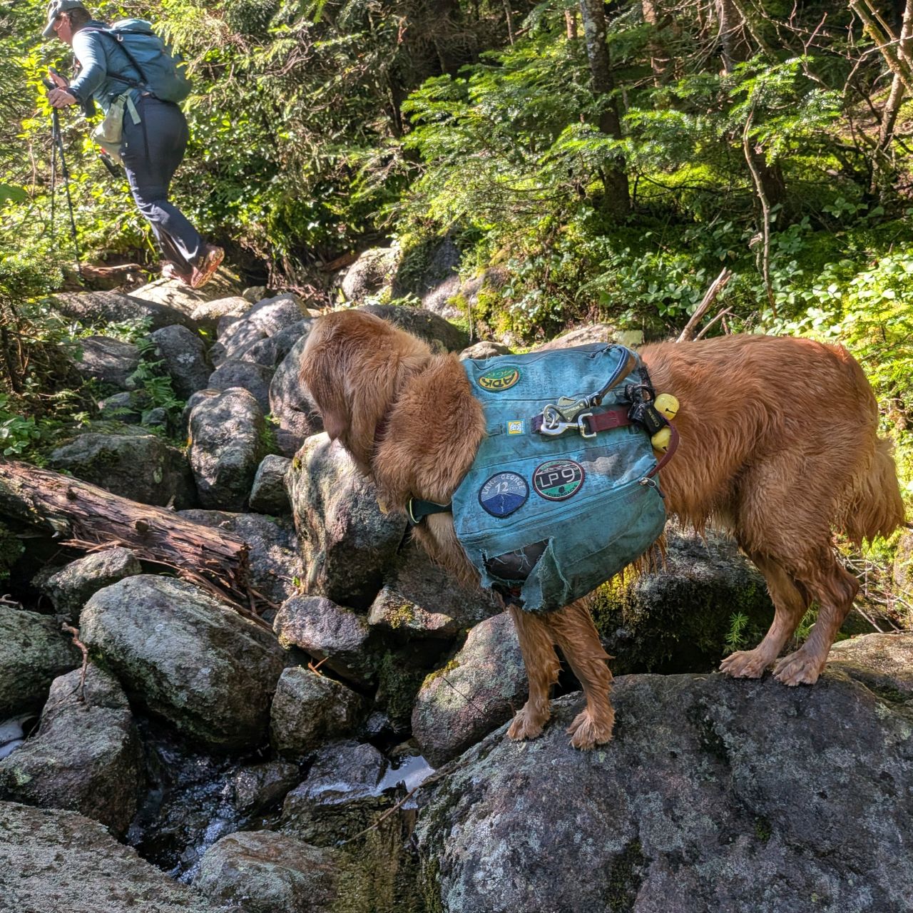
Unsurprisingly, as we gained elevation to the summit of the pass, the trail did become more rocky, but nothing we couldn't handle and nothing we hadn't seen before.
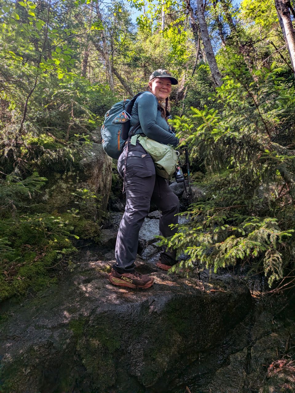
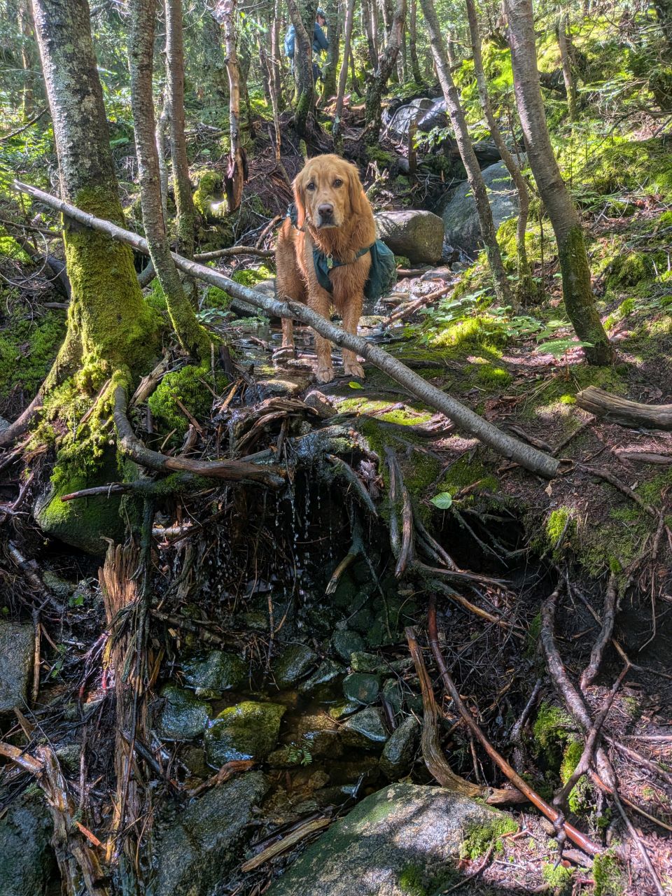
We soon came across the cairn marking the herd path to Marshall. Here, we met the hikers who'd been camping at the Scott Clearing campground. They were extremely friendly and gave Sunny lots of pets and even a few peanut butter pretzels! We had a great conversation before hanging a right and heading up Marshall.
We knew there was a false summit before the summit, so we steeled ourselves for it. The climb was rocky and root-y, but not terribly exhausting.
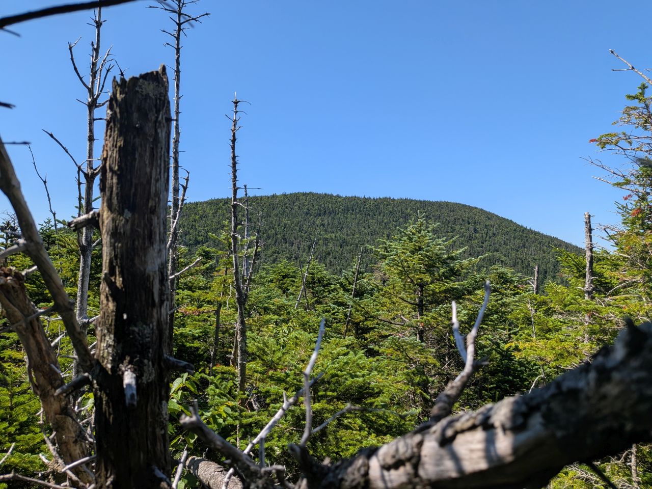
As usual, the summit seemed incredibly distant from the edge of the false summit. However, looking at the map, it was a small fraction of the distance we'd already covered to climb up Cold Brook Pass.

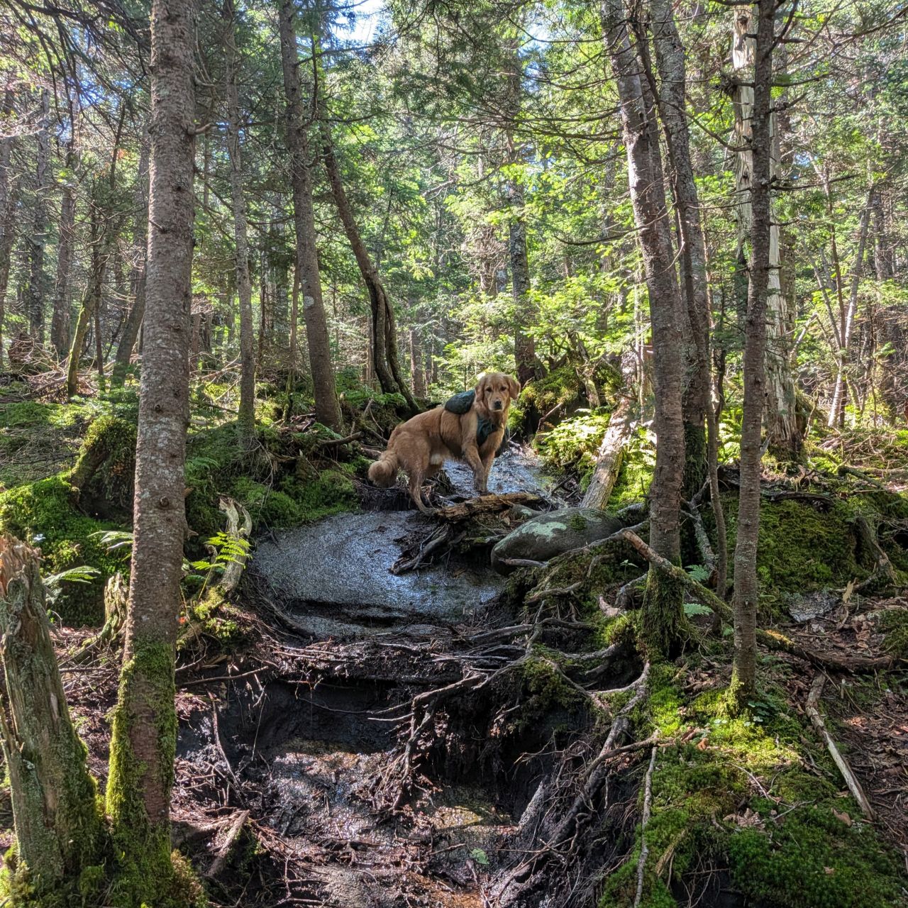
Down we went over slabs, rocks, and roots. Sunny was still in high gear. It was at this point, however, that I wished I'd brought another helping of his high energy food. I'd still give him some people food, but I thought he'd want more before the day was done. I should keep some pouches in my snack pack at all times.

As we approached the summit of Marshall, we were greeted with the best view of Iroquois I've ever had. What an incredible vista we got from the top of this slab. You can also see, in the foreground to the left, Marshall's false summit which we'd just left shortly before.
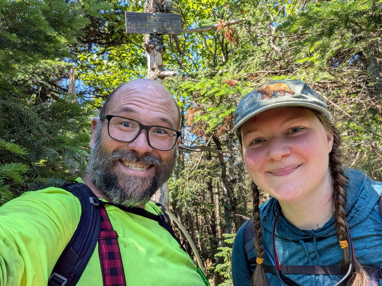
We reached the summit of Marshall at 11:30. The herd path from Cold Brook had taken about an hour and the entire climb up from Indian Pass had taken us 2 hours and 45 minutes. Considering that's two and a half miles and about 2000' of total gain (thanks to the false summit), I'd say that's pretty damn good. I messaged Wendy and told her we were ahead of schedule by half an hour and expected to be on Iroquois within 4 and a half and 5 hours.
I have to say that the approach to Marshall from Indian Pass via Cold Brook Pass is currently my favorite. Cold Brook Pass alone is worth the trip. It is a verdant place full of water, life, and rugged beauty. I highly recommend it.
Herbert Brook on the other hand. Well...
Marshall to Lake Colden
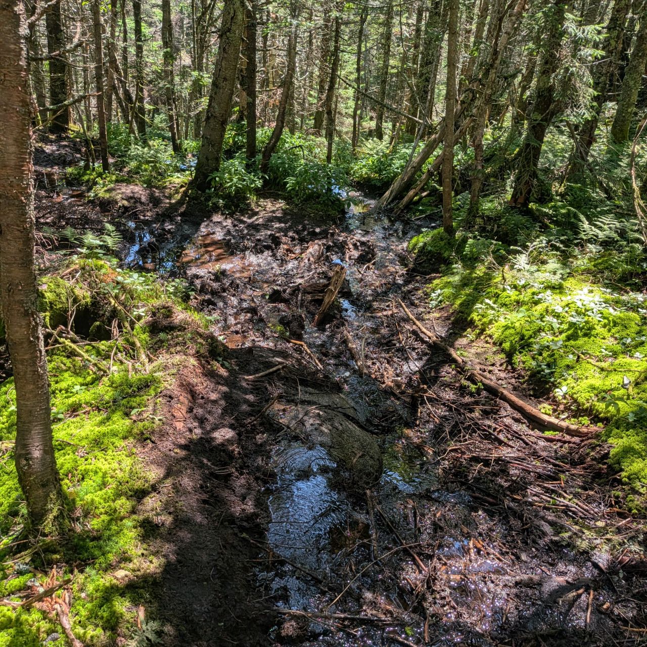

The top half of the Herbert Brook trail is absolutely destroyed from erosion. It's even worse than it was when Sunny and I had visited here in 2024. Part of that I know is willful, but it's also because it is so difficult to follow where you're supposed to go up here. I know that the DEC can't designate every High Peaks herd path an official route, but we absolutely need some boardwalks up here to keep people off the peat bogs. The bogs are so beautiful, so fragile, and so very essential for the healing of the High Peaks that I think it's important to protect them.

Today's "wow that's a nice waterfall" theme continued on Herbert Brook.
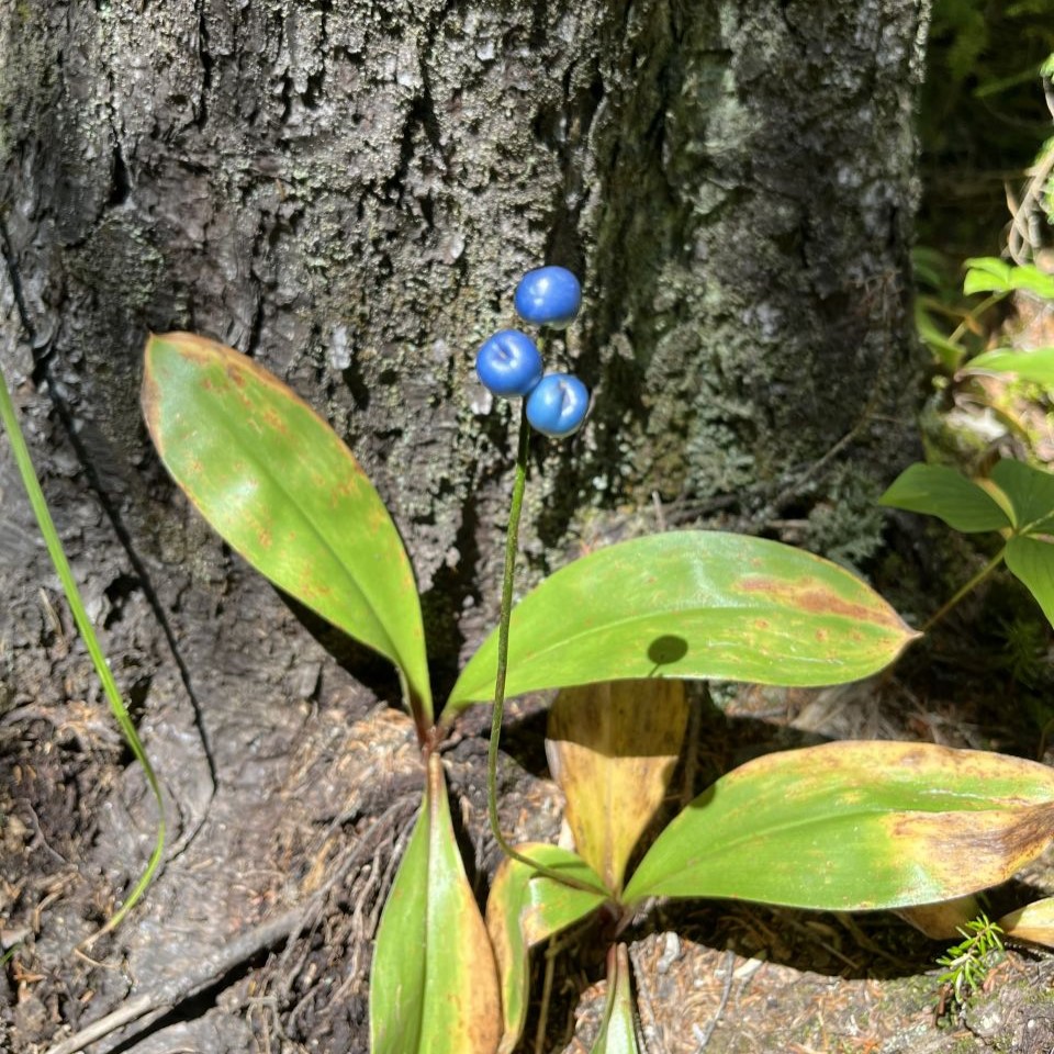

We saw more plants like this Bluebead Lilly and also more mushrooms like these Tawny Grisettes. Honestly, hiking would be so much easier if I had the equivalent of a spore drive from Star Trek: Discovery.
We reached the bottom of the trail a bit later than I'd expected and the steep, muddy descent had taken its toll on us. Although we crush ascents no problem, neither Charissa nor I enjoy descents. It's all very hard on our old bones!
We stopped at the Herbert Brook/Calamity Brook junction and rested at the new bridge for about twenty minutes. Here, we changed into dry socks and ate more sandwich. I also filtered another 3L of water and filled a little extra for Sunny.
A fellow hiker stopped to chat with us (someone from Charissa's alma matter) and told us that he just came down Algonquin Trail and the entire thing is a stream bed. This relieved as much as concerned us, honestly. It's always nice to have water nearby for Sunny and it tends to cool things off a bit as well. We knew the climb up would be steep and, therefore, exposed.
Related to that point, I'd forgotten my hat! All day I was re-applying sunscreen on my face, ears, and baldy-head, sweating it off, and repeating. I will never forget my hat again!
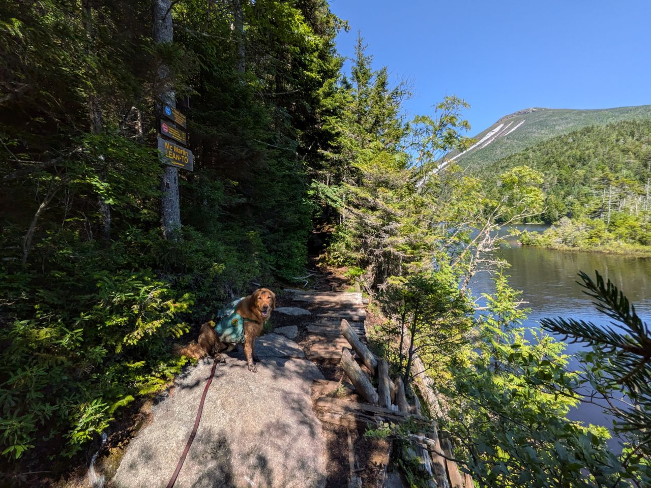
We were on our way at around 2pm. I'd never been very far down the trail beside Lake Colden before and I was quite interested to see all the infrastructure over here. Much of the trail itself is fairly beat up, but there are loads of campsites. It's no surprise considering the beauty and access provided here. We didn't climb up to the lean-tos, but even if they don't have views, gorgeous views are very short walk away.
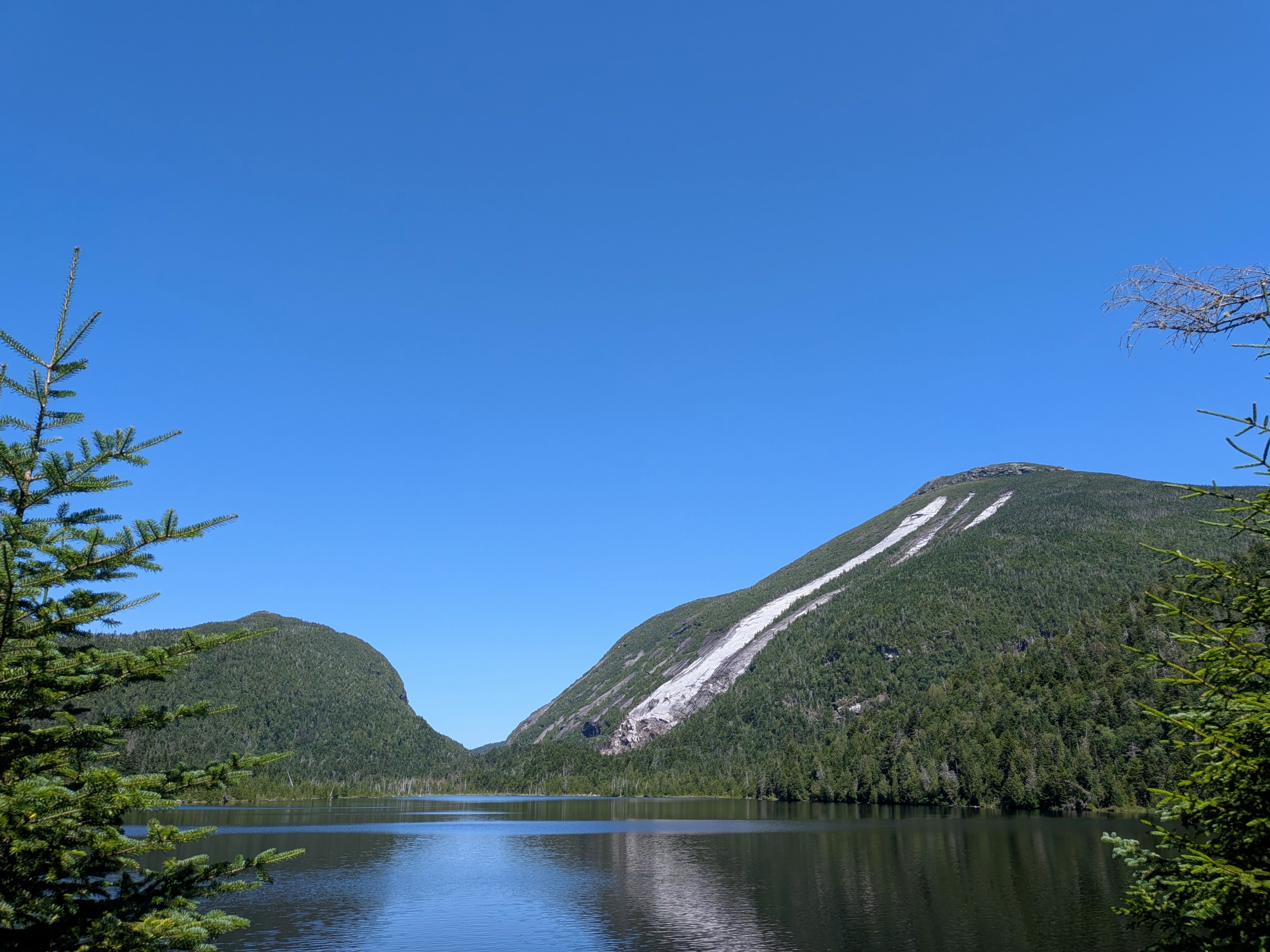
Stunning.

This is one no-camping disc I agree with. This clearing provides fishing and boating access to the lake. I had to really work to resist the urge to sit in this person's chair!

As we passed the information board at the Interior Outpost, we heard sawing and hammering. I saw some framework going on beyond the trees. We didn't go investigating.

After crossing the beautiful, new bridge over Algonquin Trail's brook, we finally came to the junction. The sign pointing towards Algonquin proclaimed 2.1 miles and 2300' to Algonquin Summit. Charissa and I weren't ready to think in those terms just yet, however. We were focused on the 1.5 miles and 2000' to the ridge.
It was 2:40, our feet were aching and we had six hours of daylight left. Still, it was about as perfect an Adirondack bluebird day as we could have ever asked for. We were more than up to the challenge.
Route Map
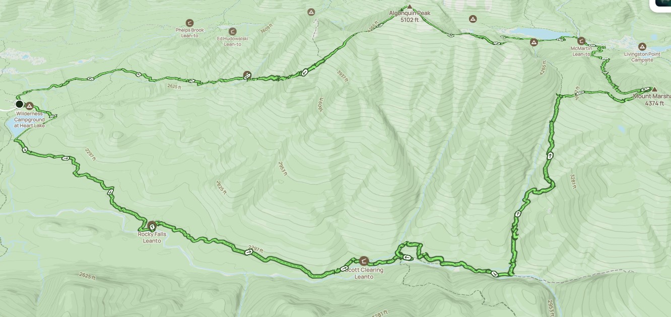
Macintyre_Range_from_the_Loj_via_Indian_Pass.gpx (456.95 KB)