


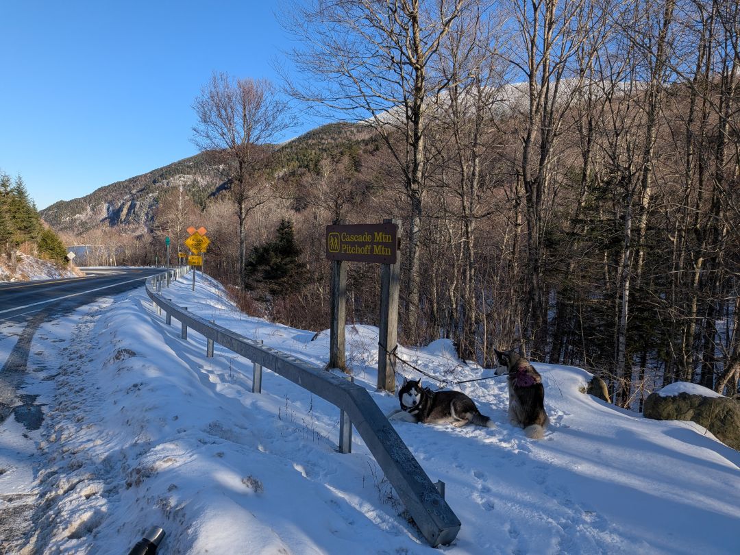
Dan, the dogs, and I waited at the Pitchoff East trailhead while Mark and Jay delivered one of the cars to the West trailhead. Although going East to West would feature a bit more elevation gain, visiting Balanced Rocks at the end for the big payoff (and hopefully lunch) seemed the thing to do.
We were geared up and signed in by 8:30am. There was a bit of weather at this time, but we had high hopes it would clear up soon.

There wasn't a whole lot of debate about footwear at the start. It was clear snowshoes would be a burden at first. The snowshoes did come along for the ride, of course.
Straight Up

It wasn't long before the initial light elevation gain began. The guys let Sunny and me take point and he did a pretty good job staying on task.

It didn't take long before we needed to stop and swap out gear. I'd thought for sure I'd need my jacket for this hike, but I didn't. I stuffed my jacket in my pack, but retained my windbreaker in an effort to keep the moisture off me.
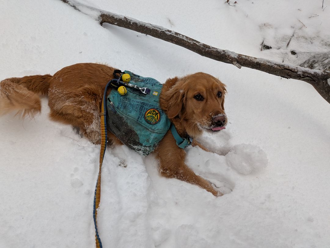
Sunny was in heaven. I'd forgotten my trekking poles, so I actually kept him leashed to help me up the mountain a bit. (Rude!) I'd forgotten the Musher's Secret, so I was forced to use the roll-on conditioner I had in his pack. It was clear during this hike that the Musher's Secret is a vastly superior product. I had to clean snowballs off his feet countless times this day while I'd hardly had to touch them on the McKenzie.
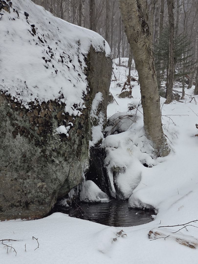
As last week's hike, many of the springs were still running warm. Jay caught this photo of a little waterfall pooling water under a boulder. I managed to slop in mud once or twice on the ascent, but didn't get my feet wet.

The real climb begins about .7 mile into the trail. It's a pretty steep drainage climb. I tried to keep a steady, deliberate pace up the mountain. I really didn't want to end up gassed out before we hit the ridge.

The trail marker situation on this trail is spotty at best, and not just on the West side. I suspect the trail is so popular and eroded that in warm months it's super easy to follow.

Sunny and I did our best keeping on the trail, but I know there were a few times we were rock-hopping the stream when the trail was on a bank, or zig-zagging up crusty snow when the trail was elsewhere. Still, we always got back. The snow was not deep at all and there was so many rocks and so much ice that it would still have been extremely pointless or even dangerous to switch to snowshoes. I suspect things might be different after this week's snow.
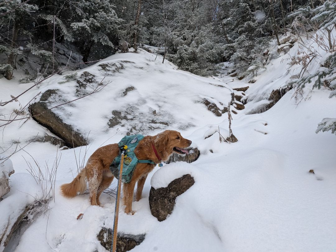
We came into the pines just before 3000' and the trail started to even out a bit. It climbed steadily but less steeply through thick evergreens. We did find some drifting here, but it was absolutely not worth the time to switch between spikes and snowshoes for five or six paces worth of powdery drift. I just sloshed through it. I did my best to keep the snow out of my boots, but in time, the wetness did seep in.
I really need to invest in a good pair of gaiters.
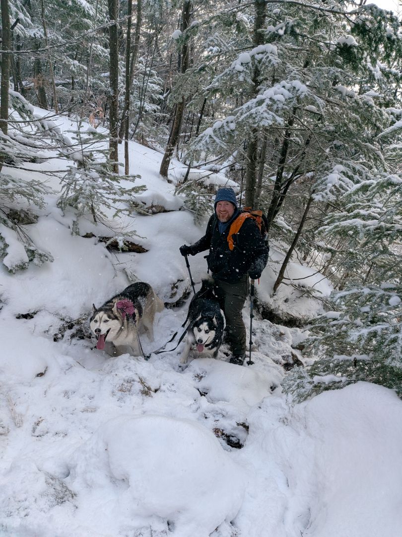
Korra and Zuko were having a blast pulling Jay up the mountain.

I finally let Sunny off-leash and he happily bounced around the trail. He and I both quickly grew ice beards. The air temperature was 15 degrees Fahrenheit, but the wind was fortunately low and we were working hard.

After a short flattish walk along a rockface, the trail makes a hard left up a natural switchback. I missed it at first, but we got back on track. The steepness of the ascent increased yet again as we rose towards the first overlook.
The Traverse

At first, the distant mountains were all shrouded in blowing snow clouds. However, as we crested the summit of the first little peak, the sun came out and gave us a clear view of the range before us. Well, enough of a clear view that we could easily mistake the distant peak for Pitchoff itself and not the big false summit before Pitchoff. Hilarity and hijinx!

We swiftly descended down icy rocks into the col where we found a little more drifting. One of the signs was whacked off its tree, but I was able to slam it back in. That tree is super dead, so I assume it'll blow off again in the next big gale.

The trail wound around a bit through some denser trees, but we found our way to the next lump in the range. Sunny was really doing a good job of using his nose to find the way now. It's easy for him up here because there are far fewer animal smells to distract him.

The climb up to the big false summit was tough. There was a lot of ice and the very steep parts were quite difficult. Sunny managed much of it fairly well, however we both needed a hand getting up the section pictured above. Were I alone, I would have definitely needed to use our long cable to get Sunny over it.

Let's go!

We were still ready and willing for any challenge. The sun was shining and the wind was low. The temps had risen to a balmy 18F!


The skies had all but totally cleared by the time we reached the first big false summit at around 11:20AM. Mark and I remarked how much nicer these summits were than the actual Pitchoff views. We were all glad to have hiked the traverse today.

However, time was fleeting. The climb had taken much longer than we'd planned, so we were quickly on our way.

Jay snagged this shot of Sunny and me at the next false summit fifteen minutes later.

The trail from the last false summit to the Pitchoff overlook provided ample opportunity for views of Cascade mountain and, in the distance, Giant Mountain.

With all the really arduous work behind us and the sun shining, we were all in great spirits. We just had a bit more elevation gain and woods to muscle through before the summit. That last climb was a bit of a slog, however, and Mark suggested I needed a snack. I agreed; it was noon and we had been walking over ice and through snow for three and a half hours.
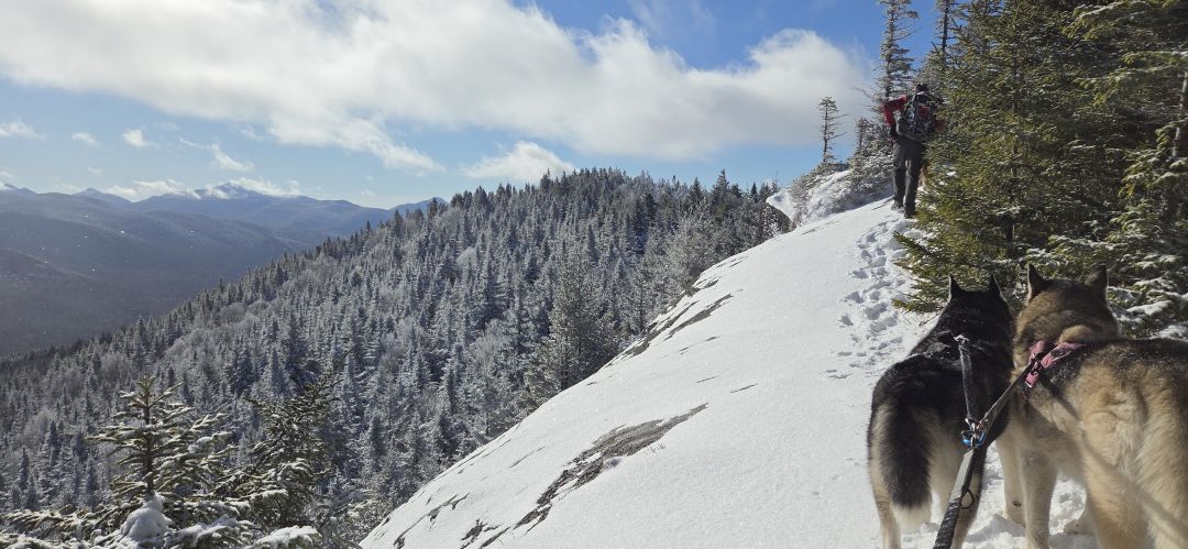
Jay snapped this photo of what I believe was the most scary part of the trail. It curls around one side of a small hump. I'm sure this is usually quite safe bare rock, but with ice and snow, I was one heartbeat away from my knees knocking. I methodically made sure every footfall was secure in the ground in front of me and I had a hand free for grasping at vegetation if I needed it.

We came to the overlook on the East side of Pitchoff at just past noon. Here, I pulled off my pack and started slamming my PBJ and some water. Without realizing it, I'd made the command decision that now was lunch time. I really needed the fuel, though, and these were the best views we were going to get until Balanced Rocks. Cascade and Giant were now glistening under crystal clear skies. Anyone hiking those mountains would be having a really incredible summit today.
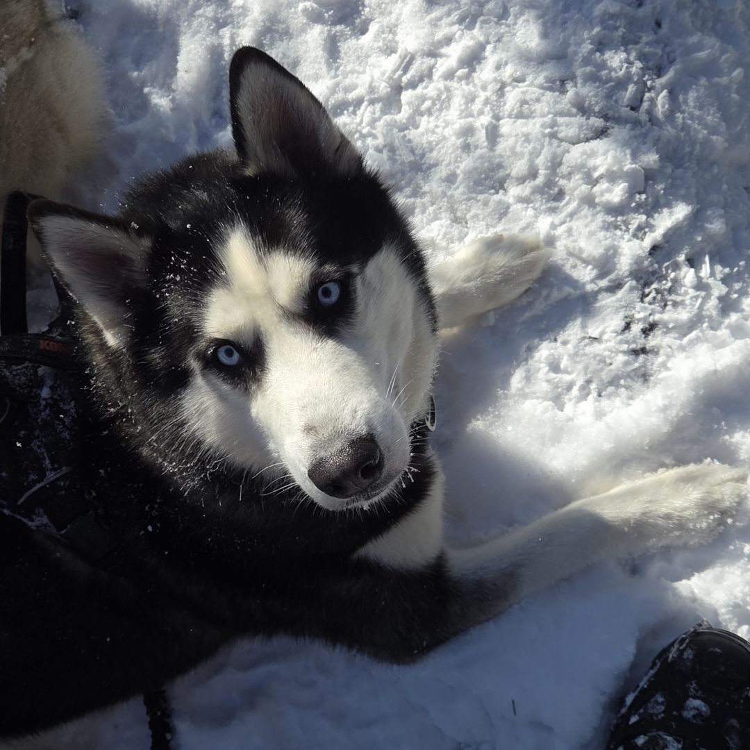
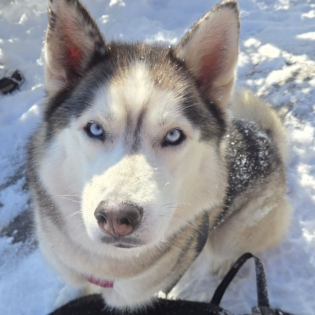
Korra and Zuko were still having the best day ever.
Balanced Rocks and Descent

We quickly descended from Pitchoff to Balanced rocks, arriving at 12:45. I assured Dan that I got a group photo of all of us looking into the camera, but apparently I lied. Every time we hike in Winter, I swear I'm getting lasik surgery because I'm real tired of my glasses fogging up.

Jay managed to get the obligatory "standing on a rock" photo of Sunny and me.
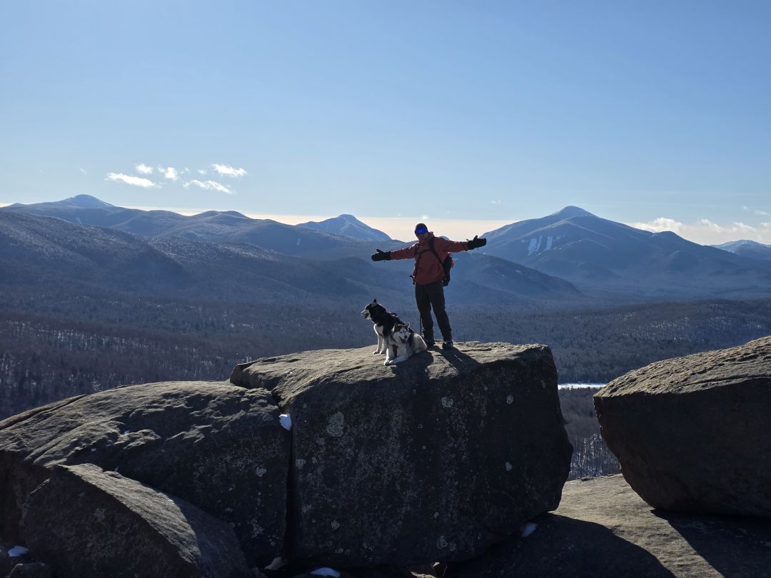
And I got one of Jay.

Although I'd brought my chair for Balanced Rocks, we really had to get going so we could meet our obligations at home. We were packed up and back on trail before 1pm.

We flew down the mountain. Without my trekking poles, it was almost always safest for me to butt slide down a long patch of snow or ice, or do a "sit and drop" maneuver rather than a short jump. I managed to not hurt myself, but my left knee did start twinging up on me a few times during the descent.
As you can see from the photo above, I actually removed my glasses for much of the descent. I'm nearsighted and I often had better vision for the obstacles coming up without the fogged up or sweating glasses on.

I remembered a big, steep rock scramble from the last time I was here and Jay got an obscured photo of the general area of this section of the hike. It wasn't a whole lot more difficult this time around. When we descended to the col between Balanced Rocks and another little lump in our way, we got a little off-trail, but soon found it again. I honestly didn't recall there was one last PUD to climb over before the final, gradual descent back to the road.

Sunny was completely unbothered by the extra miles. He was now racing through the forest, chasing after smells of fox, squirrel, and who knows what else. I knew we were coming on some private property soon, but I was too sore to clip him on for the descent. I didn't clip him until we saw cars glinting through the trees below at around 1:50PM.
Dan and I waited at the Western trailhead while Mark and Jay went to fetch the other car. We had conversations with a couple of hikers and each other in the mean-time. When the cars returned, I pretty much stripped down and replaced most of my clothes with dry garments. I'd gotten super cold standing in the valley above the lakes with cars rushing by and I wanted as much wet gear off me as possible. It was a glorious feeling to defrost in a warm car with my slippers on for almost two hours.
Winter?

It feels weird to mark these adventures as "Autumn" when they are clearly in Wintery conditions. Still, the snow depth was such that it wasn't quite full-on Adirondack Winter. Those kinds of adventures will be coming soon enough.
After this hike, I'm still dubious how much distance and elevation we'll be able to tolerate in the snow, especially properly deep snow. I know this hike wasn't pushing Sunny's limits except for the fact that I conditioned his paws with a substandard product. I think he'll be able to tolerate 8 to 9 miles without trouble, however I may want to ease us into it.
At the very least, we'll continue working on our Saranac 6 and Lake Placid 9er. For the former, Sunny and I still need Baker, Scarface, and Saint Regis. For the latter, we still need Baxter, Mount Jo, Catamount, Cobble Hill, and Bear Den. Many of these can be hiked multiples in one day or one at a time with Quinn. I suspect we'll be finished with these by the end of the winter.
If we can get out to do some short High Peaks, we'll try it. I still may leave Sunny home for those depending on how other hiking goes this season.
Route Map

Pitchoff Traverse Part 1.gpx (65.46 KB)
Pitchoff Mountain Traverse Part 2.gpx (221.99 KB)