


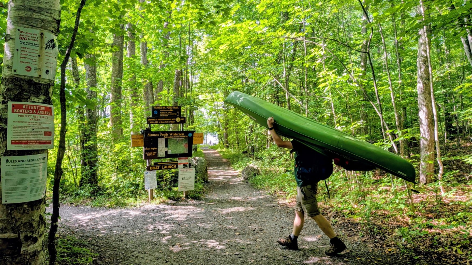
Saturday was looking to be a gorgeous late Summer day. The temperatures were in the mild 70s and the humidity was thankfully abating. It stood in stark contrast to last year's heat dome.
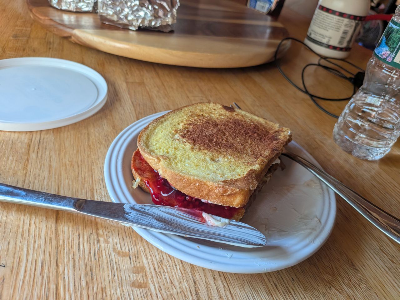
Every year each person picks a meal to prepare during the holiday. This year, Dan was doing breakfast on the morning of our adventure, preparing stuffed french toast. Not only was it a great breakfast, I prepared myself an extra sandwich for the hike.
Paddling 13th Lake
We arrived at the lake before 10:30am. There was enough parking remaining for our two vehicles, but the trailhead was quite busy. There is a lot of camping along the shore of 13th Lake and it seemed like a popular destination in general. The lake is quite accessible and motor craft are not allowed making a perfect destination for our diverse group of adventurers.
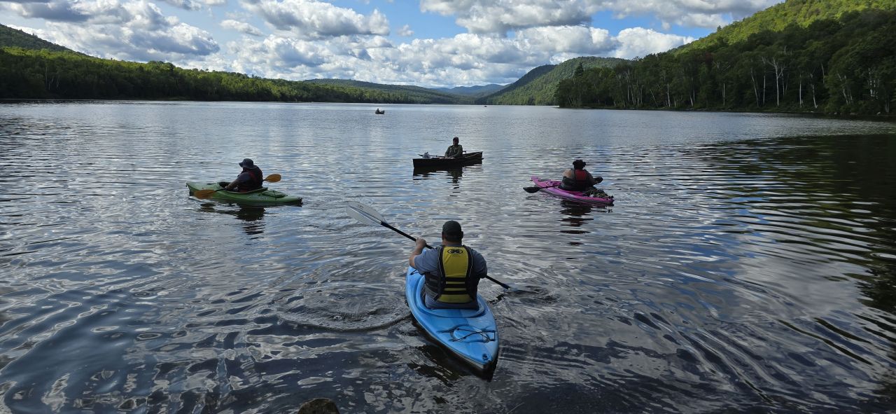
After sorting around our gear and applying both sunscreen and bug spray, we were soon shoving off. Dan snapped this shot of Erin, Brandon, Jay, and me in our boats, Jay in his super canoe and the rest of us in kayaks. Dan would hike the mile or so along the shore, meeting us at the Peaked Mt. junction near sites 8 and 9.
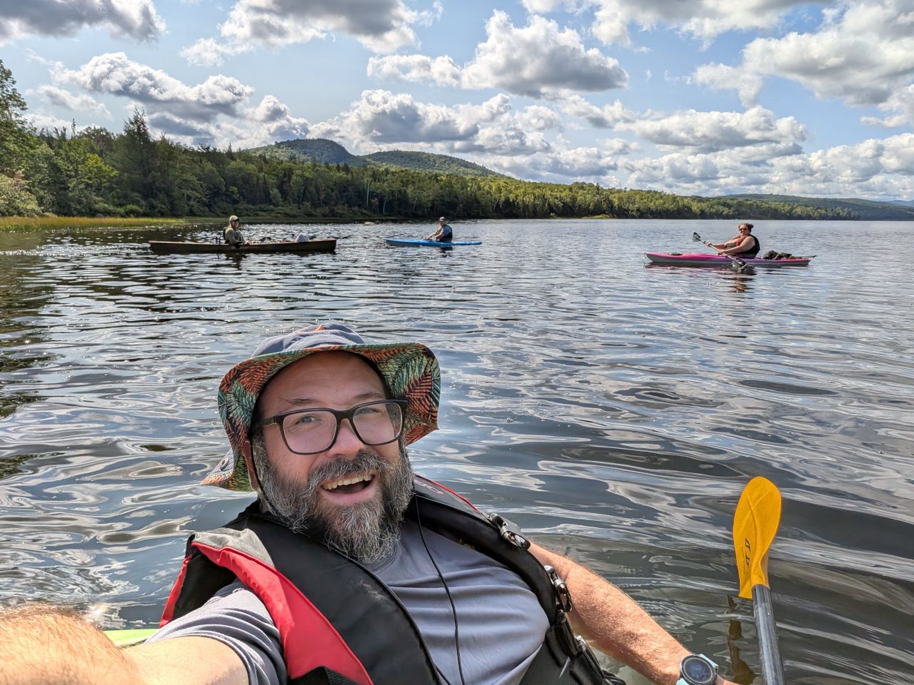
We were soon paddling along at a cheerful pace. The day was absolutely perfect for this activity.
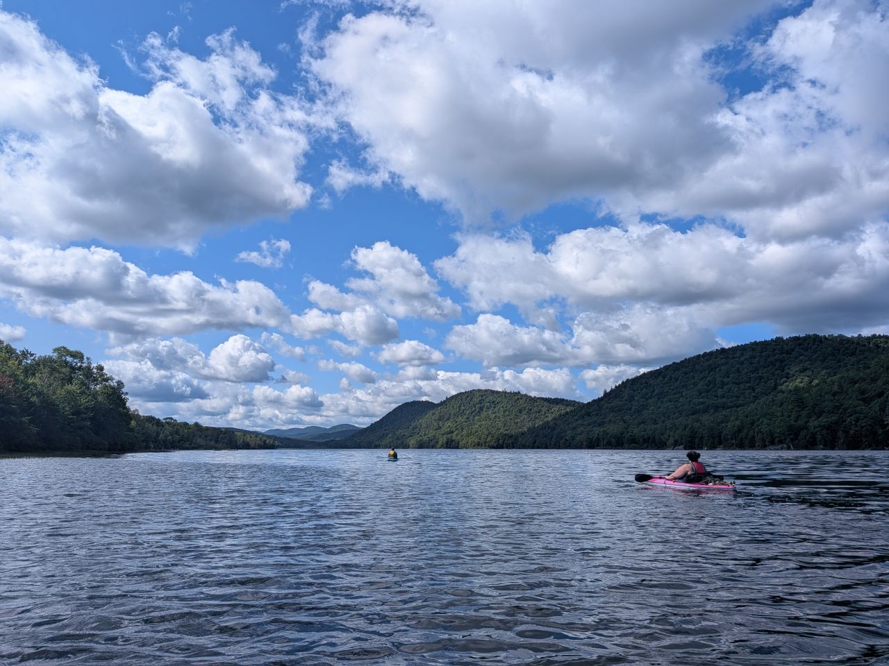
I paddled along at a leisurely pace. Jay's canoe cut through the water like butter, but he kindly let us tag along with him. The wind was in our faces, but it wasn't strong; nobody was struggling. We were all living our best lives out there.
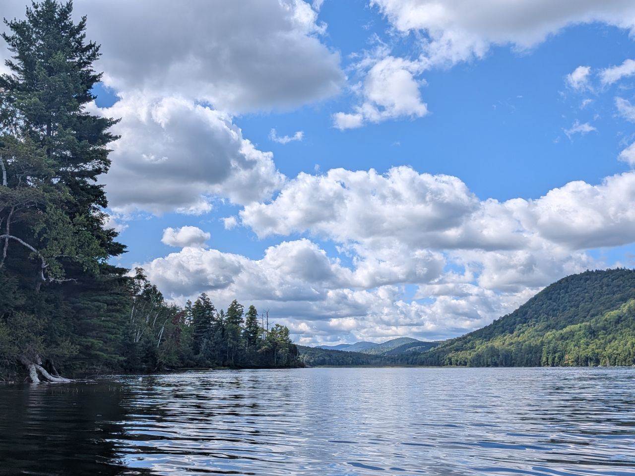
The water was clear and cool; we were able to see to the bottom of the lake several meters from shore. Boulders peeked out from the surface here and there and little clusters of lily pads gathered along our left, giving us a rough idea of where the shallows were. We passed several great campsites along the way, many of them reachable only by boat. There's also a summer camp or something on the East bank with a dedicated swimming area and rafts.
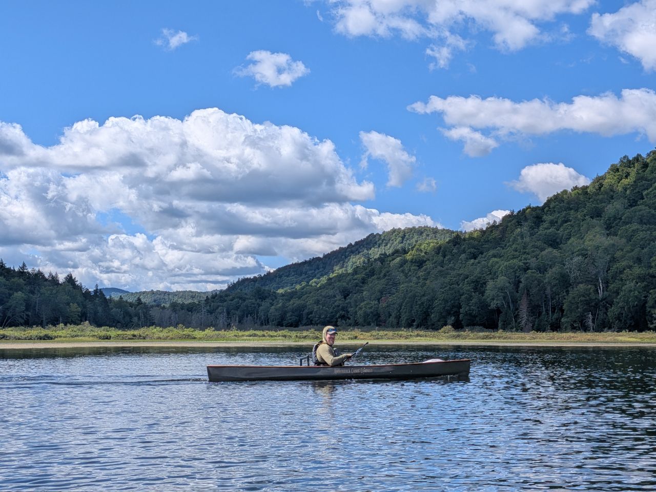
After paddling about two miles along the East shore, we came to the southern tip of the lake. The lake does extend a bit further to the south, but here it's shallow and swampy. We turned hard to starboard and made our way back up the West shore towards sites 8 and 9 where our hike would begin.
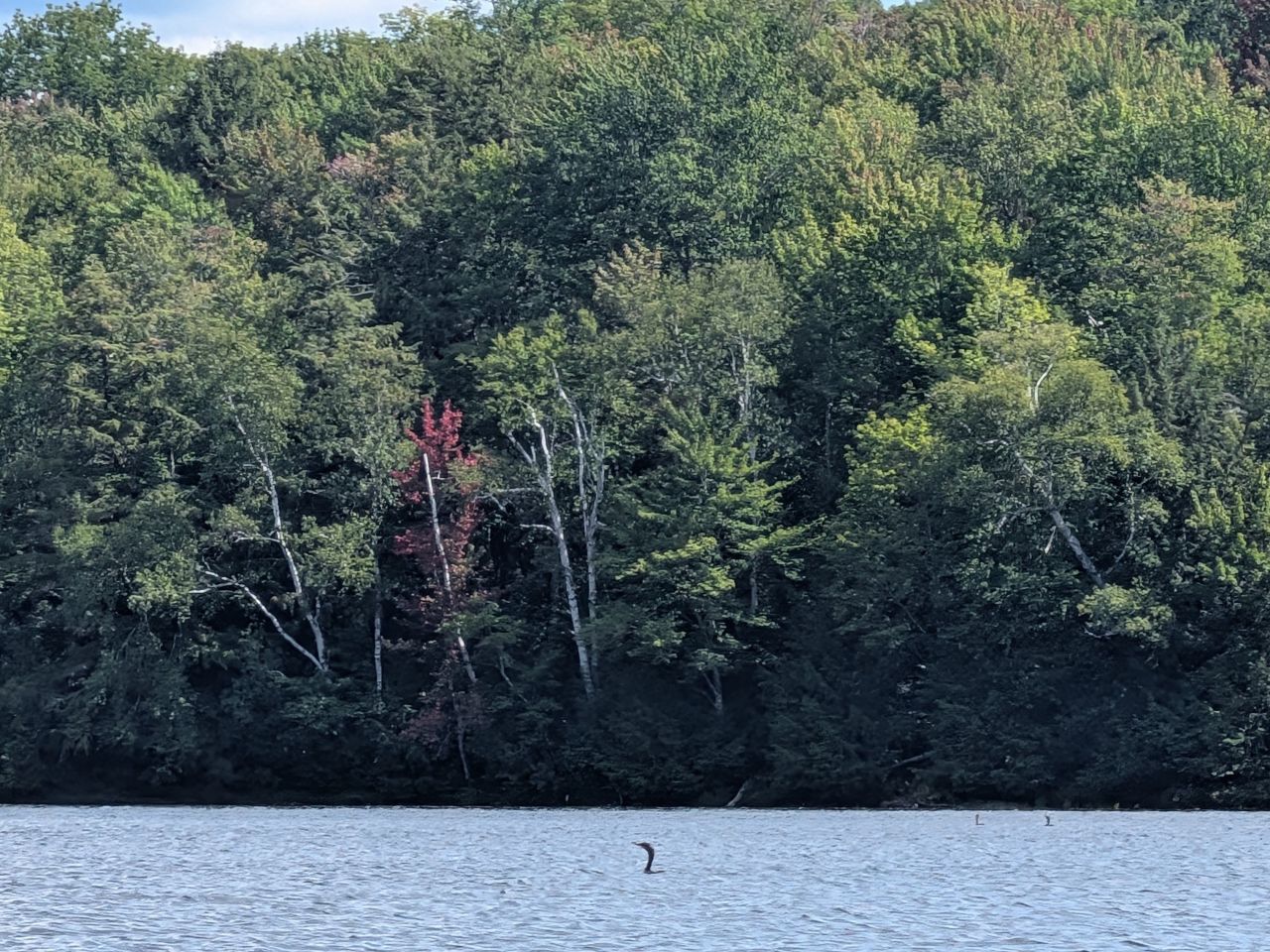
A loon gave us the stank eye as we paddled back North. Later, this creature would accost Erin as she paddled around on her own.
Climbing Peaked Mountain
I think I slightly misjudged which campsite would be best to stop at for our hike. We put in at site 8 but I think it would have been better to put in at site 9. Everything worked out fine, though. Jay hiked ahead to meet Dan on the trail while everyone else got their kayaks sorted. While Dan, Jay, and I hiked, Brandon would relax with a good book while Erin paddled around some more.
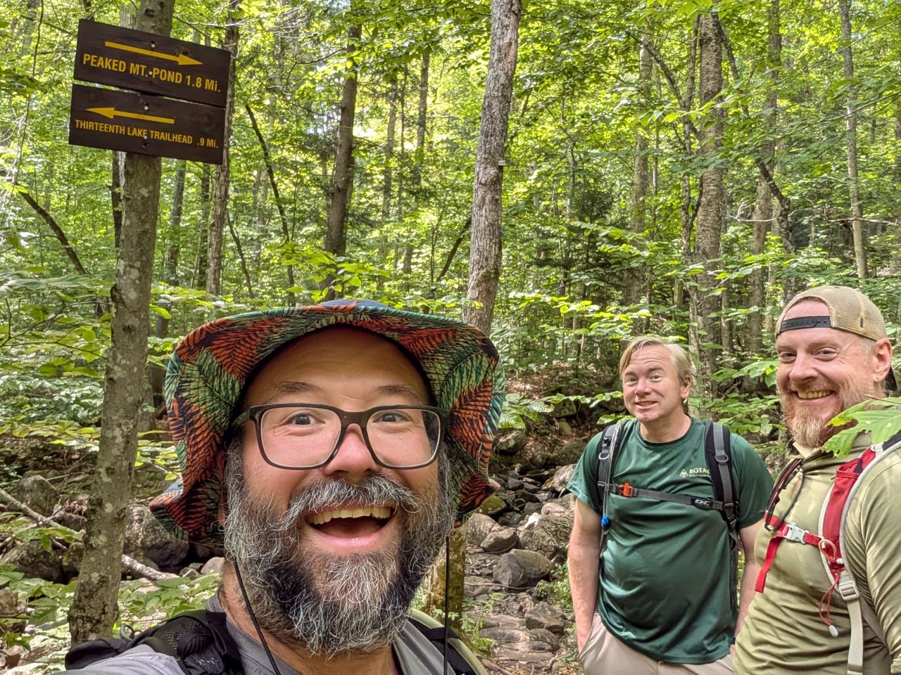
We started our hike shortly after noon. From this junction, you can obviously hang a right and hike up to Peaked Mountain. You can also keep hiking further South and Southwest towards Hour Pond lean-to (exactly 3 miles from the main trailhead) and also Puffer Pond. With the Chimney Mountain trailhead (on private property) now closed to the public, I think this is now the easiest way to get out to climb Bullhead and Puffer Mountains from the Highest Hundred list.
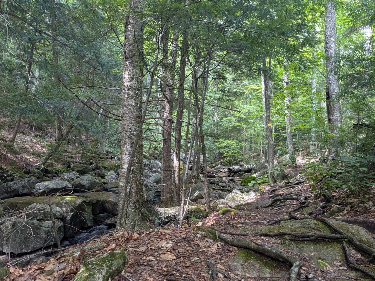
The hike began with a bit of an ascent from the shore of the lake. A little over 300' along less than a mile.
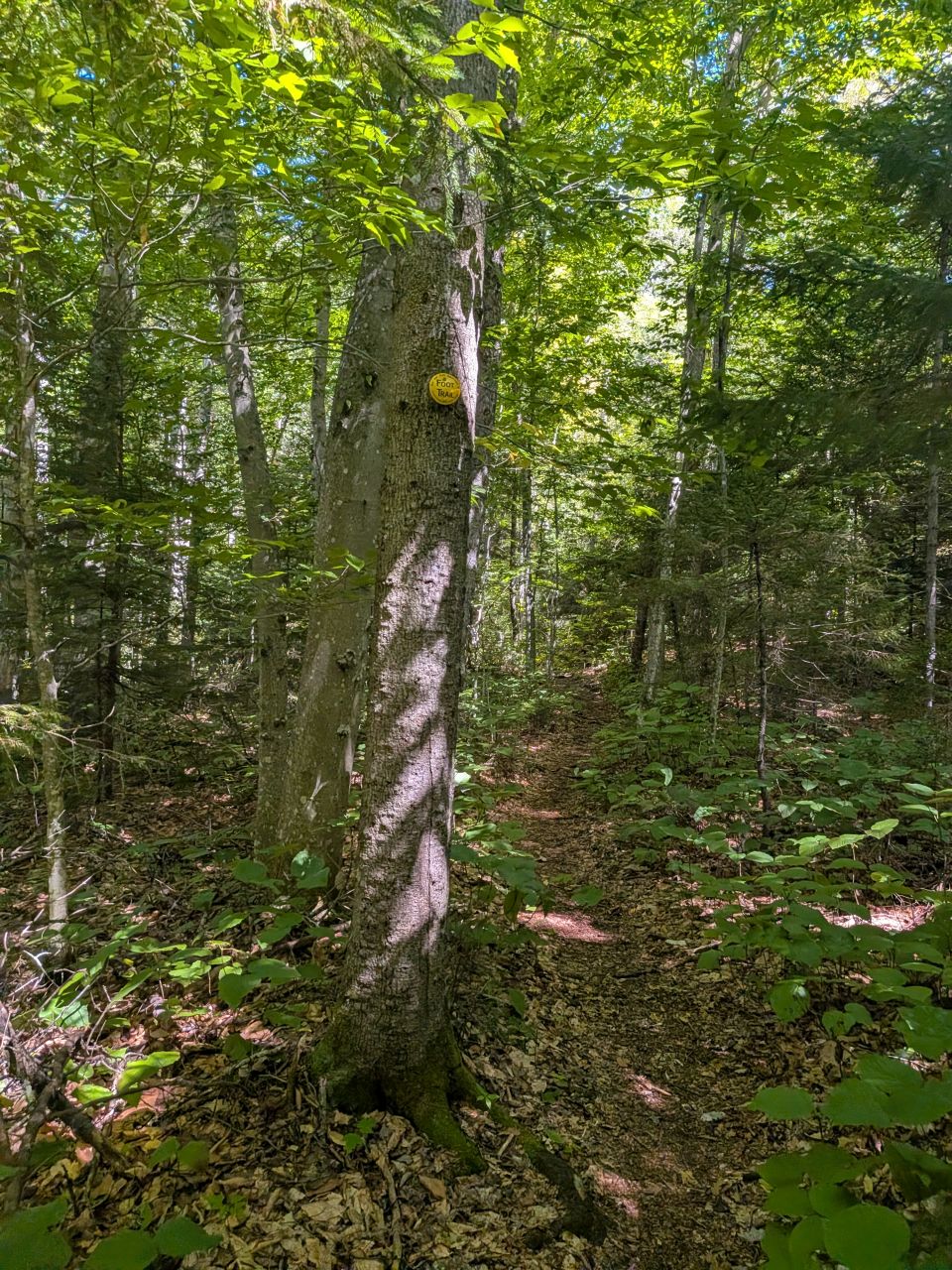
This part of the trail meandered along the brook that drains Peaked Mountain Pond. The ground underfoot was mainly soft.
We met several people along the trail. Most folks were friendly; we only met one person who seemed annoyed that we greeted them along the way. We did pass a middle-aged gentleman and young lady along the lower portion of the trail. We passed them again on the way down, having made very little progress. We didn't interject ourselves in their business, but we were slightly concerned.
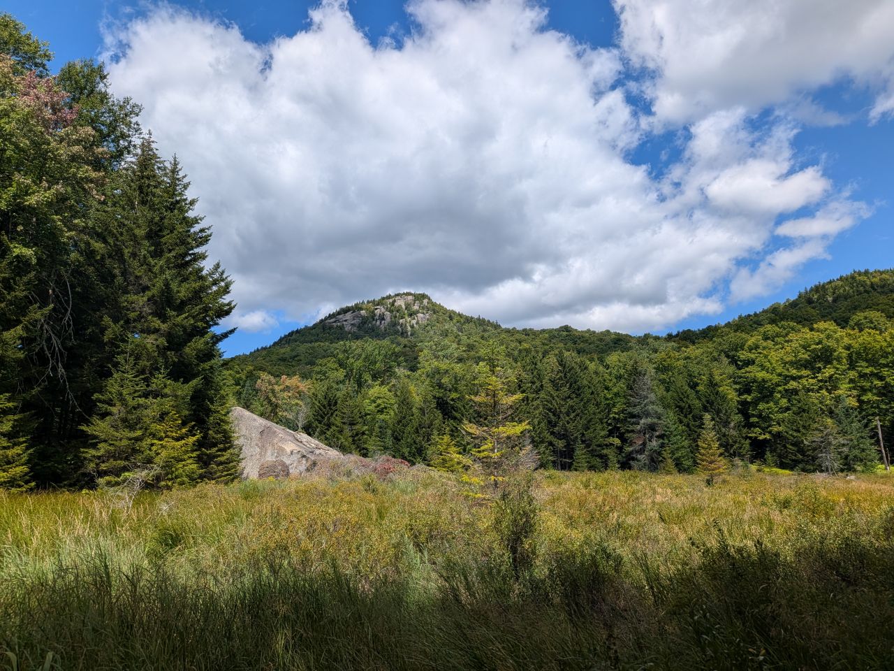
We got glimpses of the mountain periodically from the various marshes along the way. The day was still beautiful and we were moving quickly.
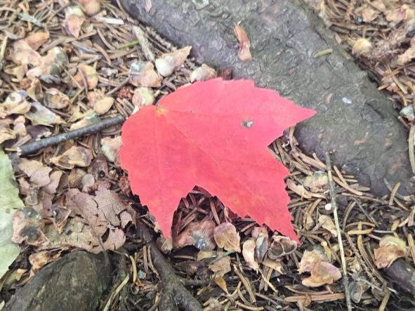
Jay caught a photo of this traitorous bastard.
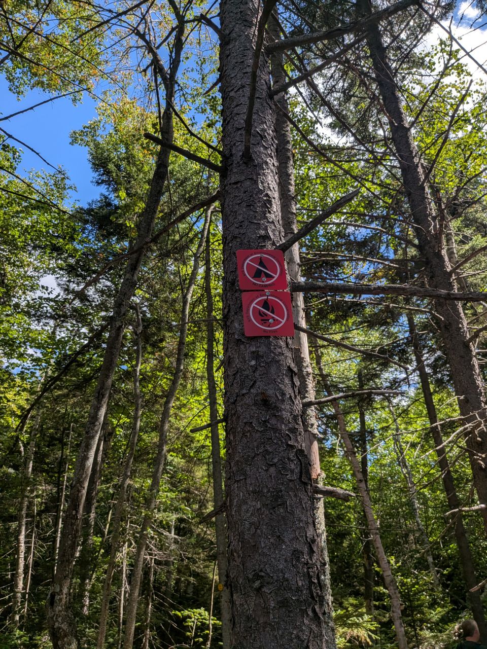
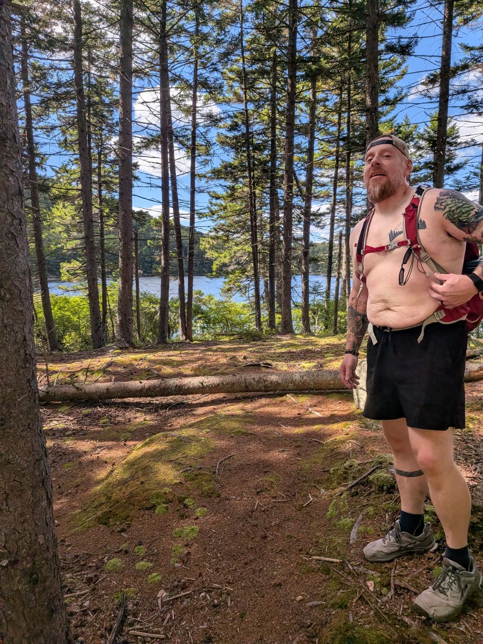
There's a little inlet as the trail approaches the pond which would be a perfect spot to camp. Of course it has the "we mean business no camping" signs on one of the trees.
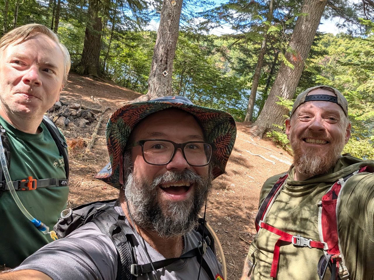
We diverted from the trail a short distance up the trail to check out the designated camping site. Here we found someone had set up camp, including a trail cam. Of course, we had to pose for a selfie with the trail cam. The guys down at the lakeside site had also set up a trail cam.
I dunno. I've never in my life had an issue with someone messing with my stuff at a campsite in the ADK. I'm glad I'm not saddled with that level of mistrust; it must be exhausting.
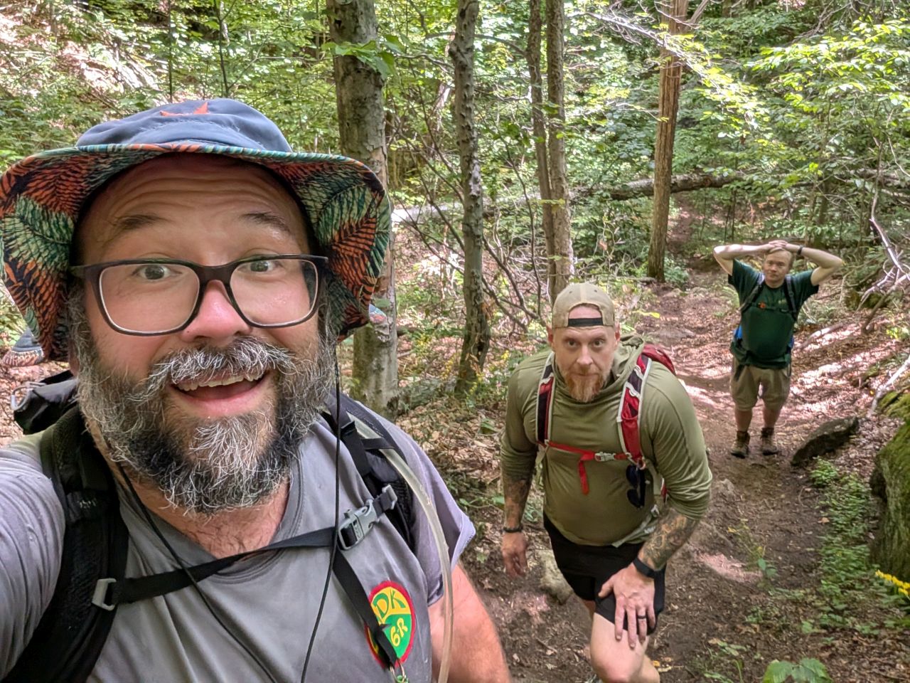
The real ascent begins shortly after the camping area. The final ascent is a little over 600' in less than half a mile. It's steep, but not horribly steep.
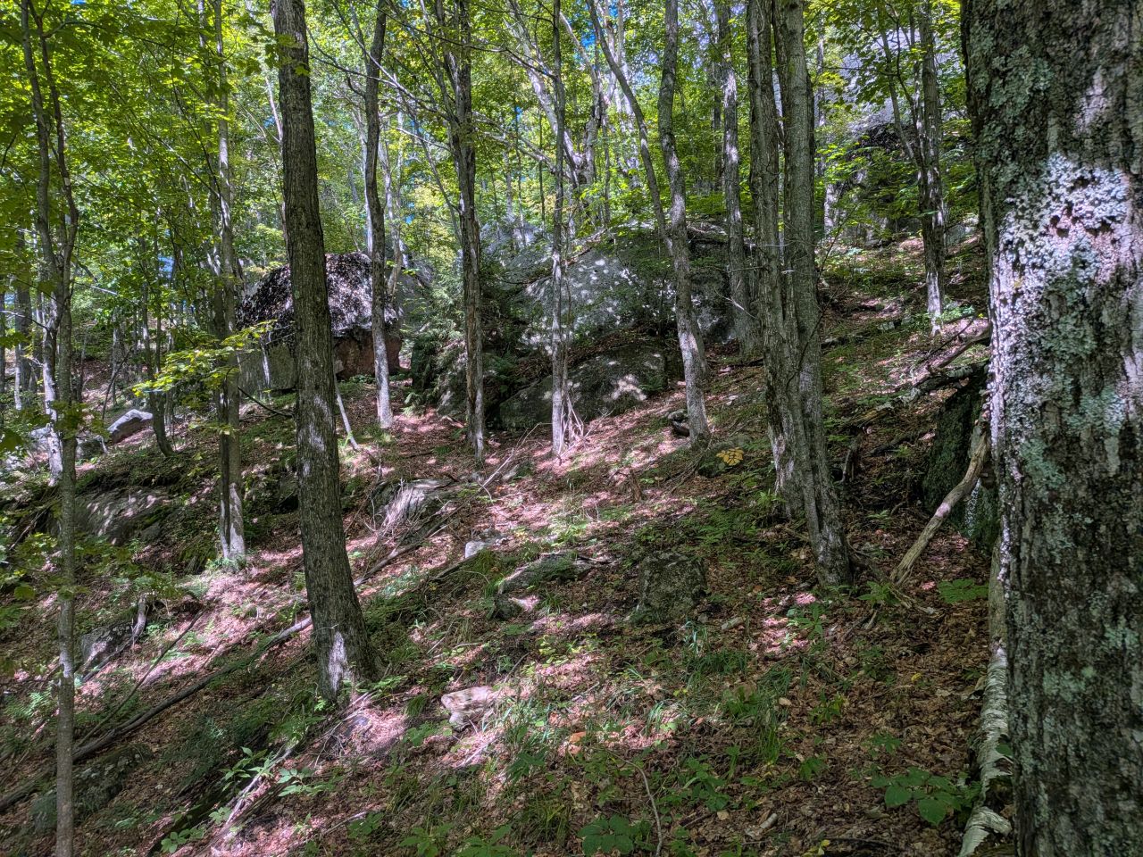
The climb started with the usual meander around big boulders and trees.
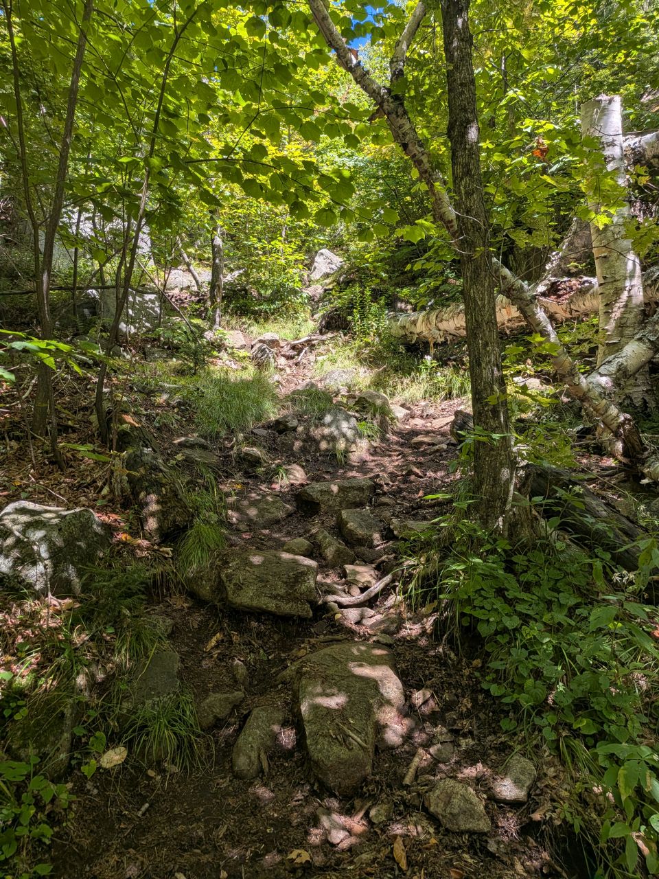
...steeper and steeper...
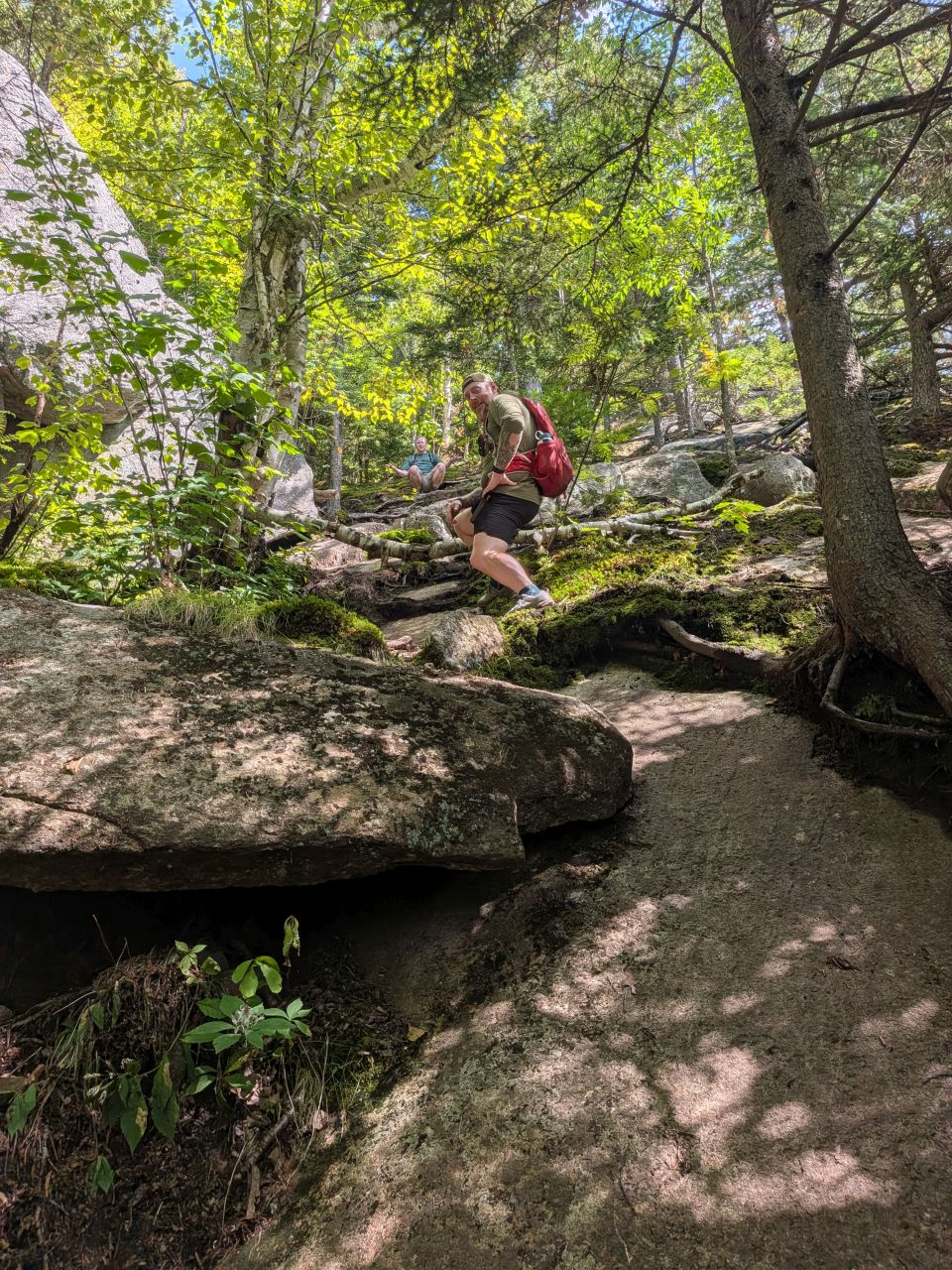
There's one really fun section of super steep bare rock to climb about halfway up. I suspect this is all ice in the Winter.
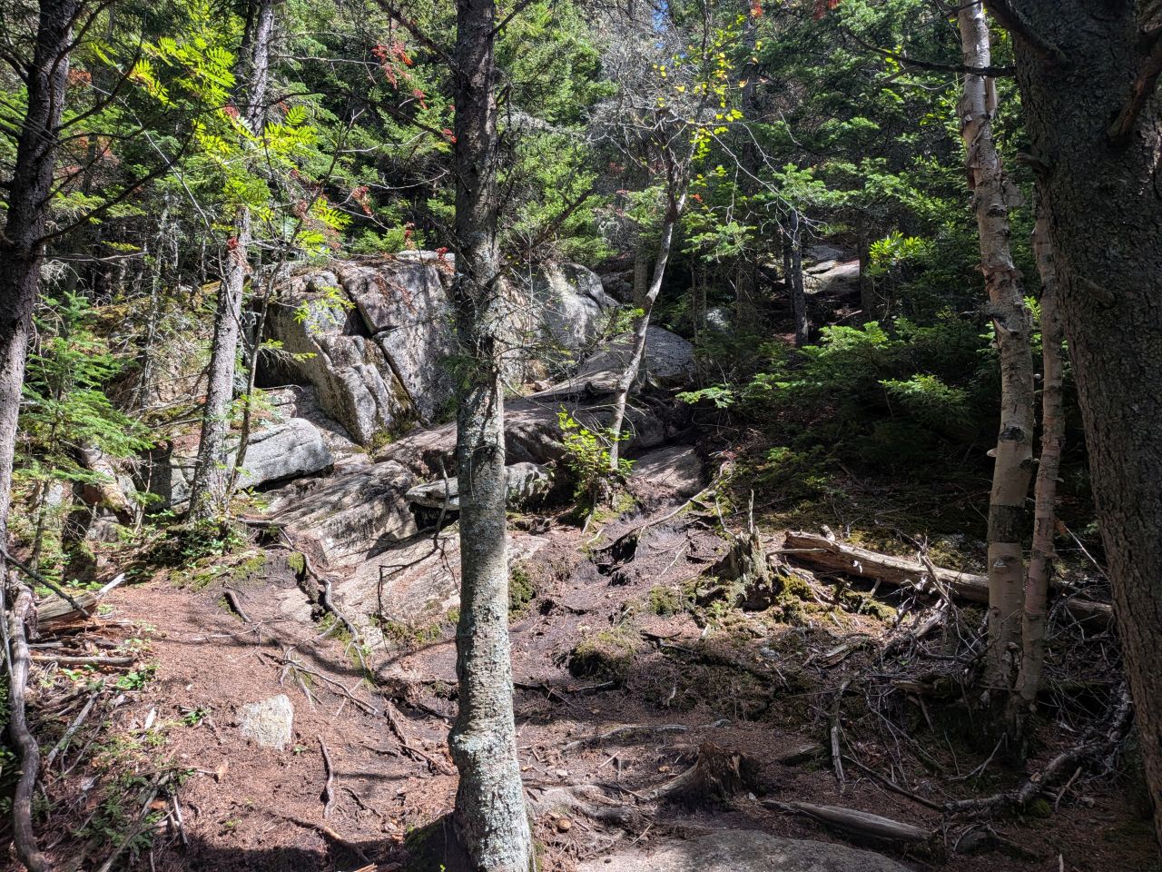
The rest of the climb was still steep, but more of the little cliffs one after the other variety; very managable. We met a few people along the way, including a couple with their dog. We were definitely missing our dogs on this part where they'd have been helping haul us up the mountain.
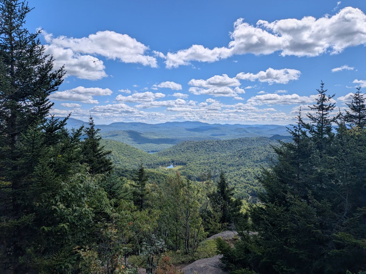
We reached the summit at 1:30, less than an hour and a half after we'd started. The skies were heavenly and the breeze was light and refreshing. We had views from several directions. Peaked is a great mountain, honestly.
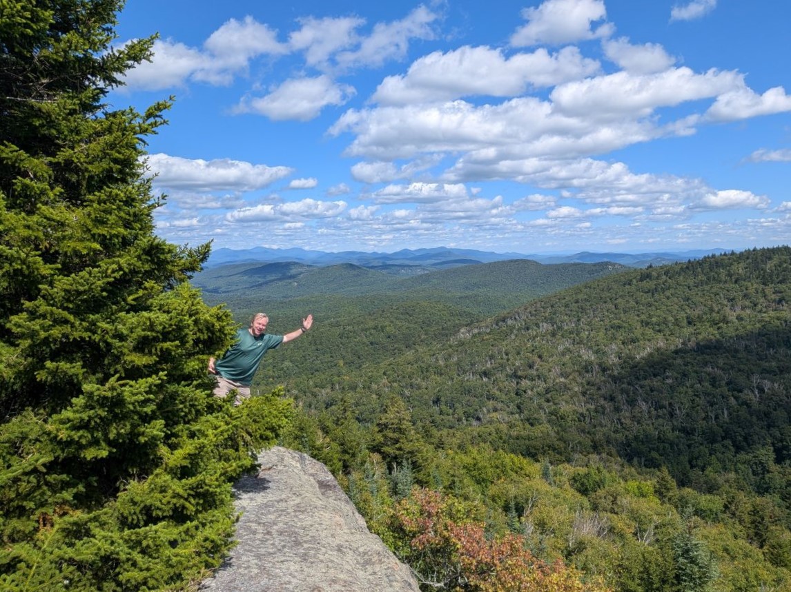
Dan tested my heart rate by doing very safe things on the Eastern ledge.
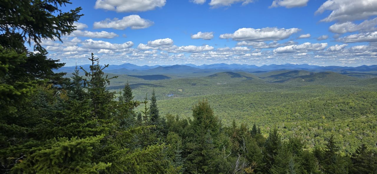
Here, you can get distant views of the High Peaks region and Blue Mountain.
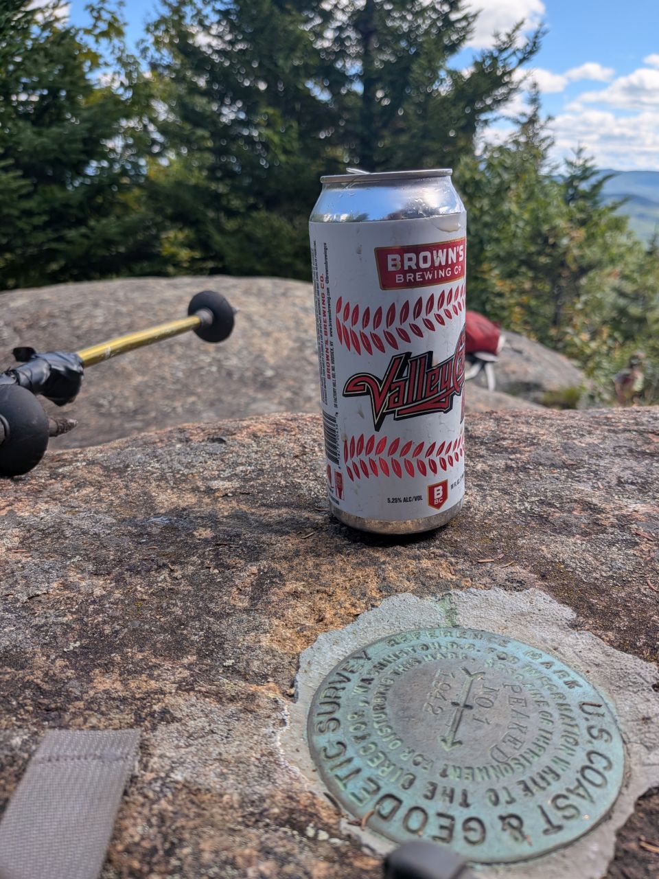
We enjoyed the summit for a while; long enough for a sandwich and a beer. The bug situation up there was quite reasonable. There weren't really any annoying bugs. There was, however, a squadron of dragonflies. I suspected the two facts were at least somewhat related.
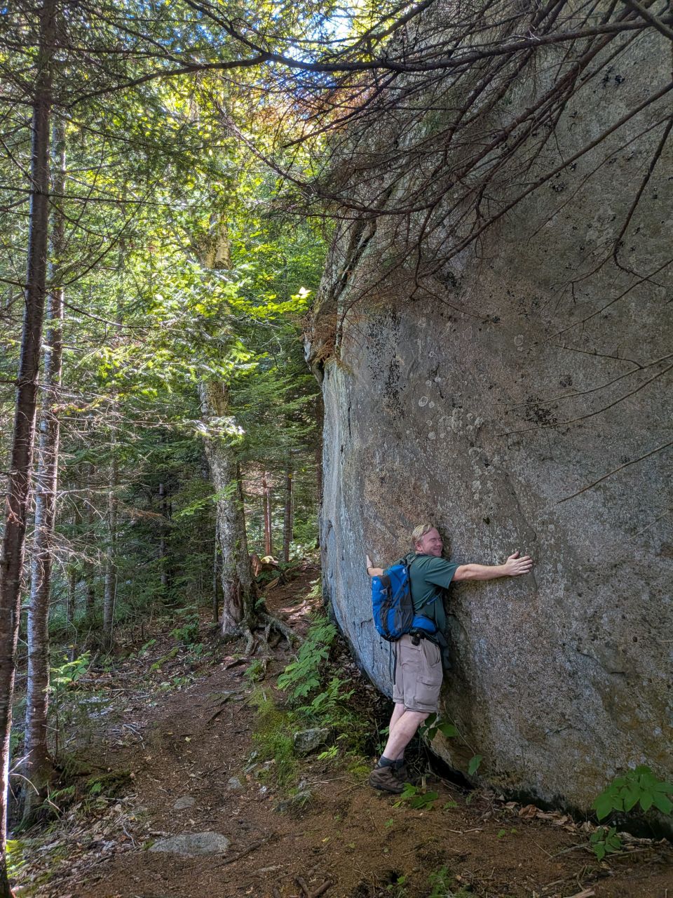
We flew down the mountain. Still, we dawdled a little here and there for views and to hug a rock or two. We made it back to the shore of the lake within an hour of leaving the summit. All told, the hike took two and a half hours including the summit break.
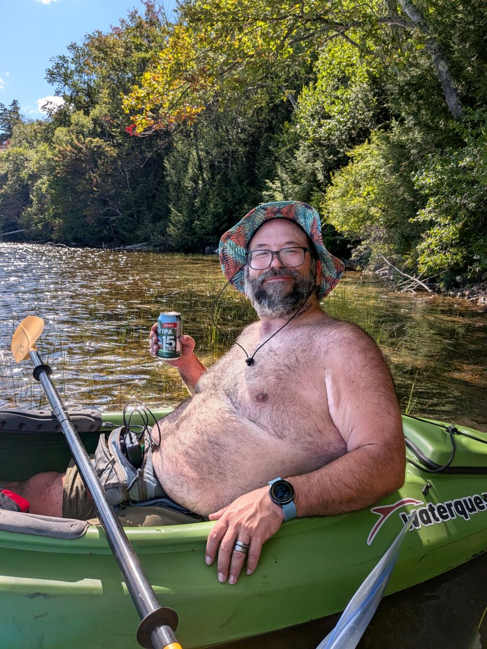
I am not terribly pleased with how unflattering this angle is, but I sure do look happy in this photo. That's because I was. It had been an adventure for the books. I definitely want to try combining paddling and hiking again in the future.
Another Great Adventure
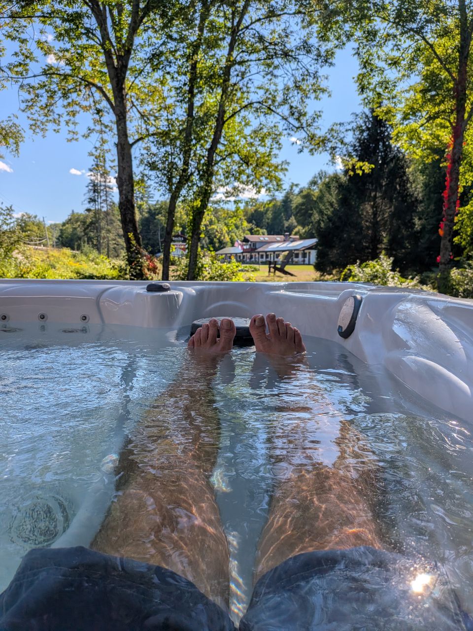
I immediately hopped in the hot tub when we got back to the rental. The jets felt real good on my back and feet.
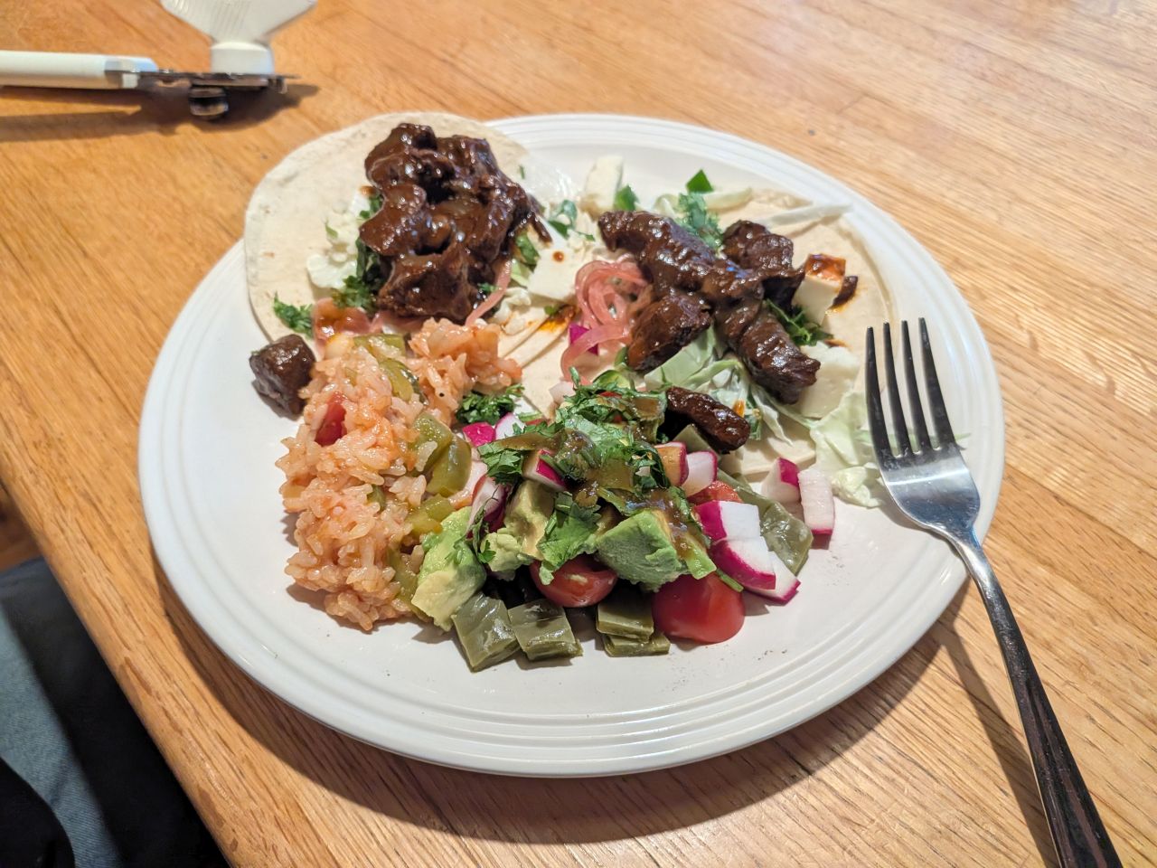
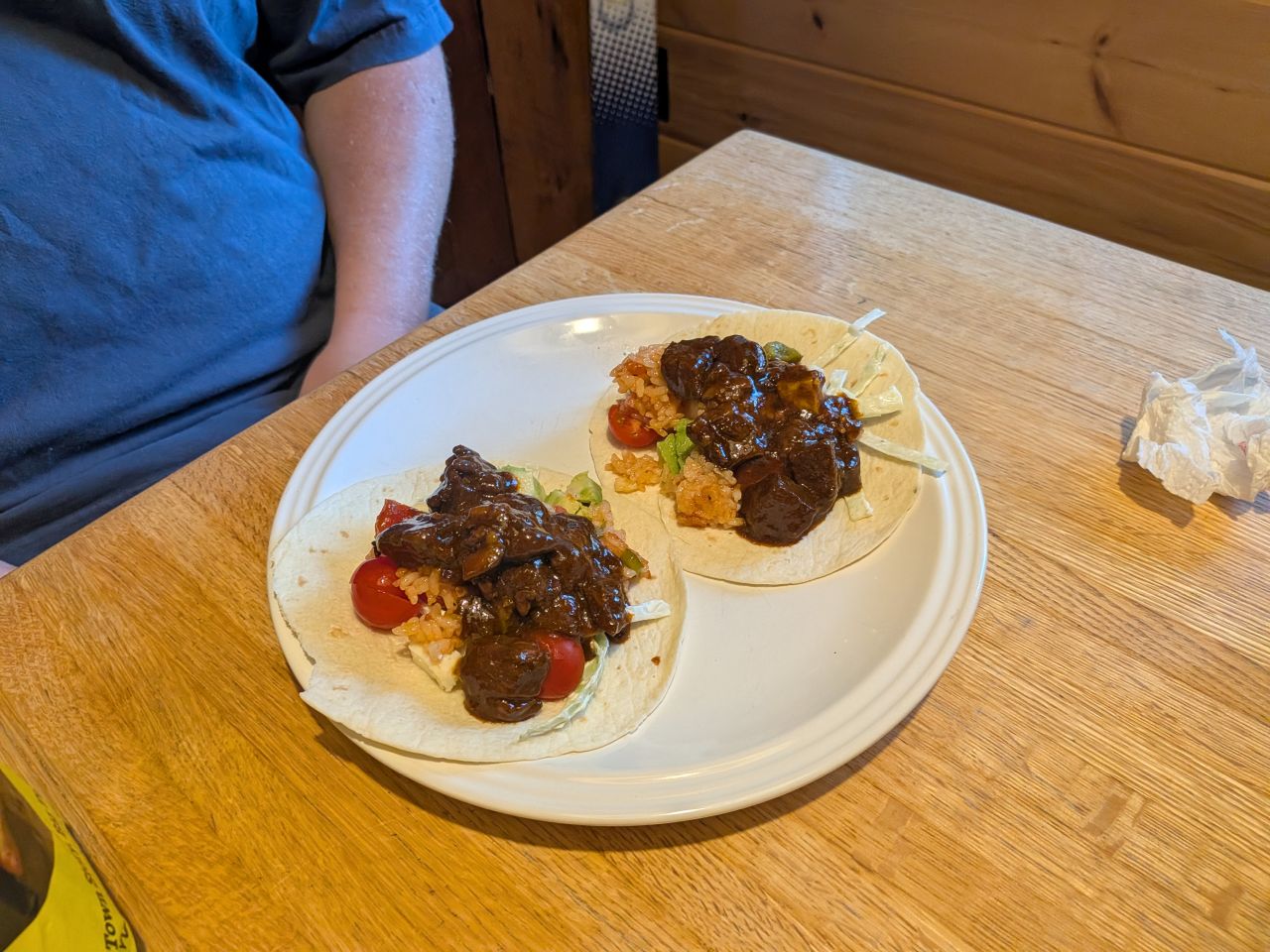
Chris had prepared dinner while we were away and it was delicious.
Here's a look at many of the games we played that weekend:
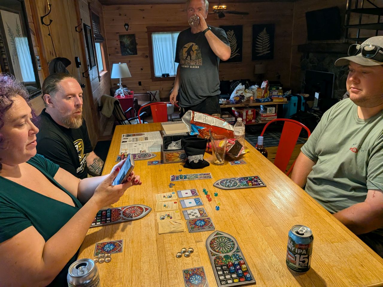
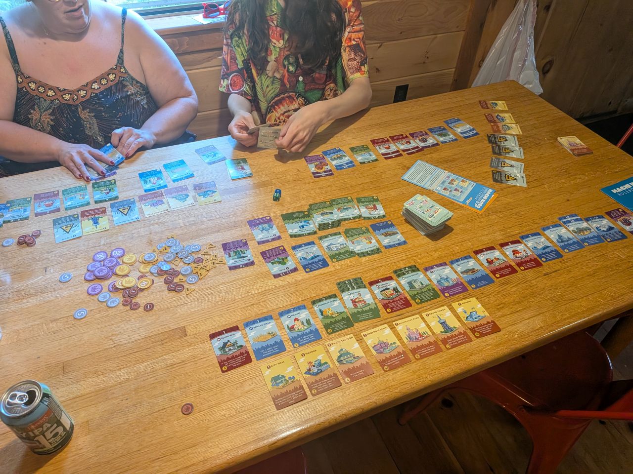
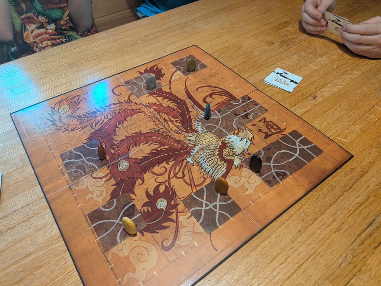
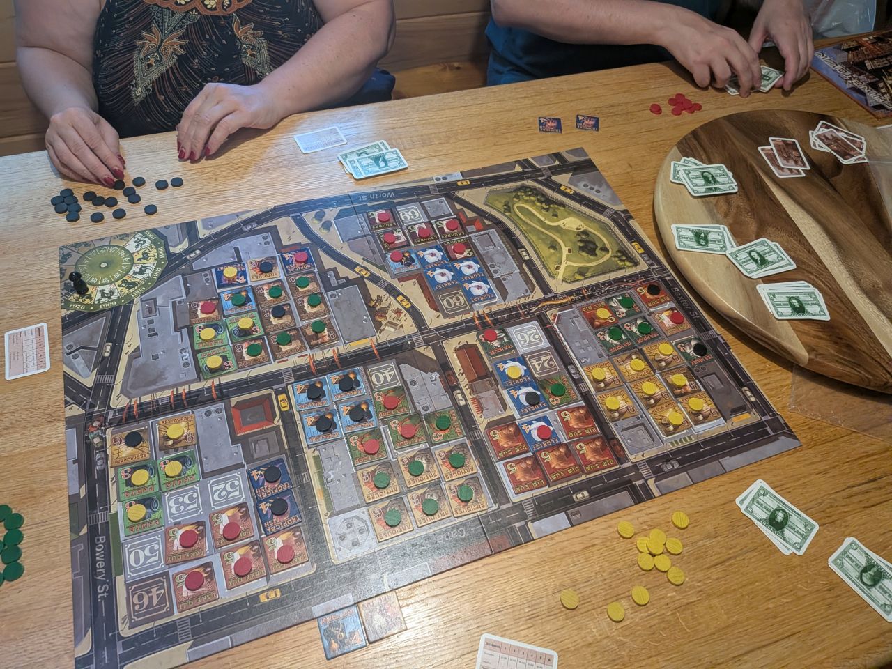
Sagrada, Machi Koro, Tsuro, and Chinatown.
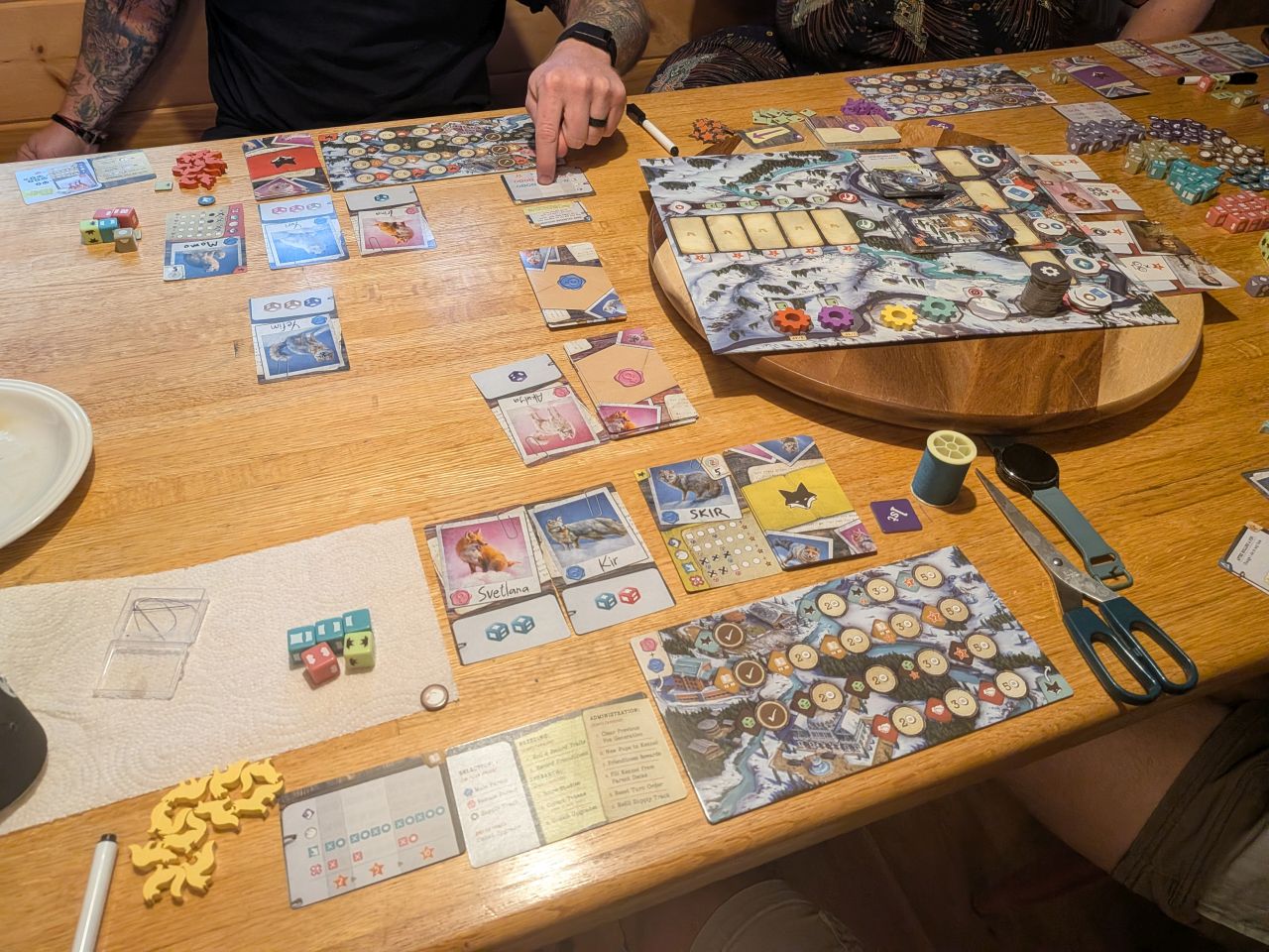
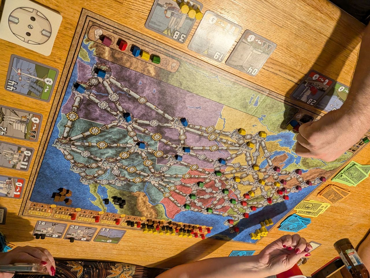
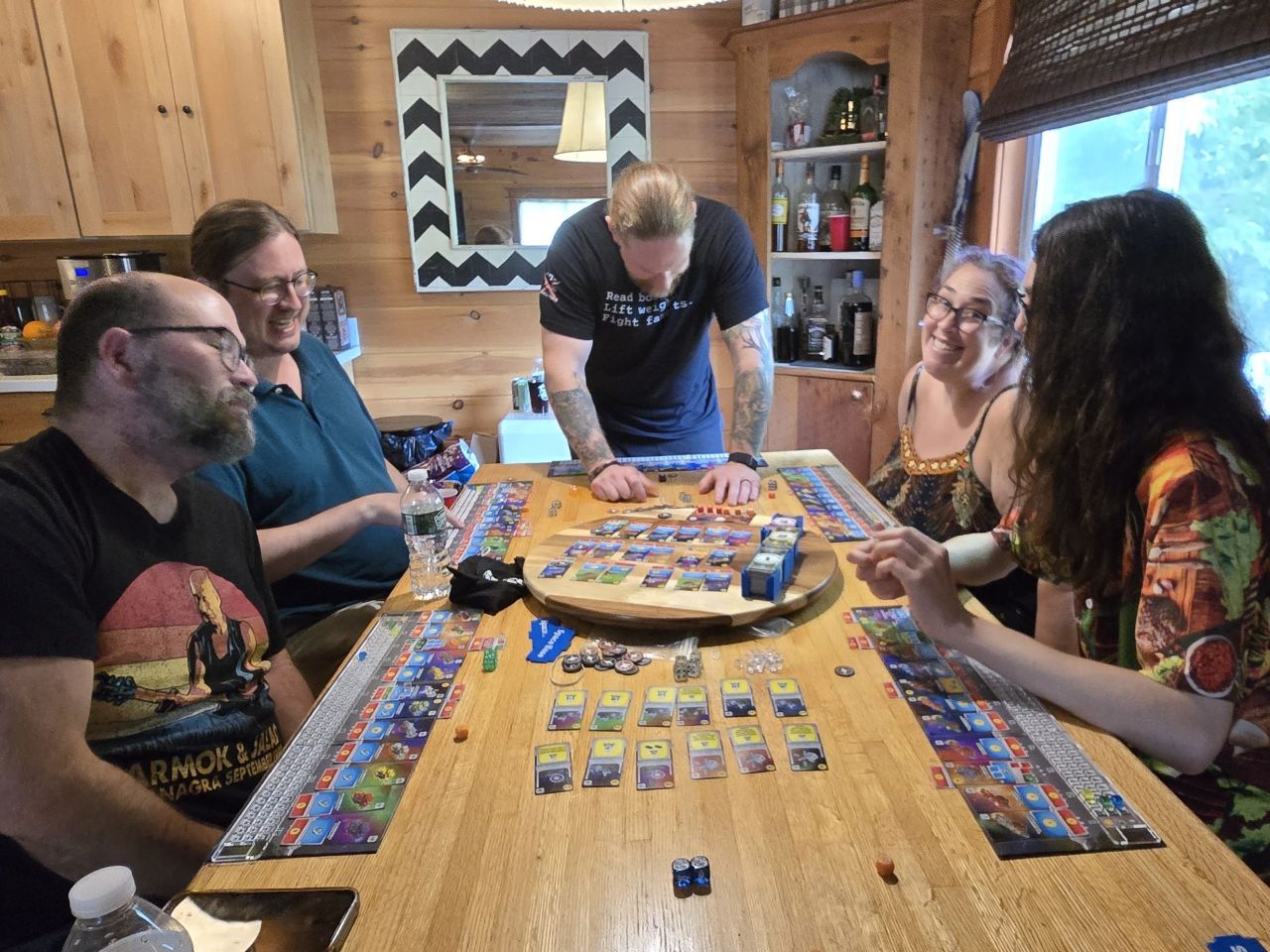
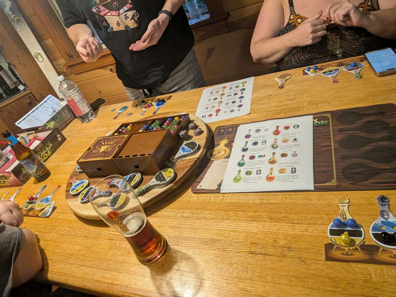
The Fox Experiment, Power Grid, Space Base, and Potion Explosion
We had a lovely time this weekend. I'm glad we always try to get in an outdoors activity during Geekend because there's usually a very high caloric intake involved in our activities.
I'm quite looking forward to Autumn. Our family has a lot of activities scheduled this month, but I'm hoping to get more hiking done in October. I was invited to join some friends on a backpacking trip, so I'll be doing that. I'd also like to hike Scarface to finish my Saranac 6. I also want to either get a hike or two with Quinn, either another High Peak or Hurricane Mt.
I also have a maintenance trip planned with the ADK to help move the privy at Wallface Lean-to. I've recently agreed to take on maintenance duties at Henderson Lake Lean-to. As such, I'll probably use that trip as an opportunity to visit it and take some pictures.
Route Map
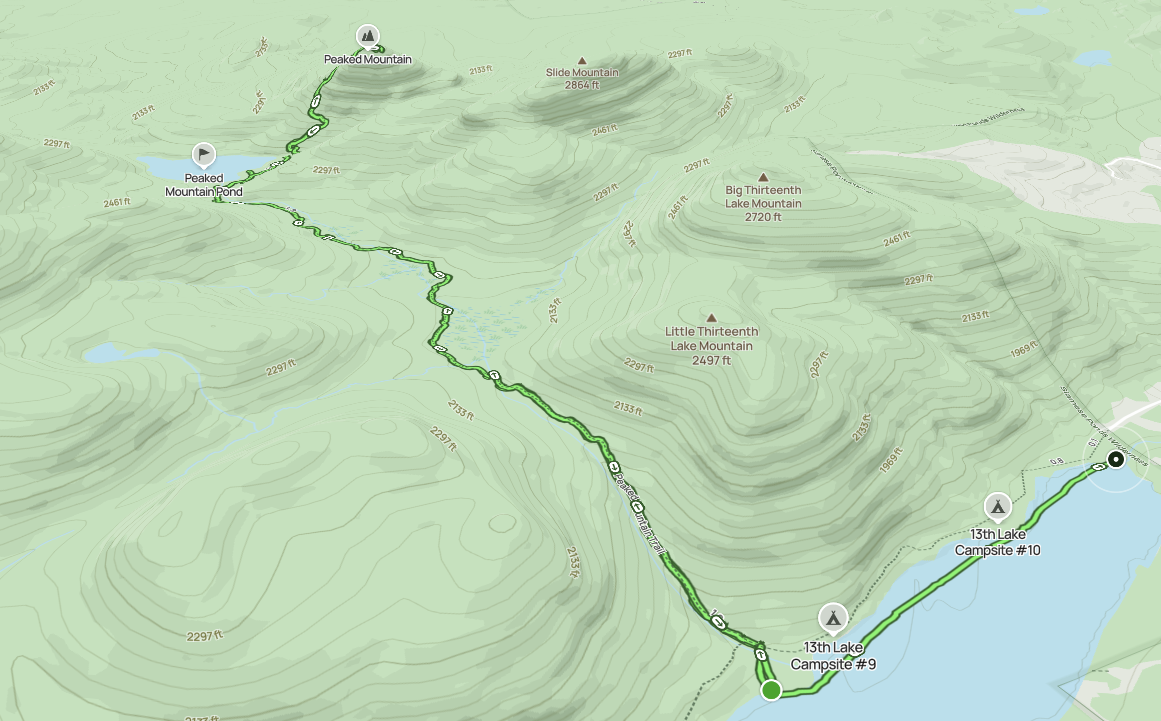
Afternoon_hike_at_Peaked_Mountain_Trail.gpx (289.74 KB)
Midday_paddle_at_13th_Lake.gpx (166.48 KB)