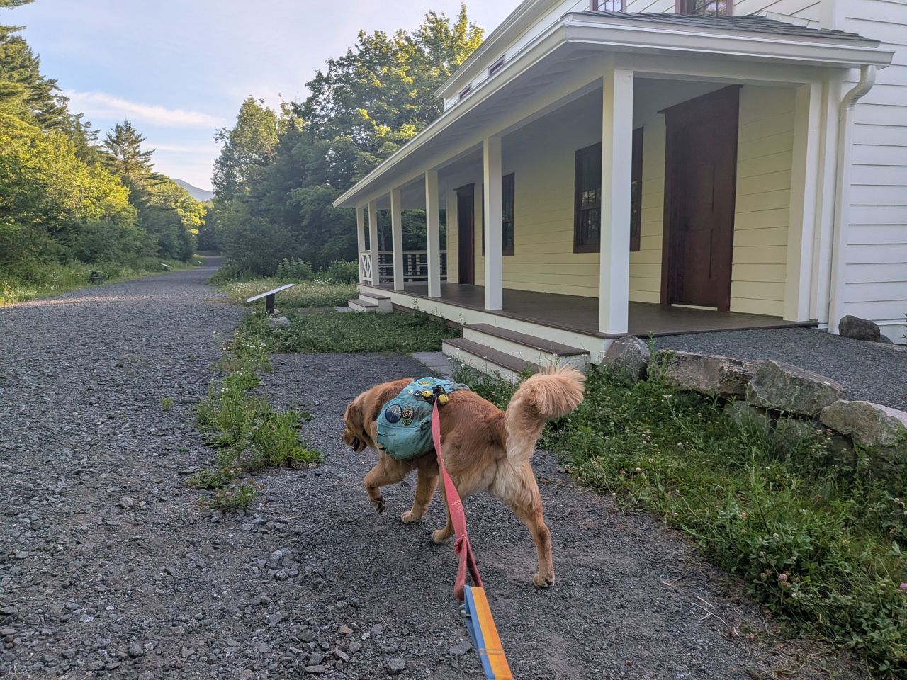
Sunny and I got up at 4:30 and were on the trail by 7:20am. The forecast promised an absolutely gorgeous day and I was looking forward to it. It started off at a cool and comfortable 53 Fahrenheit.
Retreading from Upper Works to Wallface
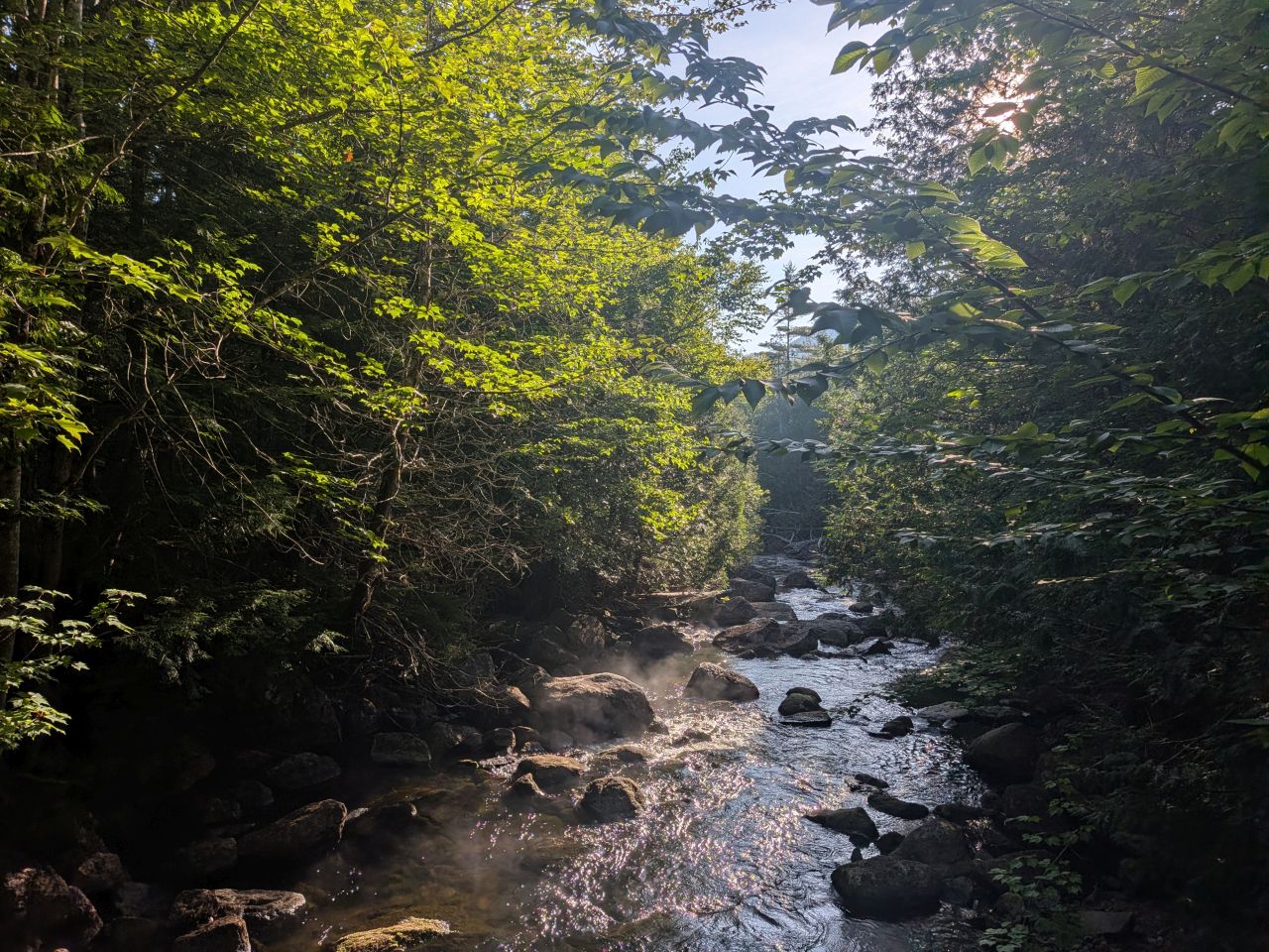
Looking across the extreme North end of the Hudson River in the early morning was beautiful as usual. This morning, steam was rising from the churning water. It was a perfect moment.
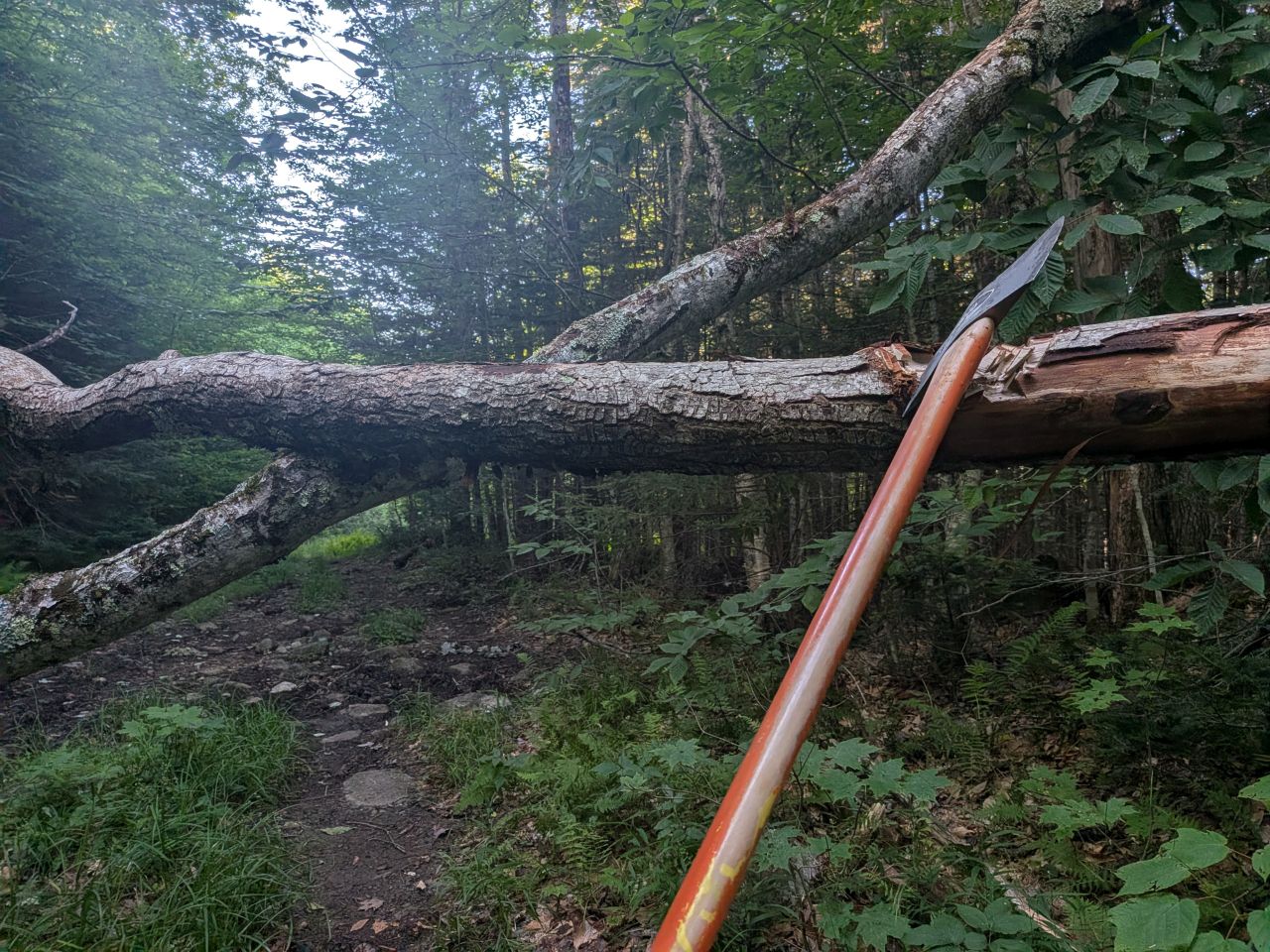
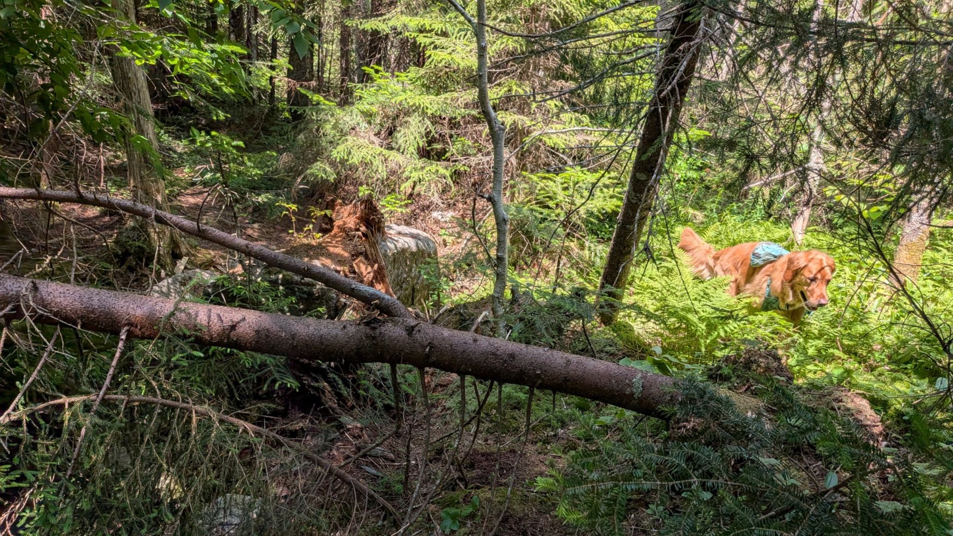
I didn't want to put too much effort into kvetching over the miles I'd already cleared, but Indian Pass Trail had different plans for me. We found this particular spot ten minutes into the hike. It could have been defined as "easy under", but the way the trees were leaning, I knew that it was only a matter of time before we'd have to deal with them anyways. Therefore, I went ahead and started hacking away at it.
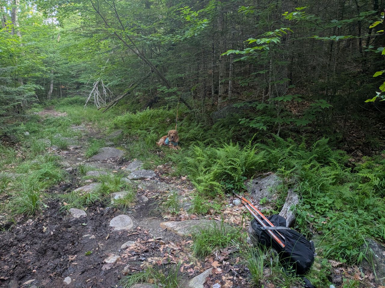
Sunny was more patient than last time. 45 minutes later, we were on our way again.
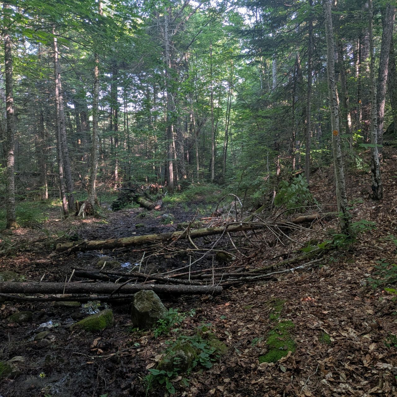
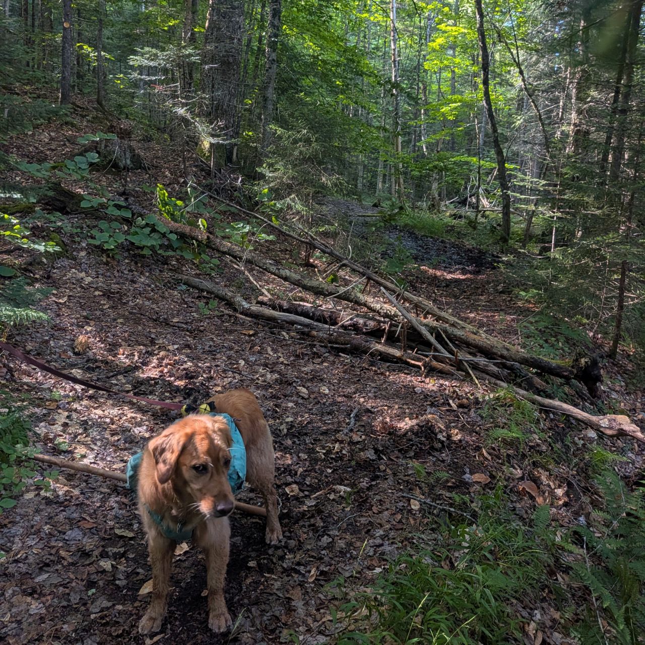
If you recall from the May trail report, there are two locations between the Calamity junction and the Duck Hole junction that have official bypasses, I suspect to help the trail heal. The sections that they bypass are absolutely destroyed, so I think this is likely.
The barricades Dan and I laid across the trail had been moved. I stopped at both locations to lay even more obnoxious barricades in the hopes that it'd be to frustrating for anyone to scatter again. I made sure that larger logs didn't block the drainages. I'll tinker more with it next time.
Today, I shared the trail with a big group of hikers from New Jersey. I was really glad to be able to chat with some folks on and off all day. They were backpacking for 4 days, doing a big loop from the Loj via Colden, around the Macintyres, and up Indian pass. I was doing maintenance, but they were wearing heavy packs, so we played cat and mouse most of the day.
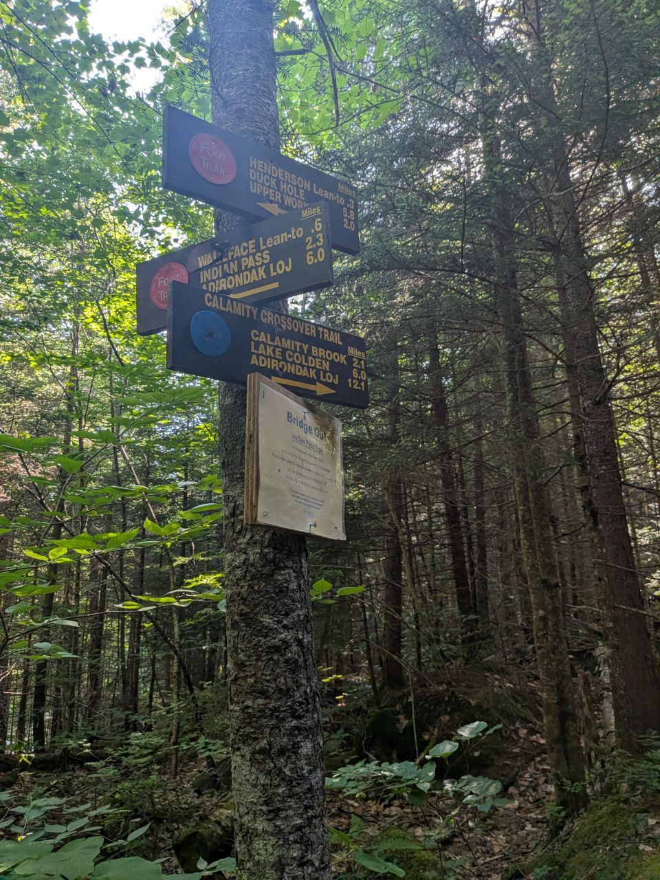
At any rate, the 'Jersey group said they'd missed the Calamity Crossover Trail junction last night and had hiked almost a mile up the blue trail in the dark before having to turn back. I'd also missed the junction the last time I'd been here in June. As such, when I came back through later this day, I cleared extra branches and foliage near the signage.
I will pay extra attention and make sure hikers can see the signs from quite far away from now on even if it means cutting a little more than what's technically encroaching on the trail. I'll use that philosophy for other sign-posts and junctions as well.
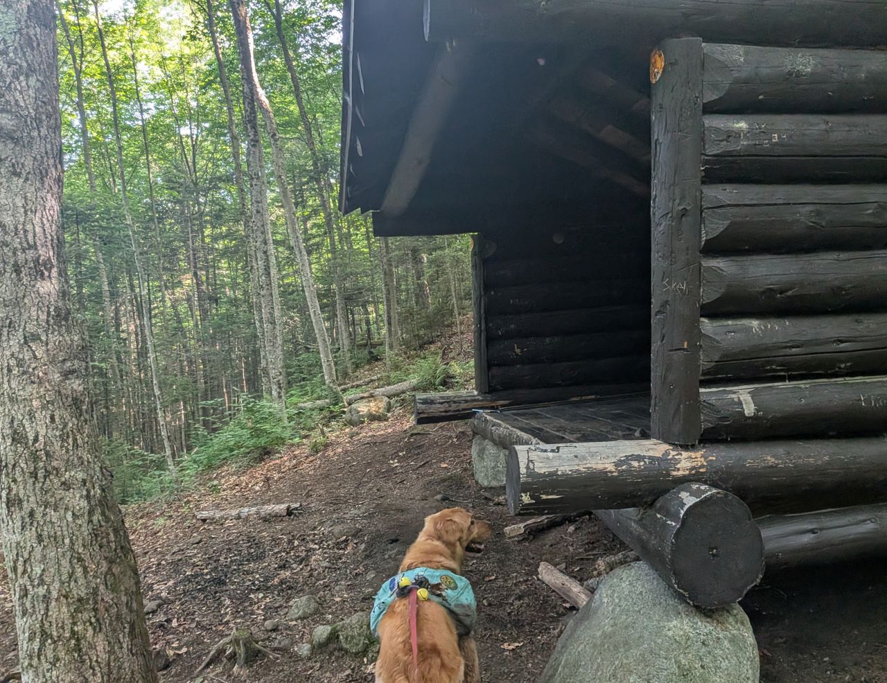
The fire pit at Henderson Lean-to had been scattered.
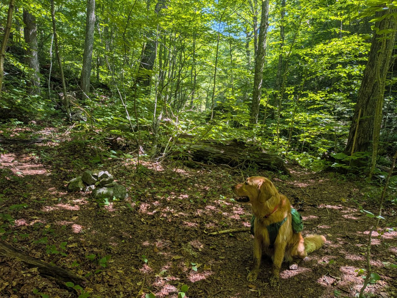
After a little bit of work, we made it to the Wallface herd path junction at 10:45am, a bit under three and a half hours after we'd started. The main trail had been a lot easier to see in May, but I feel like hikers might accidentally take the left fork on accident fairly frequently. This is one of many water crossings on this trail that need trail markers.
At any rate, I felt really good about the trail up to this point. I feel like the work we've done has really paid off.
Here we took our packs off, had a snack, and filtered water. I would end up drinking nearly 7 liters of water by the end of the day.
Climbing to Summit Rock
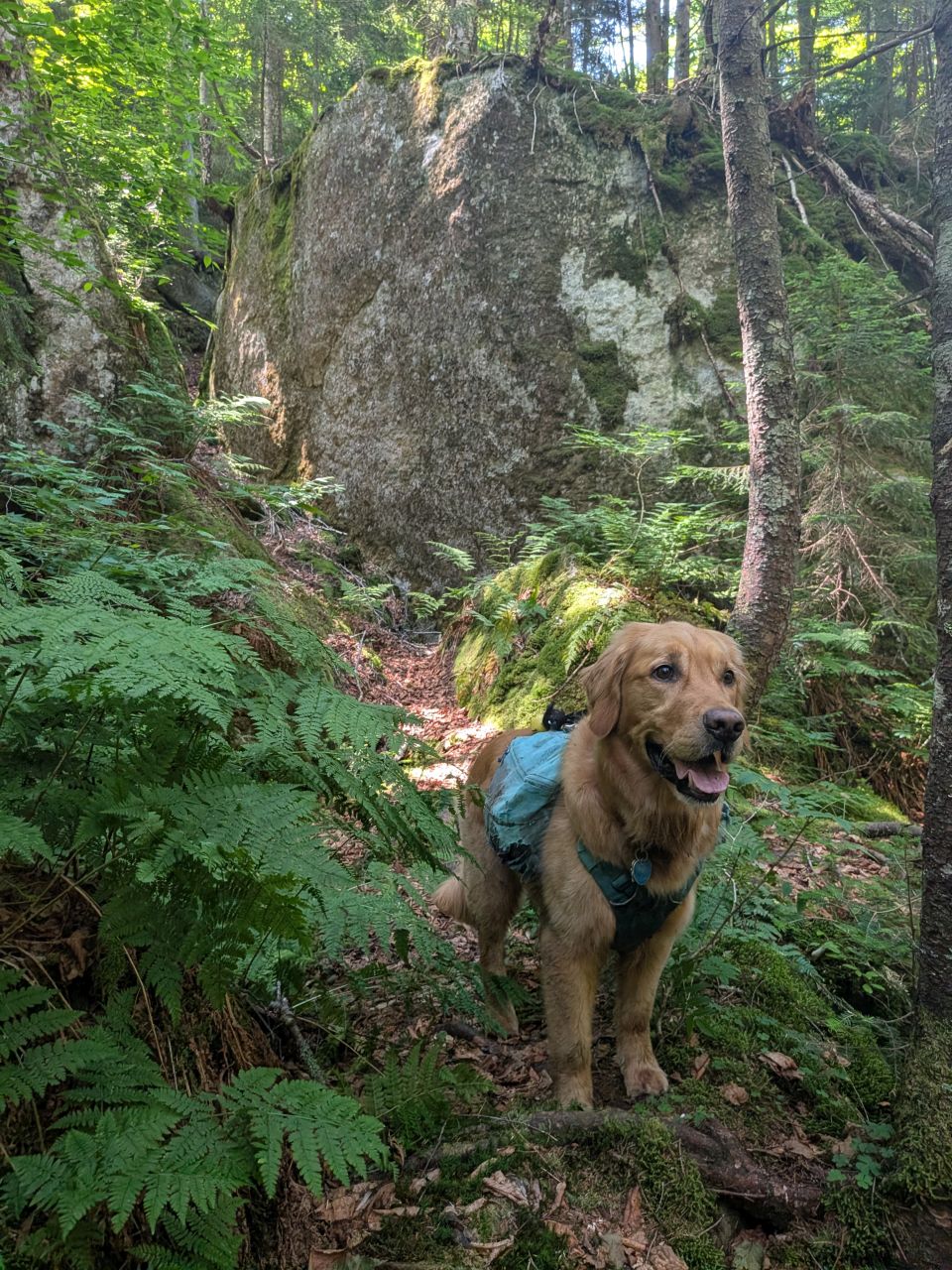
After the Wallface junction, the trail gets quite steep. The hike up is invigorating and features some really fun terrain. Here is where I cut Sunny loose from his leash.
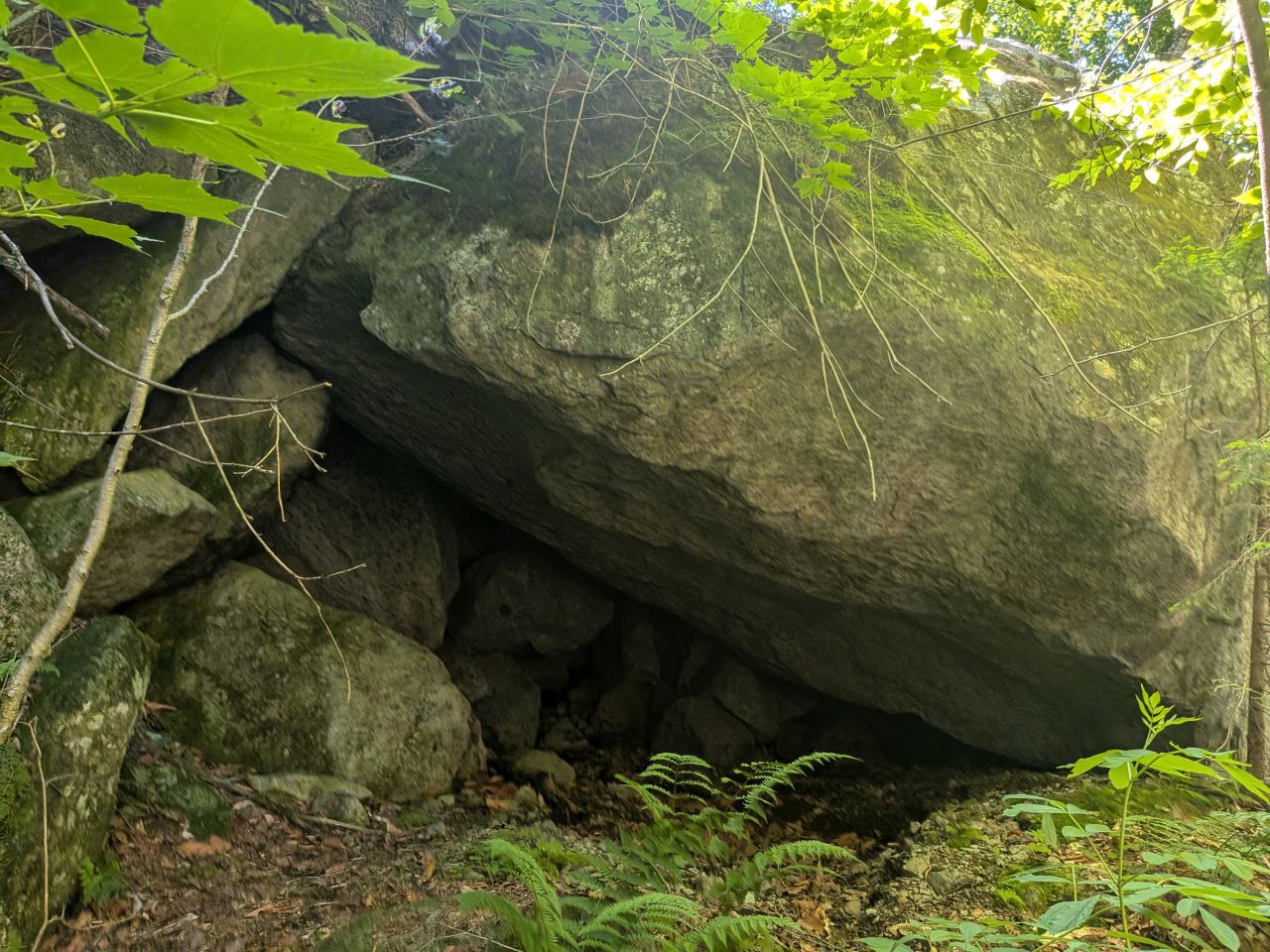
There are a lot of really fun rock formations through here, all piled haphazardly in interesting ways. From what I understand, this entire pass is chock full of caves and shelters to explore. I definitely want to come back and explore more when the trail itself is in a good place.
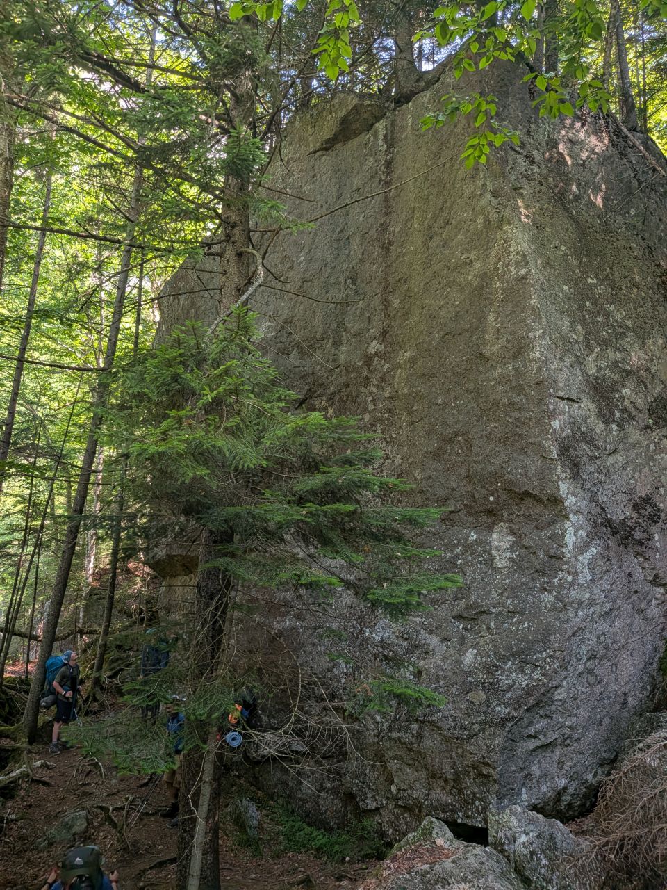
I'd been keeping ahead of my 'Jersey friends for most of the hike, likely because they were wearing massive packs and each carrying their own bear can. However, they were catching up to me more and more since I hadn't been on this part of the trail quite yet. The blowdown wasn't horrible, but it wasn't nonexistent either.
I was happy to get a good perspective photo of a few hikers next to this massive monolith, one of many stacked up in the pass.
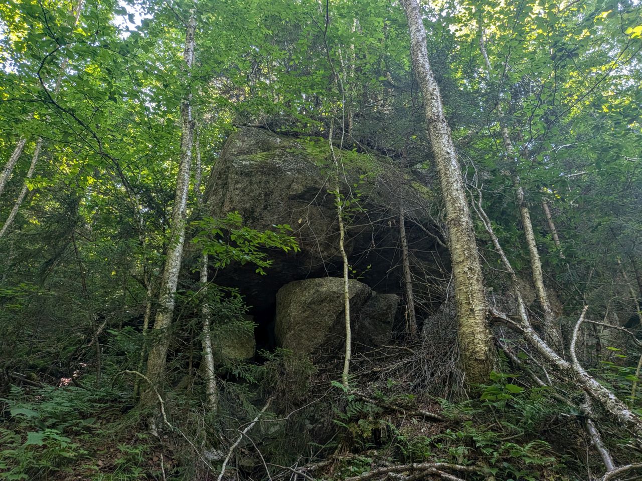
I could have taken pictures of big fething rocks for hours, but I had a job to do.
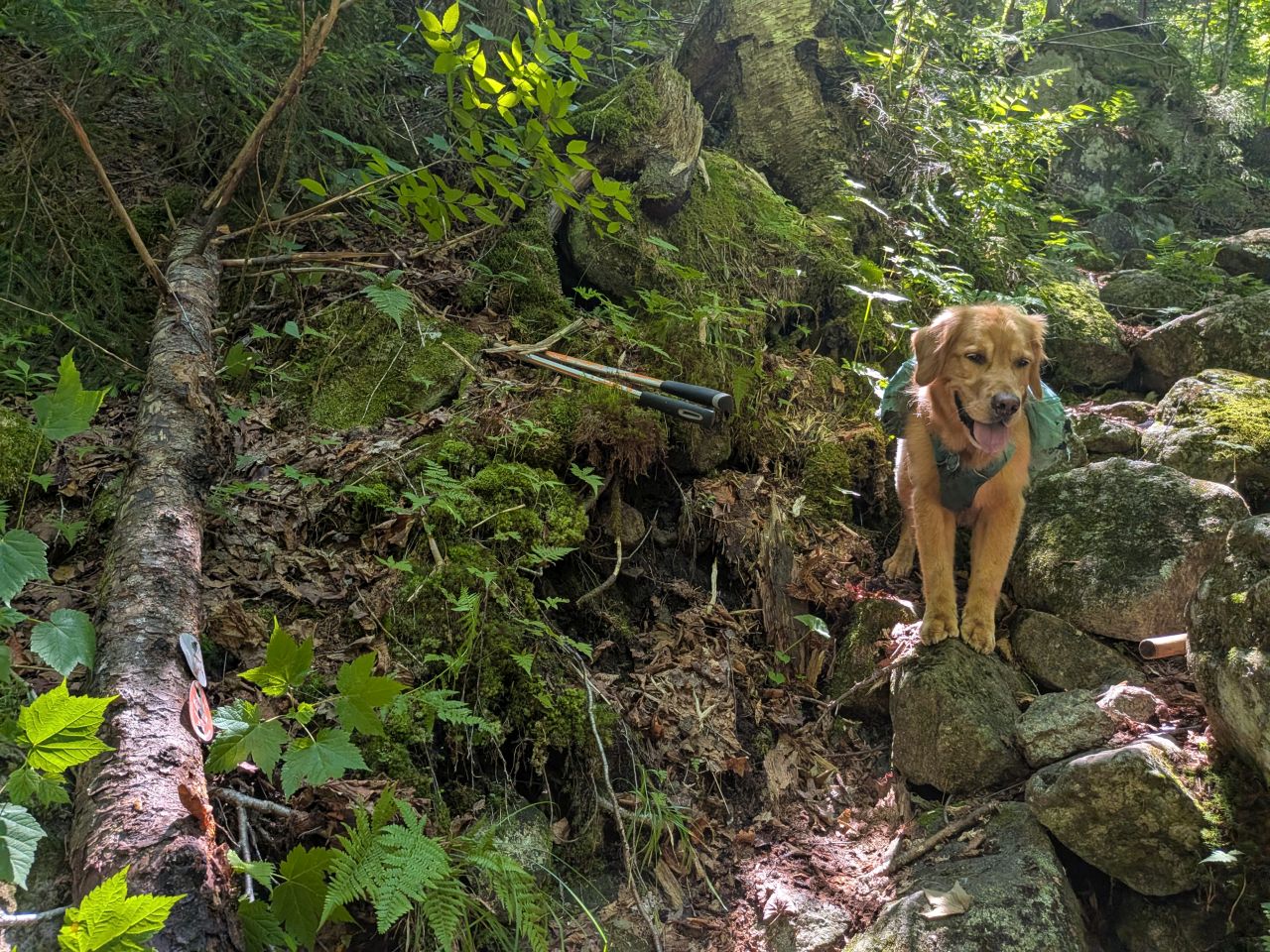
There's one spot that I blew right past a hard right up the side of the mountain and kept going forward. My New Jersey friends actually found the right way. I eventually found the fallen tree with the double trail markers on it. I placed it in a way that I hoped folks would see where to go and I put some branches in front of the herd path. This definitely needs better marking and clearer line-of-sight.
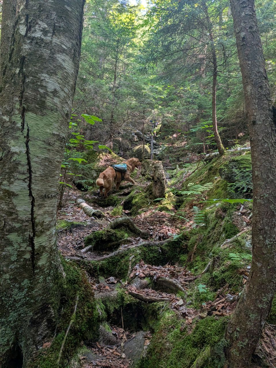
The trail tries to stay out of the valley floor. My guess is that it's a bit squishy down there. The trail climbs up the right-hand wall a bit, sometimes quite steep.
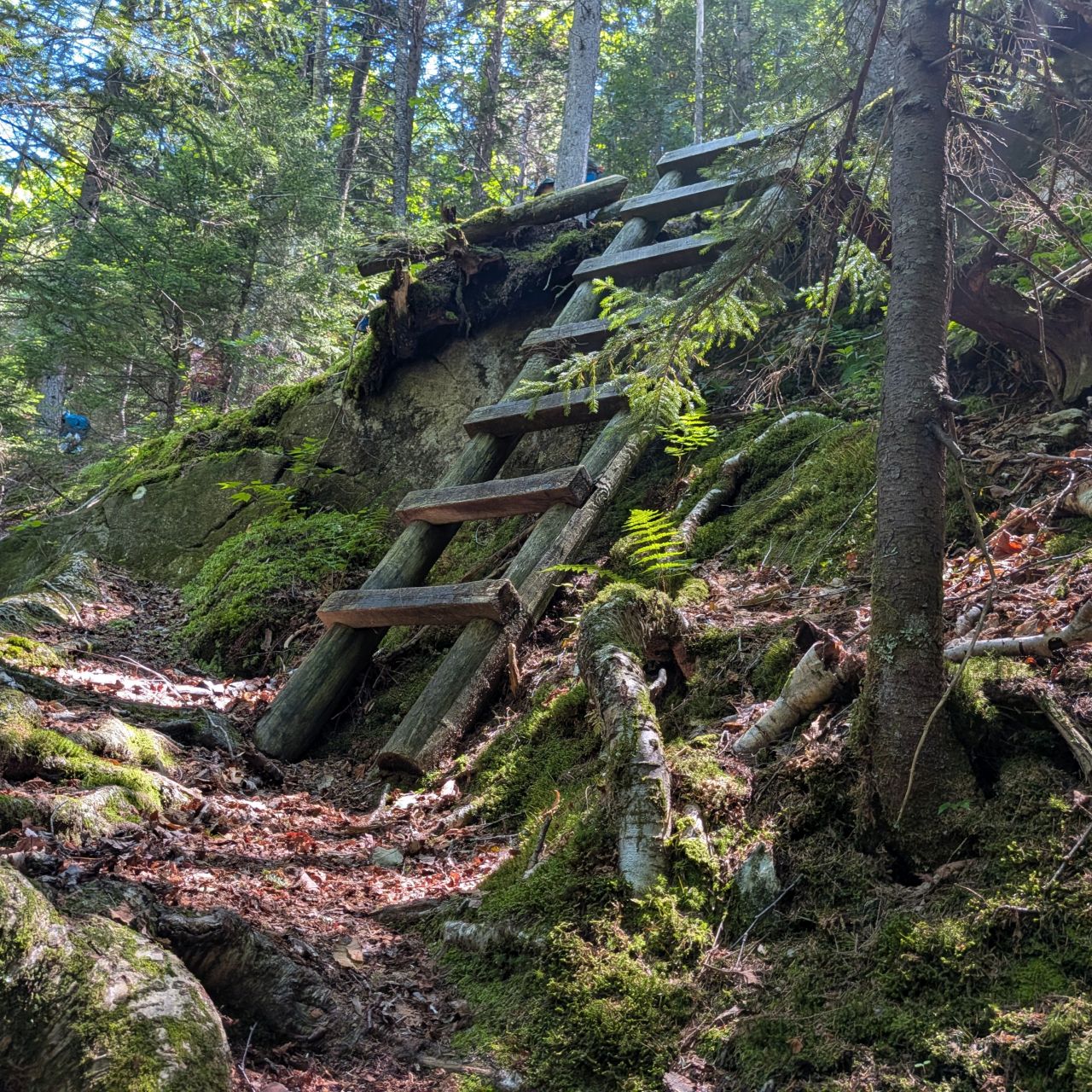
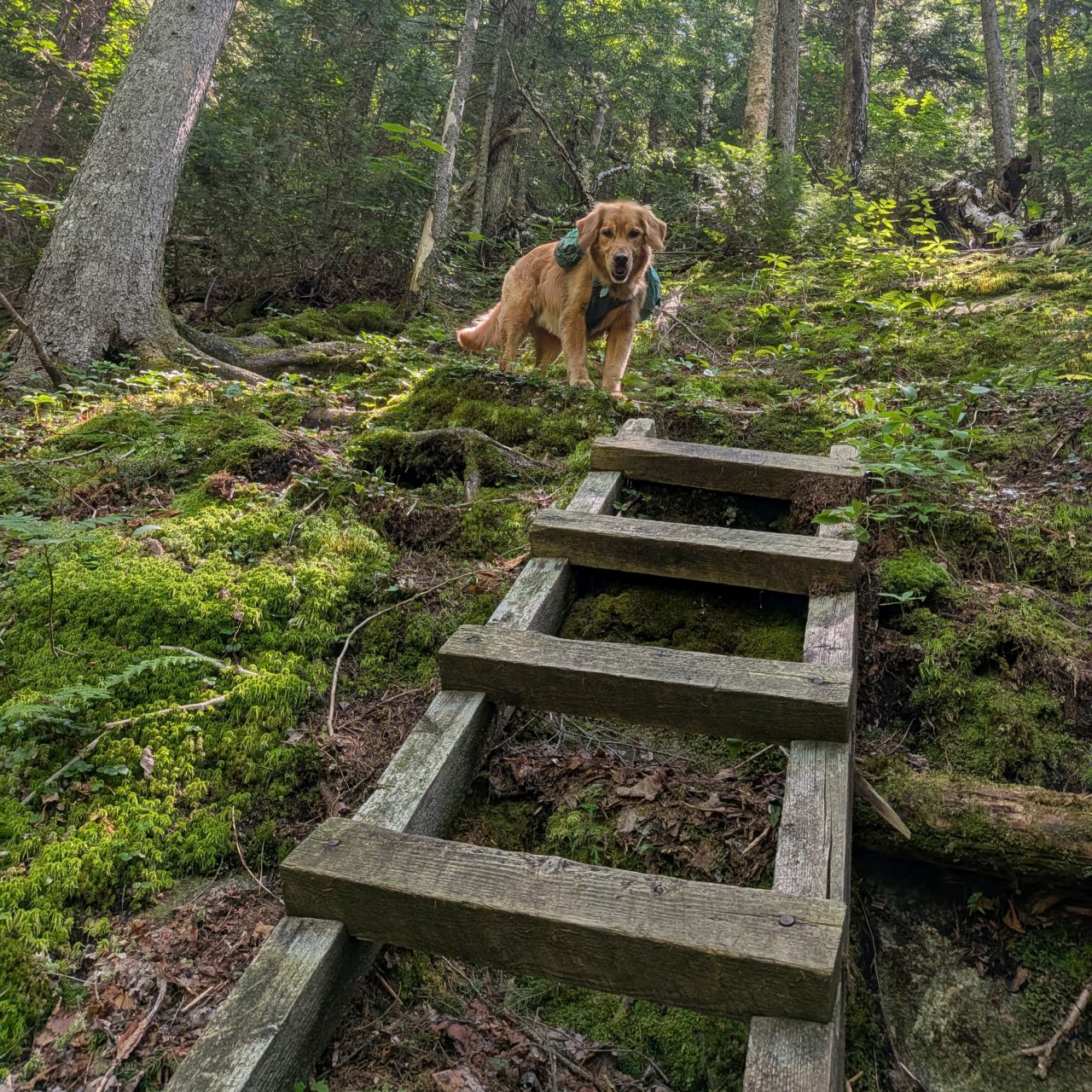
There are two ladders climbing up to Summit Rock. The first ladder is actually a double ladder. They are in pretty good shape. The ladder isn't completely necessary, but I can see why it's here. Without the ladder, the climb would be pretty obnoxious and people would probably wear the foliage thin all around it.
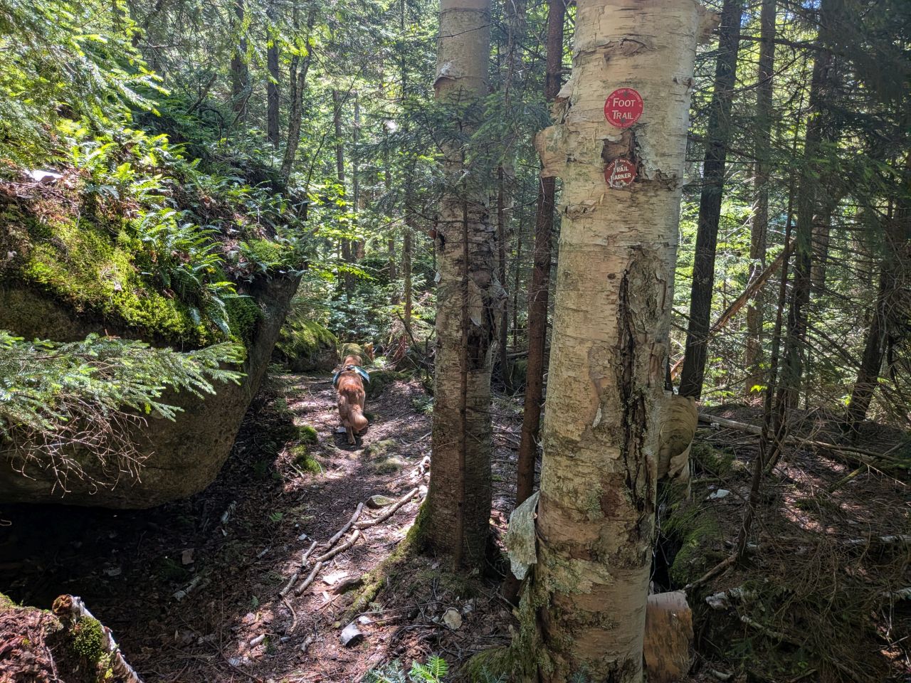
Despite the spurts of elevation gain, the climb up still guides hikers more often meandering around boulders of varying sizes. It's a whole lot of fun.
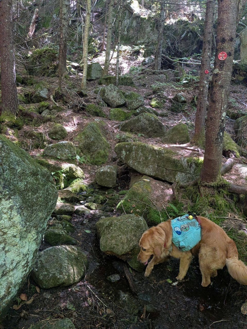
There is a bit of trickling water up there, but no real need for extensive drainage clearing.
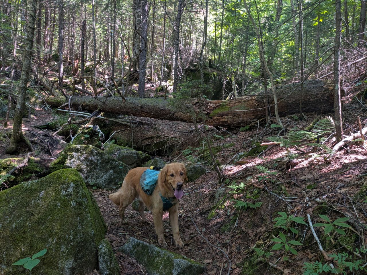
The rugged peace of the pass is really something. It's nice to be hiking on these remote High Peaks Region trails that still have dirt on them! Despite that, I do hope that more people will visit here and experience this unique place.
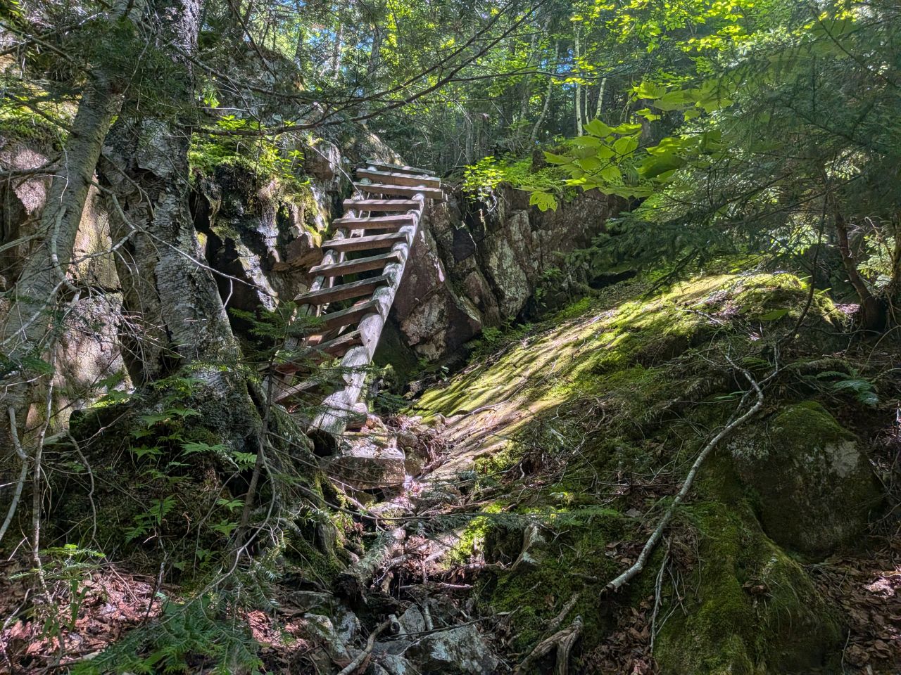
The second ladder is the one that shows up in more people's photos. In those photos, it has a support beam. That support beam is now detached and lying on the ground. Fortunately, the ladder is still usable -- worn, but usable. Like the first ladder, Sunny was able to find an alternate route up (and down) without much searching.
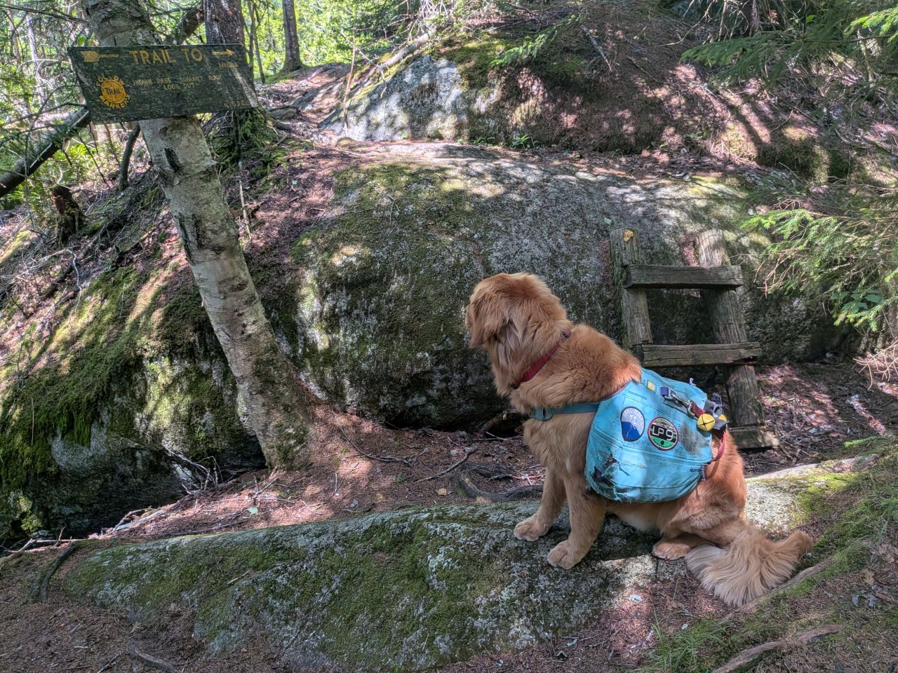
We made it to Summit Rock shortly after noon. The sign is in kind of rough shape, but it's still hard to miss. I cleared away some minor blowdown on the way to the overlook, and then I joined my 'Jersey friends for lunch.
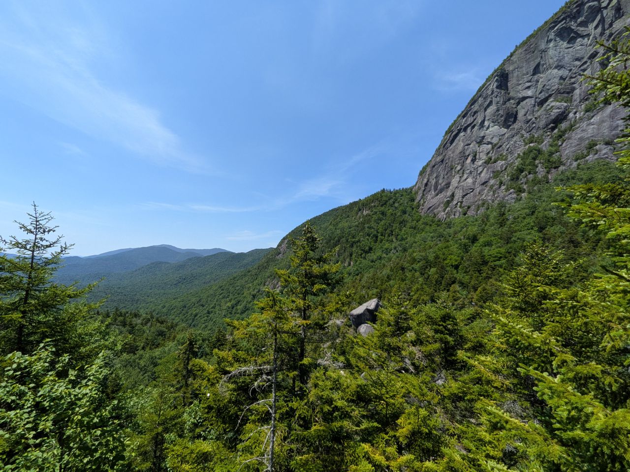
The views are a bit obstructed, but still breathtaking from multiple vantage points. Wallface is magnificent, and aptly named. The vertical slabs of granite are broken into angular geometric shapes shocked with cracks and ledges that must be tantalizing to climbers.
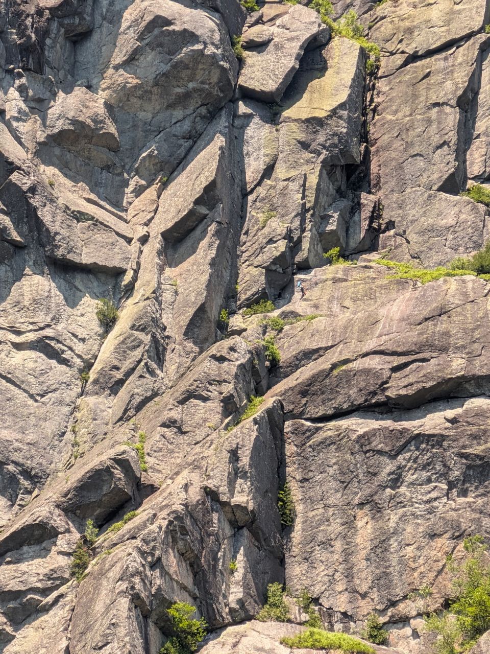
I heard a voice on the wind as we tucked in to our meals. We scanned the wall to see if we could find the climber and one of the others pointed him out. We shouted our hellos and I took a few photos. The tiny speck of blue on the formidable surface of the mountain really illustrates the scale of the structures on its face.
Indian Pass High Point
I left Summit Rock at around 12:30. The trail descends for a short distance before starting the climb again, to the tune of about 170' according to the map. The trail was clearly worse after Summit Rock and my new 'Jersey friends caught up to me fairly quickly. We said our goodbyes. They were on their way to spend the night at Scott Clearing or Rocky Falls, with plans for a well-earned rest after a dip in a swimming hole.
I genuinely have no idea how they made it through all the blowdown that would follow.
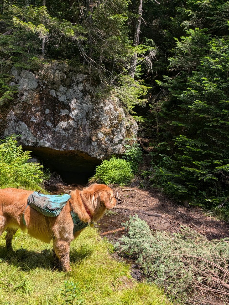
The maps show a marshy area at the summit of the pass, but it wasn't very wet, but it was peaty in places. The place where the trail finally climbs up for the last time crosses over a thick, spongy meadow. I missed the turn at first and followed a herd path forward. I turned us back around and examined the area a bit. I did see a trail marker up the trail, but it was badly faded. I cleared a little more brush here and placed it in the herd path. I think I need to do a bit more sidecutting where the trail enters the clearing so that people are more likely to see the real trail straight away.
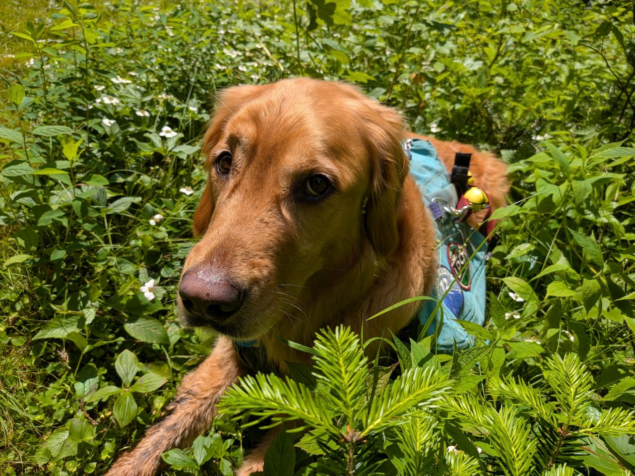
Sunny enjoyed some time in the meadow while I pottered about.
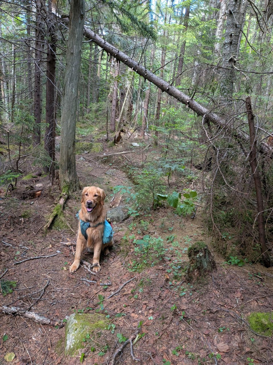
The woods at the summit of the pass ranged from thick to dense. There was a lot of evergreen blowdown on the trail up here. I'm not sure how long it had been since someone with a saw, loppers, and an axe came through here, but it took us three hours to clear .3 mile of trail.
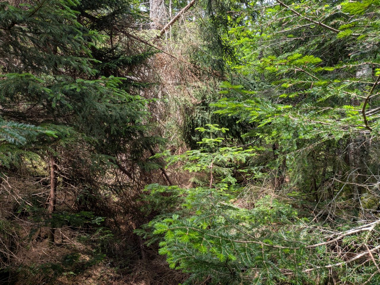
This is the most significant blowdown of the day. It was several trees lying across the trail, one after the other. I attacked it with the loppers first, then the saw. It felt so good to take something impassable and make it usable again.
Again, I have no idea how anyone has gone through here recently. I absolutely understand why the group I met in June got lost coming through here.
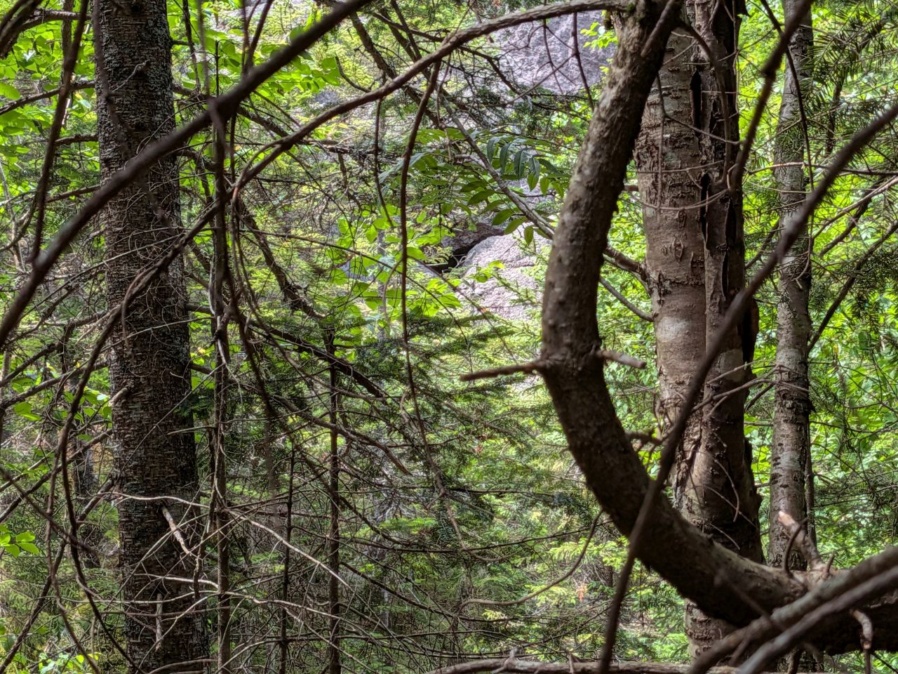
The electronic map insisted there was a shelter of some kind up here. I had a look through the trees and saw a cave in the near distance. It was almost the end of our day, so I didn't wander any closer. However, I will definitely be back to explore.
Also, we'd seen vultures circling earlier and I'd been smelling something dead on and off for a while now. If there was something big dead in the valley floor, I really didn't want to disturb it or get stuck in a swarm of flies. It could wait.
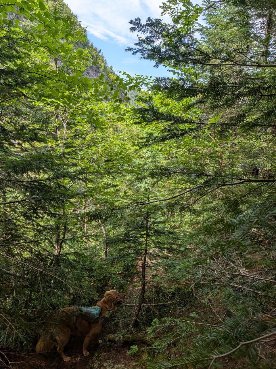
We hiked out to the verge of the descent to the other side of the pass. It was 3:00pm. I could certainly have hiked down to the junction and back if the trail was clear. However, after three hours of sawing, chopping, and cutting, I decided it was better to save it for another day. We headed back.
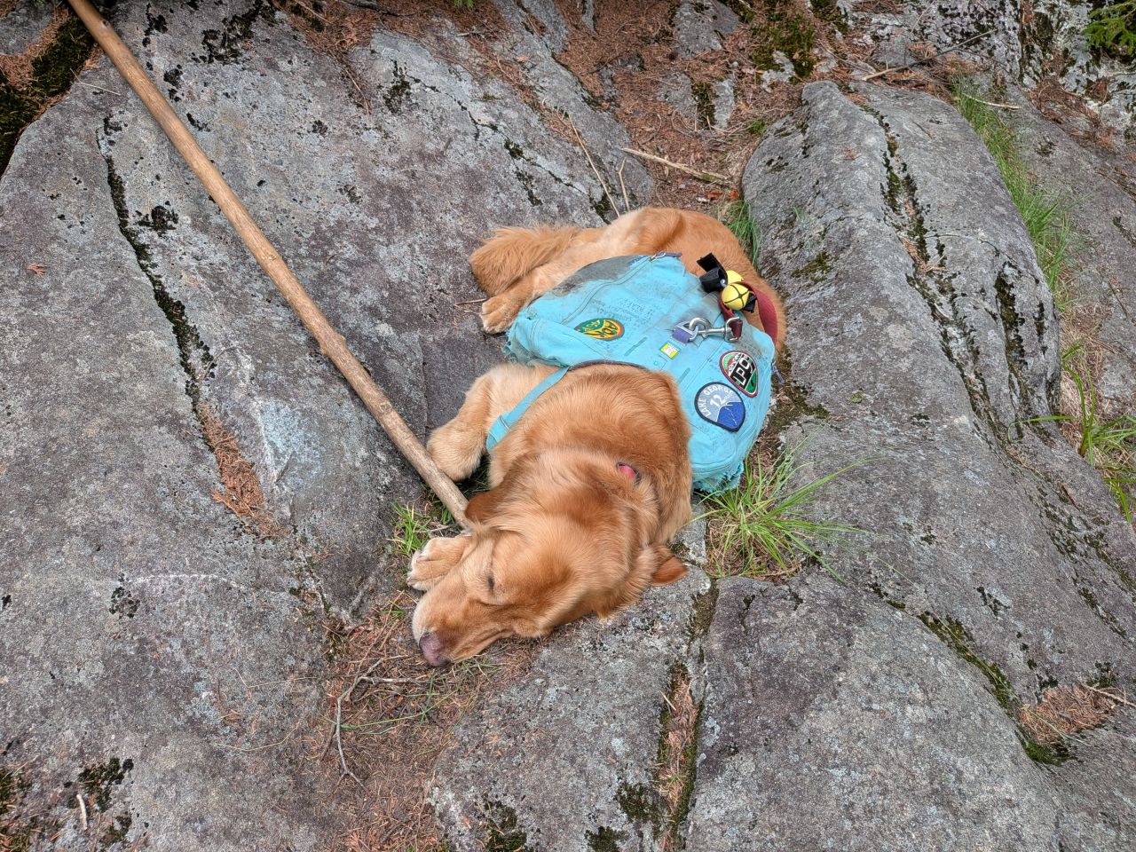
Sunny and I made quick work of the newly-cleared trail back to Summit Rock where we took a nap and drank a beer respectively. It was a real moment of quiet serenity.
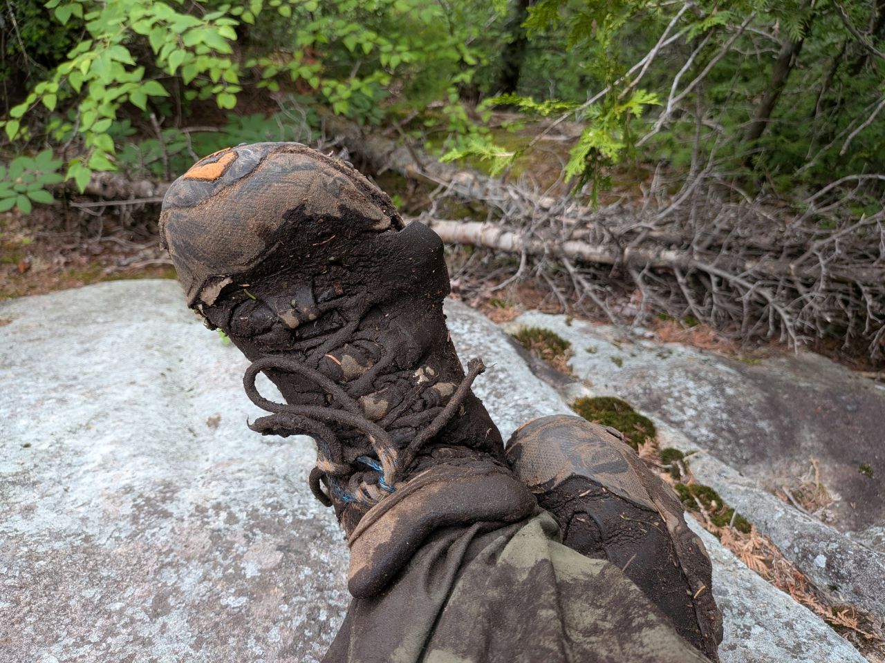
I think Wendy is right; these boots have probably hiked their last trail. RIP, Oboz. You were awesome.
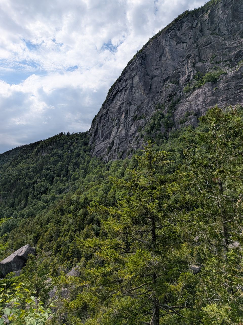
After our long repast and messaging Wendy (2 bars of LTE on Summit Rock), we headed back down the trail at around 4pm.
Racing Home
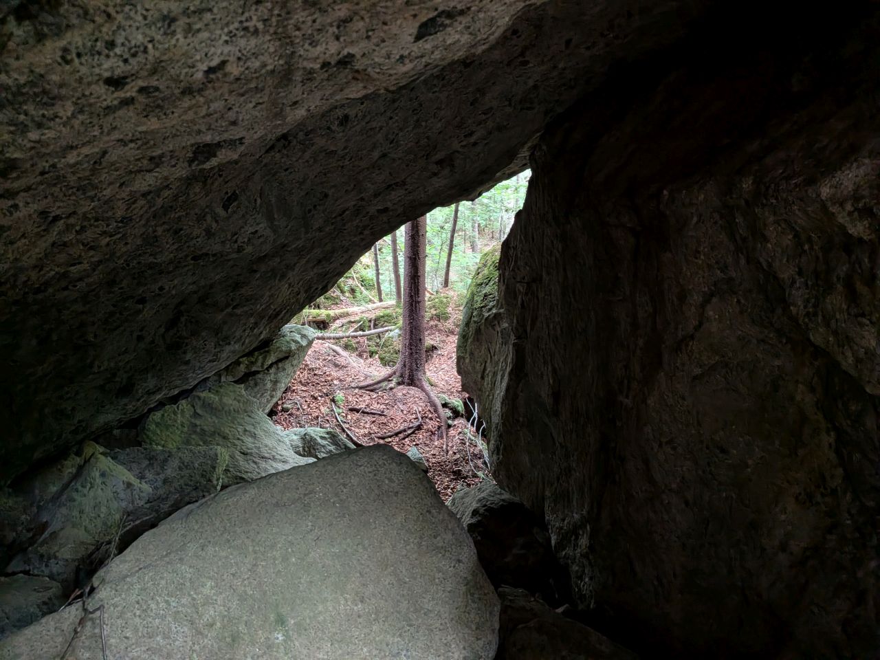
On the way down, I did a little bit of exploring. There are a lot of spaces that provide some incredibly cool air which was refreshing. I didn't find any snow, however, which is something people say you can sometimes find up there in the Summer.
When we passed Wallface junction, we saw a tent pitched in the woods which I guessed belonged to the climber we'd seen earlier. We filled up with more water and were on our way again. The cool water bladder felt great on my back.
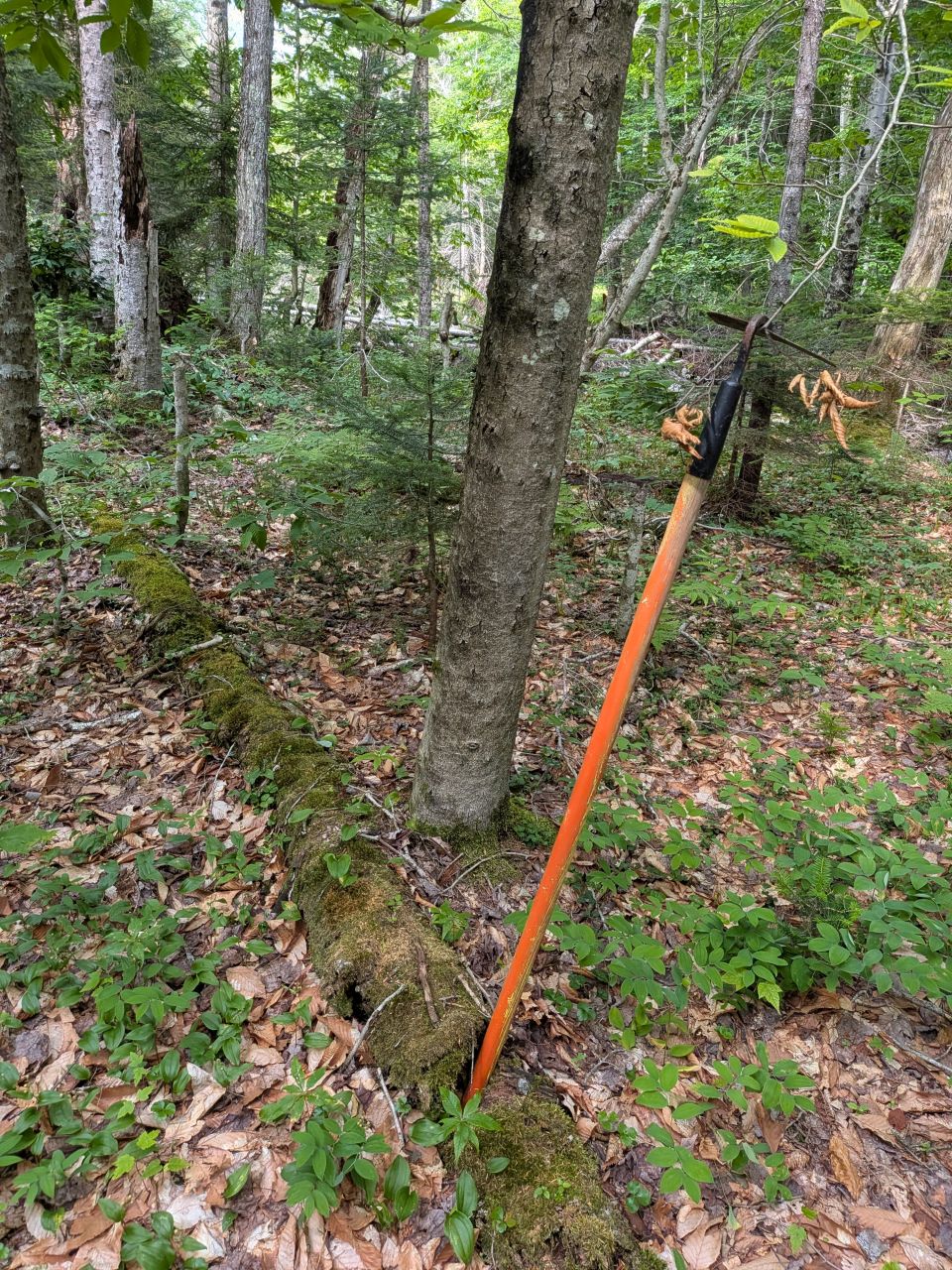
On the way back, I saw my hoe which I'd accidentally dropped on my last trip.
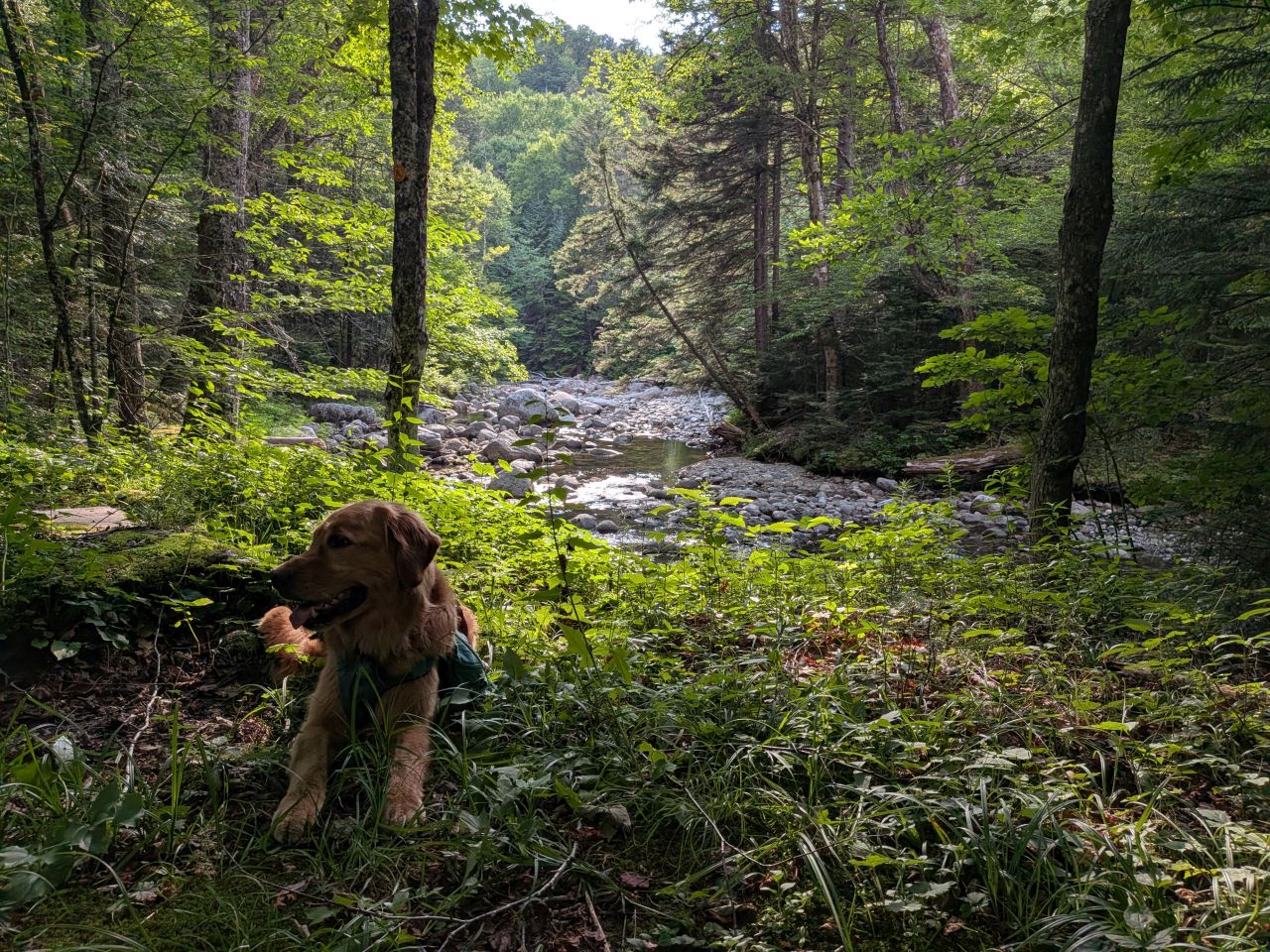
Although we were racing back to the car fairly quickly, we still took the time to enjoy a few quiet moments. Sunny and I only took 2 hours and 45 minutes from Summit Rock to the car. A 35 minute mile is pretty darn good for me at the end of the day, especially after all that trail work.
I'm only a little annoyed we didn't actually make it to the Cold Brook junction. I was really proud of how clear and easy to follow the trail was on our return trip. It was satisfying.
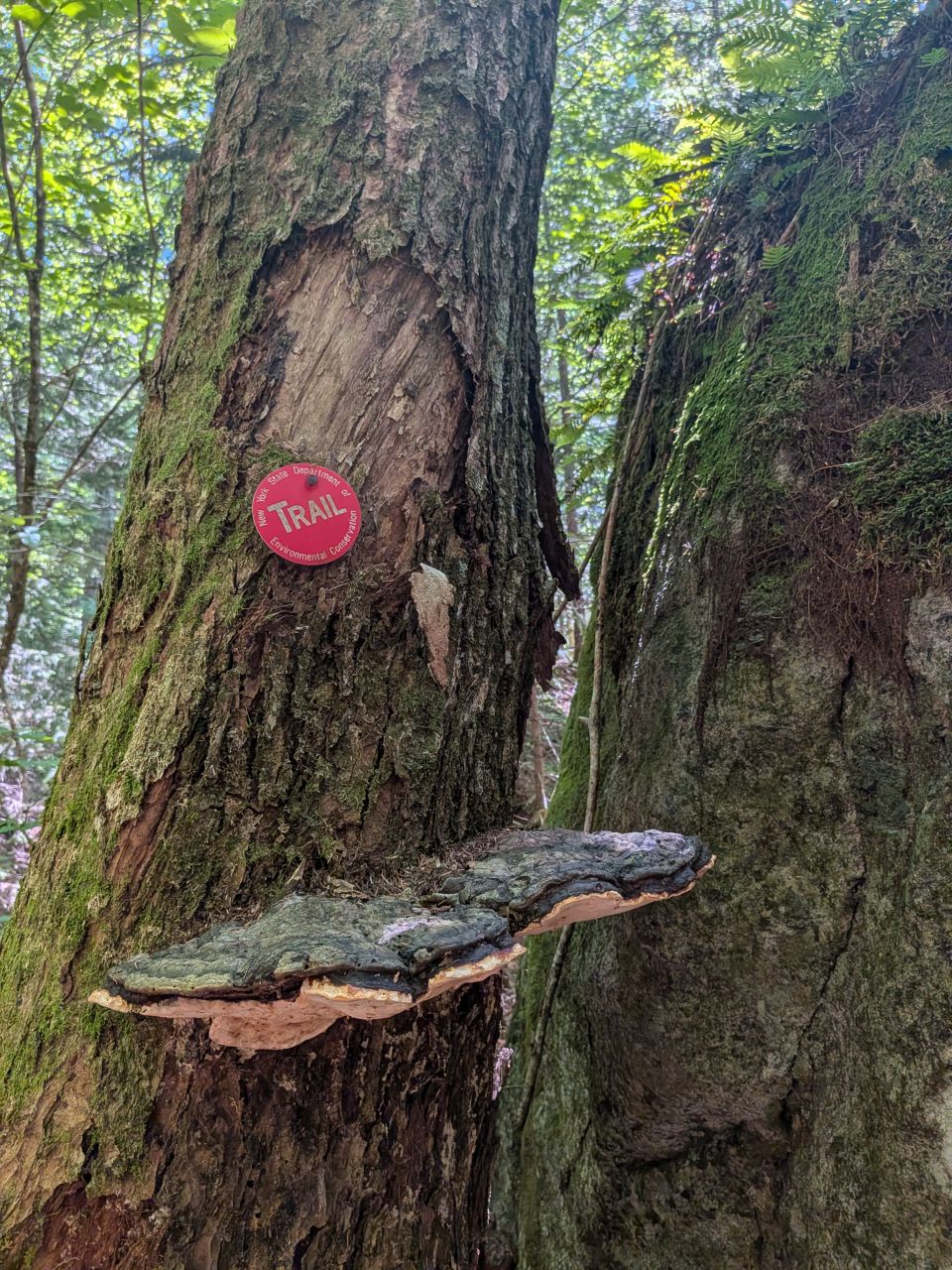
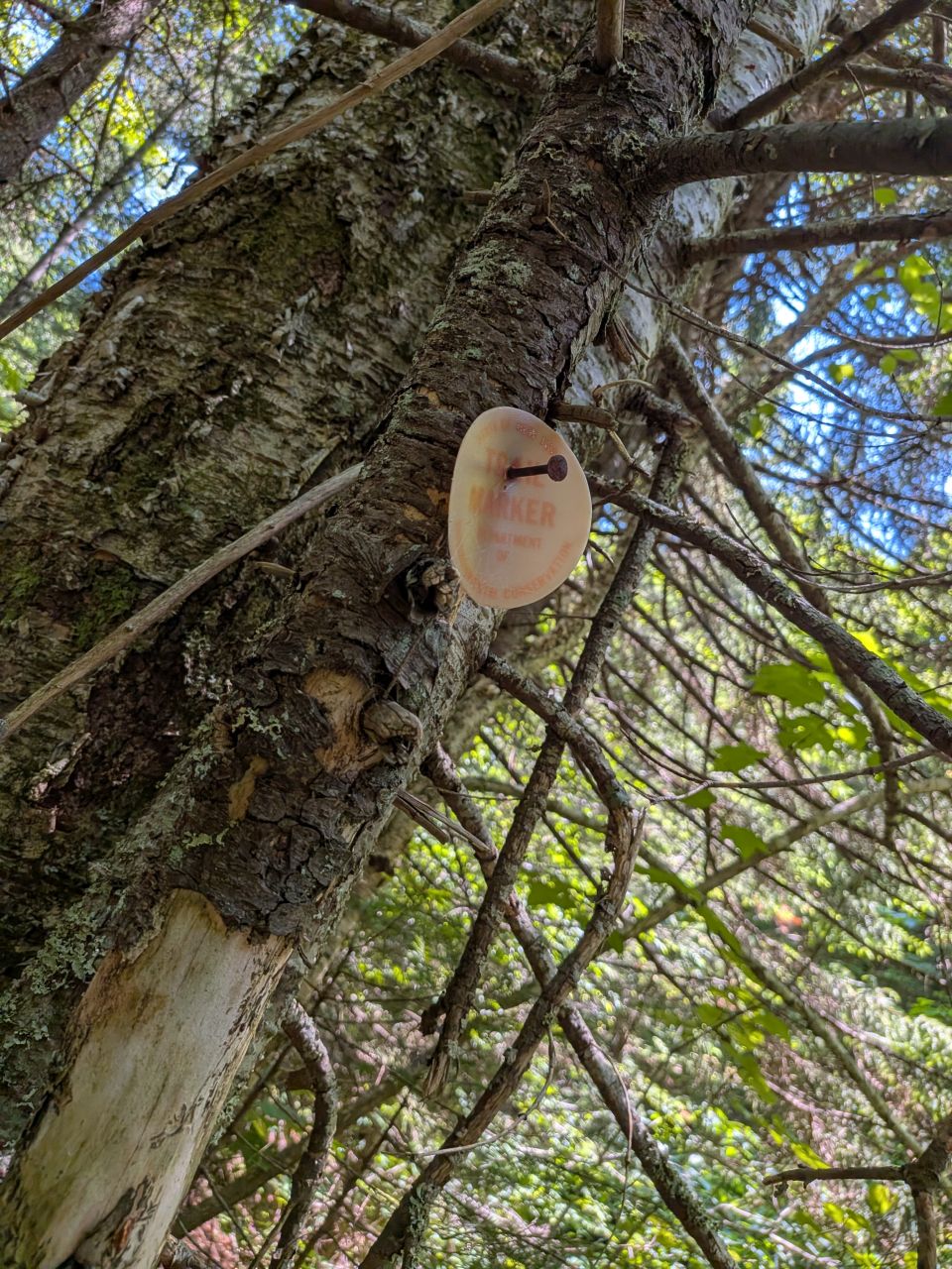
I'm really jonesing to get those trail markers. I know I need two at the switchback I discussed earlier, one at the peat meadow, and six at various crossings. After that, I need to make sure the stretch of marshy trail between Wallface Lean-to and Wallface junction are clearer, cleaner, and easier to follow. I think that section of the trail has been rerouted countless times throughout the years and it tends to wind in and out of various streambeds which isn't always obvious.
I'll be back before too long, though I'm not totally sure when. I have some projects at home that need attention and I want to do some hiking with Quinn. However the next few weeks play out, the Summer has already been pretty awesome. I'm looking forward to seeing what else it has in store for us.
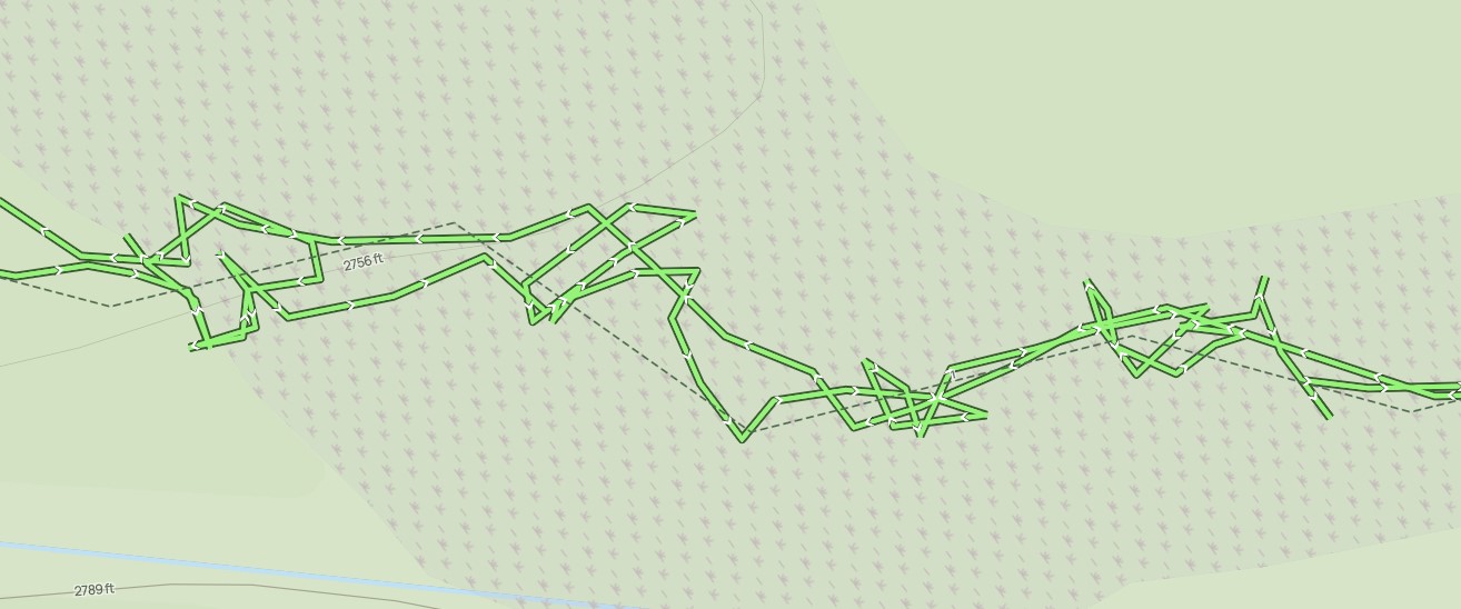
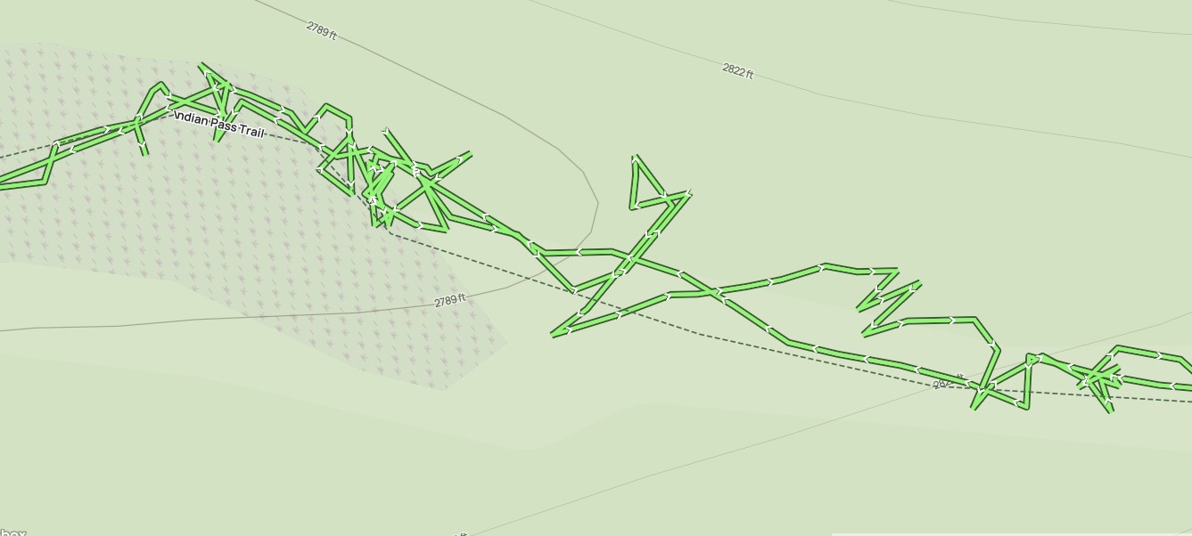
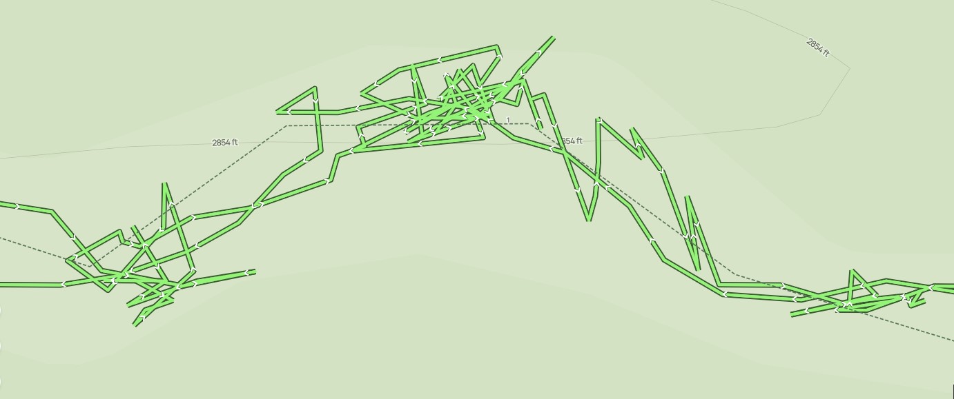
Route Map