Retread from Upper Works to the Notch
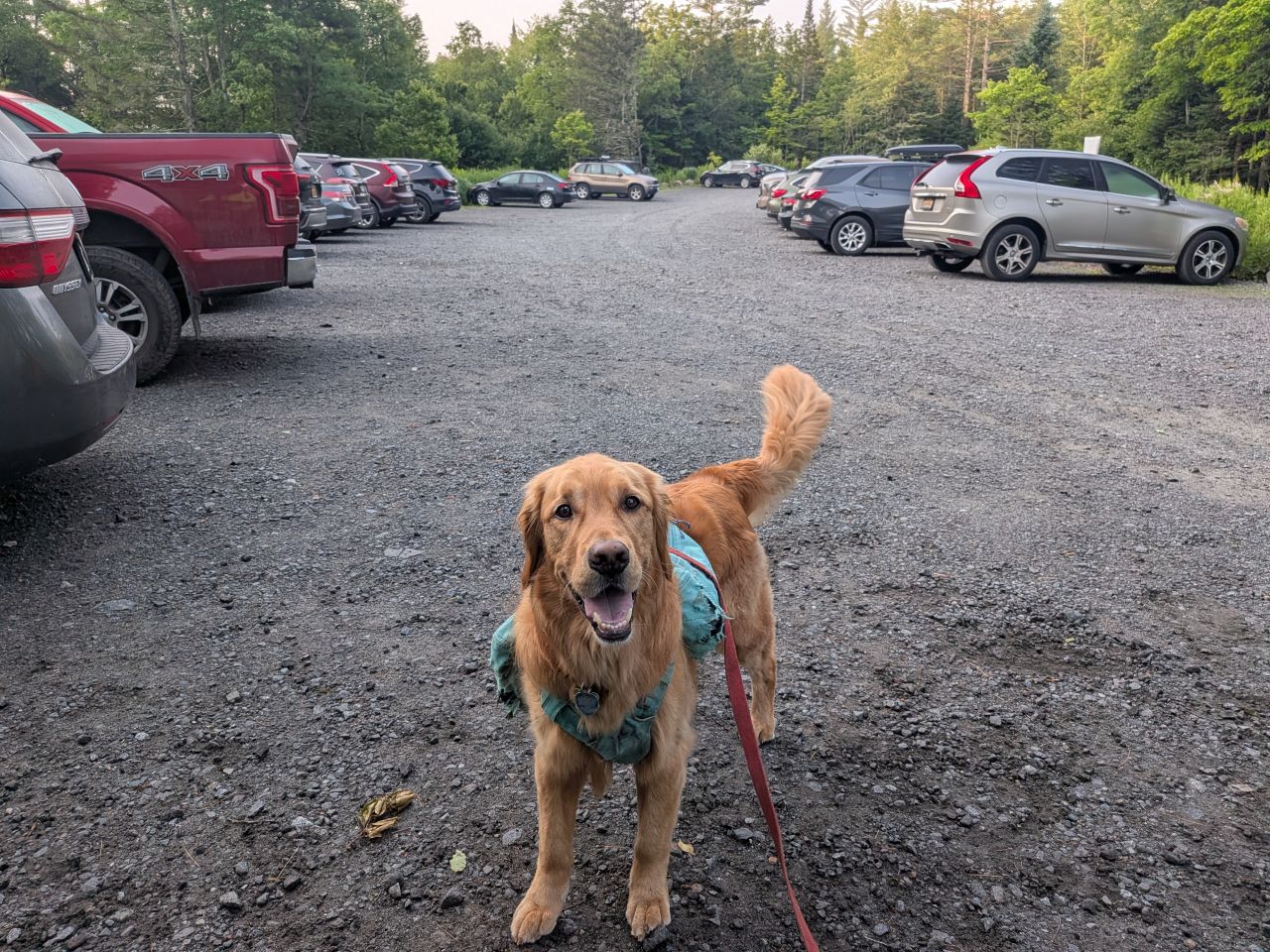
We arrived to a surprisingly full parking lot for a Monday. We hit the trail at 7am. The temps hadn't risen into the 50s yet and the sun was shining. When we signed in, I saw that the log book was full of hikers on overnights to Marshall, Cliff, and Redfield as usual, with a smattering of other adventures.
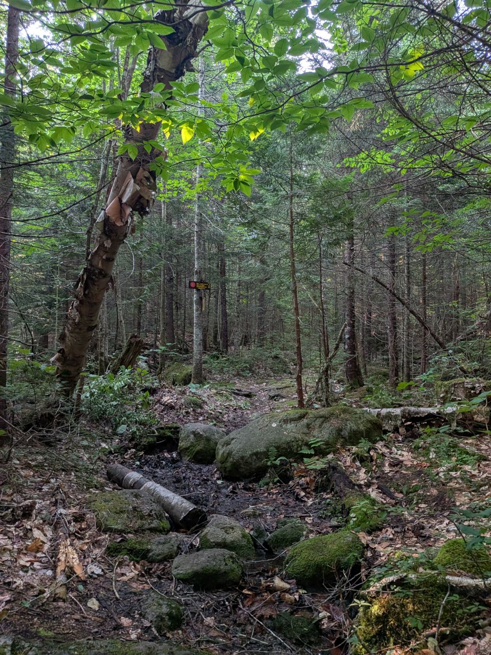
When we arrived at the Calamity Brook Crossover junction, I stopped to clear more foliage that was obscuring the sign post. I am feeling even better about how this looks now. It is extremely visible even from a distance. I've learned to actually consider some of the vegetation several yards away from an important blaze or landmark in order to ensure hikers don't miss them.
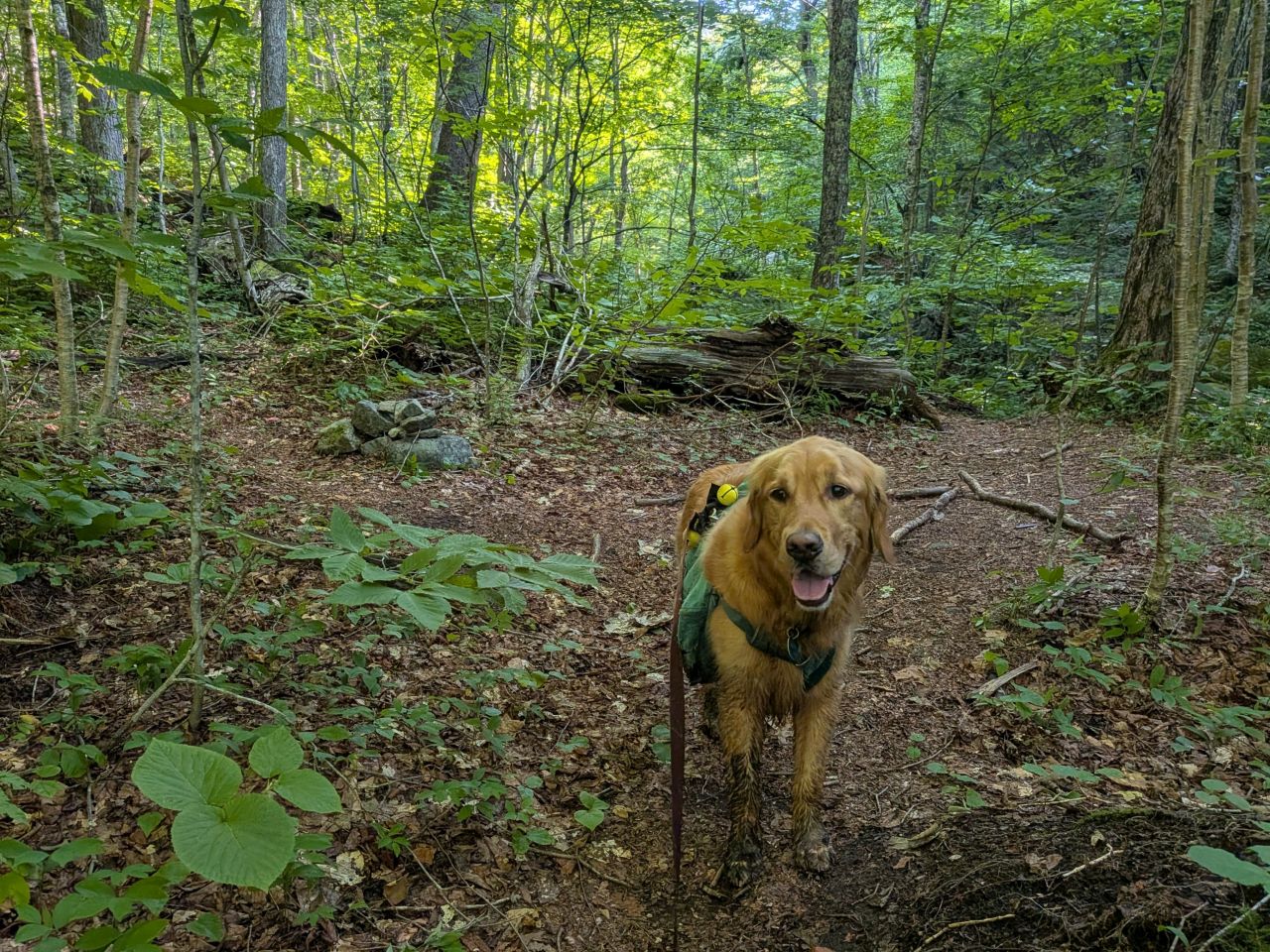
Sunny and I reached the Wallface junction by 9am, two hours after we started. The trail is so fast now. This is obviously thanks to not only our maintenance, but the dry weather we've had recently.
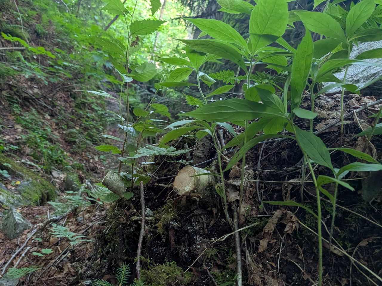
On the way up, I noticed several little trees have started to lean under the weight of their leaves. Normally, I'd say live and let live, but if their roots are pulling the dirt and moss off a boulder or stone and they are leaning into the trail, then they've gotta go.
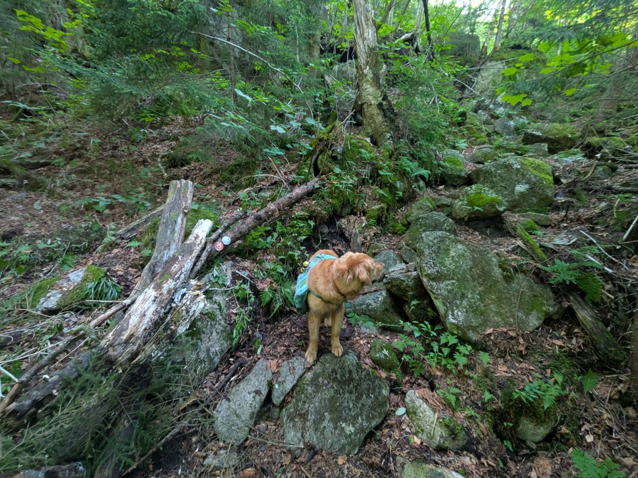
I also stopped to add more brush-in to the spot where I went off-trail last time. I'm hoping that the switchback is a lot more visible now as you approach from the South (the right of the photo, off-camera).
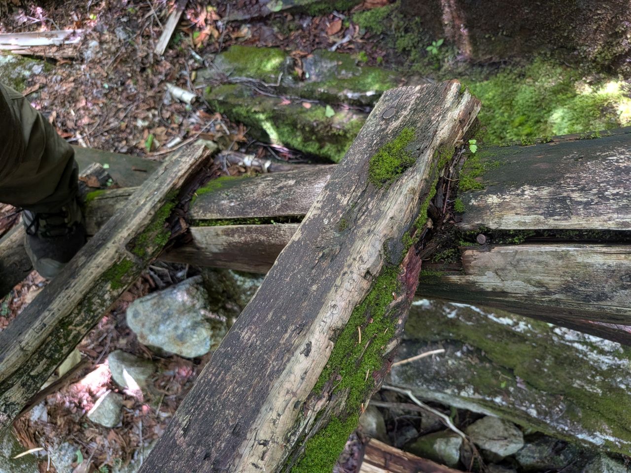
I decided to take a closer look at the big ladder nearly at the top of the ascent. I noticed that the rungs are actually starting to get deeply rotten. I reported this to the forester. It does feel sturdy, but I'd exercise caution while climbing this thing.
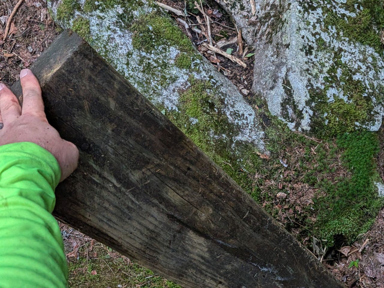
There was also a pile of leftover boards lying next to the ladder. I nicked one for future use uphill.
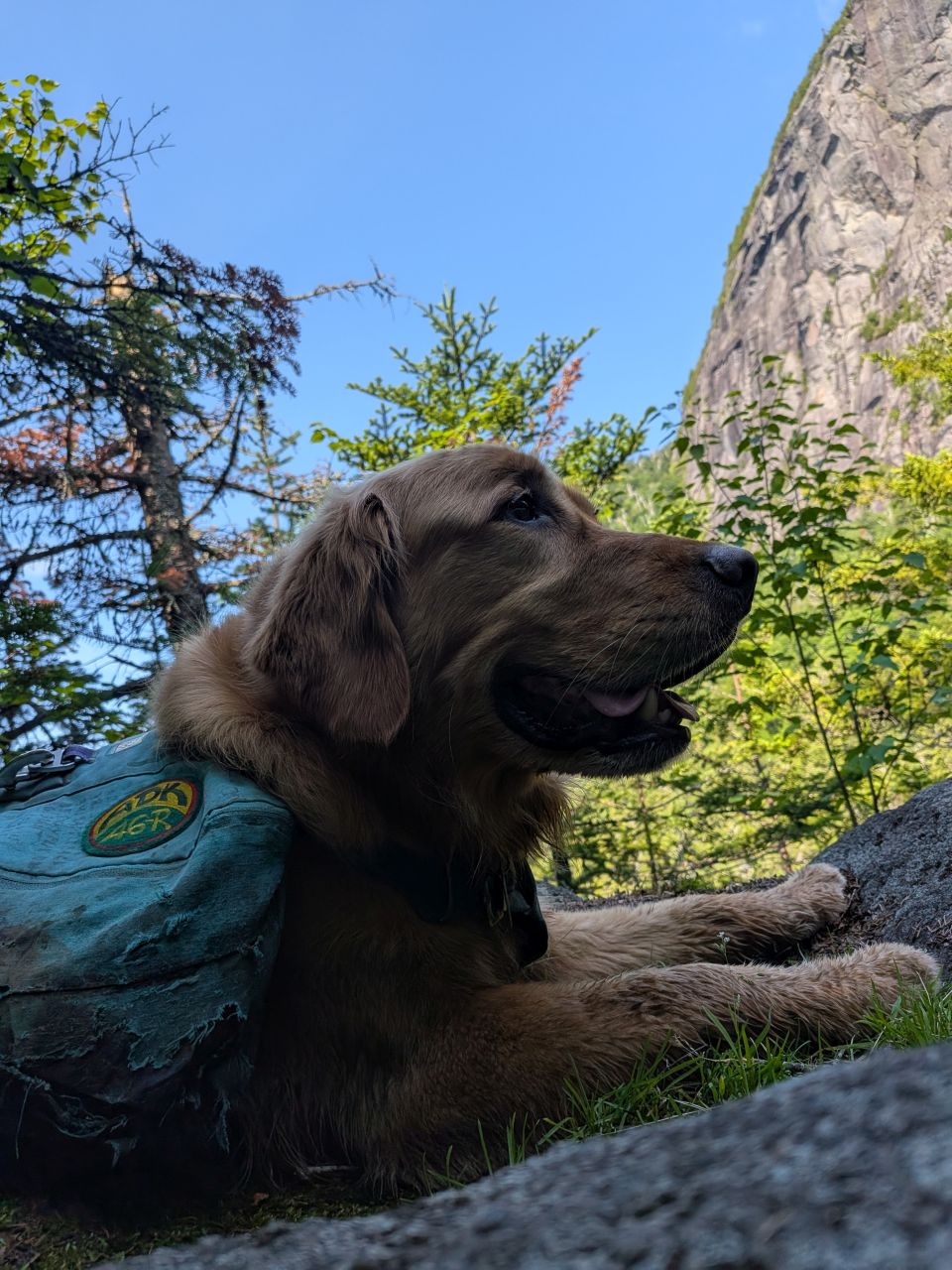
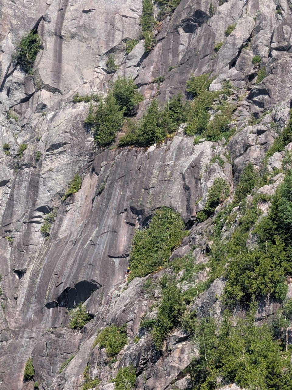
Of course, we stopped at Summit Rock for views, snacks, and messages to Wendy. We saw more climbers scaling Wallface.
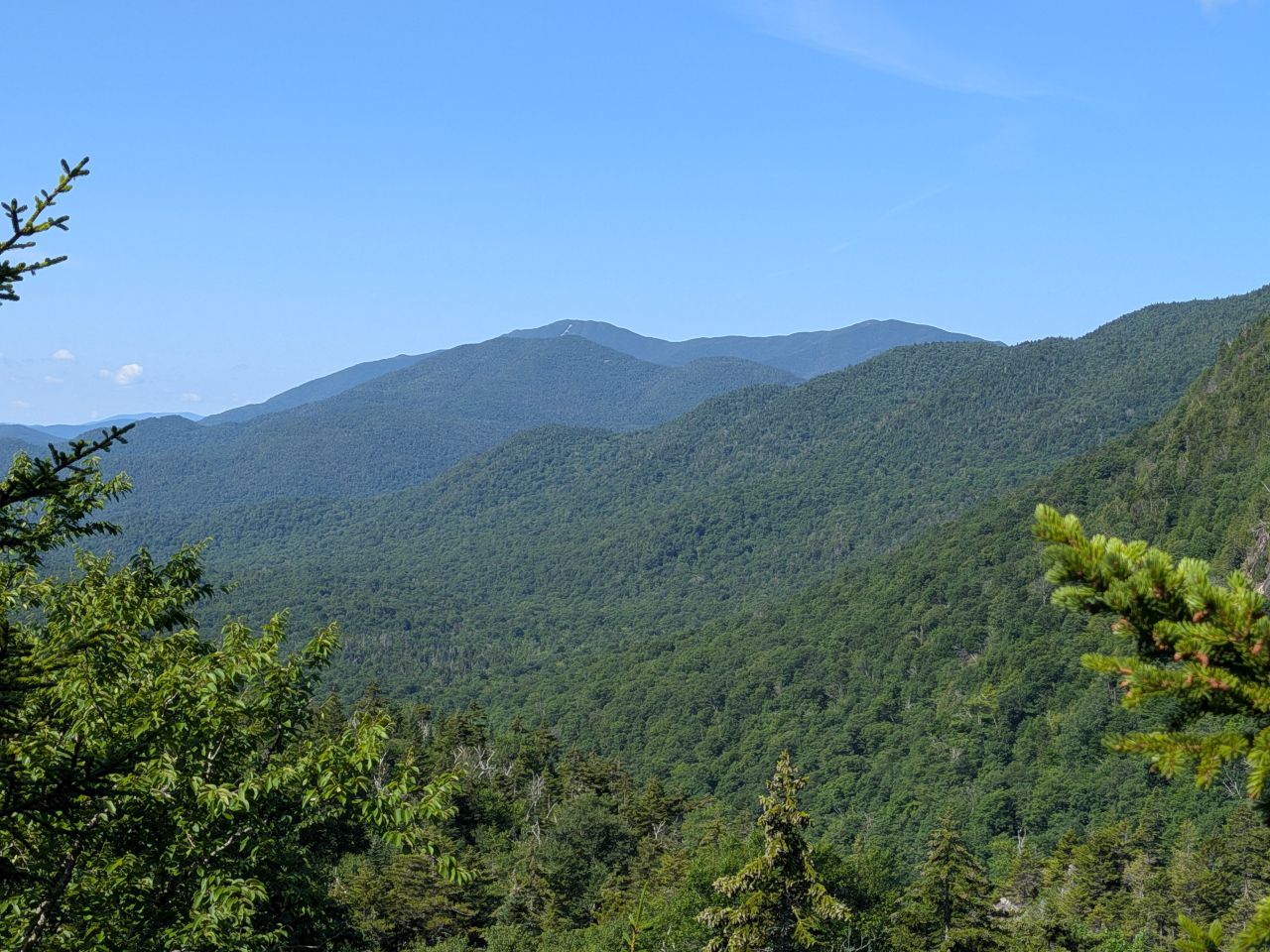
It was a beautiful, clear day. Santanoni was only slightly dimmed by haze.
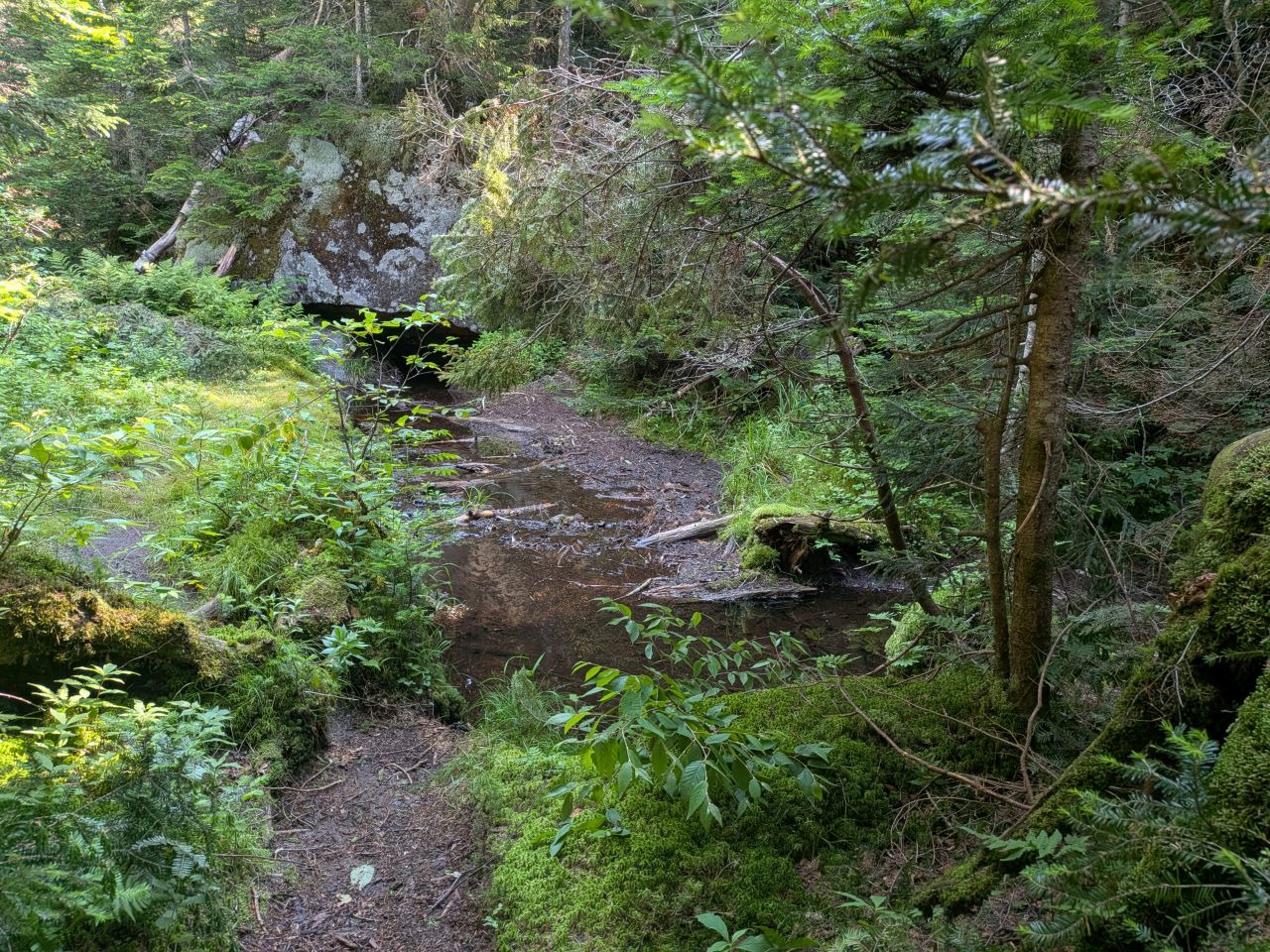
This section had been bugging me ever since we left it last week. It is easily missed and traverses a bog that's been worn thin. I remembered that the foliage on the right was quite dead or broken and I cleared that out.
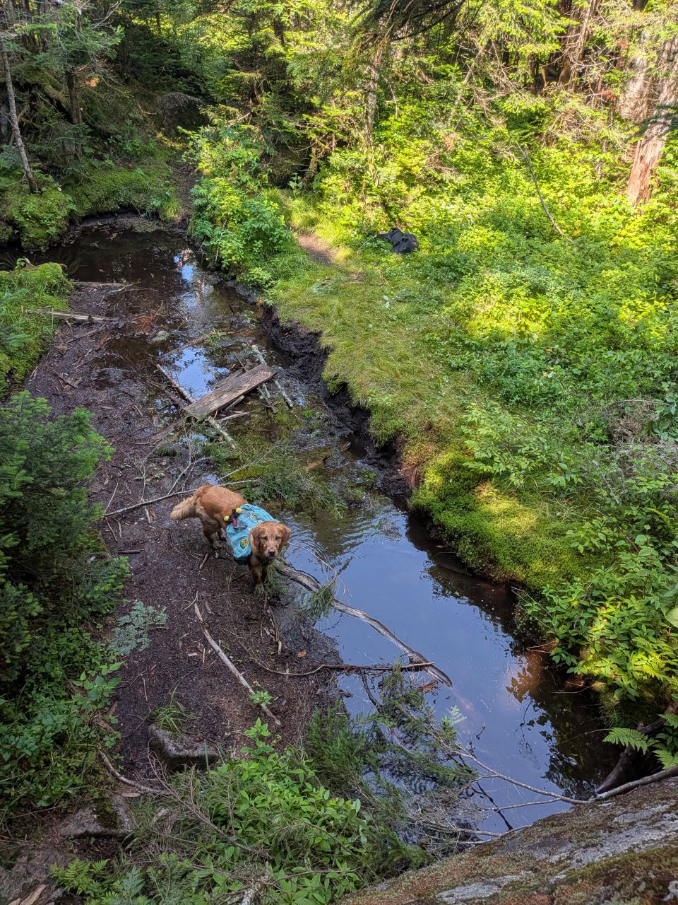
I made a rudimentary bridge with some logs and the plank I'd stolen. After that, I climbed up to the top of the big boulder on the other side of the drainage so I could cut back the foliage that was hiding the trail marker. Sunny was not happy about this.
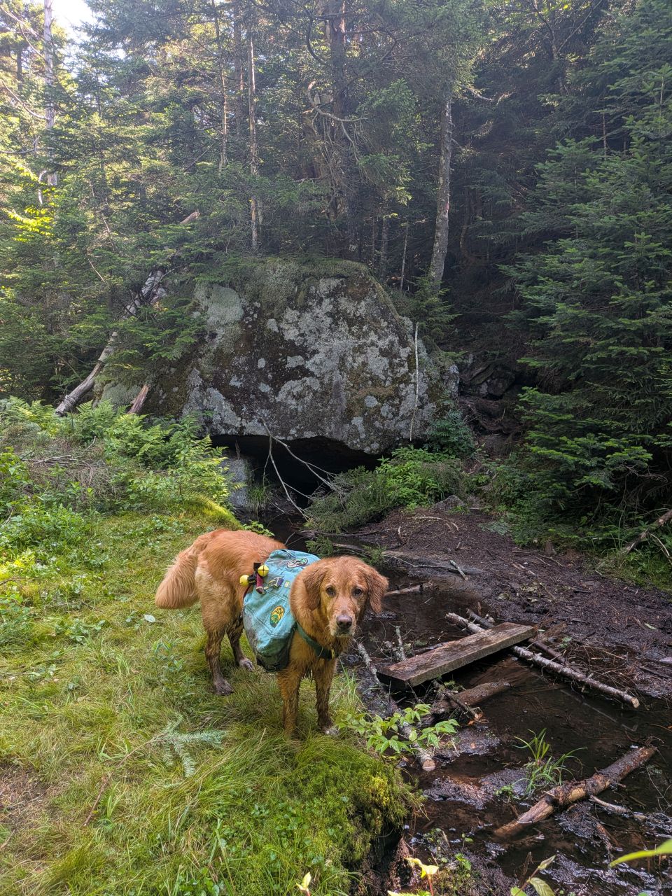
The way is much clearer and traversable now.
I'm sure I'll have to do better with the plank to make sure it doesn't sink and block the movement of water in the future, but it's serviceable for now. My plan is to bring 6 pieces of pressure treated wood and steal another plank from the debris by the ladder. Then, I'll nail feet into both planks. The plank crossing the deeper water will have two feet stacked on each side while one in the mud on the far bank will just have one foot per side.
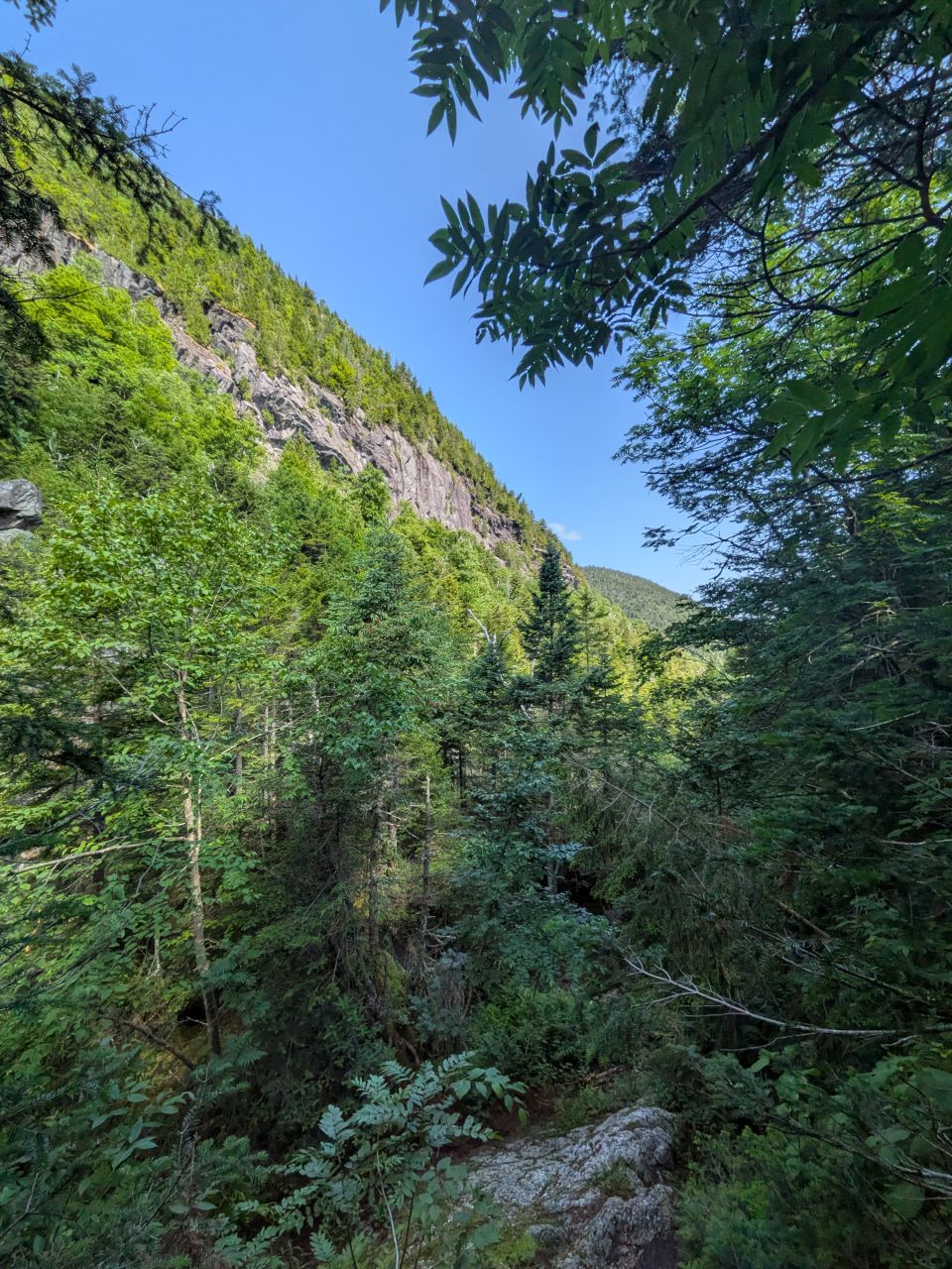
By 10:50 we had reached the point where we'd wrapped up last time.
The Notch to Cold Brook Junction
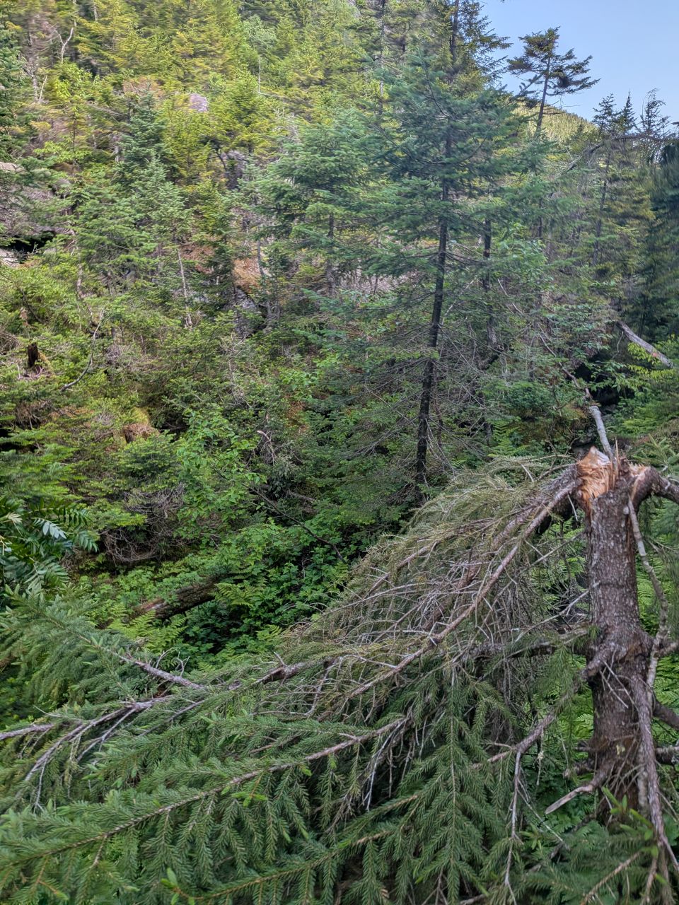
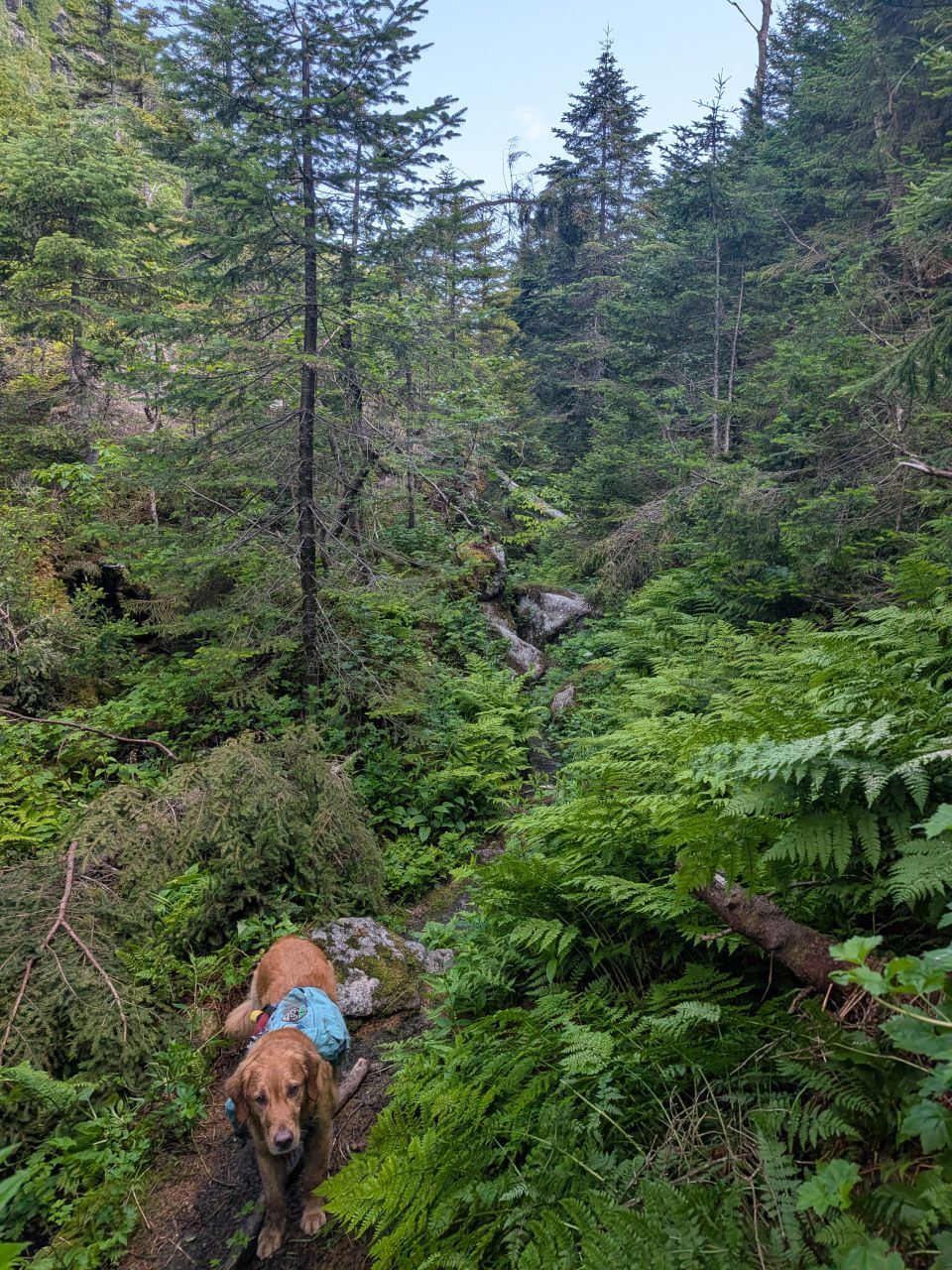
The trail started off by immediately blocking our path with a moderate blowdown. Many of the little conifers up here are firmly rooted in the ground, but snap somewhere in the middle. This one ended up getting lopped and cut to the point where all that was left was one branch.
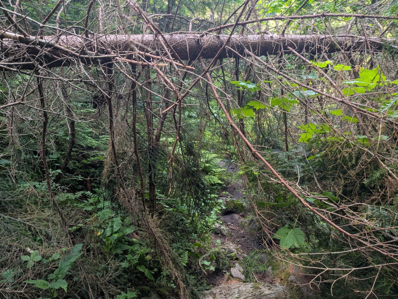
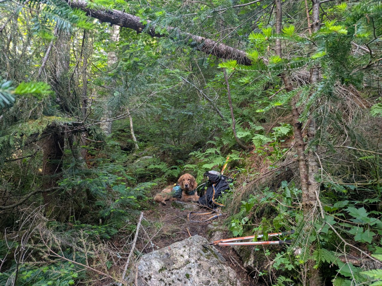
Some of the blowdown was high enough (for now) that it didn't really warrant full removal. I lopped the branches so that hikers or rangers with a litter could duck under.
This is the spot where I met up with a pair of rangers hiking South from the North. Sunny barked as they approached and I apologized for that, but they were cool. We chatted a bit about the trail. They agreed it was in dire need of maintenance and trail markers. On their way back, they commented that the trail was in much better condition and thanked me for my work which was really nice to hear.
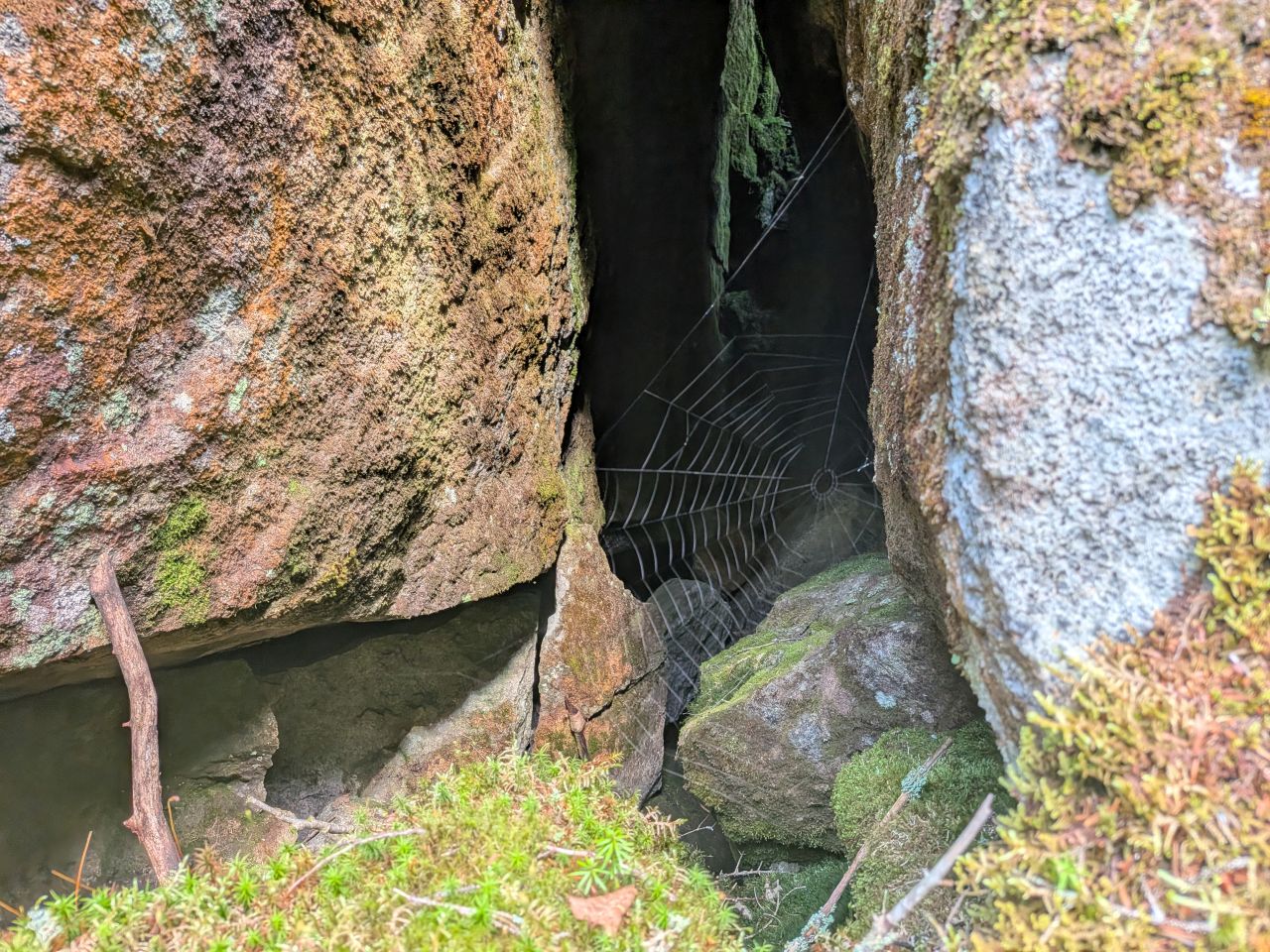
Baby Shelob's work.
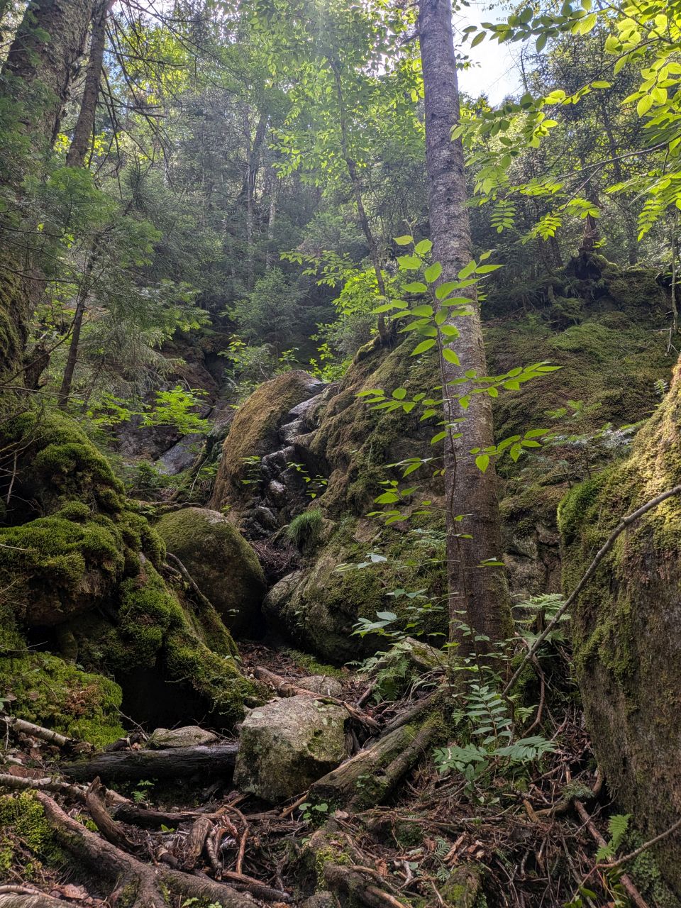
I included this photo simply because I really like the composition of it. It really shows off the rugged, primeval nature of the trail along the North side of the pass. The rocks are mossy and the trees are ornery. As we descended, the rock became more iron-rich, a contrast to the slabs, rocks, and boulders of light-colored granite piled along the length of Wallface. I had to be a bit more careful with my footing here because the rock was smoother.
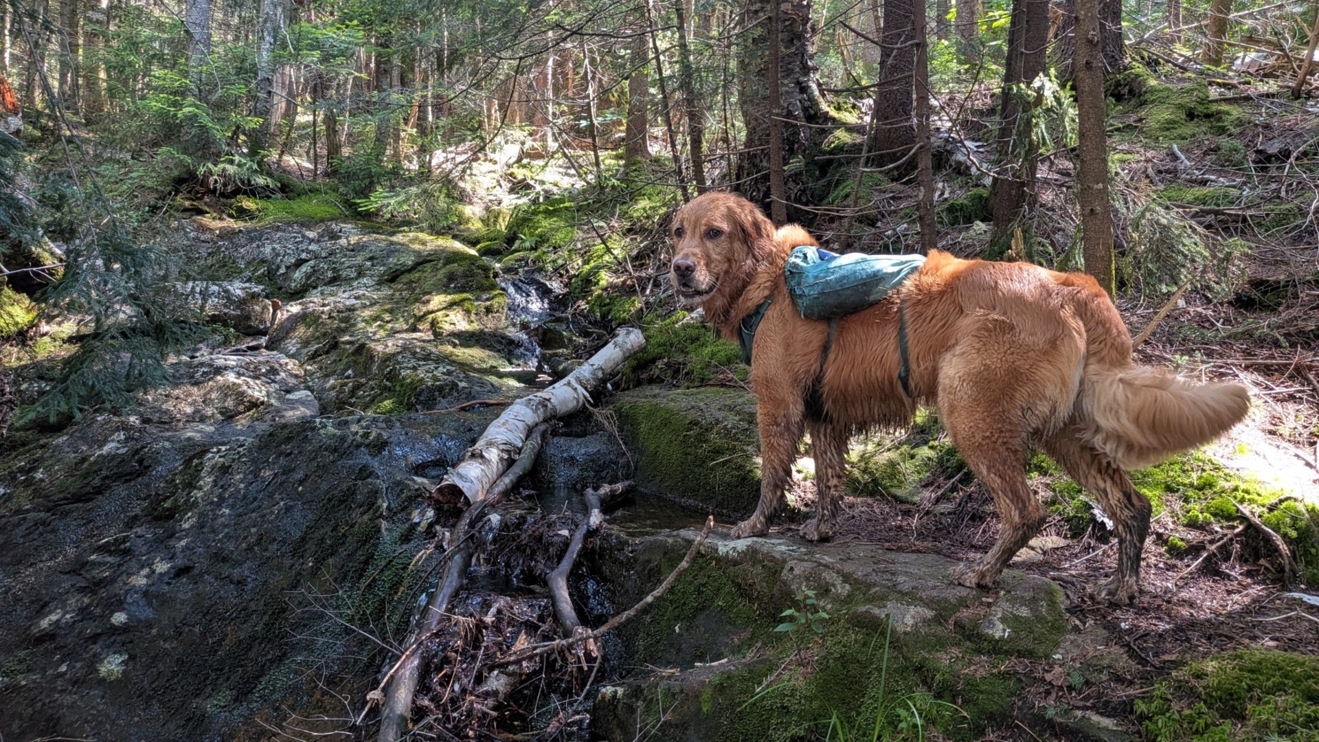
Here, you can see the natural "steps" some hikers use to scale the boulder. There's also a more gentle path along the face of the ridge to the right of that tree in the foreground. The climb down was never really dangerous, but there were a few big to medium ledges to scale down. I don't think there were any worthy of ladders; mother nature had done a good job of providing a way down.
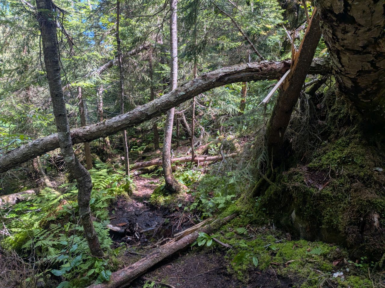
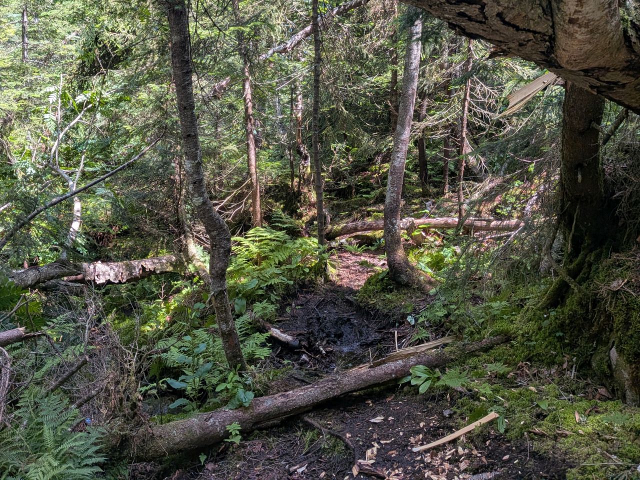
This blowdown was just annoying enough to have to remove. It was pretty good to swing the axe, I have to admit.
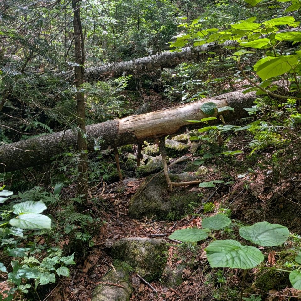
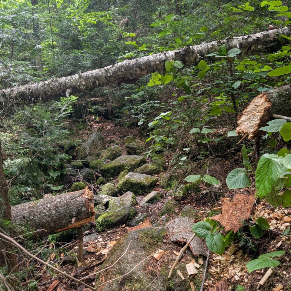
This was the big one of the day. The far trunk was high enough to classify as "easy under" but the close on might have been considered an "easy over", but the combination of the two was untenable. I was especially concerned about any rescue litter passing through. Moreover, there were very few trail markers on this side of the pass and I feel like seeing logs chopped by an axe or cut by a saw actually makes for a good indicator that someone is on the trail.
I left the high log for now. I haven't shown pictures of every blowdown I came across and the day was starting to wane. I figure if the trail is still in good shape when I come back next, I'll go ahead and deal with it then.
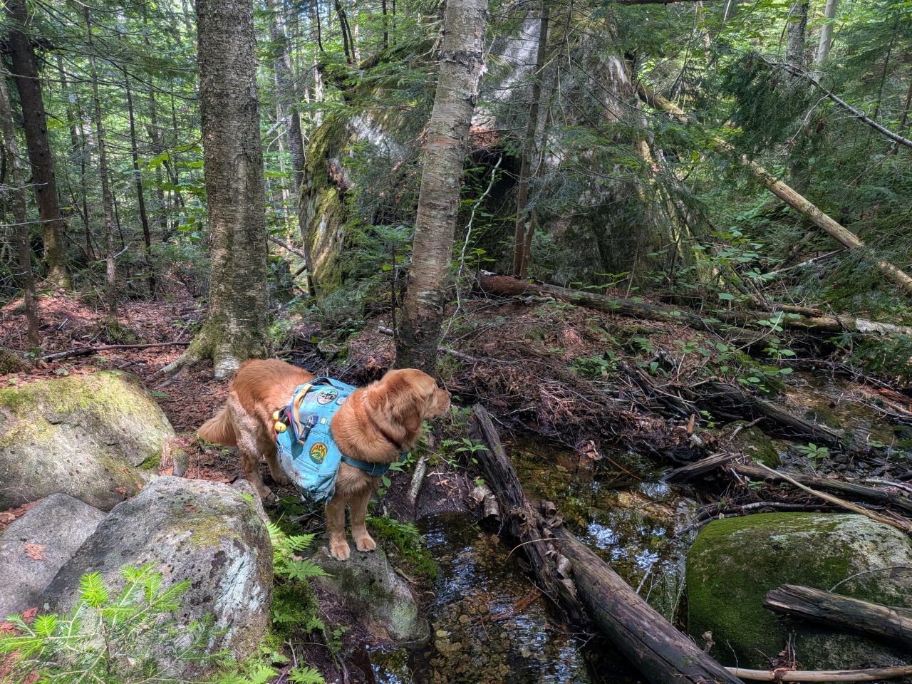
I continued to be impressed with the primordial nature of the trail on this side of the pass.
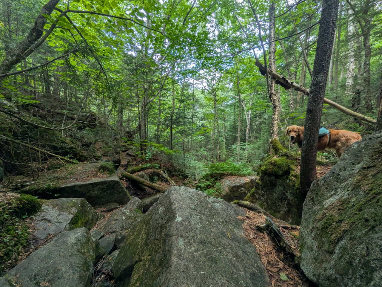
The trail started to level out after about 3/ or 4/10ths of a mile descent. It had taken about 3 hours to clear a path that far. I was feeling the burn, but the day remained gorgeous. Sunny and I were loving it.
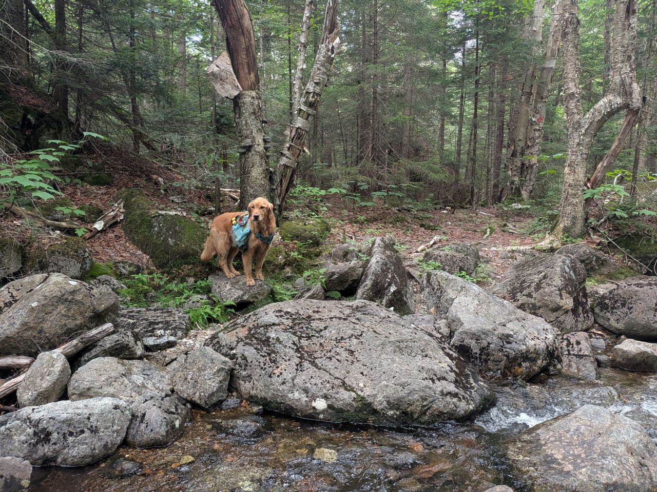
Shortly after, we came to the Northen Indian Pass Brook. The source of this brook is Scott Pond. I suppose, if you wanted, you could hang a hard left and hike up to Scott Pond from here instead of from the North. Indeed, older maps show that this actually used to be the trail.
By contrast, the Southern side of Indian Pass Brook sources from the Wallface Ponds. The maps mark them as the same brook, but in reality, they're two different brooks.
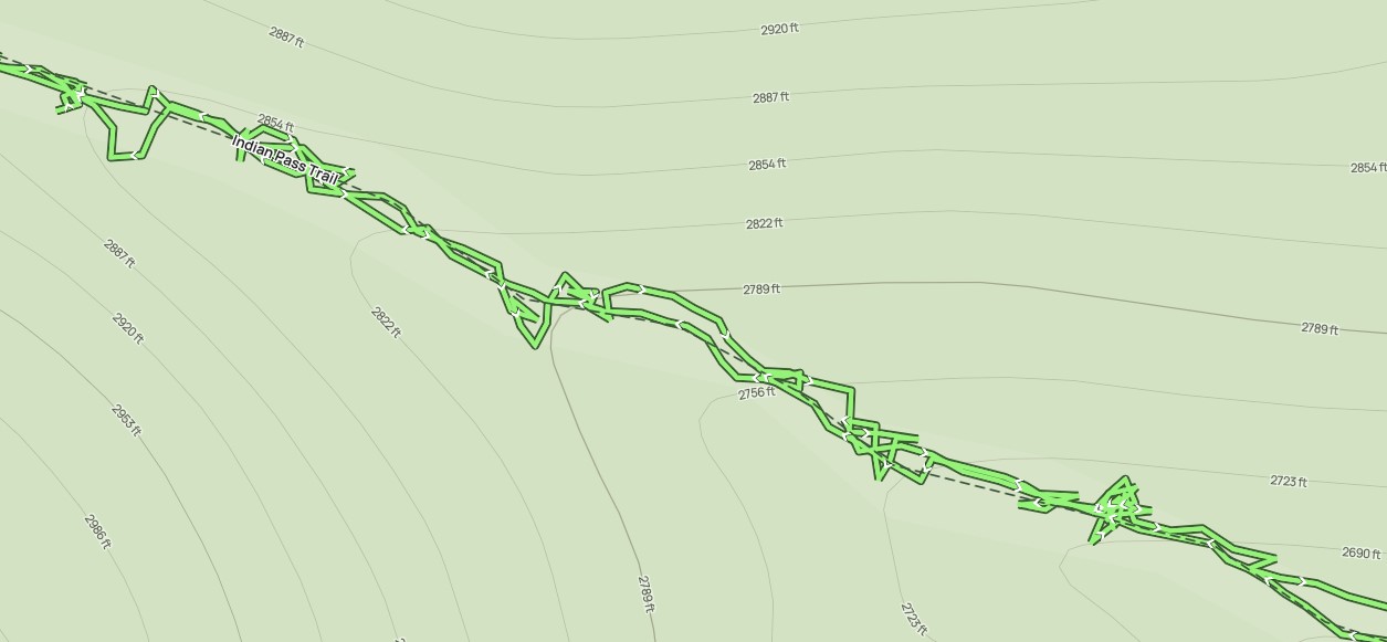
Also of note is the fact that the online maps tend to show the trail marching on the left side of the brook and marshes as they meander through the pass. Although the GPS markers are correct on the online maps, the location of the trail and streams are a bit foggy. Even paper maps (both recent and old) are a little confused. I think it's not just a matter of fidelity, but also the changing trails and terrain over time.
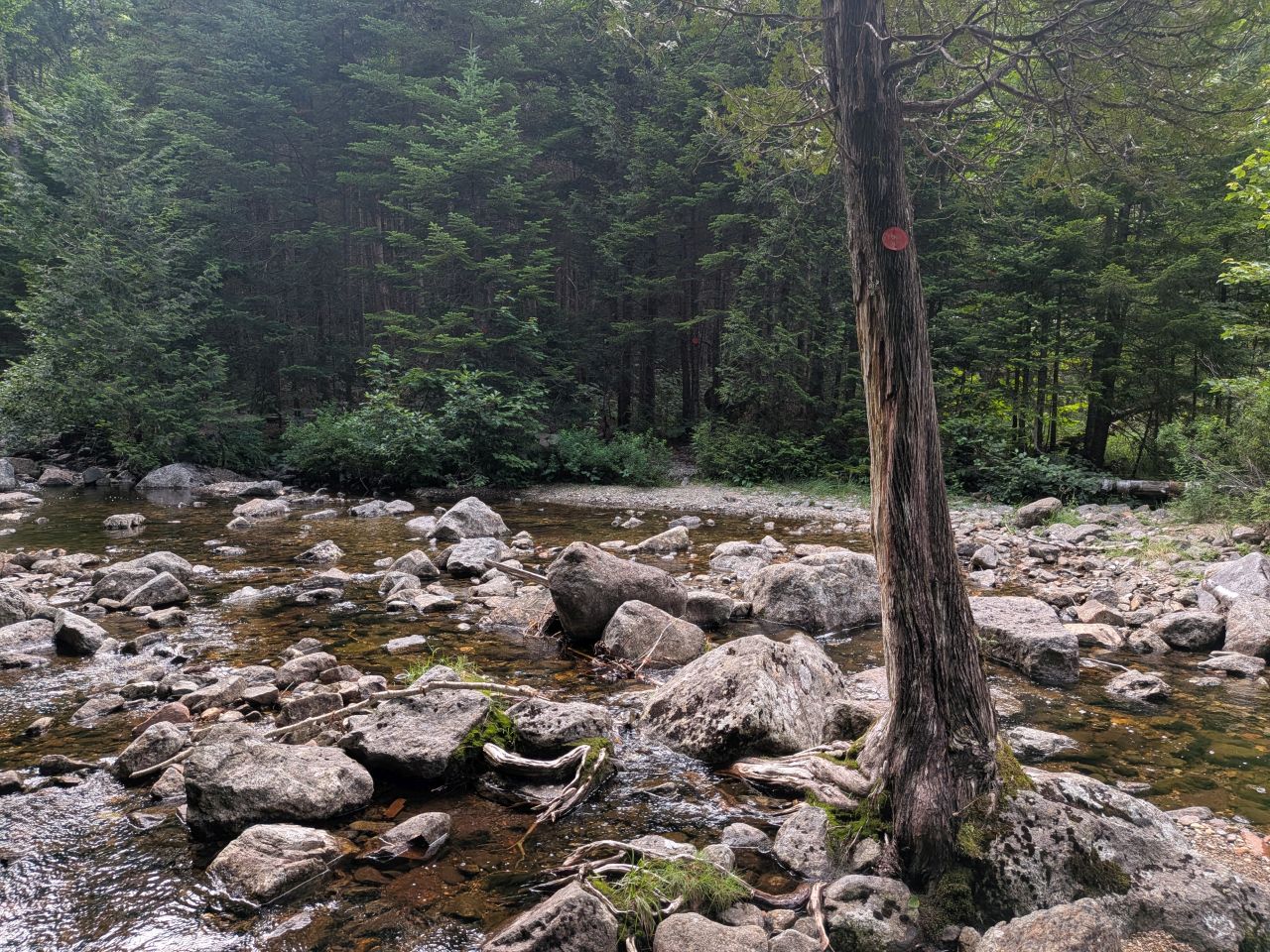
After a bit of a hike through the woods, the trail crosses the brook. This is a shot from the East bank looking back. You can kind of see where there's a bit of a streambed wandering off to the West. If you're in a situation with high water, I think you could probably make your way on the West bank without much issue. The topos from the 1950s show the trail was over there at one point anyways. However, the current trail (as well as the trail in topo maps from the early 1900s) moves along the East bank. I think this makes sense for destinations to the East because you want to re-cross the stream as soon as possible.
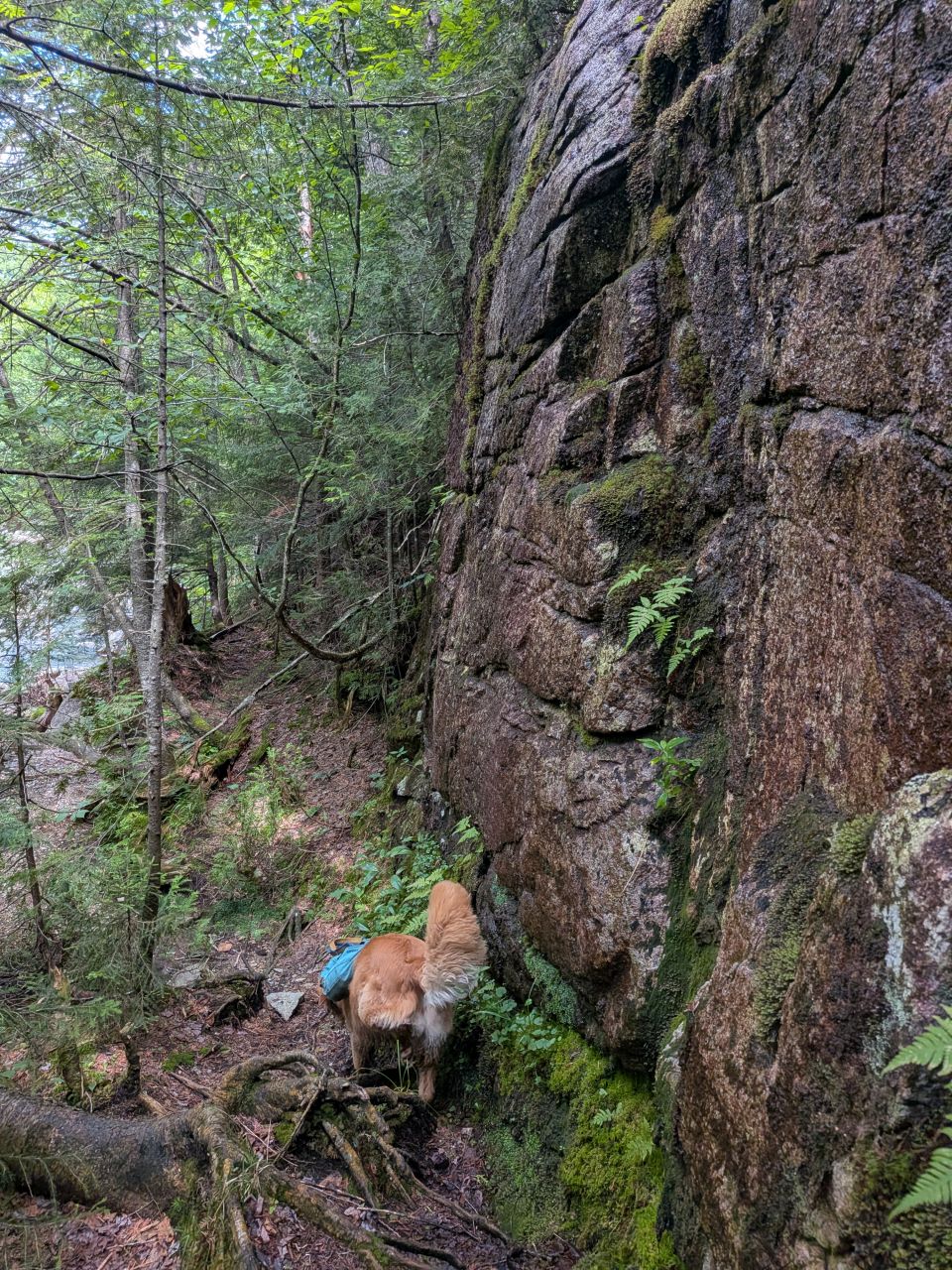
There was a lot of opportunity to clear brush and branch from this side of the brook. It is kind of steep here and it's imperative the trees remain to hold the earth together.
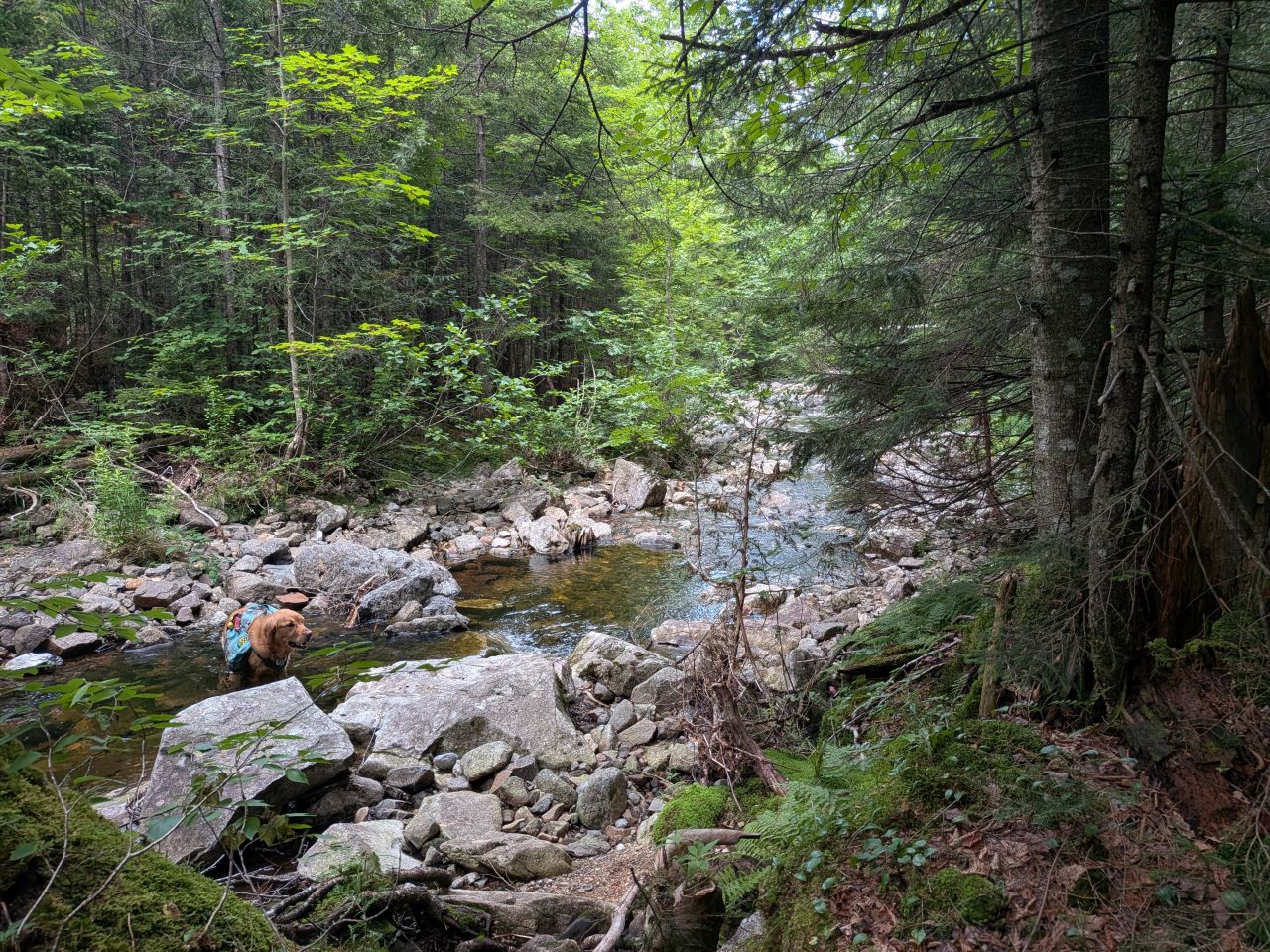
There were a few situations where I thought the trail might cross the brook again...
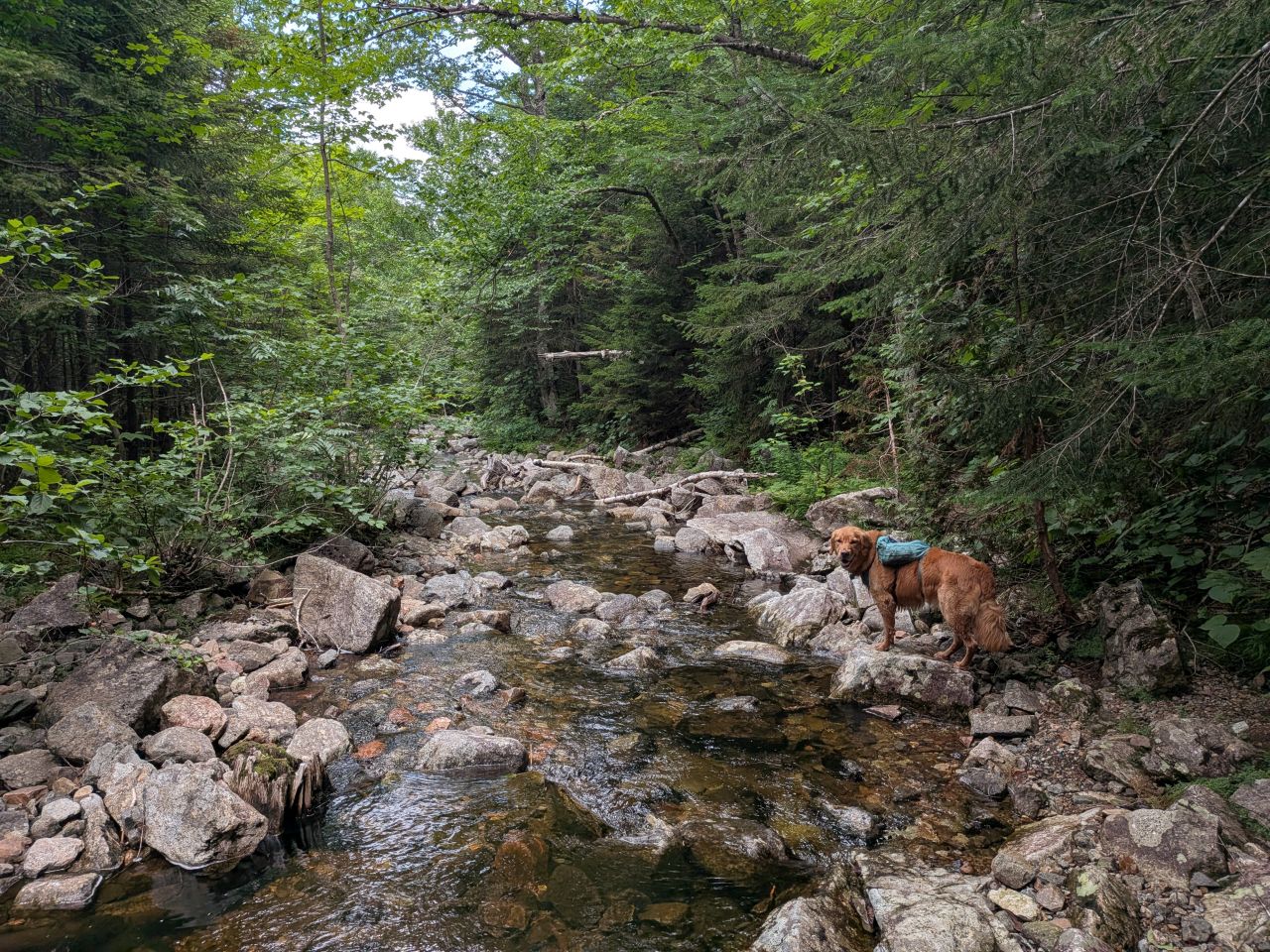
...but it just went into the side of the stream-bed, avoiding the steep shore on the right. I think some folks do manage to wander over to the other side from time to time. I will have to double-check all of this later when I do my trail marker trip. I may need to trim back more branches near the shore and make sure the trail markers are visible and nailed to trees that are unlikely to be washed away by spring thaw.
The trail, then, ducked back into the trees on the final approach to the junction. The worst mud pits this side of the pass stood here with no drainage to drain them and little sunlight to dry them.
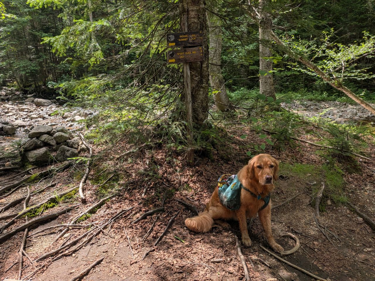
We finally reached the Cold Brook Pass junction by 2:20pm. The bugs here were a little annoying, but that didn't stop us from stopping to eat our Stewart's Sandwich. I also refilled my water and added an electrolyte packet for good measure.
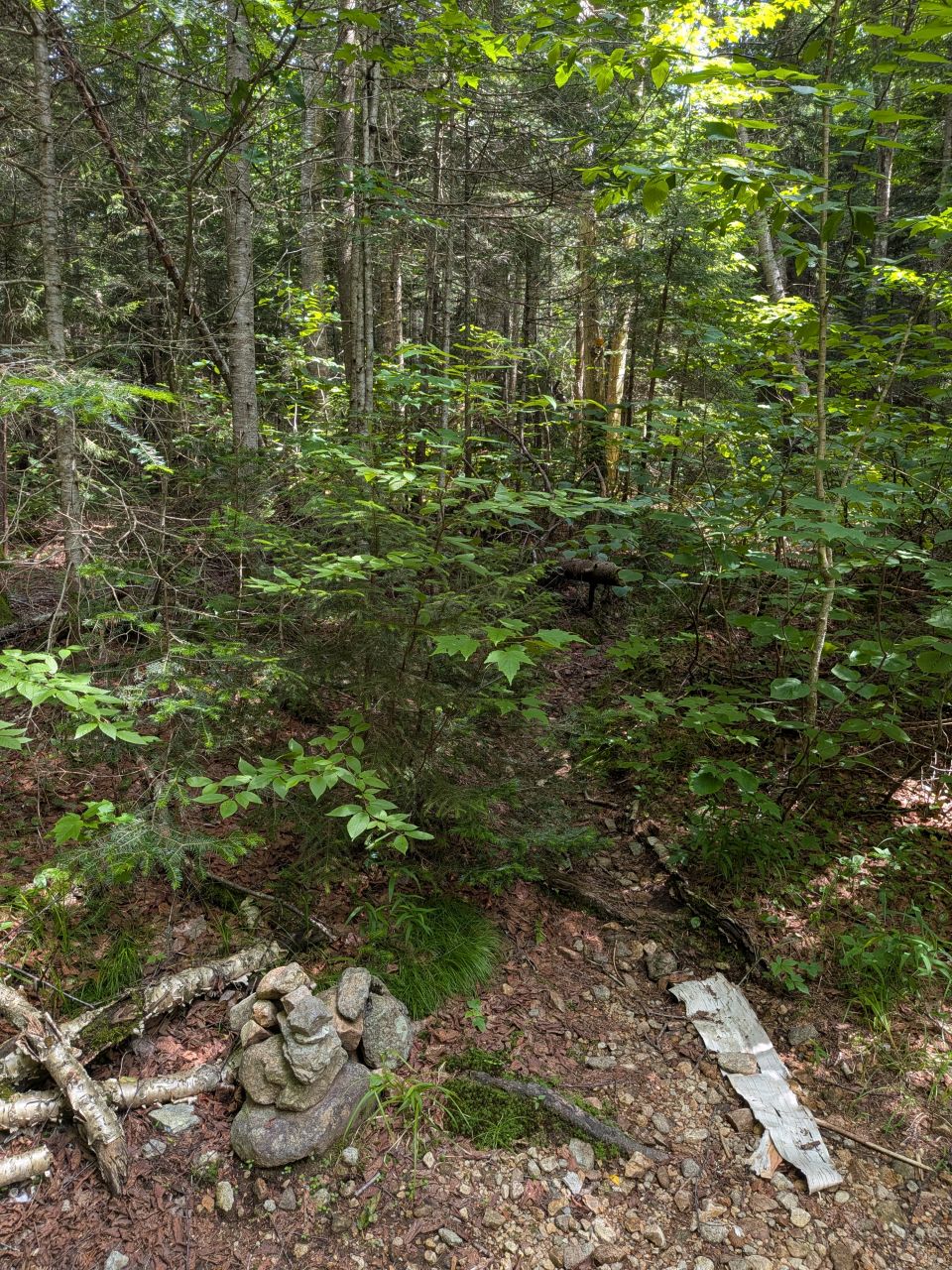
The Cold Brook Pass Trail looks ominous. Andrew pointed out that this has been unmaintained since Hurricane Irene in 2011, so it promises to be a rugged hike indeed.
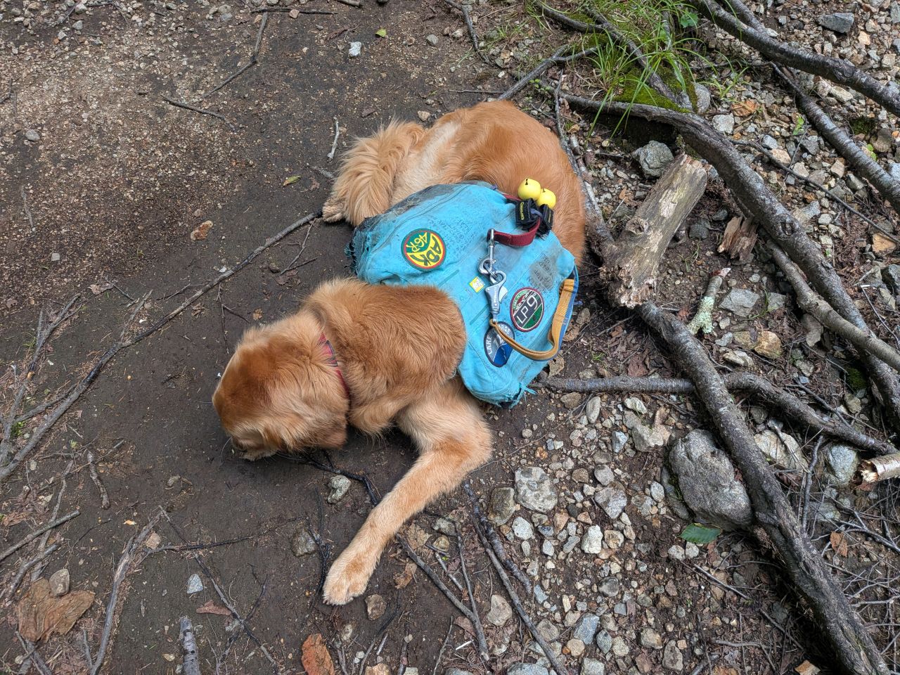
Sunny took a nap.
The entire trail one more time...
Sunny and I were packed up and moving by 2:45. I was eager to be on the move because I'd told my family that I'd hoped to be home before bedtime. I'd been horribly wrong.
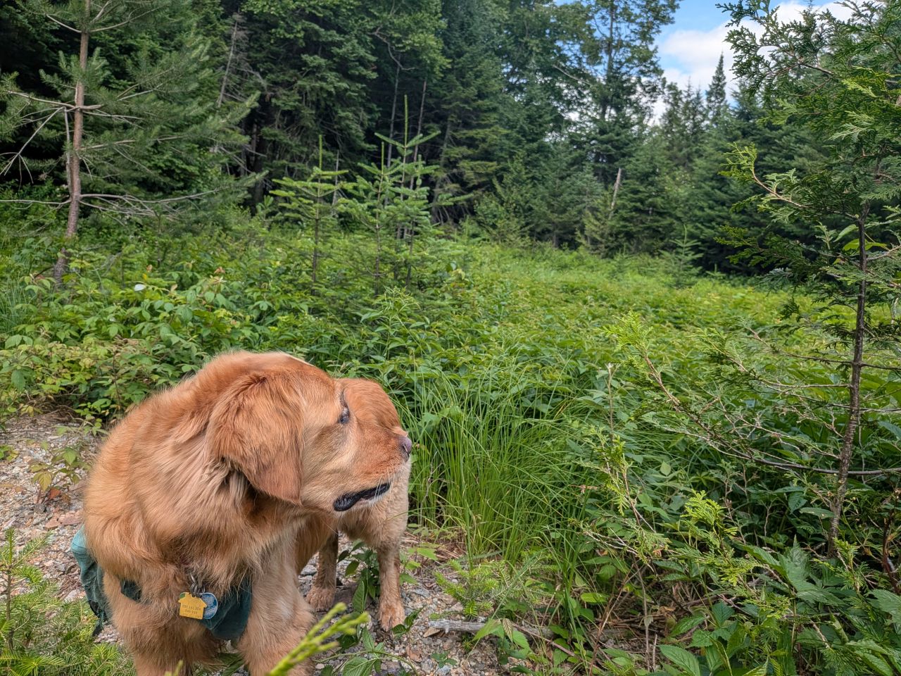
I did stop to check out the place where the dry creek-bed led to near the ford in the stream. There was a great deal of sunlight over there, so it was intriguing. It was a rocky meadow that might have standing water in it from time to time, but at the moment it might look like a place where a group could legally camp. I wondered if it had been a camp or outpost of some kind in the past. I'd be interested in exploring the area more in the future.
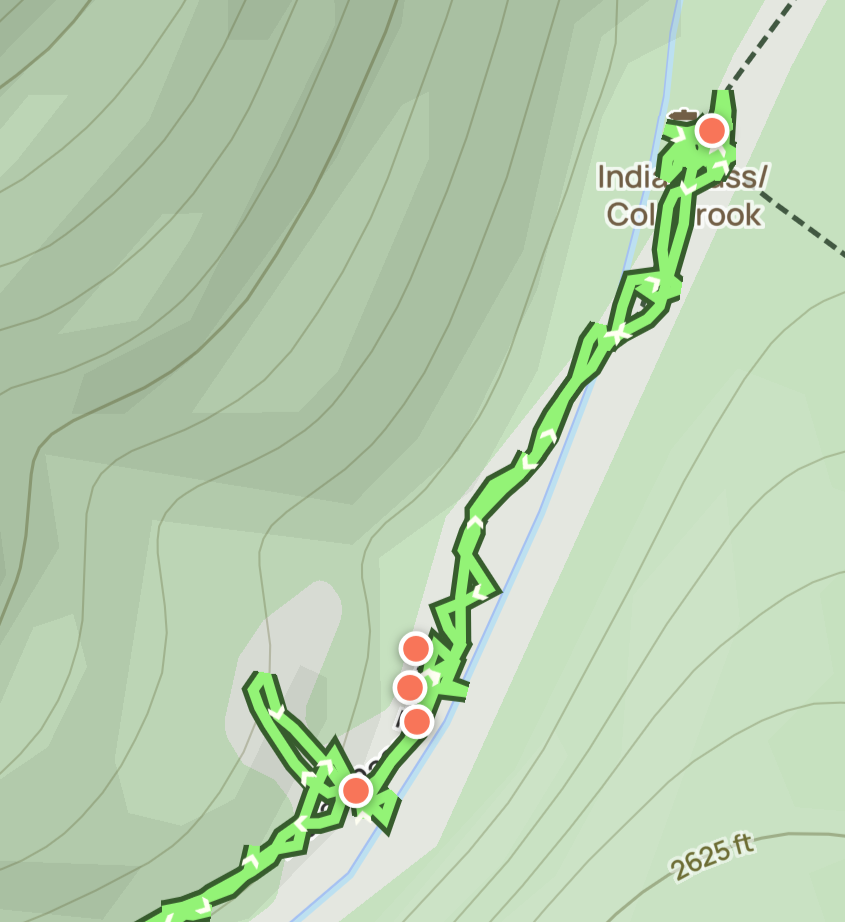
In this screenshot you can see the little offshoot to the lower left where we went off-trail where the rocky meadow is. You can also see how bad the map is about where the brook is... the trail is actually on the right side of the brook after the 2nd crossing.
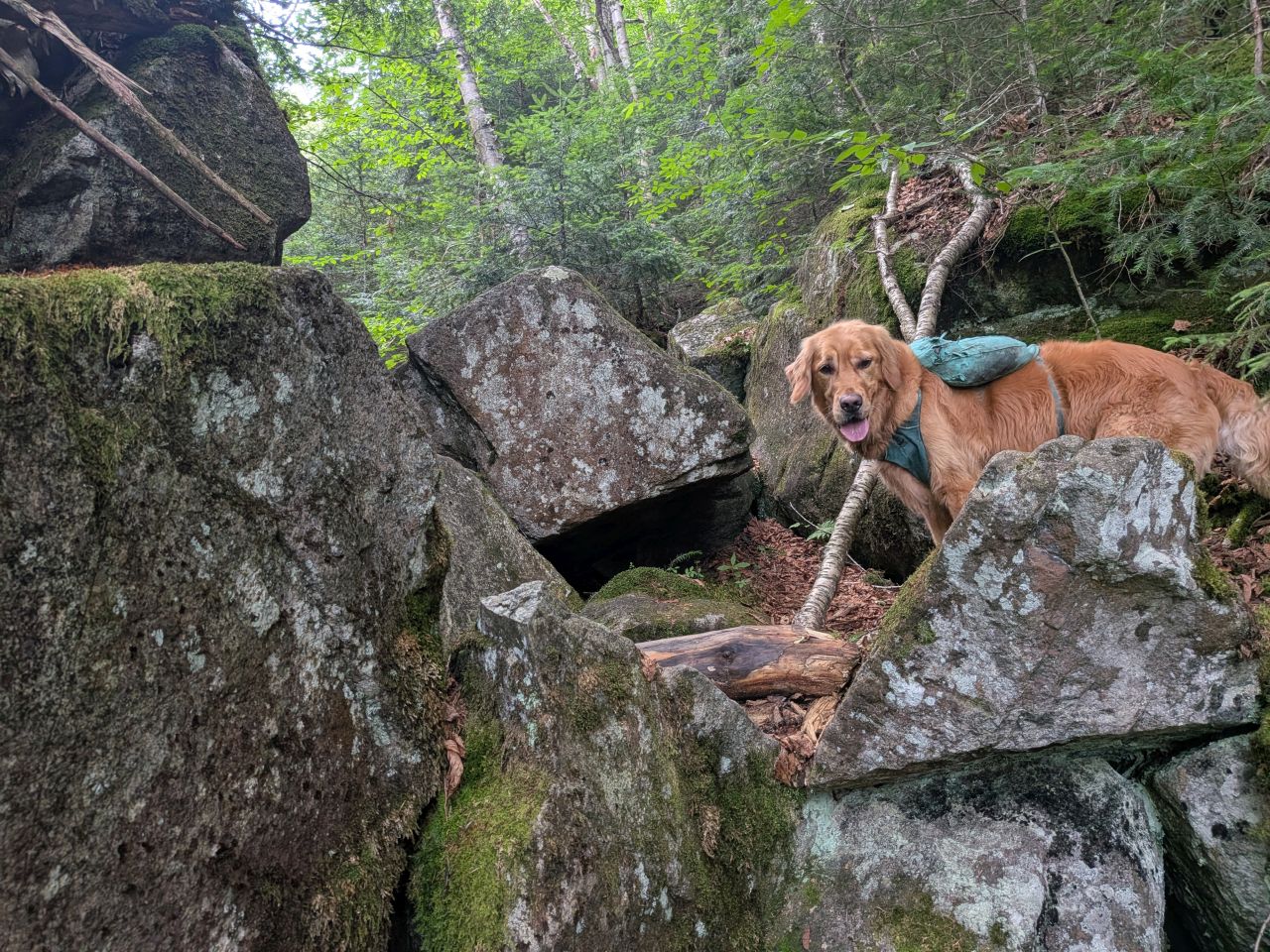
The hike back up the pass was strenuous, but nothing we couldn't handle. On the way up, we passed a couple of guys from Montreal who were hiking the Marshall loop. We chatted and Sunny got pets. They were the first group, probably in years, to hike the freshly-cleared entirety of this section of trail.
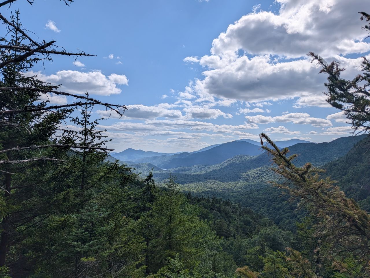
We made it back to Summit Rock within an hour, which I thought was pretty darn good time. Here, I messaged Wendy and changed my socks. We took almost a half hour break to recharge with rest and snacks. Also, the Santanonis were absolutely beautiful. In the distance, the climbers were descending, hollering back and forth at each other as they did.
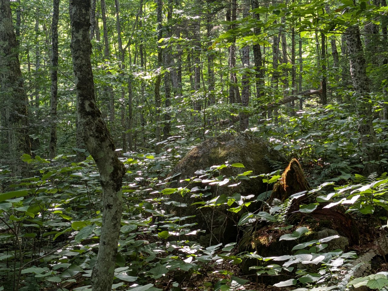
As we wandered through the forest on the way home, I took the time to take a few photos of the surrounding forest. It wasn't anything noteworthy, but I just wanted photos to remind me of what it's like there in high Summer.
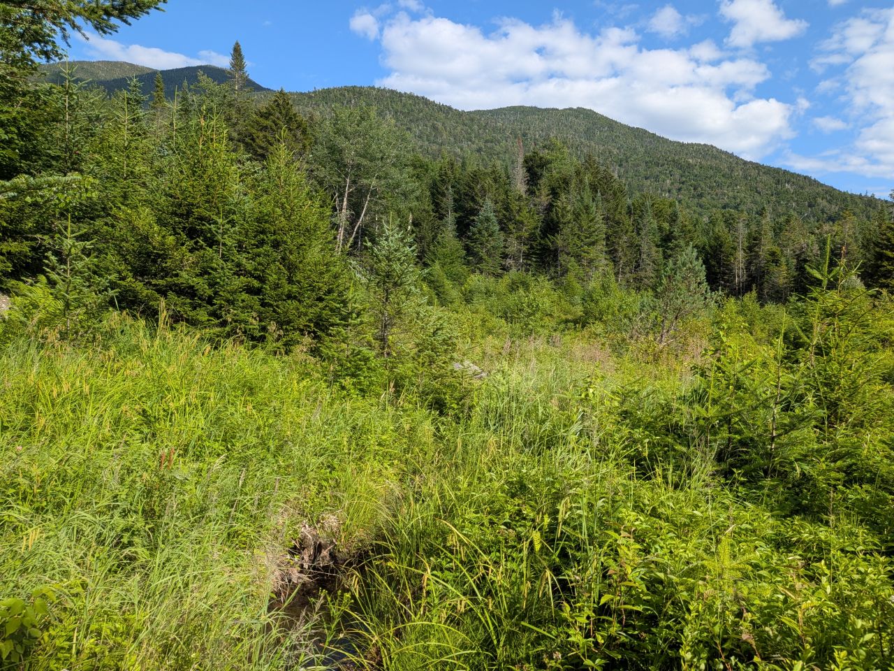
There is a spot along the trail where the pass starts to widen and the trail skirts to the Northwest of a big swampy area. Sunlight is always filtering through the trees here. I decided to have a go at bushwhacking to the edge of the swamp to see if I could get a photo of Mount Marshall from there. Counting the lumps on my map and counting the lumps in the photo, I do believe that the peak on the far left is, in fact, Iroquois and the next one over is Marshall. This isn't surprising considering how much taller Iroquois is and how close these mountains are as the crow flies.
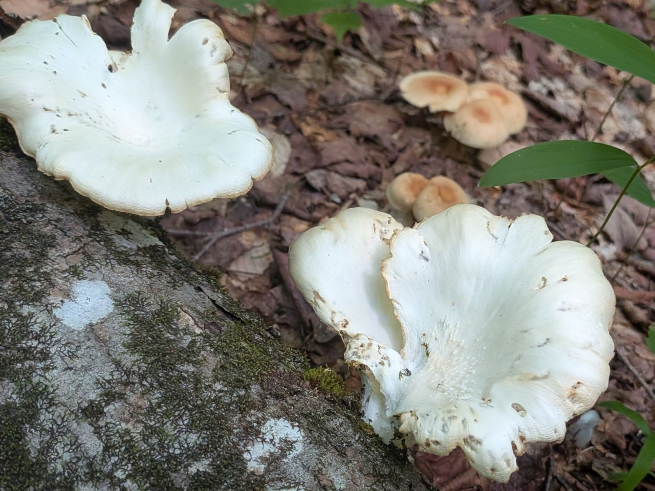
The mushrooms have started to appear in earnest. Google says this is may be an Angel Wing mushroom, but it bears a resemblance to others as well, such as an Oyster Mushroom. The former are safe to eat while the latter are not.
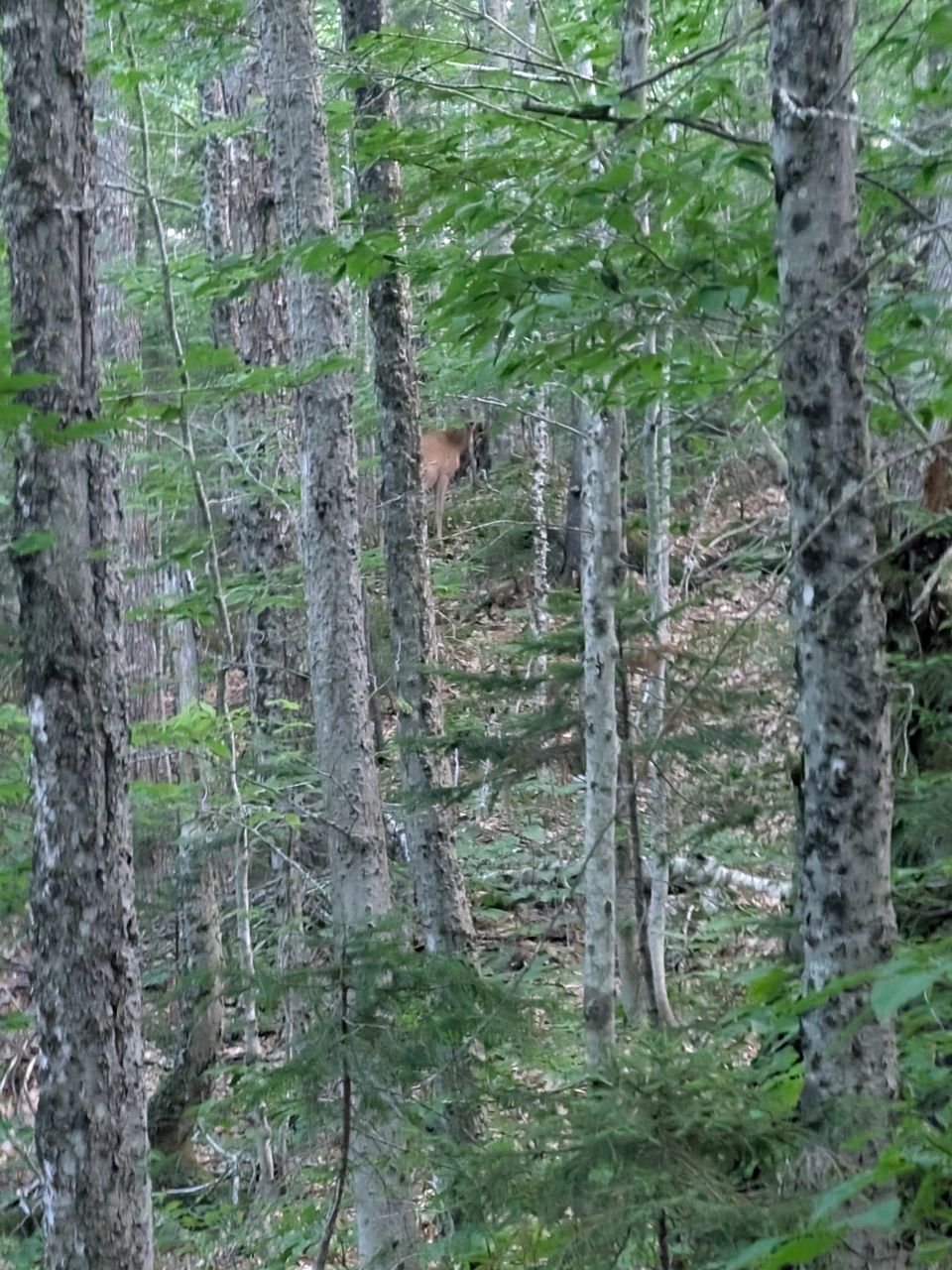
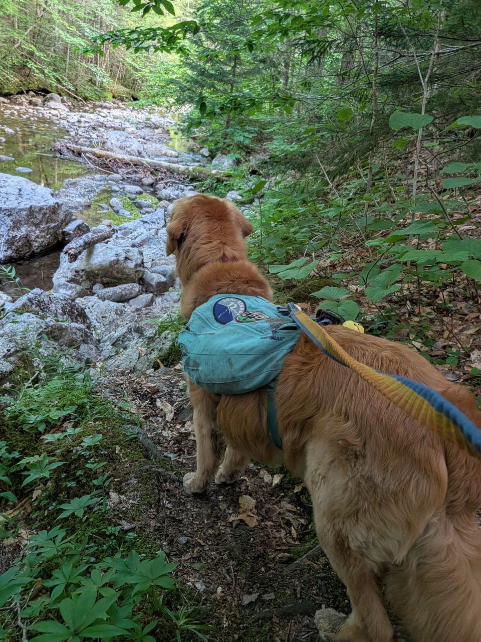
As we approached Wallface Lean-to, a big doe bounced past us fairly close. I jumped and hollered for Sunny to heel. The deer bounced away and I leashed Sunny. As we passed the area she'd jumped through, Sunny was very interested in what he smelled.
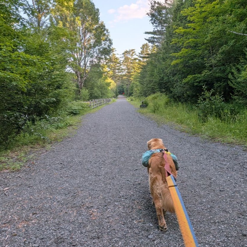
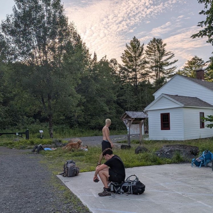
We arrived at the trailhead at almost 7:00, three hours after we'd left Summit Rock. This means, without a break, the total travel time for the six miles from Cold Brook Pass to the trailhead for me is about 4 hours now. I'm pretty stoked about that.
A group of young men who'd overnighted and hiked Marcy arrived as we were packing up and Sunny got a lot of pets. Both the rangers and the boys were all quite enamored with Sunny today and he lapped up the attention as usual.
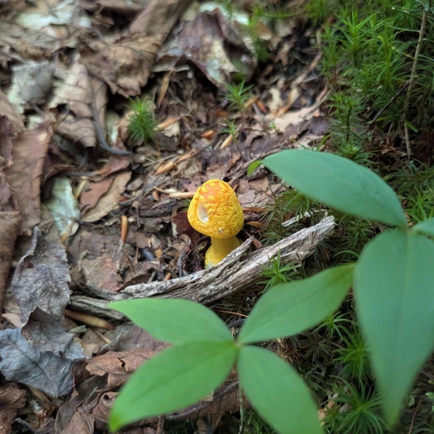
Amanita, perhaps the flavoconia species. Do not eat.
That's not the last this trail has seen of us. We'll do a trail marker trip before too long, but perhaps waiting until the autumn when we'll want to clear out drainages again.
As for the rest of the Summer, Sunny will be patching Stella on Skylight soon. We'll also be joining Charissa on an adventure to Marshall and Colden. After that, friends and I gather for our annual Geekend. We'll be deep in the Southern/Central Adirondack region for that, so there may be outdoor adventures to be had. When September rolls around Erica will be visiting us and we always do a couple of hiking adventures when she comes to visit.
This has already been an awesome Summer and I'm looking forward to the rest of it.
Route Map