


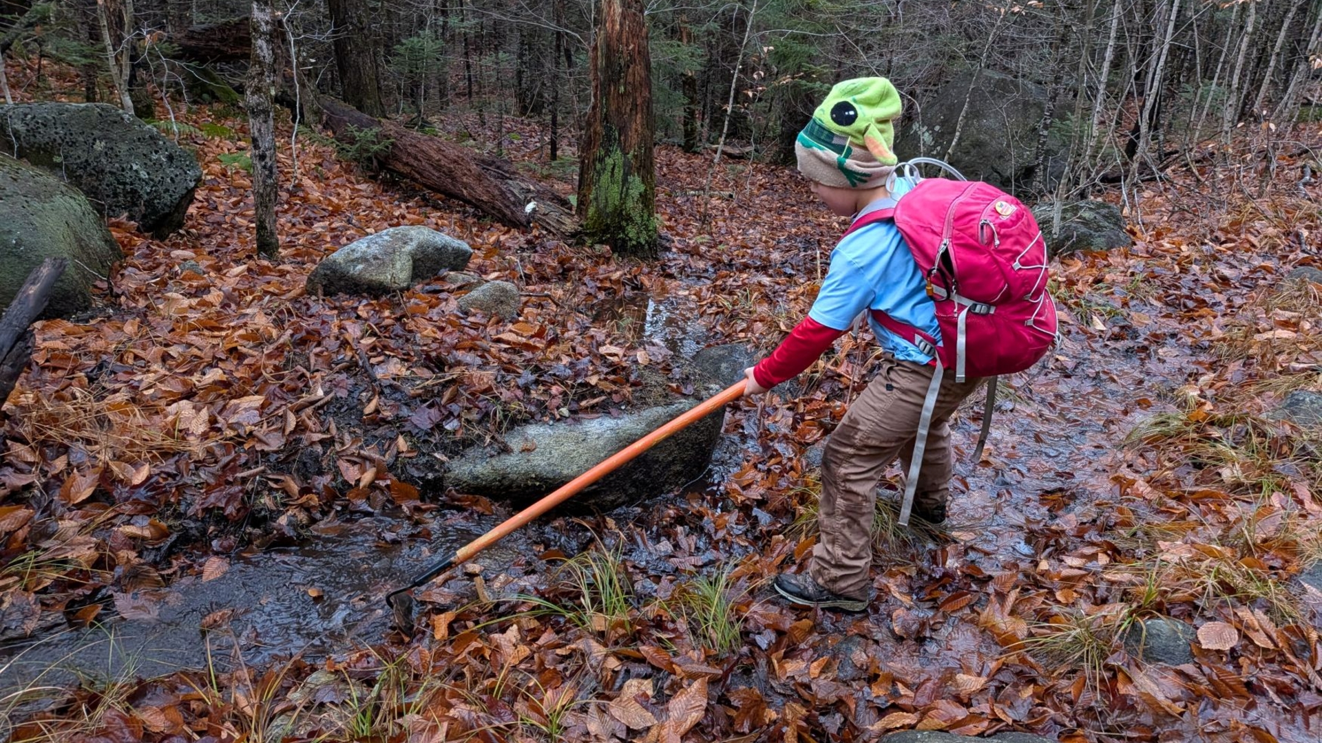
Scooping drainages between Upper Works and Duck Hole Junction
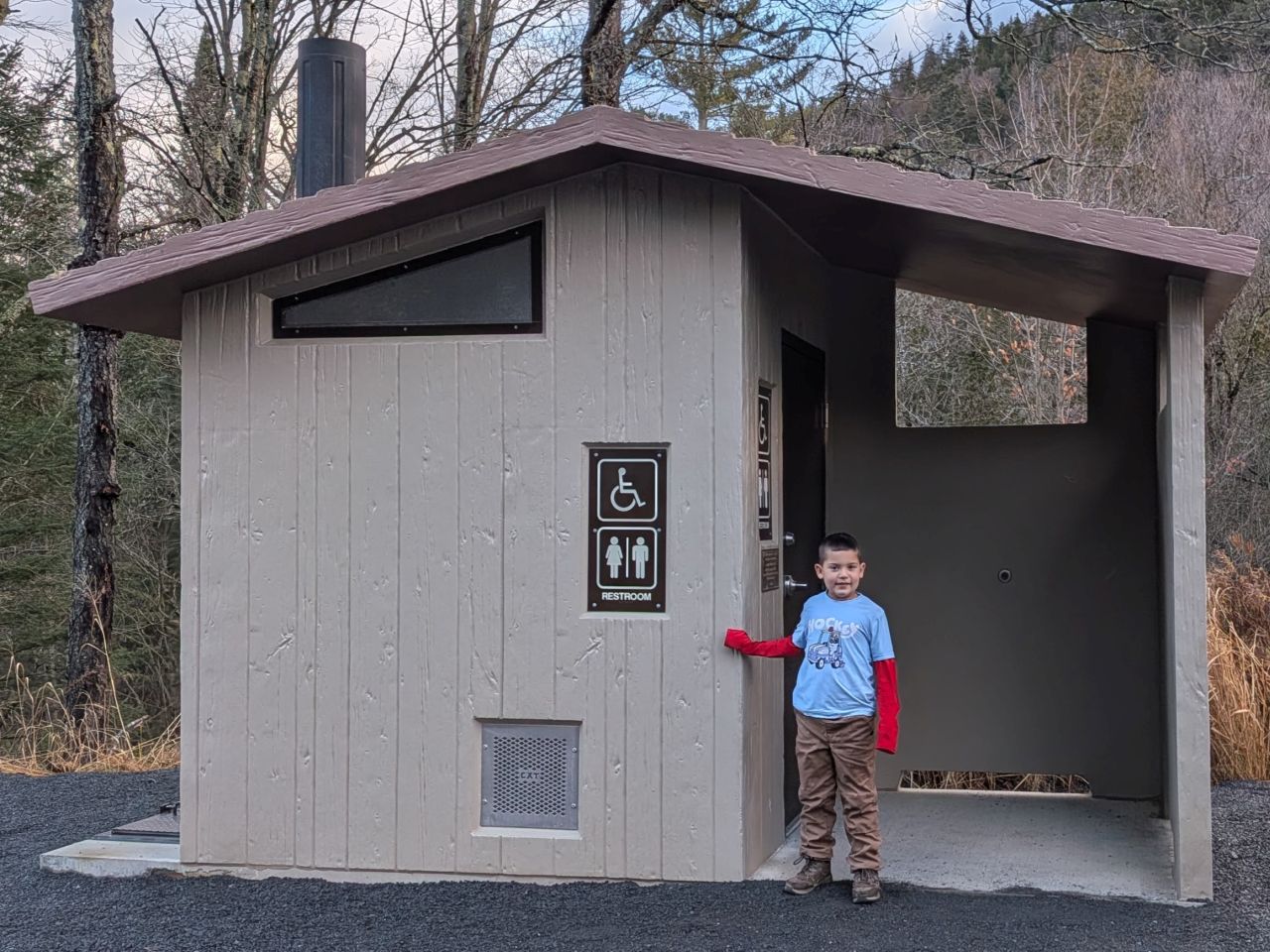
We arrived at Upper Works at around 8:00am. Of course, the big news of the year is the new, fancy privy available here. The old one was horribly over-full and the ground surrounding that structure had been strewn with feces and toilet paper. This new privy is very nice and has some really lovely acoustics. It is interesting that it's taking up two parking spots, but it's still very welcome.
We were on-trail by 8:15am. There was only one car in the lot and they were tackling Marcy, Gray, Skylight, Cliff, and Redfield. Wow! Later, Andrew looked at their bumper stickers and saw they had completed both the PCT and Continental Divide, so our concerns were tempered a great deal. Still, it's a shame they were summiting a couple of really great peaks on such a gray day.
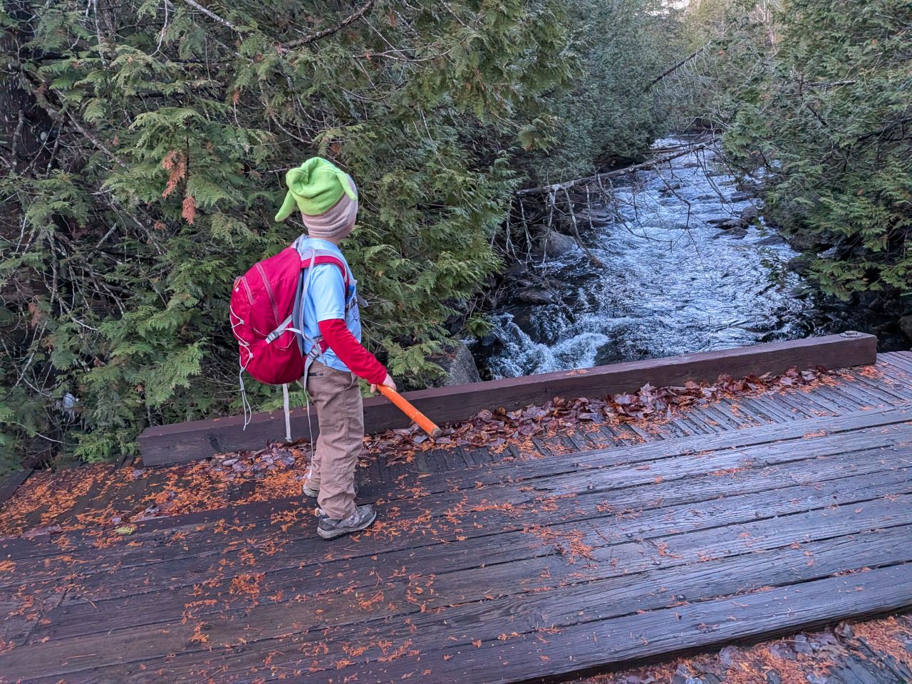
After I explained that the body of water we were approaching was the Hudson River, and the water passing beneath the bridge would soon pass right by our house, Quinn was very excited to cross it. It was a very overcast and chilly day, but the rain had stopped and the crisp, clean air was quite invigorating as usual.
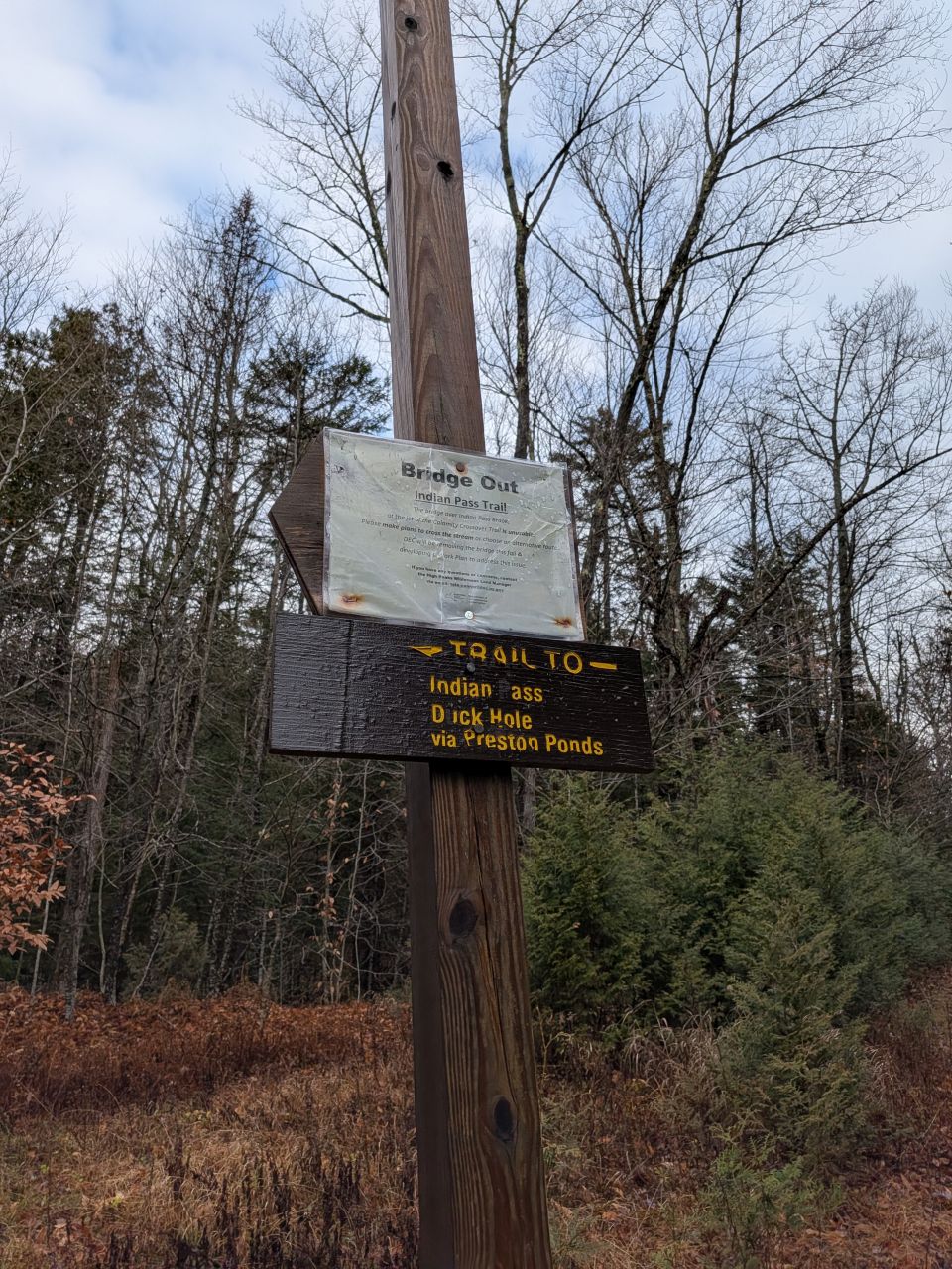
After clearing a few drainages between the trailhead and the Calamity Brook Trail junction, we hung a louie towards Dick Hole and Indian Ass.
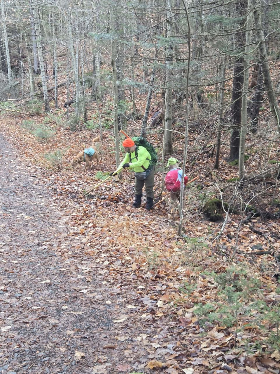
Quinn is a quick study. It only took him a couple of drainages to get the hang of it. There are so many between the Calamity Brook Trail junction and the Duck Hole junction. Our total time between these two points was almost 3 hours. It's quite a bit of work to keep this clear. We'll head back out next Spring to see if the drainages will look any better than they did this past Spring.
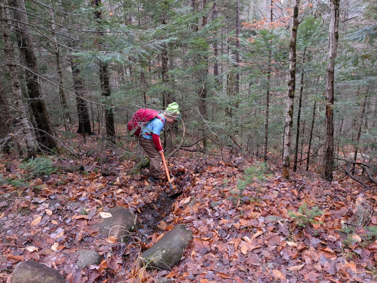
Quinn really did take to the work. He was quite taken with how satisfying it is to clear leaves out of a drainage and watch all the dammed water break free and roll downstream. About halfway down the trail, he kind of lost interest and just wanted to play. I largely let him do it. His big thing now is to put on a concert for me and I have to react like an audience of thousands.
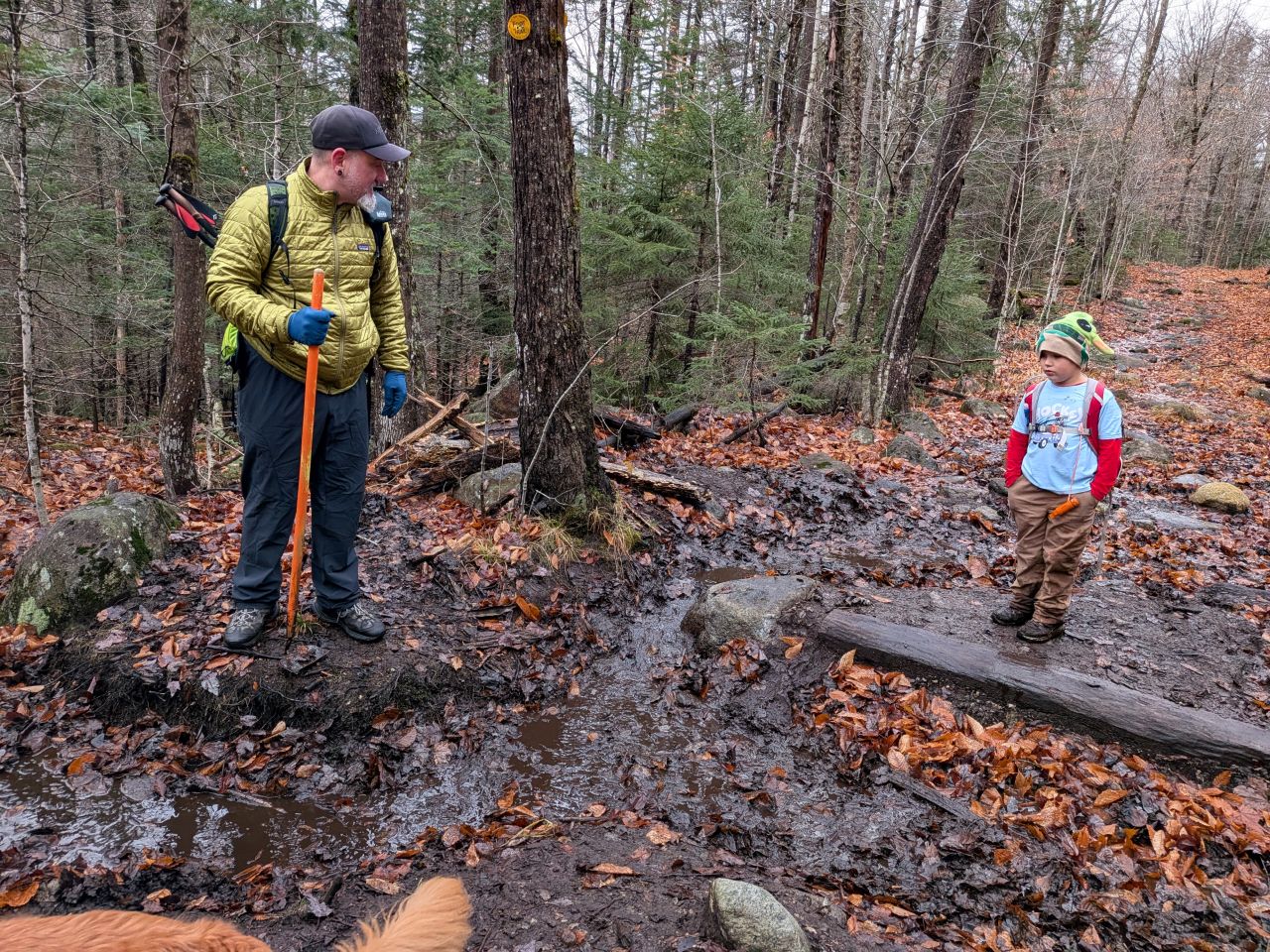
Quinn and Andrew having a professional discussion about drainages and water bars.
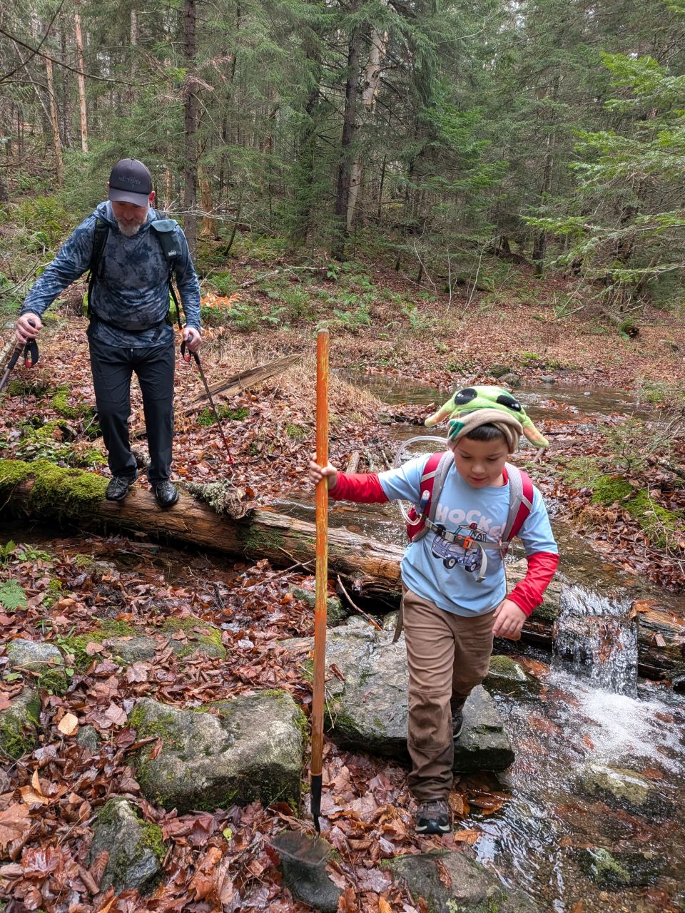
The one tricky stream crossing was fairly girthsome today and we got our feet wet. I wasn't very concerned about Quinn's feet today because we were quite close to the trailhead and it wasn't all that cold.
Henderson Lake Lean-to
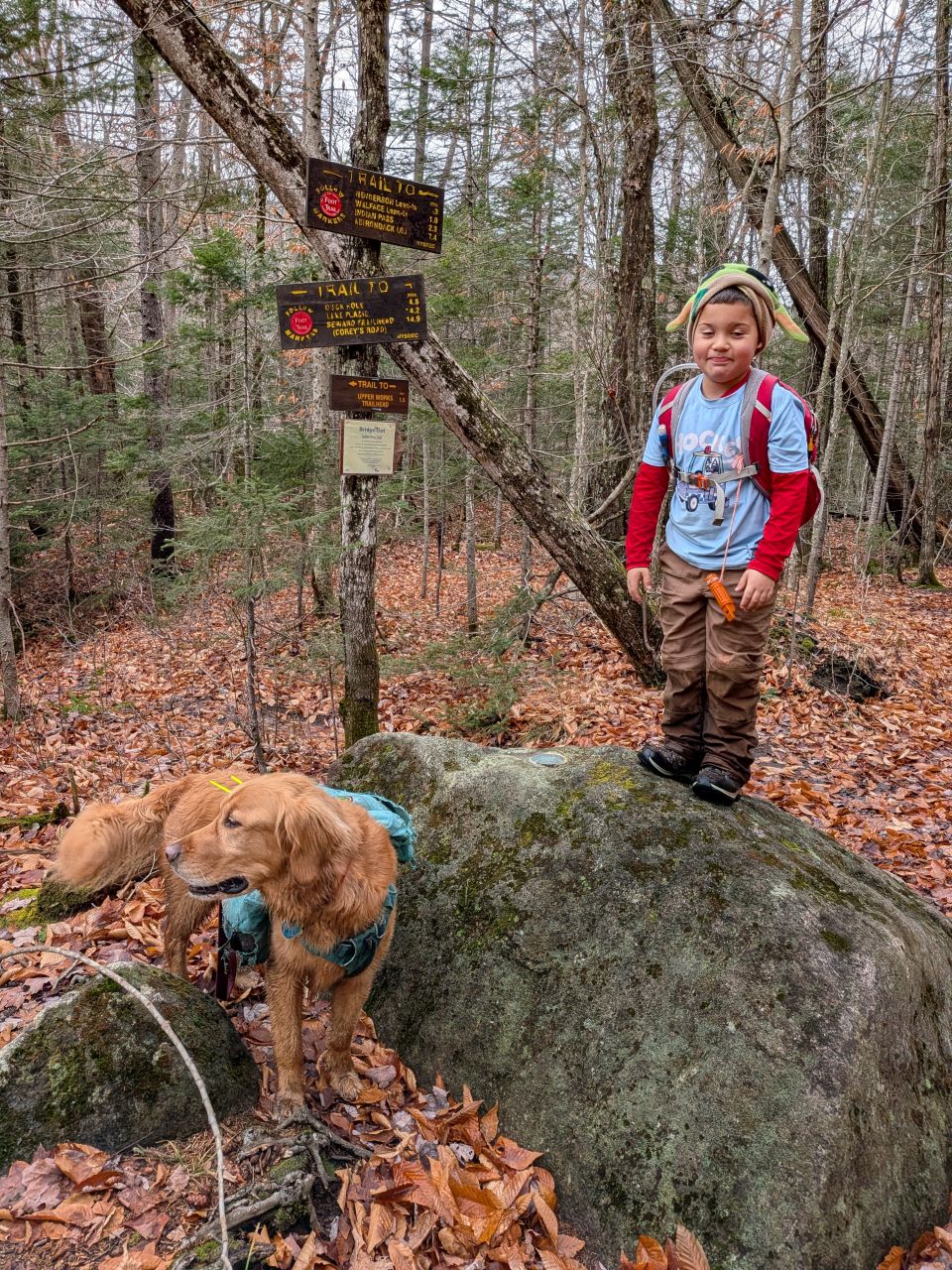
We reached the Duck Hole junction (and USGS marker) at around 11:30. Quinn did a great job crossing the rickety bridge over Indian Pass Brook.
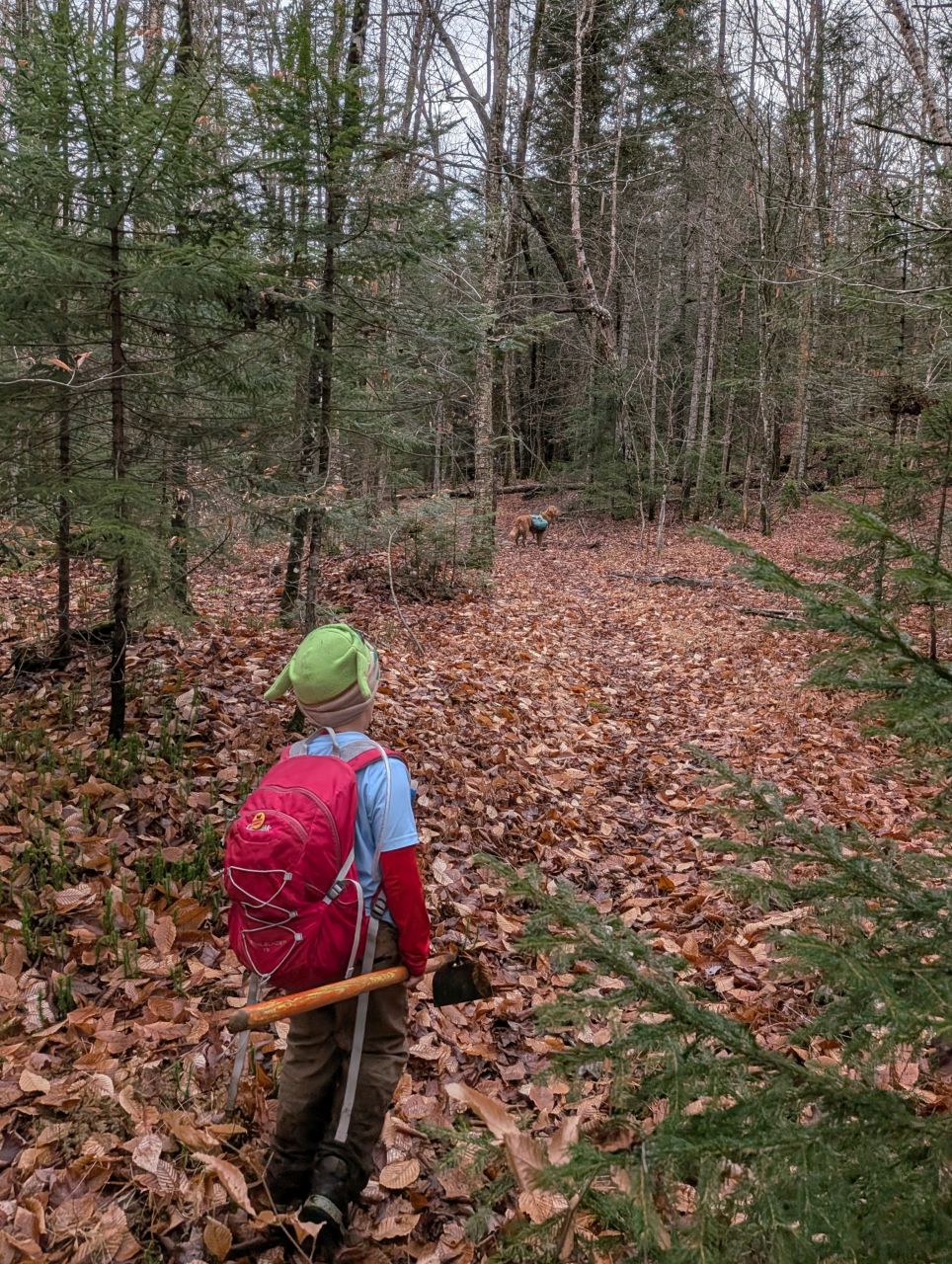
The wander towards the lean-to on Henderson Lake was a lot of little ups and downs. There were several spots that looked like old herd paths leading here and there. This entire area used to be private land for a variety of clubs before they were given away to the State. There is, actually, still a tiny parcel of private land a very short hike to the North on Upper Preston Pond with a cabin belonging to the Open Space Institute. They also still own the land surrounding Mt. Adams Fire Tower.
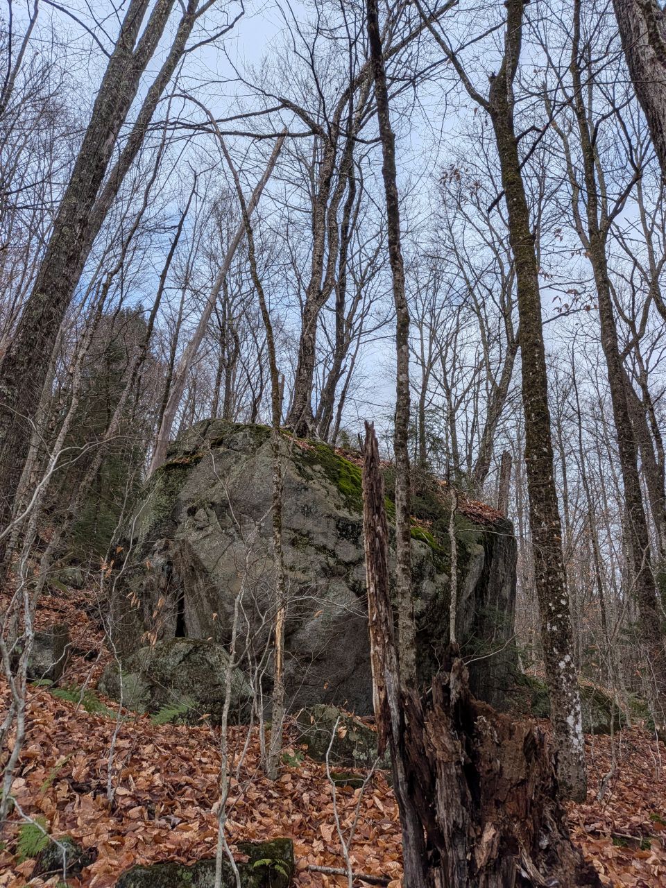
Tree on big fucking rock is still one of my favorite Adirondack aesthetics.
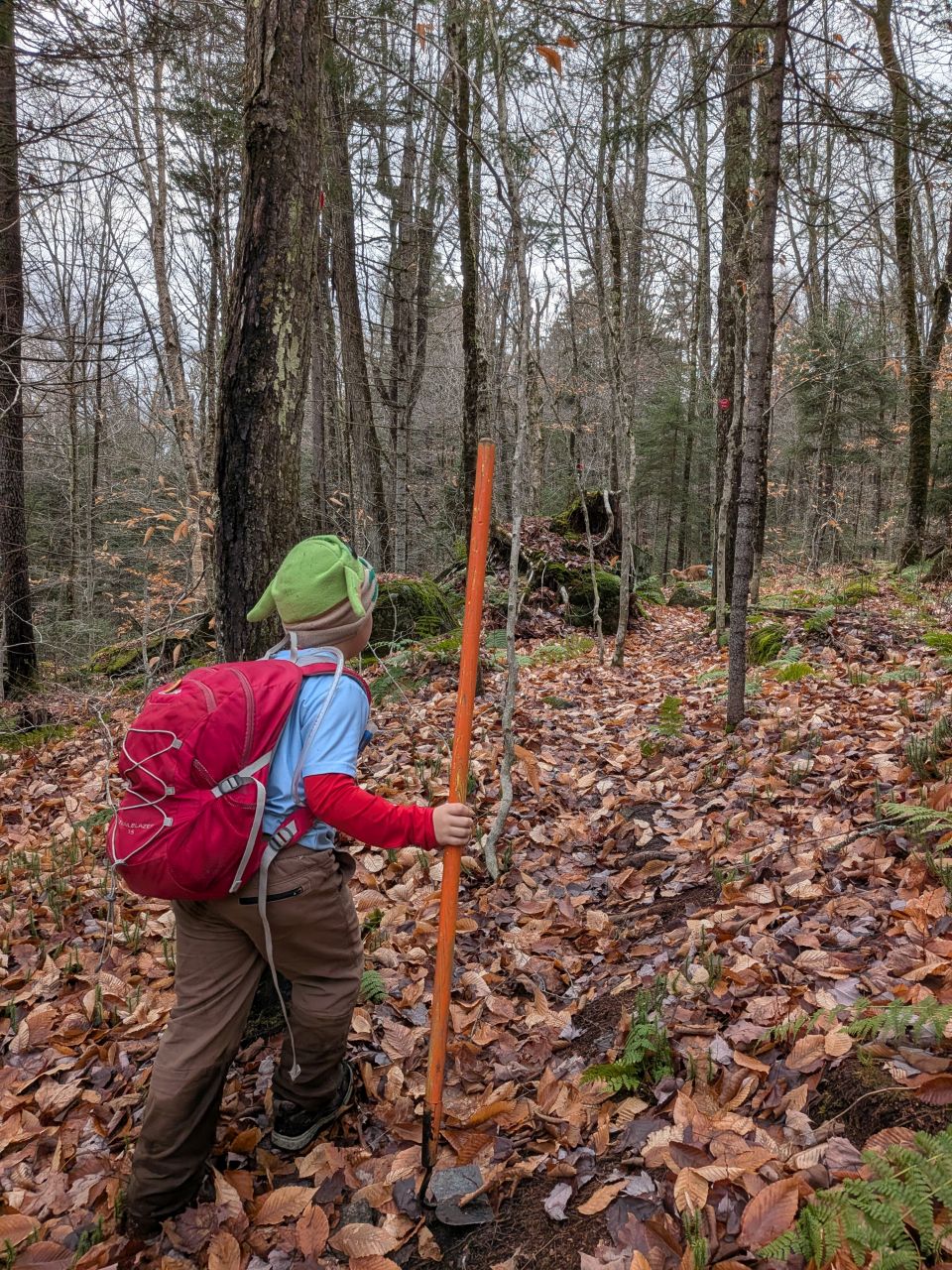
Quinn led the way with skill and confidence. I did have to take charge of his hoe; it was a little heavy for him. The trail from the junction to the lean-to had some weird muddy sections and a few little streams. It was kind of a lovely walk in the woods.
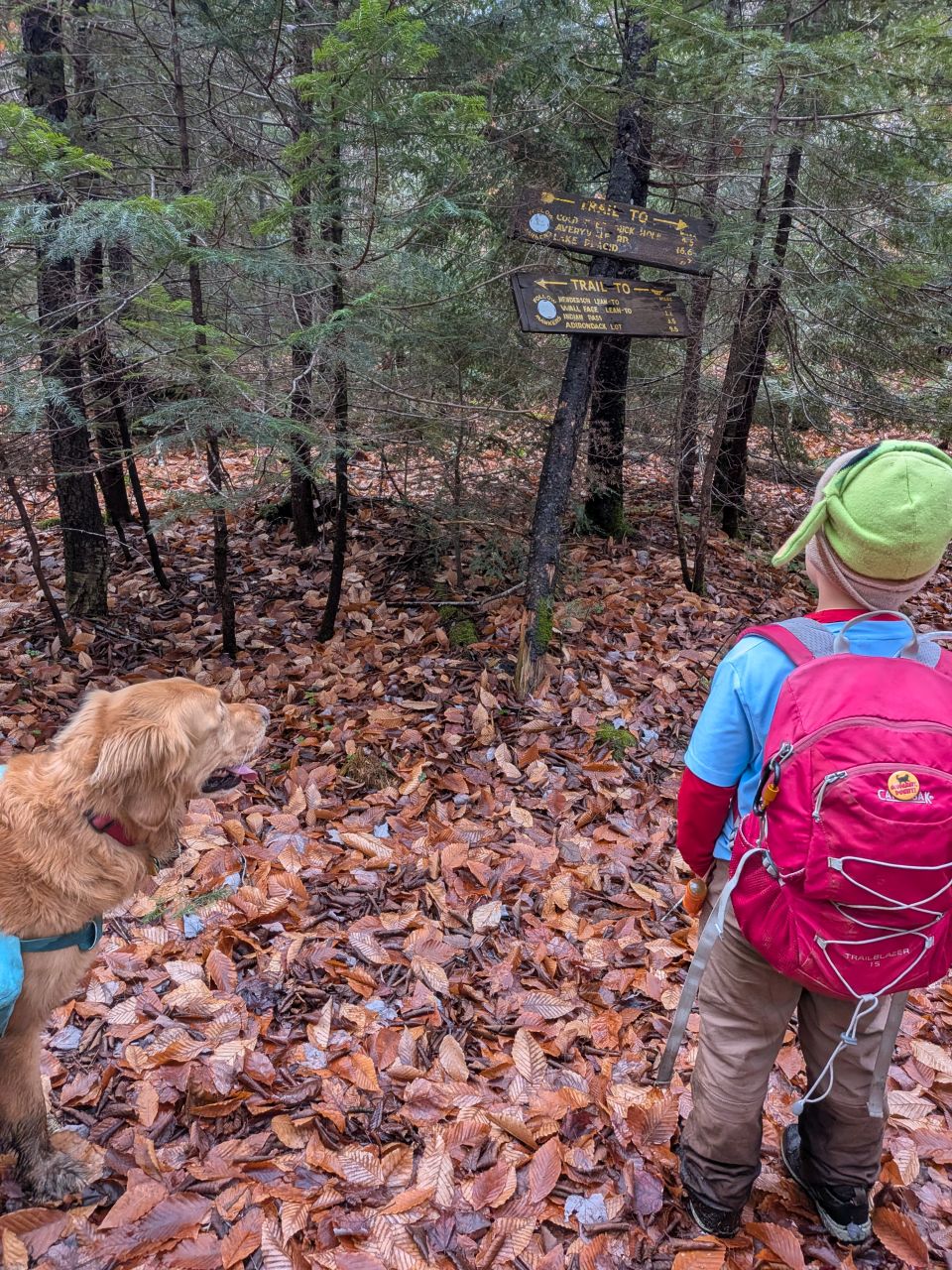
We arrived at the lean-to junction before noon. The signage was extant, but the tree that it had been nailed to was long, long dead.
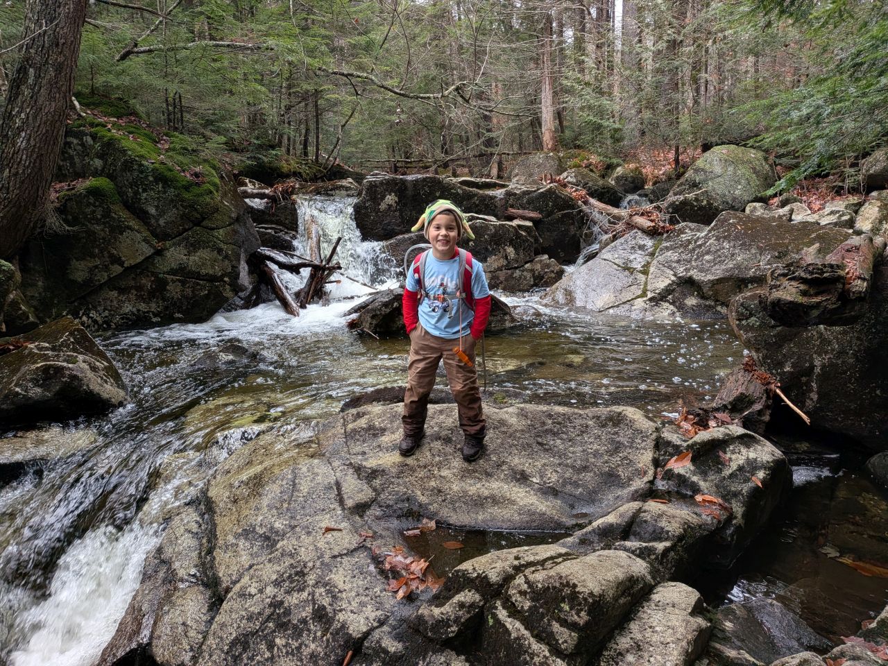
There's a really magnificent waterfall near the lean-to. There's no need to dip into the lake for fresh, clean water. This is the same stream that leads uphill to the Open Space Institute's cabin on Upper Preston Pond.
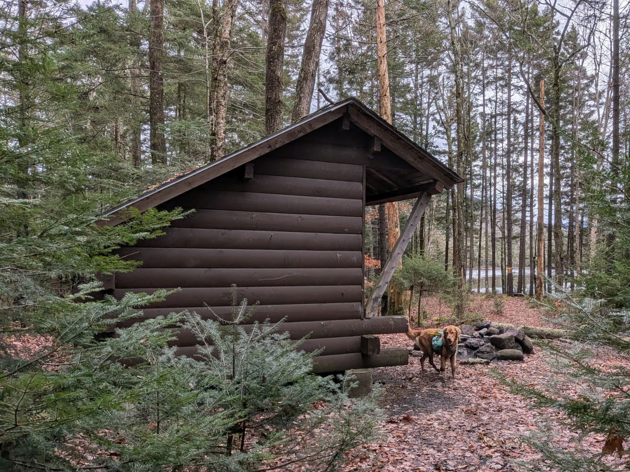
This is a great lean-to. The logs that form the walls have been shaved down to create flat joins. The lake looms in the distance, but a screen of evergreens provide a windbreak.
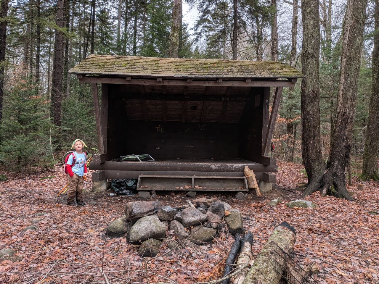
This lean-to features a fire pit since it's just outside the Central High Peaks region. A lot of love went into the construction of this lean-to. There are multiple pegs for hanging gear and a helpful step along the front of the structure which is quite helpful for short folks such as myself. Also, Andrew noted that the lean-to was a bit taller than others, something I would never have noticed for obvious reasons.
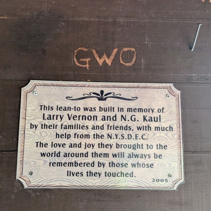
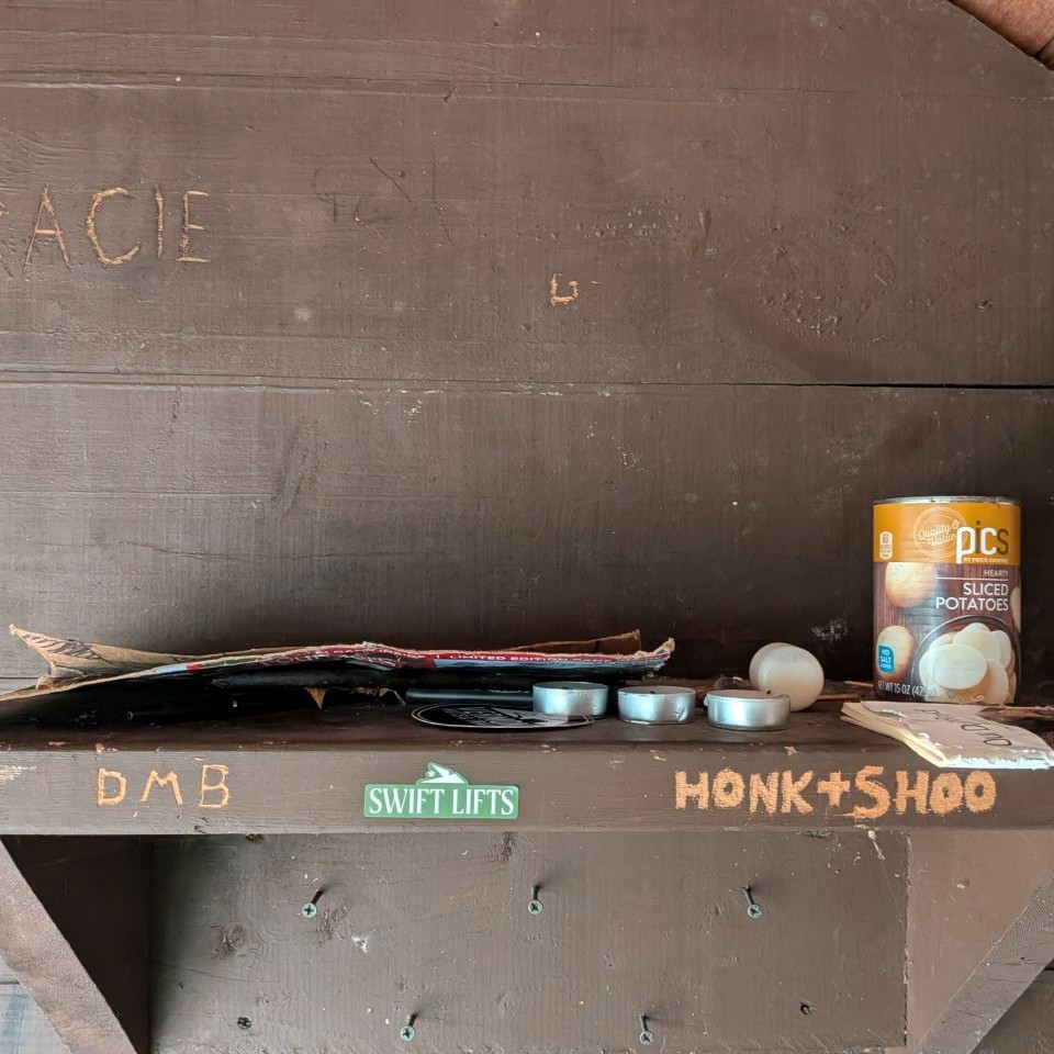
There was a plaque saying that the lean-to was constructed in memory of an individual which explains its unique nature. There was a variety of brick-a-brack including a can of potatoes, votive candles, a tic-tac-toe board, a prayer tract, and a beach chair. Most of this we packed away for removal.
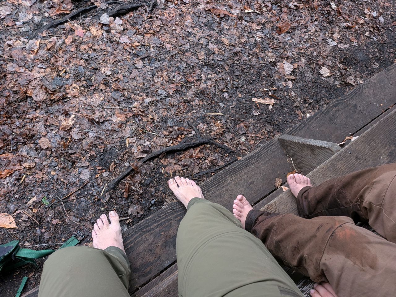
Quinn and I decided to dry out our feet and put on fresh socks.
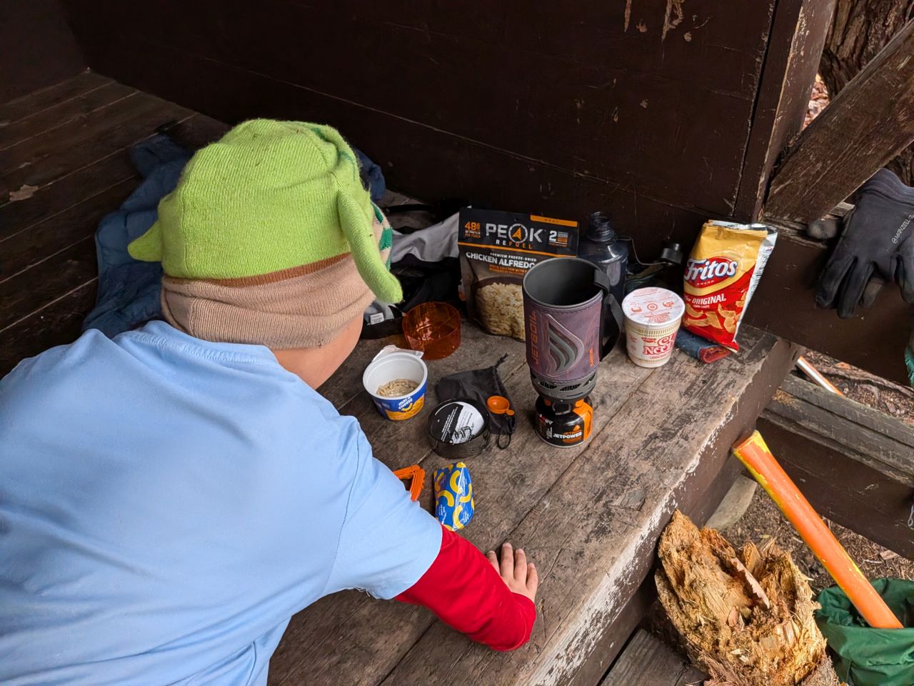
I'd figured we'd have plenty of time for a proper lunch, so I'd brought along my cooker and some dehydrated meals: Easy Mac for Quinn, Chicken Parm for me, and a cup of noodles in case Andrew wanted something warm.
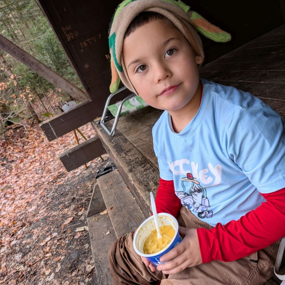
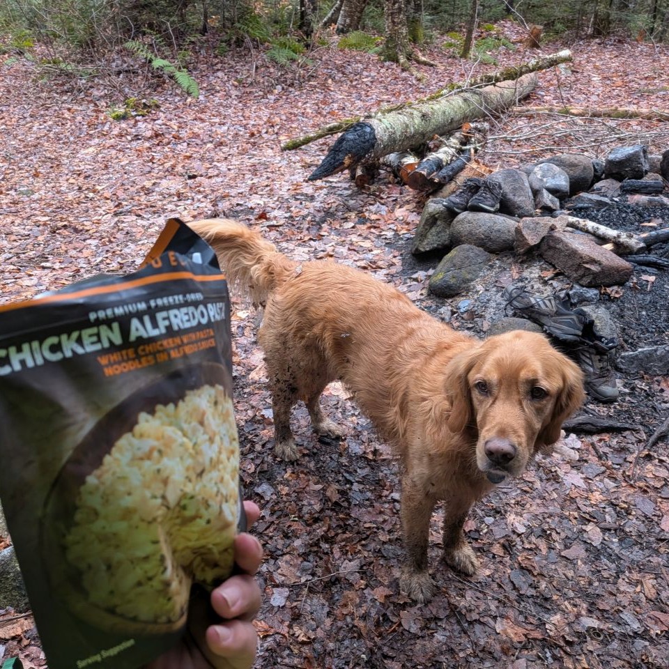
A warm meal ended up being quite welcome. I am considering bringing the JetBoil on more day hikes in the future.
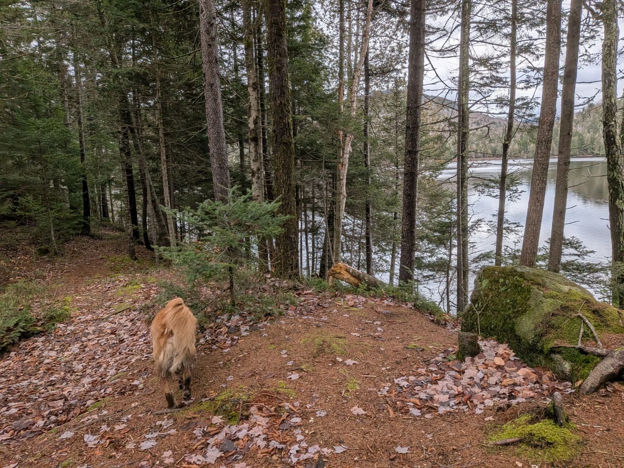
After eating, I wandered around the immediate vicinity. There are a couple of landings for watercraft along the steep shore. Andrew said there was a campsite on the South side that I forgot to have a look at. He said it was a little cramped, but serviceable.
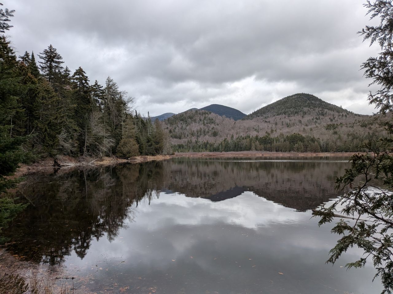
The East landing provides views of the MacIntyre Range, Marshall and distant Iroquois.
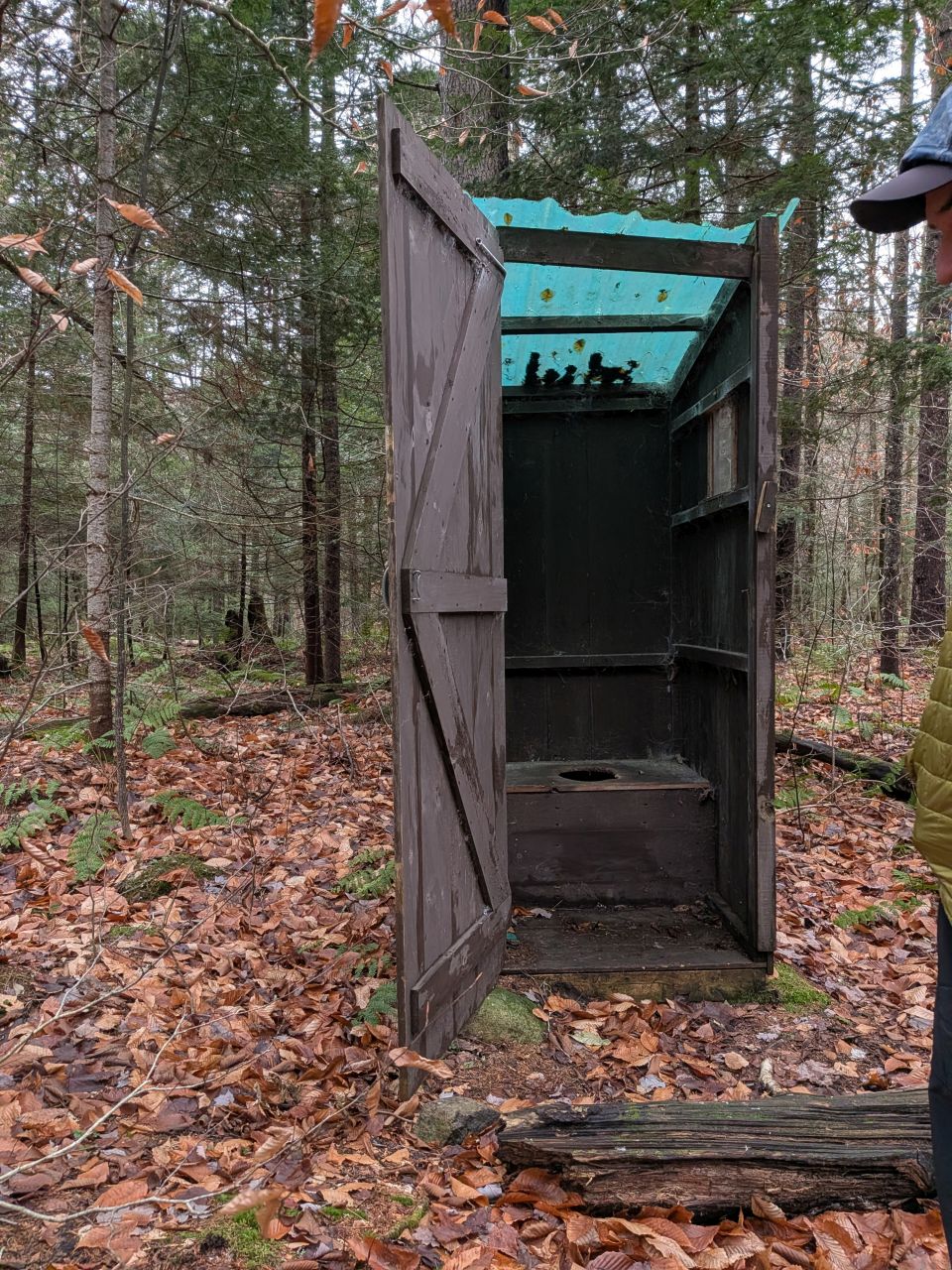
The privy itself was in great shape, but the hole was absolutely over-full. When a privy is that full, the maintainer should defer to the DEC for remediation. I let our forester know that I'd be happy to help out if they sent a crew out to take care of it. I'm quite concerned that the Winter will bring a terrible situation which will see poop and toilet paper strewn from heaven to breakfast.
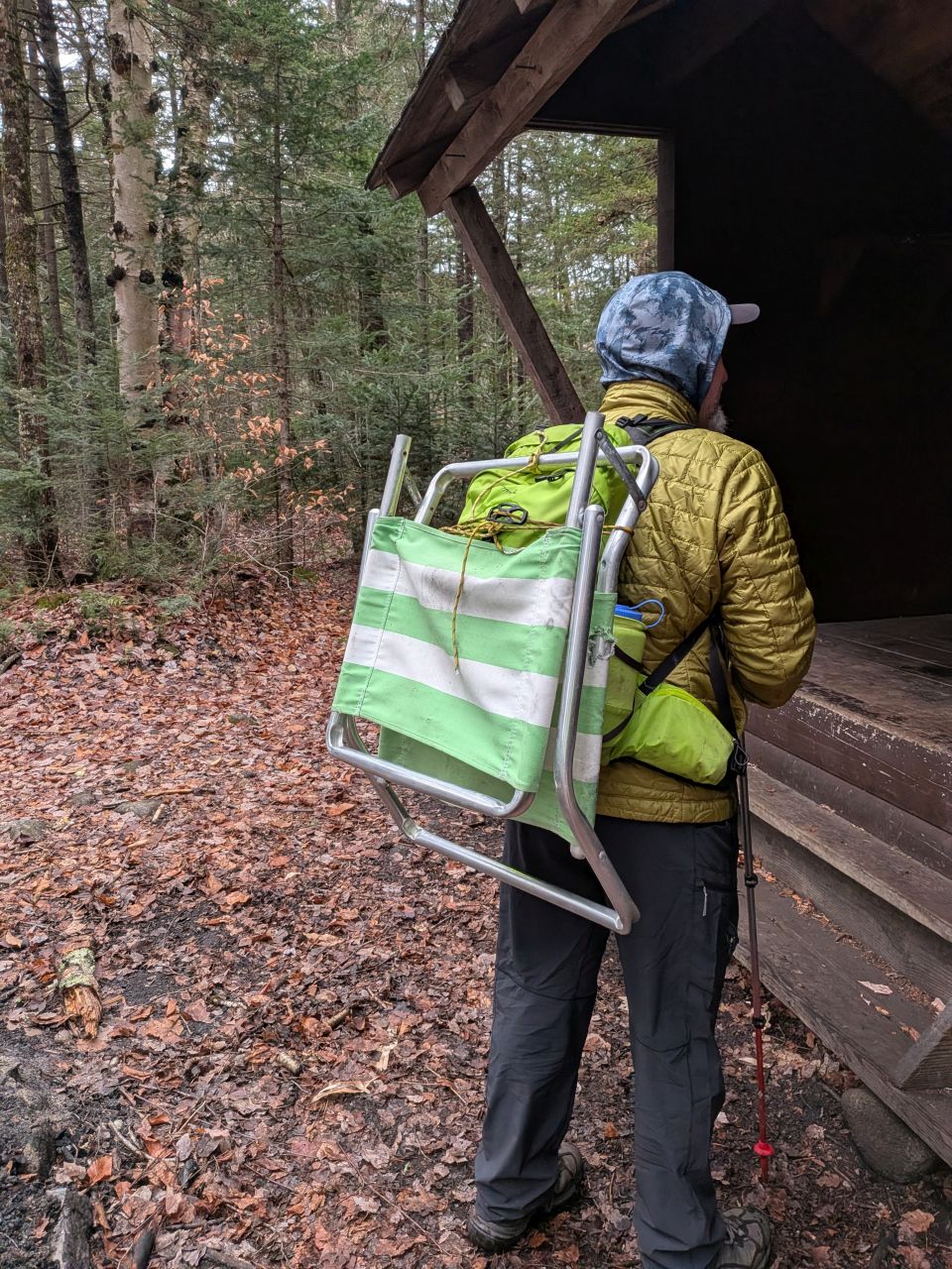
We packed up the trash including the busted beach chair...
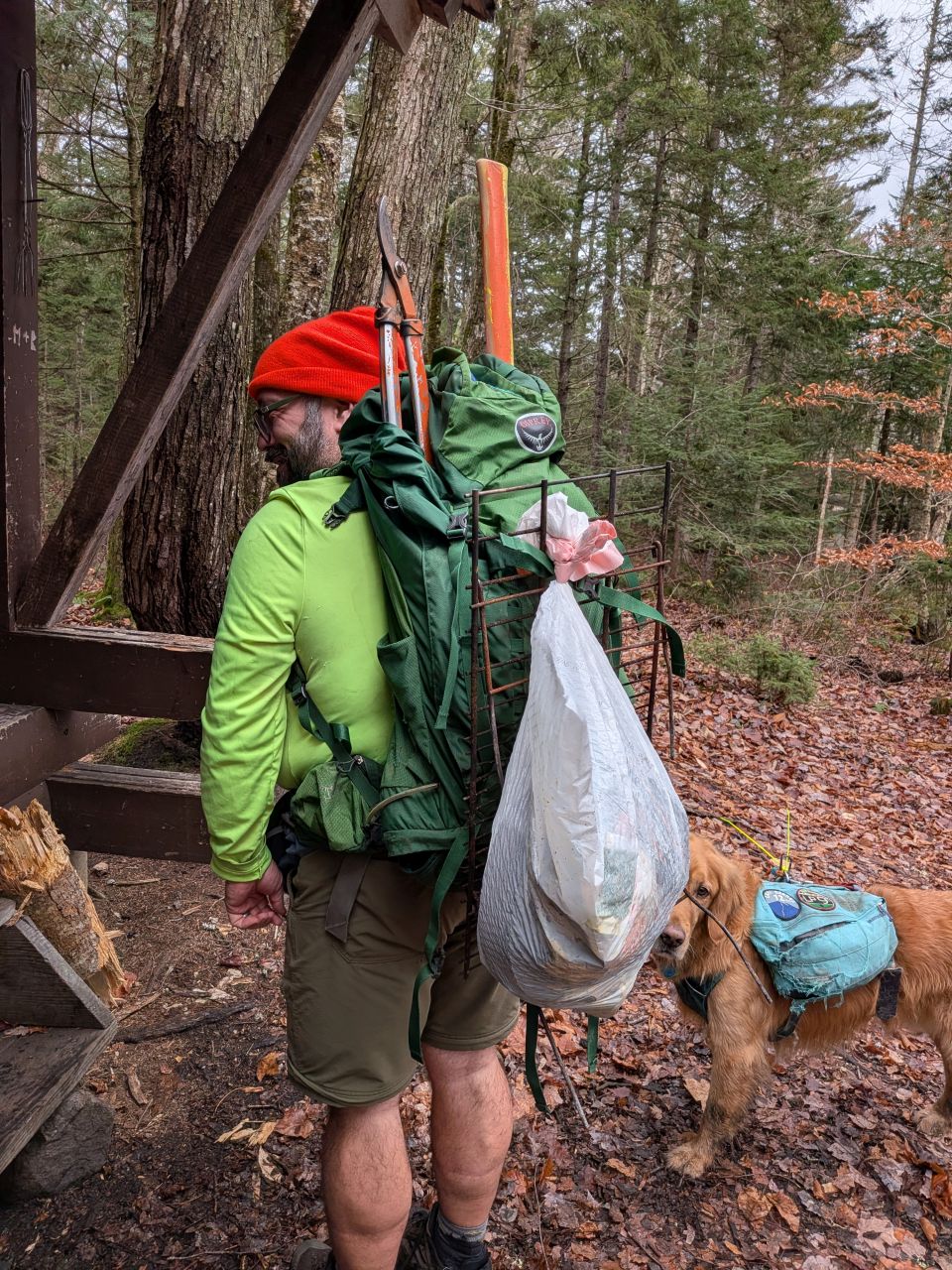
...and the rest.
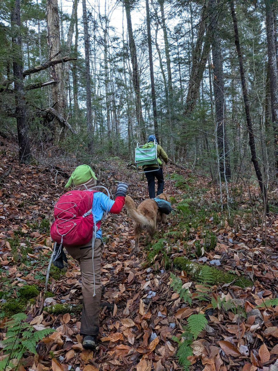
We were marching back to the trailhead before 1:30pm. I let Sunny run to and fro most of the hike. At one point, as we approached the Calamity Brook junction, he barked up a storm out in the woods near the lake. He recalled basically immediately, but I put him back on leash at that point. We were back at Upper works around 3:00. Another group tackling Marshall had signed in since we'd left and we wished them good luck.
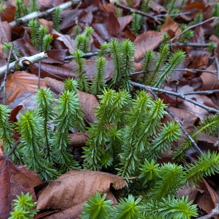
Despite the overcast weather, it was a lovely day in the woods. I was glad to have company today, both Andrew and Quinn. I was glad to make this Veteran's day a day of service. I think it might be a great idea to make this an annual event. Doing the drainages on this day ensures all the leaves have dropped and it's unlikely there'll be tons of snow on the ground. I'll plan on doing this again next year. I'm planning on returning to Indian Pass in the dead of Winter in order to put up trail markers. I'm hoping that the depth of the snow will help me put them up a bit higher to deter vandalism and theft.
I'm not sure if I'll hike this Monday, but I will be hiking Ampersand with Great Range Athlete next weekend.
Route Map
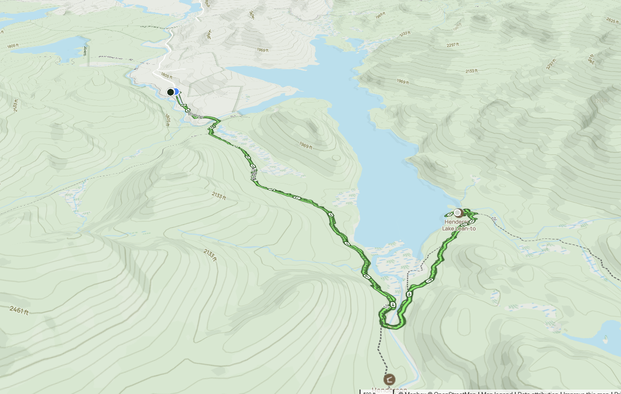
Afternoon_hike_at_Adoptatrail_1.gpx (295.82 KB)