
The hike starts at the Crow Clearing parking area, trailhead for Big Crow and the Northern approach to Hurricane. Looking at the map and elevation chart, it seemed prudent to tackle the loop counter-clockwise. This would give us a long and easy climb up to the pond and ridge beyond. We set off by 9:45am.

Sunny made sure to roll the dirt and bugs and burrs into his fur for future sniffing and his dogsmell onto the trail for future passers-by. Korra and Zuko stood back to enjoy the show. For my part, I got to "enjoy" pulling a handful of burrs from Sunny's tail the next day.

We were passing the Hurricane junction in no time.

It was nice that the Gulf Brook was running smoothly after the recent rain. The pups got a big drink before we moved on.

A short quarter mile up the trail from the junction, we passed the Gulf Brook Lean-to. This lean-to is situated in a cheery place with good visibility and close proximity to the brook. This would be quite a lovely place to stay any time, but I feel like it would be especially nice in the Winter. Unfortunately, the road to the trailhead closes in the winter and you'd need a proper Jeep to climb over the snow to Crow Clearing. Otherwise, we'd be snowshoeing sleds up the road a bit.

Shortly after the lean-to, the land starts to climb up to the Lost Pond plateau. It was just strenuous enough to feel it, but nothing really to write home about.

We were all feeling great. It's hard not to on a day like this.


We came to Lost Pond less than an hour after we'd started. This body of water is not to be confused with the many others with the same name in the Adirondack Park. It was beautiful on the pond today. I know that mountain views are the thing to see here in the ADK much of the time, however there's also something to be said for the vistas across lakes and ponds, especially in the Autumn.

The trail winds around the pond and up to the Biesemeyer Lean-to. The location of this lean-to is in a bit of a gloomy location just past the pond's marshy Northern side. I didn't see any moving water near the lean-to, so I suspect the main source is the pond itself. The guys pointed out that there was a herd path to the pond's outlet at the Southern side, probably a great spot to filter water. I bet this is a great base of operations for hunting trips.


We stopped here for some packs-off time and a snack. The trail itself marches directly past the lean-to with a side trail to the left leading to a privy (I did not check to see what kind).

I'm sure we'll be fine.

Why does Sunny think he can read? Or is it that he can read and I'm the one who's being punked? At any rate, this peeling, faded sign just past the lean-to, warns hikers that the rest of the ridge trail is unmarked and unmaintained. Note that a couple of the summits do have summit discs and the trail is absolutely maintained. Someone has been clearing blowdown from the trail pretty regularly and, in general, was easy to follow. Dan mentioned the trail felt a lot like what unmarked trails in the High Peaks felt like when he did his first round years ago.

We found a little mud here and there, but there was actually very little of it on the trail. It was, however, interesting to hike on a trail that's not dry and dusty after weeks of terribly dry weather. I almost had to retrain myself how to walk on wet slabs.

The real climb starts shortly after the sign, ascending fairly steeply to the summit of Weston Mountain at 3186'. There's nothing terribly technical about this climb, but it was relentless. Not a bad relentless. I was feeling great.

Weston Mountain provided beautiful views. Dan said this wasn't the only Weston Mountain; there's also one near Poke-o-Moonshine as well as one in Massachusetts and others elsewhere.

Dan found Lost Pond.

Although the trail is easy to follow without trail markers, the ledges with overlooks are on bare granite. It's sometimes difficult to find the exact spot where the trail re-enters the woods. As such, there are quite a few confused herd paths here and there. There are also a few places where markers have been nailed to trees to help hikers, however don't count on them.

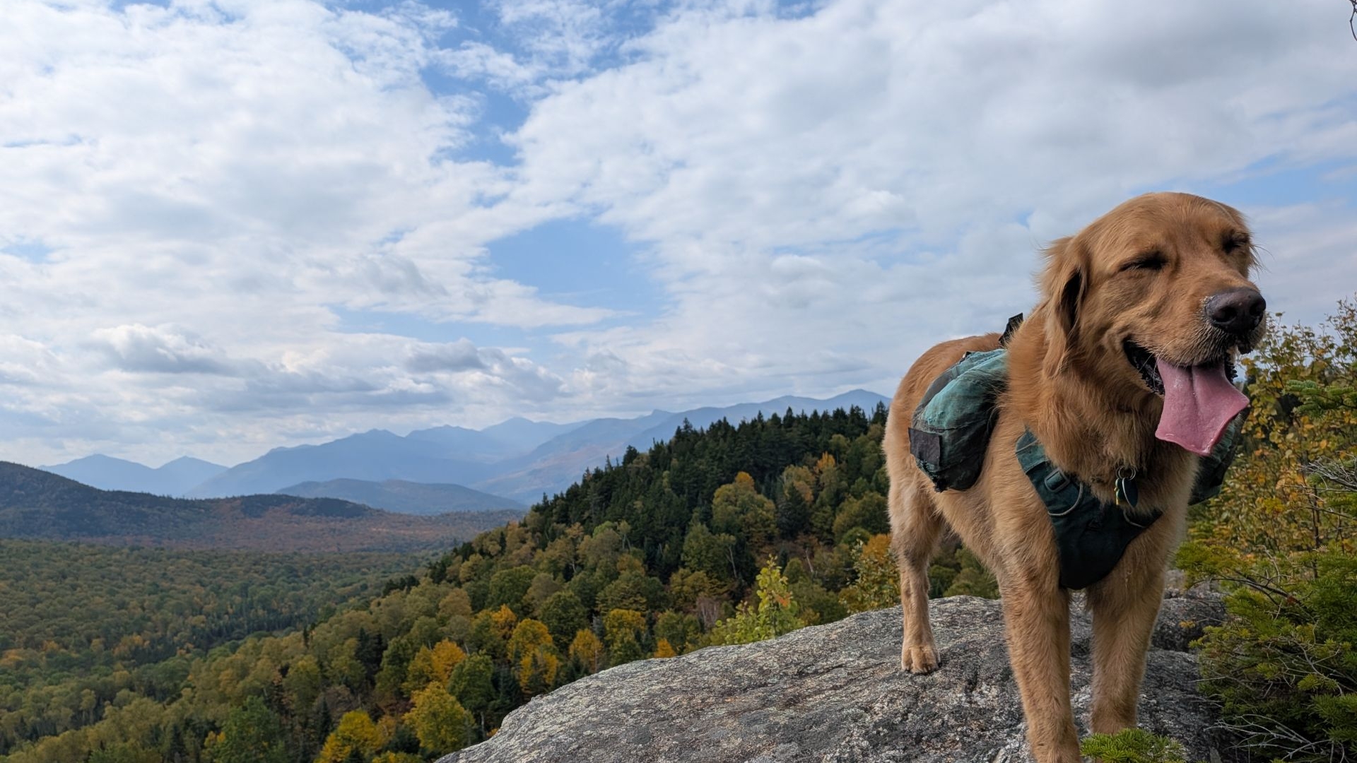
Sporting my new 46er shirt with Sunny on the summit.

The ridge isn't all rocks and summits. The soft trails between peaks were beautiful to walk through. Cols are often some of my favorite places in general, but these on the Soda Range were pleasant and verdant this time of year. The smells of Autumn permeated the air. Although the cols did feature the usual marshy patches, the trails are in great shape, even here.
Dan and Jay appreciated my col song a few times.

The terrain was so much fun from beginning to end. The hike reminded me very much of the hike across Bald Peak on the way to Rocky Peak Ridge, especially on Coal Dirt Hill.

Here we stopped for lunch and enjoyed the day. Sunny was very nice to Uncle Dan until the snacks came out.

I asked Jay to take an epic photo of Sunny and me on the ledge looking out. Sunny was interested in Jay and Dan's snacks at the time.

Beautiful view after beautiful view popped up across the entire ridge.

I strongly recommend this hike, both for the views...

...and the challenge.

The puppies were in heaven.

We enjoyed the variety of familiar fall colors in the underbrush on the higher elevations; you don't need to summit a High Peak to see them.

The reindeer lichen was prolific as hell today.

Old Man's Beard. The guys said Peter Jackson used this for Treebeard's beard.


The main breadth of the Nun-Da-Ga-O Ridge bumps and wiggles above 3000' and offers multiple views, however at its end (counter-clockwise on the loop), is a bit vexing; at least two herd paths spiderweb out from the end of the final ledge view. At this point, the trail actually climbs down the front of the ledge, directly down the rockface. There are a couple of yellow discs pointing the way if you look for them. If you're coming up clockwise, it's no issue here; the way is much easier to find.

The pups and people were a bit incredulous about the descent, but they picked their way down without much trouble. The climb to the ridge would be a lot of fun in the clockwise direction, but we were very glad to have hit it from the other direction.

Super fun!

But the views don't stop.


Earlier, Dan had suggested that we might want to bushwhack to the top of Big Crow Mountain instead of hiking down to the junction and back up. When we got to the place where this would be most advantageous, the terrain looked doable. Indeed, we easily picked our way up through the woods to the summit. We even noticed a lot of sign that we were not the first people to do so.

We saved ourselves a lot of effort taking this path.

Of course, we spent an extended break on the summit of Big Crow, enjoying the views of upper Keene Valley and Cascade Mountain.

We flew down the mountain, passing lots of families enjoying the short hike from the trailhead to the summit. The last short trail from the bottom of the mountain to the parking lot was a final bit of Autumn wonderland at the end of the hike.

I think we were all a little surprised how great the hike was. Sure, we were all expecting a nice day in the woods, but the views and the challenge were just about perfect for a day like today. Even the drive home was lovely.
We're going to try to get another similar hike in before too long in order to enjoy the season before the brown takes over. I'm not sure where it'll be, but expect another similar adventure sooner rather than later.
Route Map

Gorgeous Autumn Day on Soda Range.gpx (415.65 KB)