On our way up, it occurred to me to stop and have a look at the Chapel Pond public camping area. I've always wanted to stop in there and have a gander, but I either always forget, don't have time in the morning, or it's too dark in the evening.
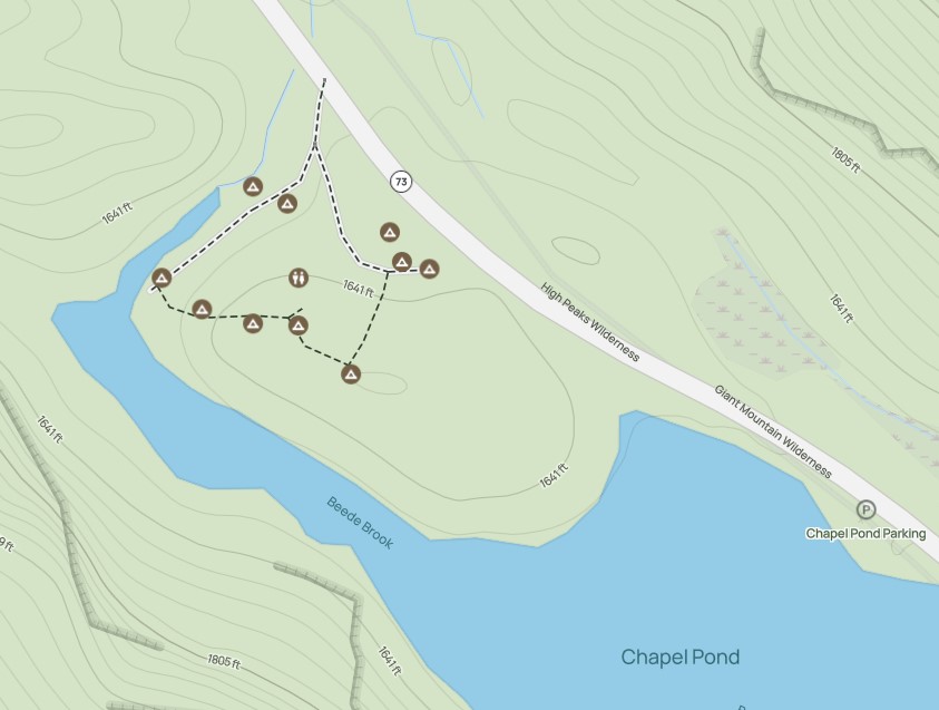
The map shows several sites packed in here. I do wonder how busy this gets in the depths of Summer.

As you pull in, there are some nooks tucked away for parking and several areas that look like they might be for tents. There's a big puddle in the middle of one.

To the right of this initial area and also uphill to the left are two narrow roads leading into the woods. According to the AllTrails map, these are short and do not loop around. I don't know if that's actually true or not, but we didn't get out to check. I was not going to bother driving down the road to the right because a boulder in the center would clearly not allow my Rav 4 to pass. Up the hill would have been doable I think, but I decided caution was the better part of valor today.
There is parking just down the road, so if you feel like your car won't make it, you could unload gear and bring it up to a site, then park down the road if you wanted. I may come back for another look next weekend.
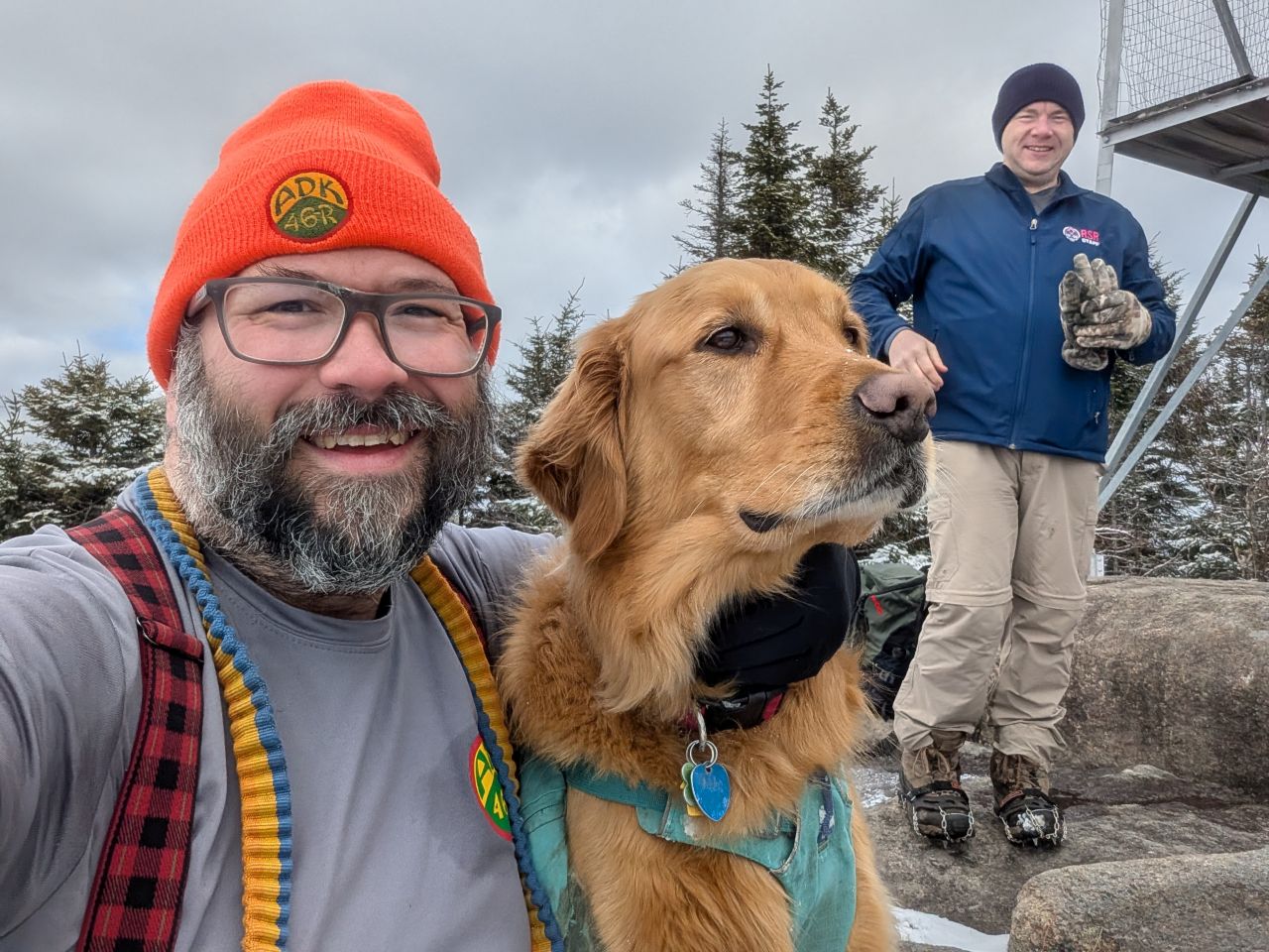
Saint Regis Fire Tower
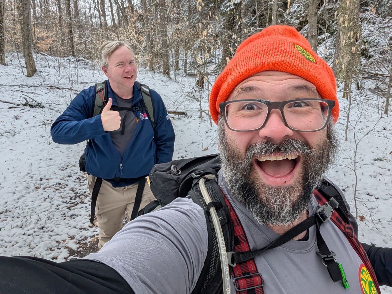
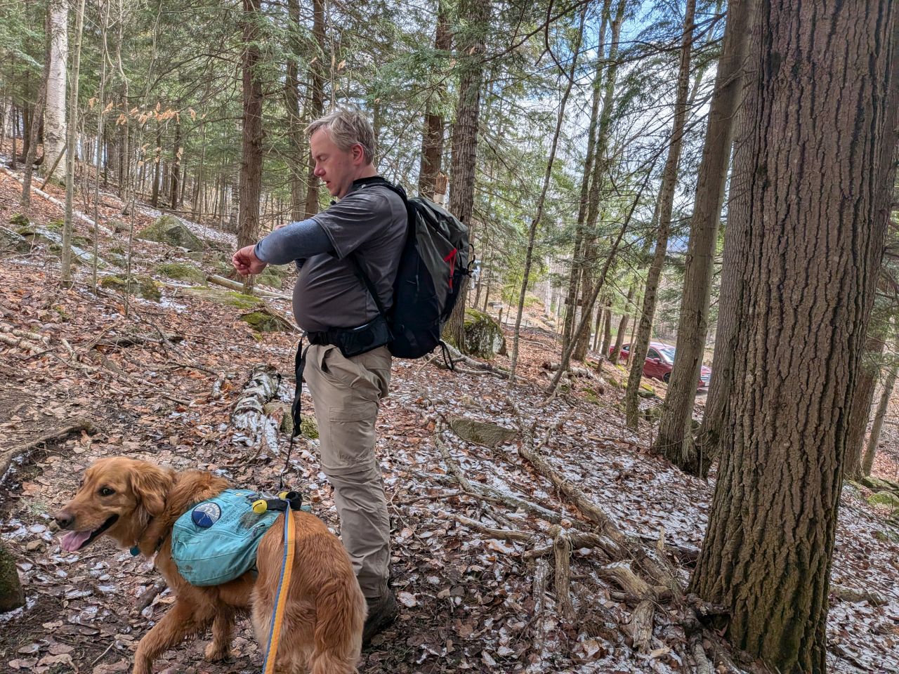
We arrived at the huge Saint Regis Mountain lot just before 9:30am and we were on our way fairly quickly. It was a brisk morning in the mid to upper 20s, but the temps were rising steadily. On the drive in, the weather had been a bit cranky with flurries and the wind blowing the loose snow in billowing gusts from the peaks. Here, although the breeze was certainly present, it wasn't terribly strong.

There was a fresh dusting of snow on everything, including the trees. We made some jokes about enjoying our taste of "Second Winter", but it was honestly nice to add a little decoration to the Brown Season colors.

After a short leg down the road, we signed in at 9:40.

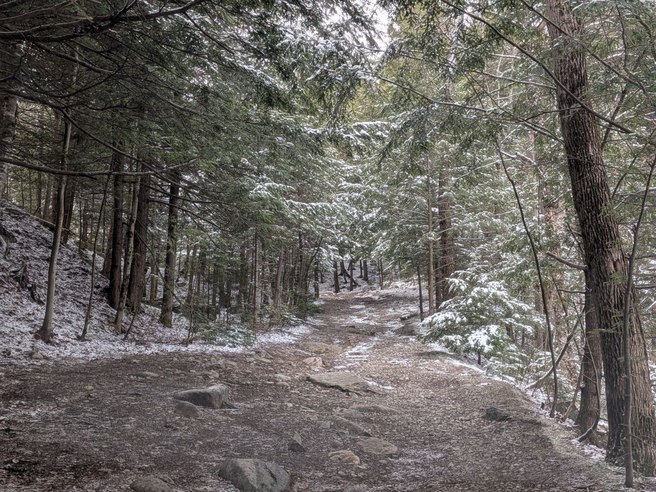
The trail begins with climbing a gradual 200' up a bit of a lump before descending again. The trail conditions here were quite stable with a little mud here and there. We moved at a pretty good clip. Sunny remained leashed for now.
Hooray, snow!
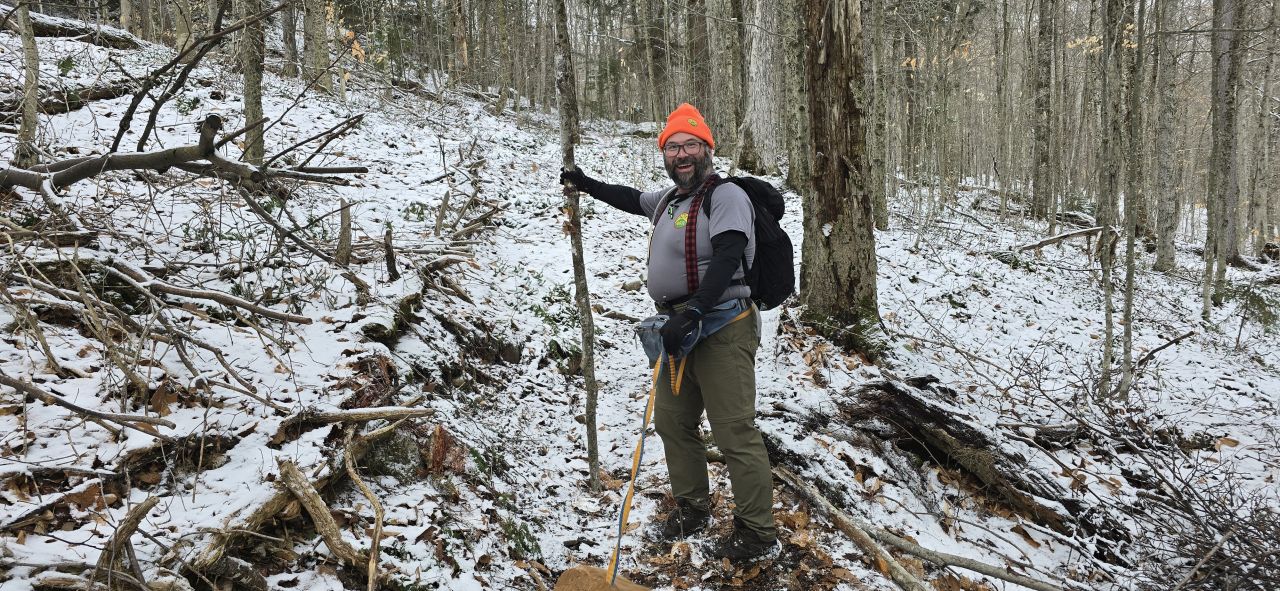
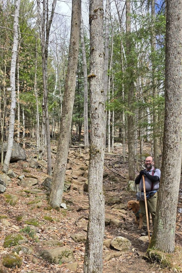
I'd left my hiking stick at the car, of course. Dan patiently waited several times for me to select a temporary replacement. The first one was too small. The second one was too light. The third one was just right.

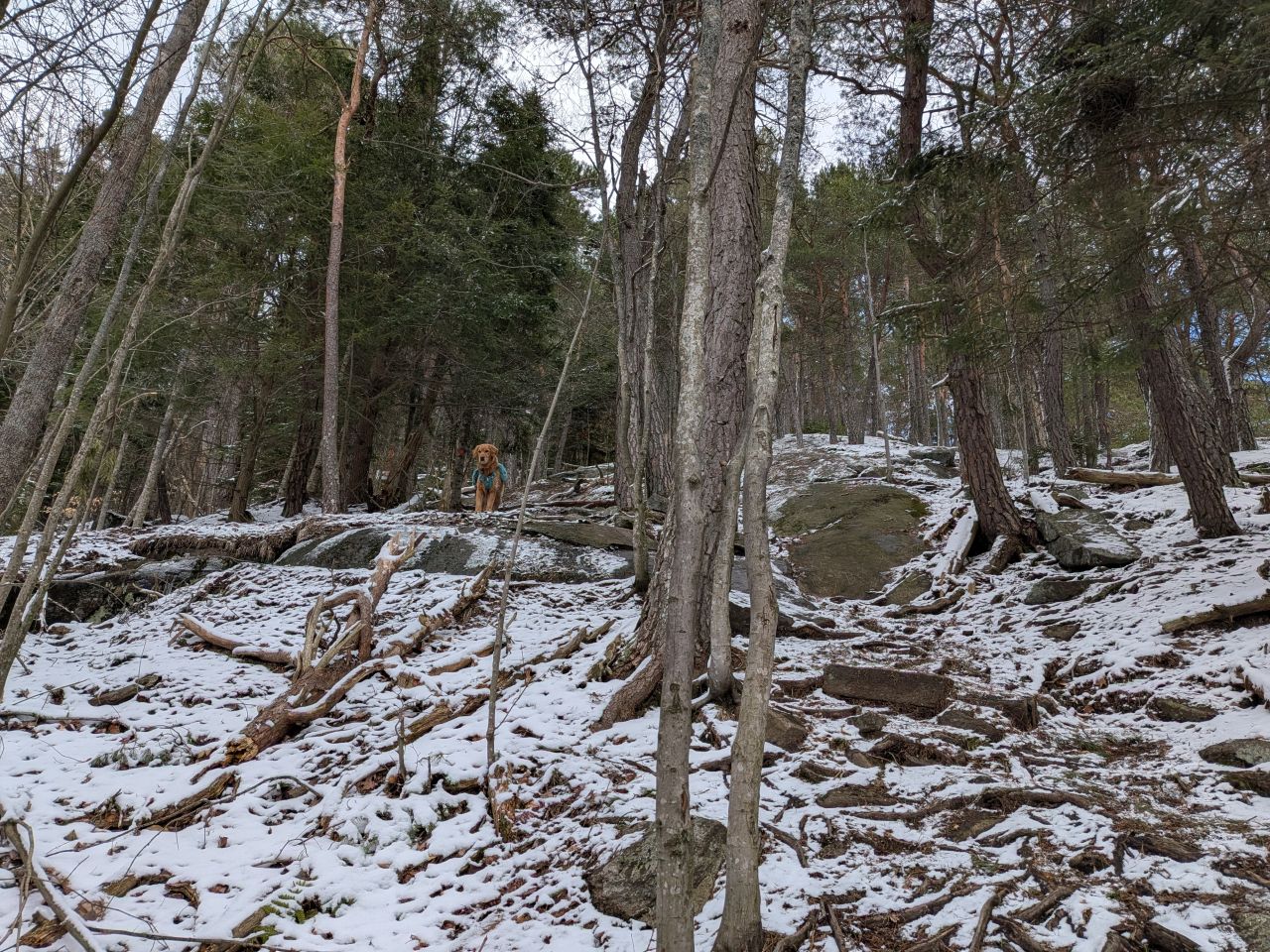
The terrain does a bit of up and down over the first lump of elevation. We saw no footprints in the snow despite there being a couple of cars in the lot. We figured those folks might have taken one of the other trails or were paddling rather than hiking. Dan suggested it might be okay to cut Sunny loose and I agreed. He was quite happy about this and frolicked merrily.

There were a few unofficial trails and/or significant sites marked along the way. This one reads "Moose Sawyer's sugar bush maple syrup gathering mid 1880". Another read "Eddy's Garage a deer drive 1940s - 1950s".
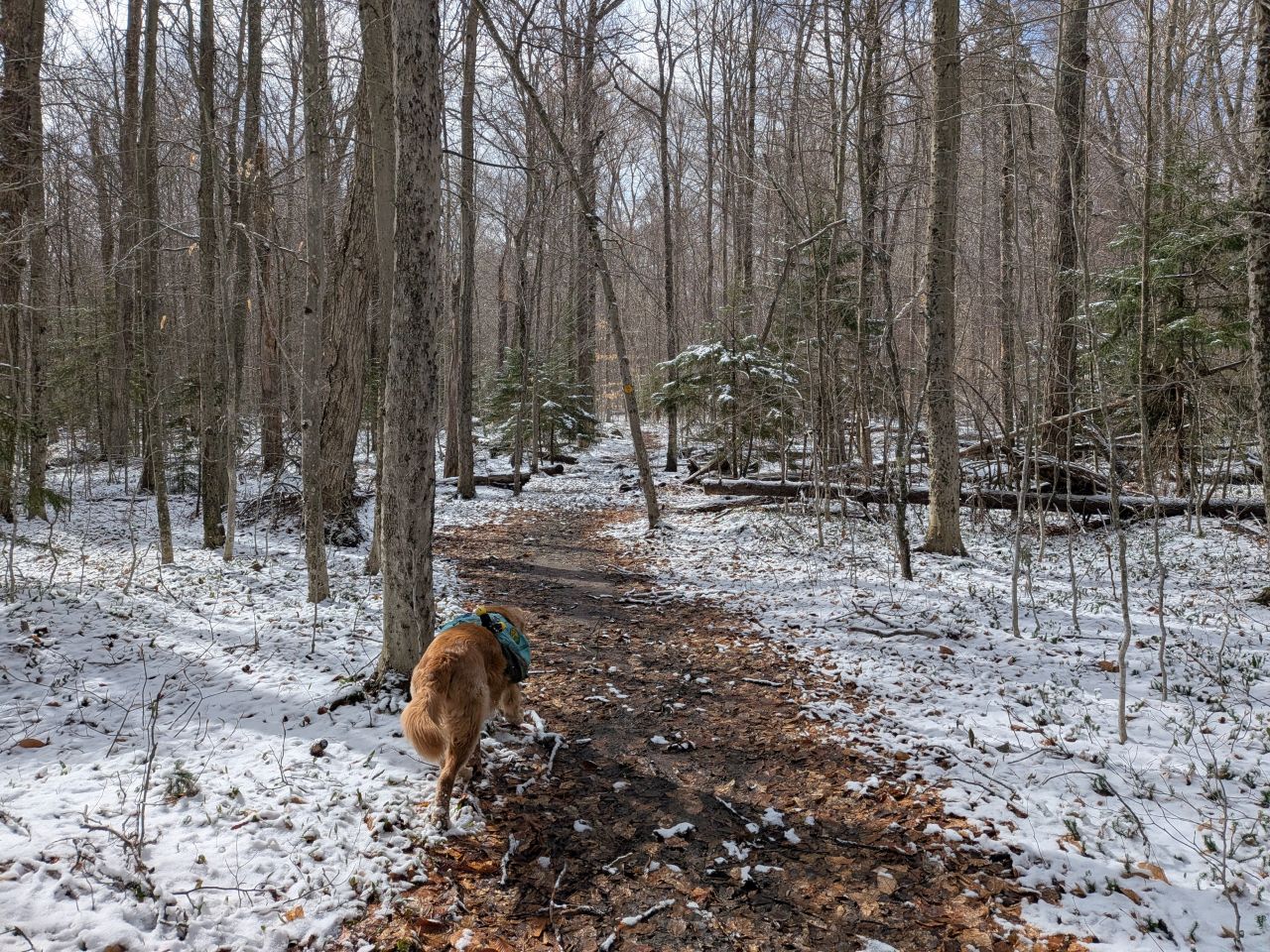
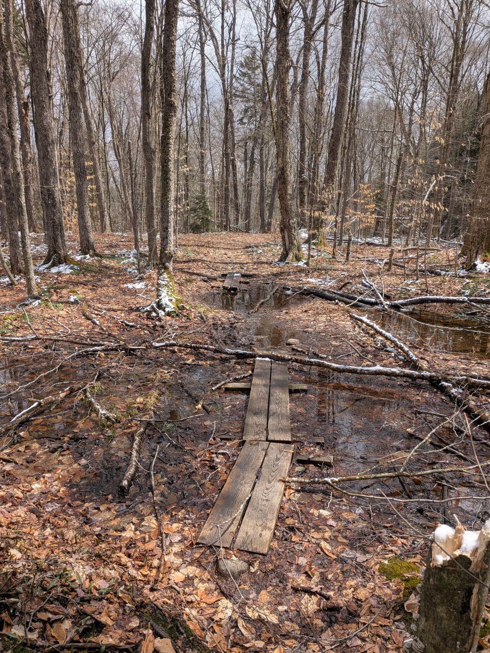
After a mile of steady ascent, we descended for half a mile to the bottom of the hill, having lost all but 50' of the elevation we'd gained. There was a short, flat section before the trail started climbing again. These lower elevations had a bit of mud, but nothing really to complain about. I think there were two large puddles on the trail, one with boardwalks and one without.

It was time to climb again, but for reals this time. The next 3/4 mile from the bottom of the hill only gave us 200' of gain, but it was a good warm-up for the rest of the day. We passed the junction with the Spring Bay Trail without noticing it and then stopped for our first pack-off snack break.
Oddly, shortly after this, we found a tree with a red trail marker nailed to it, despite the fact that the markers should be yellow and no other trail intersected there.

There were several instances of blowdown on the trail today. Most of it, however, was in the first half of the hike. I think there were two or three that we had to circumvent.
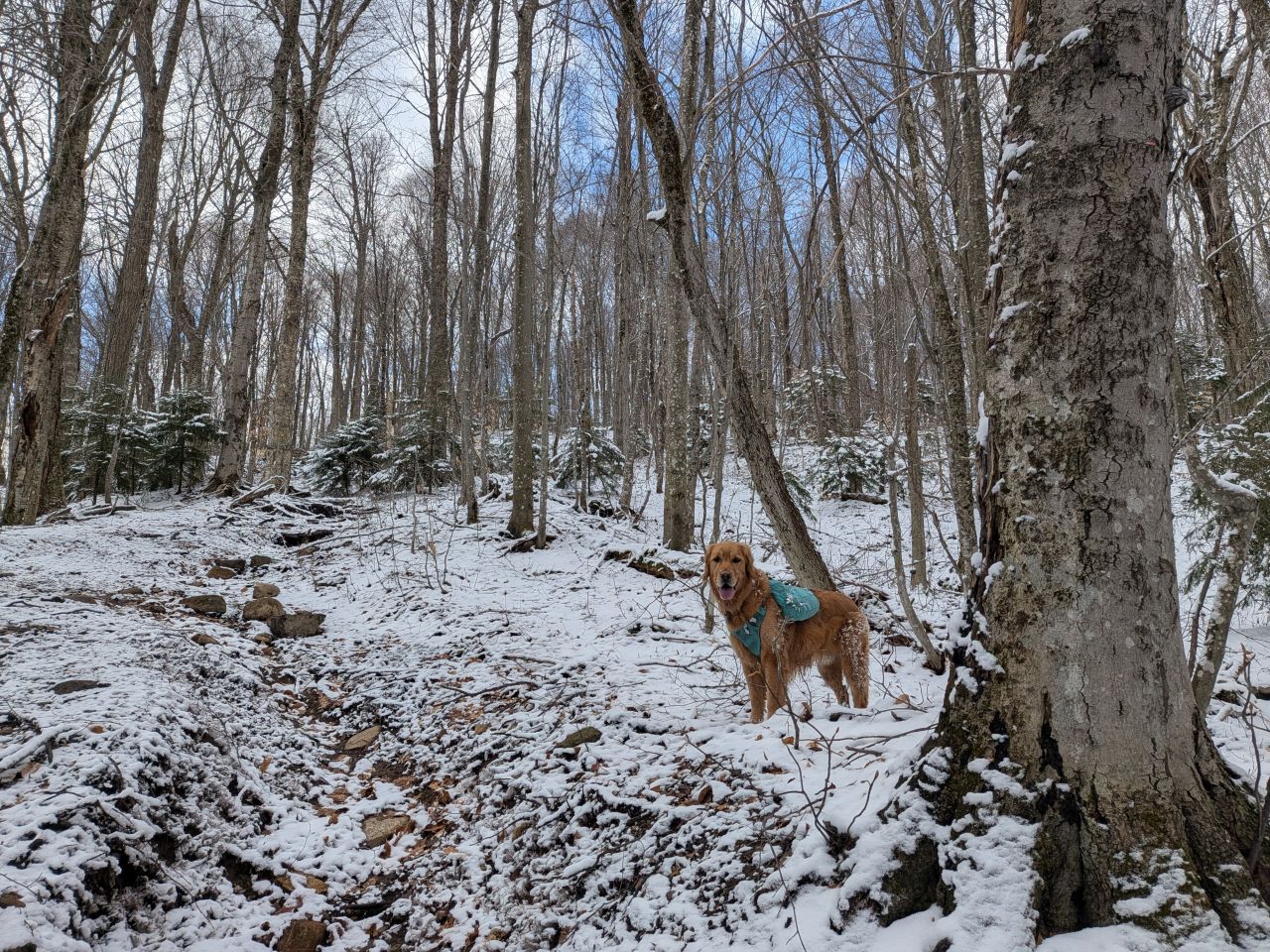
As we gained elevation, the skies began to clear. Sunny was having the time of his life. Dan wondered if Sunny remembered the fact that, just a couple of months ago, he was trying to drown himself in snow on Tabletop.

"You take the high road, I'll take the low road." After a few weeks in the Catskills, it was heartening to see some "YOLO straight up a drainage" trail design again.

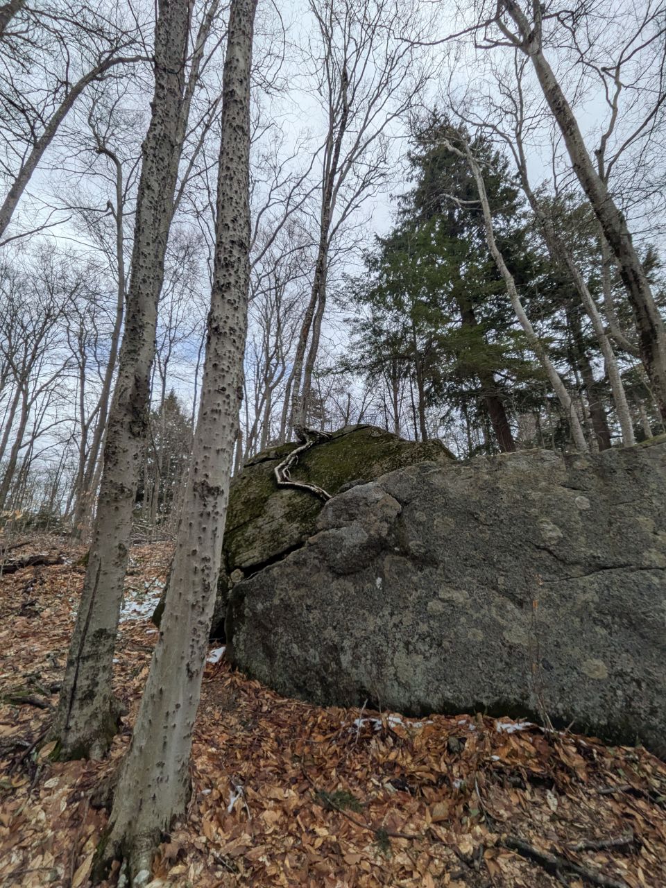
There were several fun erratics to look at and climb around on this trail. I bet young people love this hike.

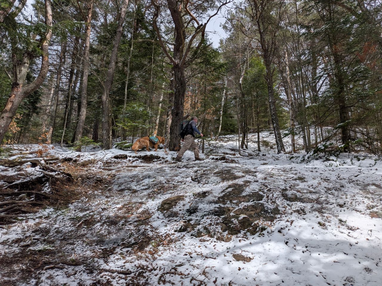
The trail eventually curls around the summit. Here, we found real ice. We were able to pick our way up it, but for safety we both donned our microspikes for this part on the way down later.

We were within sight of the fire tower by around 11:25, climbing the 1300' (or so) over 3.5 miles in a bit over two hours. According to the tracking software, Dan and I actually did maintain a better than 2mph pace average for the hike, including much of the climb.
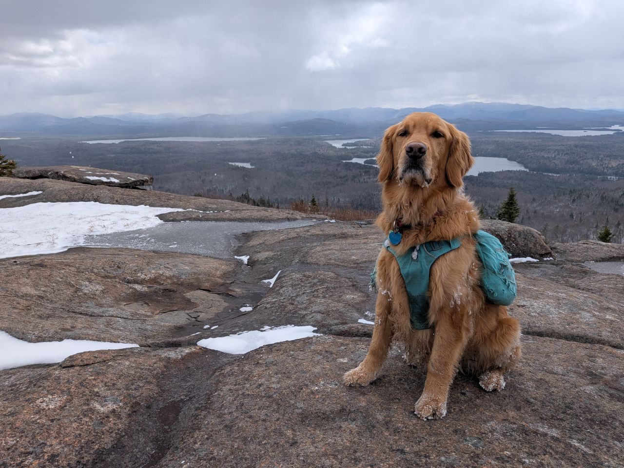
Sunny definitely does these poses for the photo, not the treat I'm holding.
The skies were once again mostly cloudy and the wind was very noticeable in out of the West/Northwest. Once we got in around the lee of the summit, the 35F and breezy was more bearable.


It was difficult to really make out what I was looking at, especially with the big ones so obscured. Still, despite the weather and the naked trees, the views were quite invigorating today. It was cool to watch the flurries blow across the countryside and the constant gusts of wind enveloping the distant mountains in their own snow.
Looking at the vast expanse of ponds and lakes, it was easy to see why this area is so popular for paddling. Even the bodies of water that weren't connected with a navigable route seemed to be close enough to portage without too much fuss.
Hooray, lunch!
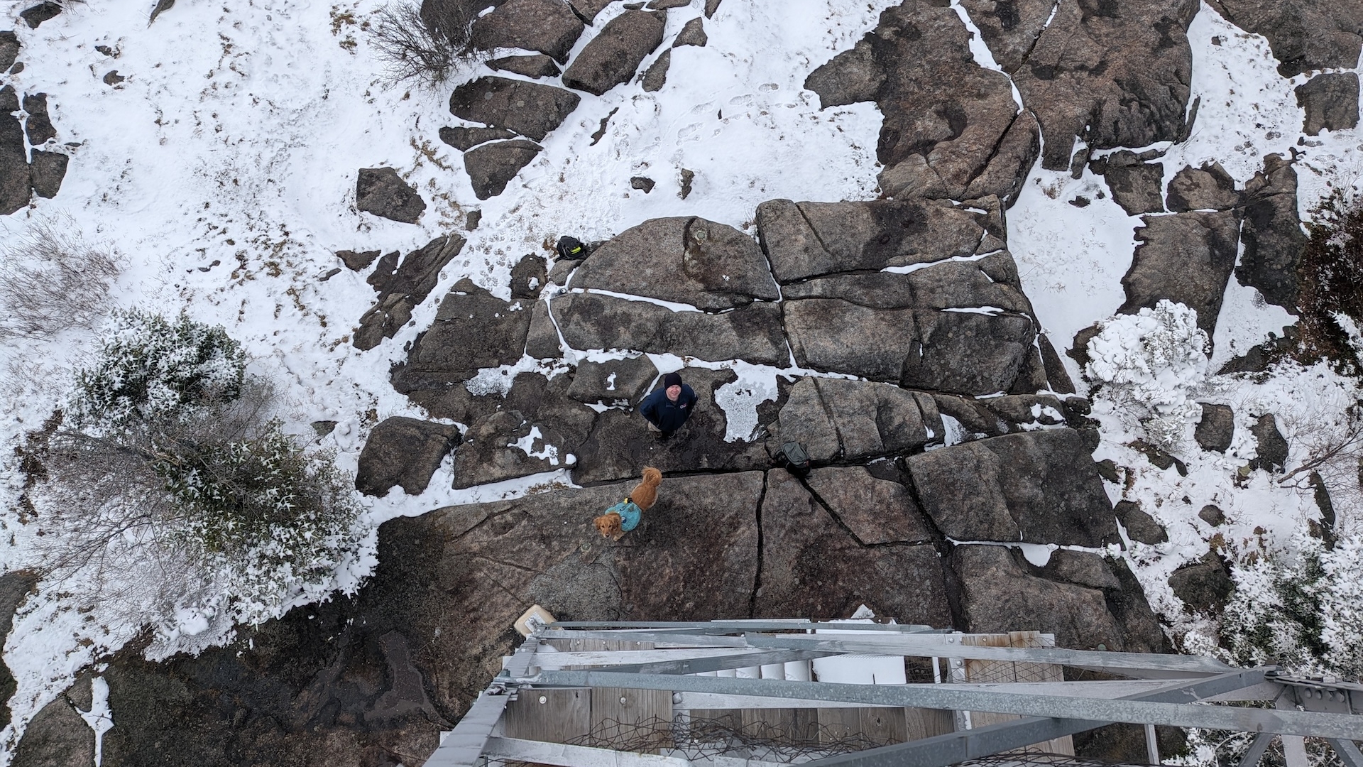
We ate our sandwiches and enjoyed the fire tower. It's always much easier to enjoy a fire tower with a friend there because someone can calm down Sunny while I climb it. The tower on Saint Regis isn't very tall, likely because it doesn't need to be in order to peek over the few trees up there. There's only stairs; no ladder.
I kind of took my time to enjoy the day. With our windbreakers on, it was fairly pleasant in the lee of the summit. With the IPA empty and our microspikes donned, we were on our way back down by noon.
The sun started making its presence known even more on our way down the mountain and the snow quickly started to disappear. Although the trail meanders East and North, there's plenty of exposure, especially at noon. After the initial dismount from the summit, the trail was fast. Between that and the sunshine, I was feeling great.
This was all despite my wet feet. I was a little annoyed at that, but I think these boots are on their last season. Wendy made a good point that although these boots were purchased only a couple of years ago, they did probably have about 500 tough miles on them. That's definitely something to think about.
We were back at the car by 1:20. We were definitely feeling like making the best of the long drive and hiking another mountain, so we headed towards Saranac Lake.
Baker Mountain
Baker is a little mountain right on the East side of Saranac Lake. I hadn't really researched the mountain, but I figured it was likely added to the Saranac 6er with the same logic that Cobble Hill had been added to the Lake Placid 9er: a decent starter mountain accessible right from town.

We were packed up and ready for the 2nd mountain of the day by 2:00pm. By now the air temperature was over 40F and the sun was dazzling.

The trail began gaining elevation almost immediately. Sunny was a bit annoyed at being leashed again, but there were several cars at the trailhead on Moody Pond.
Stick!
Less than a quarter mile into the hike, the trail passes very close to the back yard of a home.
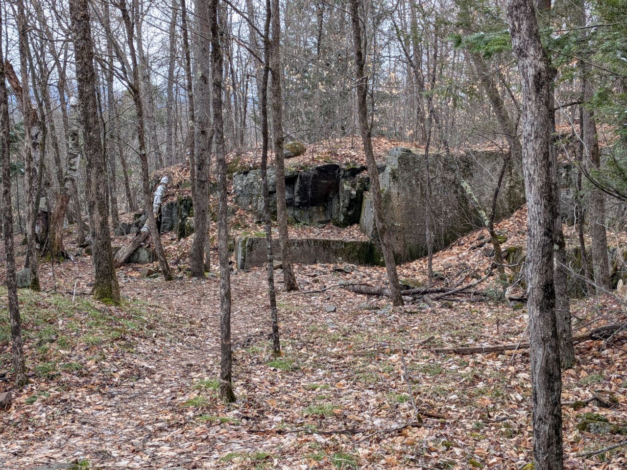
This feature seems to be a quarry. It's backed up by some quotes available on a local wiki:
Phil Gallos, in By Foot in the Adirondacks 1972, pages 137-139.
“The quarry at the base of the mountain is where we went for ‘thrills.’ It was a great place to break bottles. The supply of good throwing-stones was limitless. When we were lucky enough to have a big brother’s .22 in our possession, the quarry became what we considered a first-rate shooting gallery. . . . Also, the quarry contained a very enticing vein of fool’s gold (iron pyrite). Boy, how we hacked at that stuff! The chisel marks are still there. So is the fool’s gold.”
Also:
Plattsburgh Press Republican, September 21, 2015
"Lookback: Week of Sept. 21 to September 28," compiled by Staff Writer Ben Rowe
There are large deposits of feldspar in the vicinity of Saranac Lake and some of them are close to that village, one of them being located on Mt. Baker. Potash extracted from Prussia has been in short supply since the war broke out in Europe.
Also, it seems Baker is a success story of active conservation. In 1914, Baker was totally devastated by fire and the community came together to plant 15,000 trees on the mountain, including High School kids. Certainly, a lot of photos of Baker from that era show a very different mountain.

After an initial elevation gain of 350' up the side of the mountain, the the trail hooks a hard right and starts up the long Western spur. Here, at least in Brown Season, you can see the summit looming between the trees.
After a short hike across a bit of a short ridge, the climb begins in earnest again. The last quarter mile or so features about 400' of gain which is honestly rather upsy. The hike is definitely more challenging than Cobble Hill. It is a lot of fun, actually.

We met some friends on the way up. This is Lupita. She and Sunny got along great. We both let our dogs off so that they could play for a few minutes. They loved it.
As we gained elevation, we found unmelted snow. Sunny really had a lot of fun on the complex terrain.
There were more than a few icy slabs to negotiate on the way up and down. However, the trail is so popular that there seems to be a number of paths to negotiate them.

We found ourselves on the wooded summit 40 minutes after we'd started. Despite the obscured nature of the summit, trails spiderweb out from this place to numerous exposed slabs. This mountain can support a number of groups enjoying the view and eating lunch.
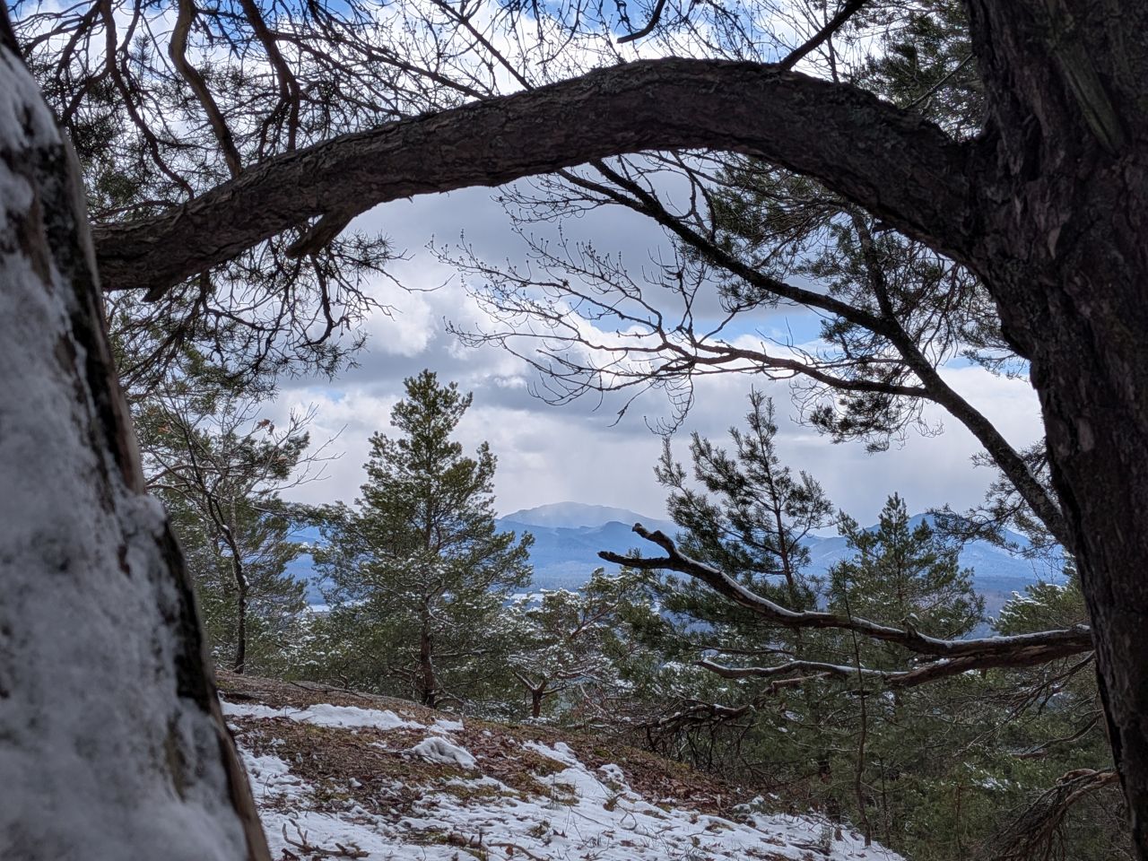
I found a little window on the way up. I genuinely have no idea what mountain this is. It might be Algonquin.

Hooray, summit.
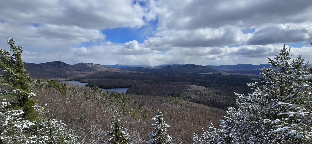
Dan took the best summit photo from Baker with the High Peaks region in the distance obscured by blizzard conditions and McKenzie marching off to the left.
After a short time at the summit and a quick chat with another hiker, we started back down. We made the descent without incident despite the patches of ice on the top third of the mountain.
At the end of the day...
Well, it was another awesome day in the woods. I was glad to have Dan with us as usual. I appreciate his commitment to making decisions of varying quality.

Sunny had a great day, too. We now only need Scarface for our Saranac 6er and we're sitting at 18 total fire towers.
I'll probably take Sunny to Lake George next Monday. I have trail steward training all day Saturday and I won't be taking him with me. I am certain he's going to give me the stink eye when I get home Saturday night.
Route Map


Afternoon_hike_at_Baker_Mountain.gpx (85.93 KB)
Morning_hike_at_Saint_Regis_Mountain_Trail.gpx (273.34 KB)