
Hiking to the Santanoni Lean-To
On the way to the trailhead, a road was washed out by the recent rain, so we had to be diverted. Fortunately, on the way home the next evening, the damage was already repaired (a herculean feat of civic operations).

We got to the trailhead and started the long march up Santanoni Road at around 3:30pm. This road is closed to vehicular traffic and is just a part of the trail now. There are two big culverts which discharge from ponds on this road and both of them were washed out when we got there. It was fairly fast-moving water, so I got into my bare feet and carefully helped Sunny across.

Many parts of the road were basically a stream. On our way back the next evening, the gravel was pretty well torn up.

Just after the road gives way to the proper trail, you come to a sturdy bridge crossing the Santanoni Brook. The water was, unsurprisingly, really moving.

There has been an attempt to maintain this trail, but it is just so muddy it defies human influence.

This is a trail? Yes. Yes, it is.

Still, we were in pretty good spirits, especially when we eventually found dry ground.

Bradley Pond/Santanoni Lean-to is situated on the feet of Henderson Mountain. It's at an elevated spot surrounded by evergreens, so the foliage is sparse. Its facing allows for a nice breeze in the lean-to which is great in the Summer.

The designated campsite is generous in size, but it was wet. Note that both the campsite and the lean-to feature firepits. An ADK employee who was staying at the lean-to explained that the Southern High Peaks are kind of the wild west when some rules are concerned. They aren't as popular, so the impact of having fire pits is much less pronounced. The sort of people who frequent these places are more likely to be the sort of people who properly seek out dead wood to burn and keep the fire contained.

I'd read some reports that this lean-to was in a state of disrepair, but when we got there, it was in magnificent condition. Thanks to the lean-to restoration crews, we had a great place to sleep that night.

Resting up before the big day! I actually decided to forego my tent and just sleep in the lean-to. If I could do it all over again, I might have left my relax-a-chair and my tent at home.

It was a really beautiful evening. I slept surprisingly well. I think it helped that there was another person in the lean-to next to me and three other people tenting in the sites at the base of the hill. The temperatures were perfect and the cool breeze and on-and-off rain kept the bugs away.
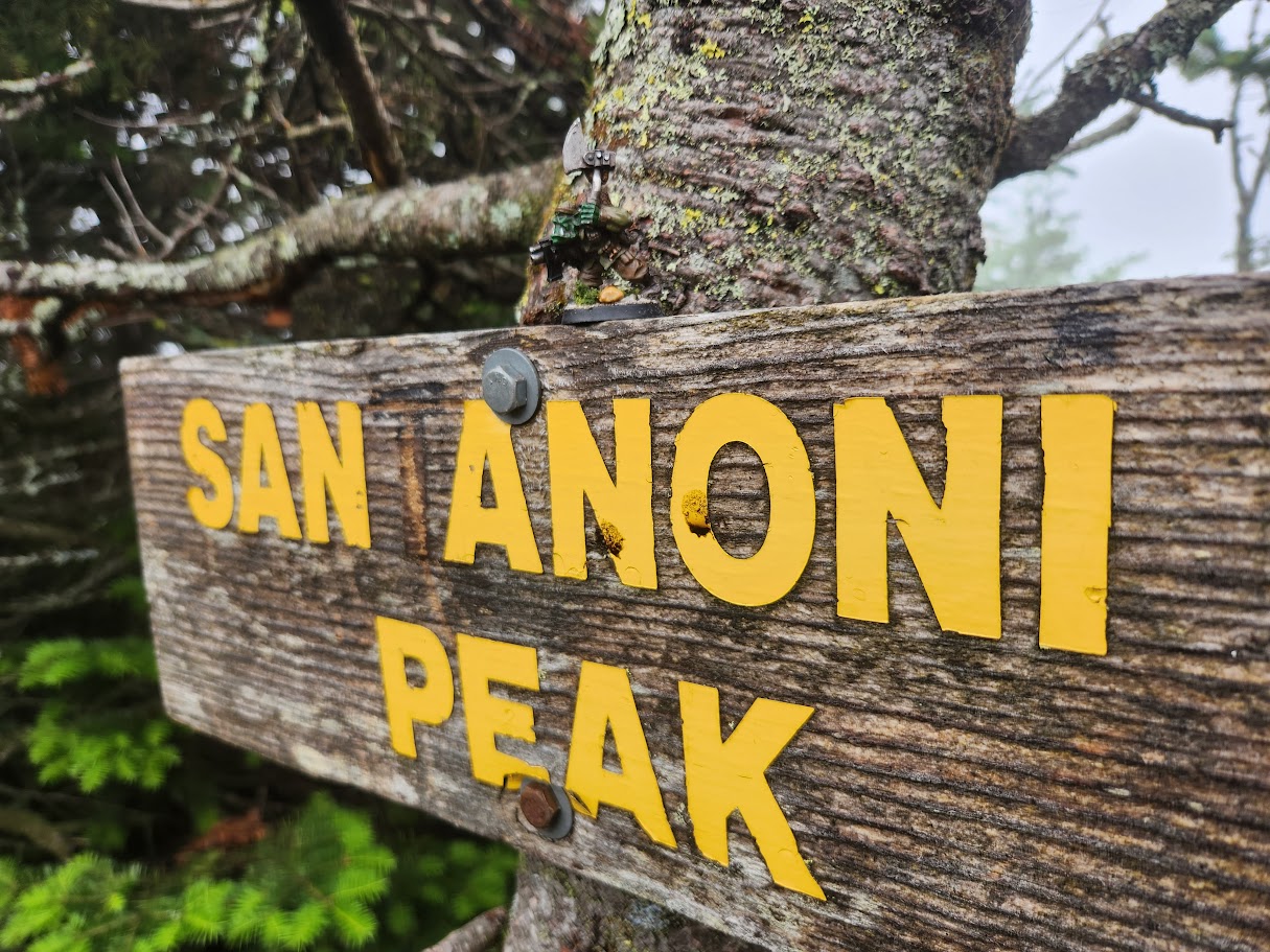
Santanoni

We awoke at 5am, cooked breakfast, packed up our gear, and got started. I left all the camping gear back at the lean-to. We started moving at around 6am. The day started on Bradley Trail and we hiked down to the junction with Santanoni Express. By the time we got to the Express, we were both already super muddy.

The bog at the foot of Santanoni afforded a view of the mountain rising in the distance.

The climb up Santanoni was grueling. I must admit I've been a bit lax getting my daily run in and I felt it on this ascent. There was a mixture of streams, boulders, and slabs to contend with throughout the ascent. The conditions of this hike helped remind me to trust rock before you trust roots. Roots can be very slipery while the rockfaces in the Adirondacks are usually porous enough to give you purchase even in the rain as long as they aren't covered in slime or ice.

A big ol' jumble of mess to climb.

"You must be joking, Dad." Alltrails showed people going around this rockface in both directions.

We successfully scaled it on the right side.

Every elevation gain rewarded us with a new and exciting mud bog to traverse.

Welcome to socked-in Santanoni Peak. We have mud and trees. You're welcome.
Adirondack Kommando was also not impressed.

A sense of dread forboding crept over us as Couchsachraga loomed in our minds, however, the hike from Santanoni Peak to Times Square was quite pleasant despite the obvious mud.
Couchsachraga

During the hike down to Couch, the sun started to come out. I also met up with a couple of hikers who camped the previous night as well. One was on his way back from Couch. The other had gotten turned around at Times Square and we were able to use my AllTrails to set us straight.

Hey, look. A bog. Weird.

There are, in fact, some nice views during the Couch ridge walk. I believe this Northern shot shows the Sewards.

There's one or two fairly significant formations ascending Couch, but nothing crazy. In general, ascending Couch reminded me of ascending a Lake George peak.

Obligatory rude gesture at Couch.

Adirondack Kommando agrees!

Looking at the ascent from Couch Bog back up to Times Square was daunting. We lost a lot of elevation going down (I think about 4300 feet down to under 3500 feet) and it would prove to be quite a challenge going back up with soaking wet boots. Sunny, our new friend, Mark from New Jersey, and I made it to the top, though. We parted ways, him going to Sant while we moved on to Panther.
Panther

Hey, look! Another bog!

What's this? Another bog? Shocked!

It was a short hike up Panther despite the bogs There was one somewhat gnarly rockface to negotiate, but it offered our best views of the day.

These views helped put into perspective the work we put in this day. Here's Santanoni in the distance on the left with its friendly PUD ridge in front of it and Times Square ridge to the right of that. Then, on the far right, Couch poking its head out.

Beauty shot of Santanoni.

I was grateful for the rewarding views on Panther and the challenging experience, but we were both pretty done. We ate some more food and drank some water. Sunny took a short nap.

Adirondack Kommando thinks dis is a great peak, but it's time to go home!
So I did a dumb thing. I was so in the zone descending Panther that I went right past the herd path and then went down the Couch trail about a quarter mile. I was furious with myself and charged back up the hill. I needed another honey oat bar after that.
Slog Home

There are a few nice views going down the Panther Brook herd path. Mark from New Jersey told me later that the hike down Santanoni Express also rewarded you with a lot of nice views.

The Panther Brook descent was a wet one! Our lean-to buddy, Nate, joined us for the bottom half of the descent. It was here that Sunny started to show fatigue. There were a few spots where he just seemed to not want to go any further, even ignoring simple commands, but in the end he perservered.

I believe the Panther Brook herd path, while shorter, is harder than the Santanoni Express. Take that information and do with it what you will. I will say that the herd path is very pretty with lots of cool rock formations.
We made it back to the herd path junction fairly quickly and oddly enough, New Jersey Mark approached at exactly the same time. He'd stashed his pack there (smart) and made off for home. Sunny and I went back to camp and started packing up. We said our goodbyes to the remaining campers, filled our water, and headed for home.
I did have to really encourage Sunny to get up from his little nap by the lean-to. I strongly considered staying another night, but we didn't have any food and I'd told my family I'd be at the trailhead by nine that night. During the hike out, there were several times he stopped and just stood there, looking at me like I was the meanest Dad in the world making him hike more. I gave him some treats as we went, trying to keep his energy up and that usually perked him up. Sunny was also very very sick of mud and rocks. He actively avoided all the mud pits and rocks when he could, choosing to walk in the brush instead. I didn't stop him. I will strongly consider planning anything over 12 miles as 3-day trips instead of 2-day trips in the future.
The Santanoni Road Walk was painful and long. I put on some music, turned on my headlamp, and just pushed on. We arrived back at the trailhead around 9:30pm.

That's numbers 15-17 done for Sunny. Here, you'll note Sunny has a new pack. After 14 High Peaks and other adventures, the other one was done for despite my repairs. After this hike, the new pack was already showing wear on the seams on the leading edge of the saddle bags. I added some superglue to seal them, but I suspect this one will also last one season. The rubbing of the bag against rocks as he tries to go through tight spaces is what causes this wear.
The next one planned is Dix Range minus Dix itself. We do plan on camping for that one, and I think that'll be doable despite the four peaks.
The hike I am very concerned about right now is Colvin and Blake. My original idea was to hike across the ridge from the Gravestone Brook bushwack, hit Dial and Nippletop, then camp at Elk Pass Trail, then hit Colvin and Blake, camp a second night, then hike back out across the ridge via Gravestone Brook. The problem is that I really am not sure I can carry a full backpacking bag across that ridge to the tune of 8 or 9 miles.
I guess I'll have to start doing some upper body exercises or something. We'll see.
Route Map

All day on Santanoni Range.gpx (1.11 MB)